Along the Travois Road
Walla Walla River to Clarkston (1806 Return)
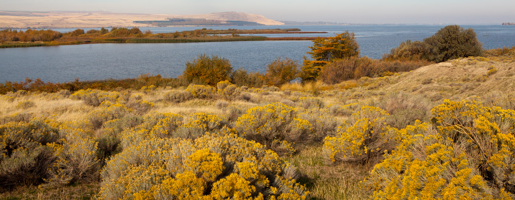
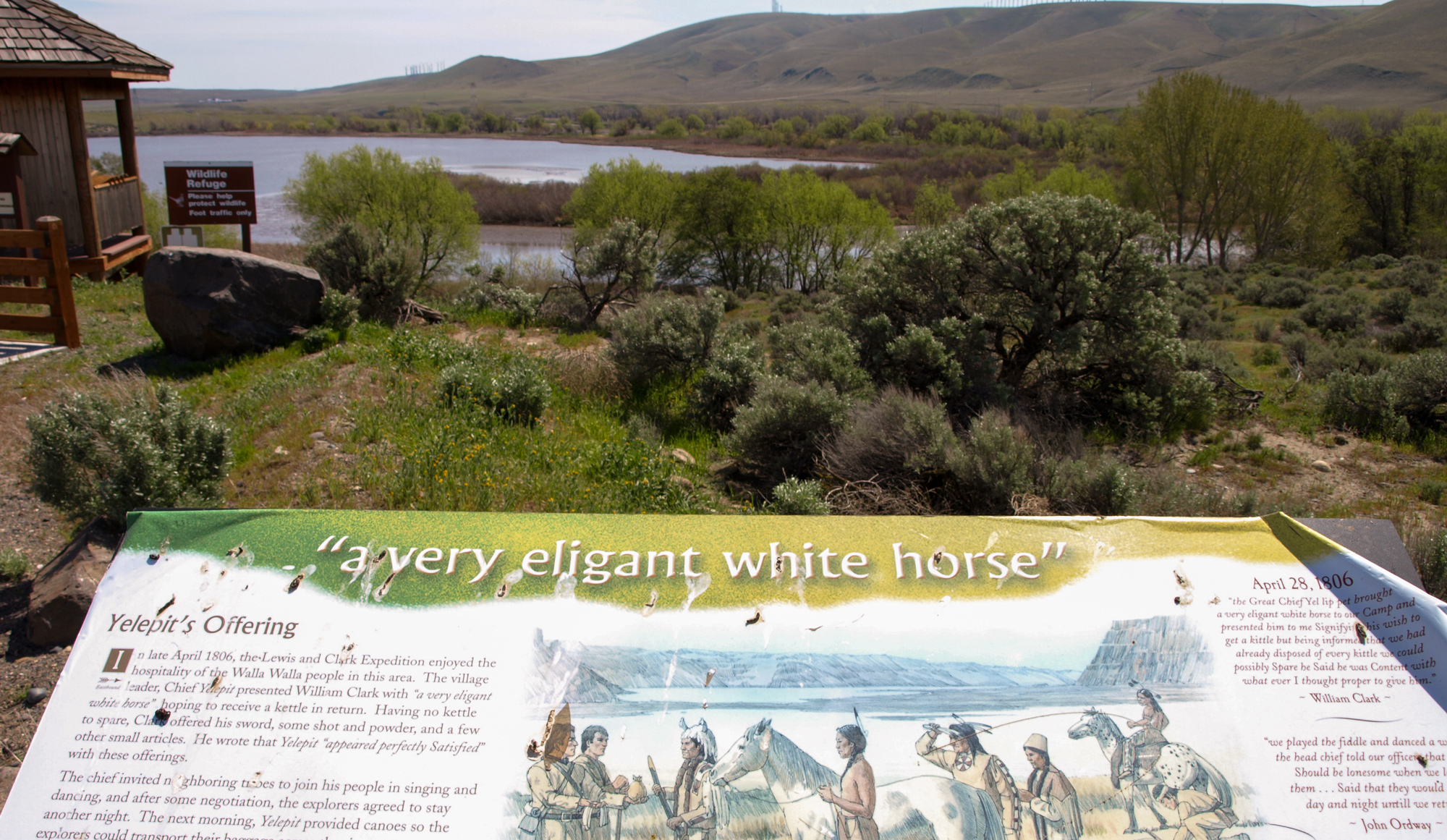
On April 27, 1806, while encamped at Chief Yellepit’s Village across from the mouth of the Walla Walla River, the captains received welcome information. There was a “good road” between there and the Clearwater River at present Clarkston, Washington. Lewis explains:
“the indians informed us that there was a good road which passed from the columbia opposite to this village to the entrance of the Kooskooske on the S. side of Lewis’s river; they also informed us, that there were a plenty of deer and Antelopes on the road, with good water and grass. we knew that a road in that direction if the country would permit would shorten our rout at least 80 miles. the indians also informed us that the country was level and the road good, under these circumstances we did not hesitate in pursuing the rout recommended by our guide whos information was corroberated by Yellept & others.”
This trip closely follows the ancient Travois Road—trails etched over time by the load bearing poles of a travois being pulled by a dog and horse. Follow along with the Lewis and Clark Expedition as they too traveled this “good road”. At one stop, you can still see the old travois marks.
Learn more by following the story at our educational website starting with April 27, 1806 and ending May 4, 1806.
You may also like our L&C Travel Magazine!
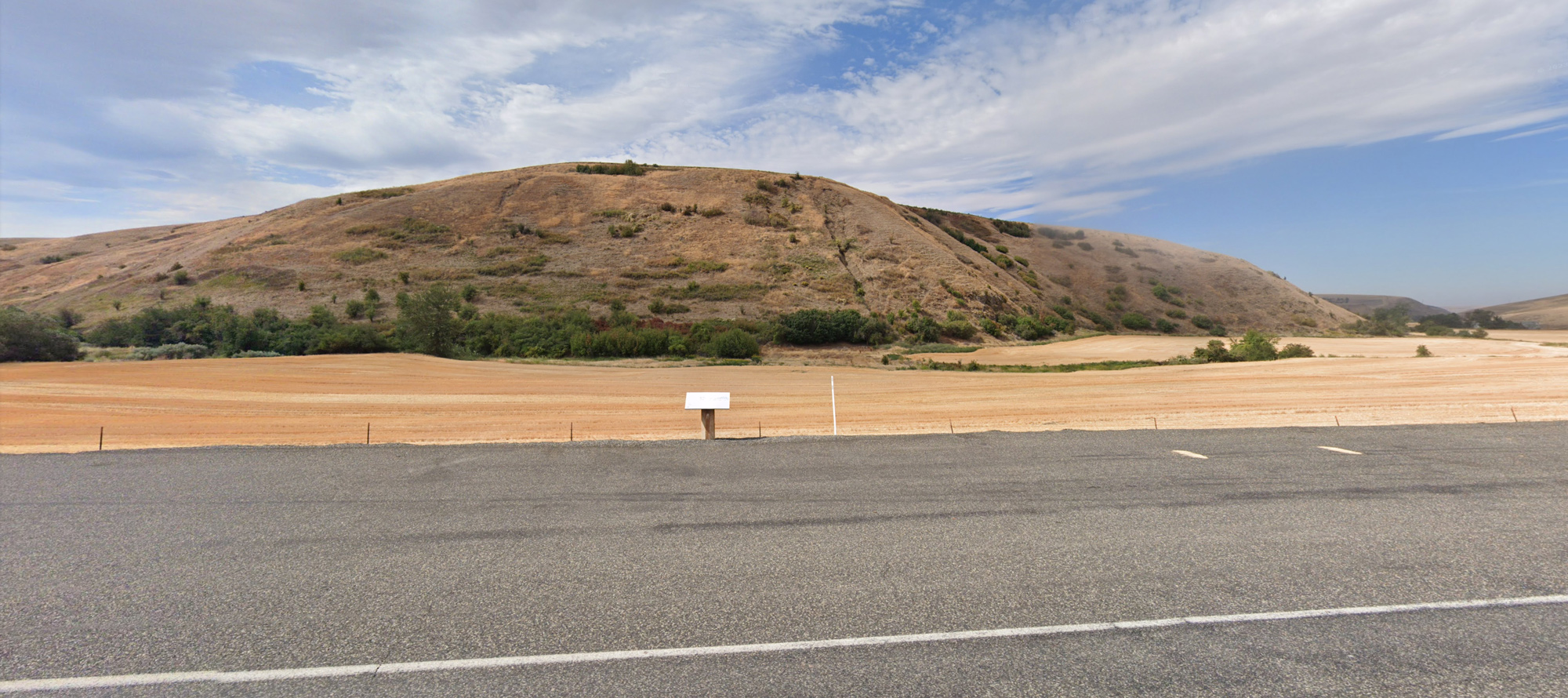
Along the remote Touchet North Road, one can enjoy the overland route taken by the Lewis and Clark Expedition in May 1806. An interpretive sign tells the story:
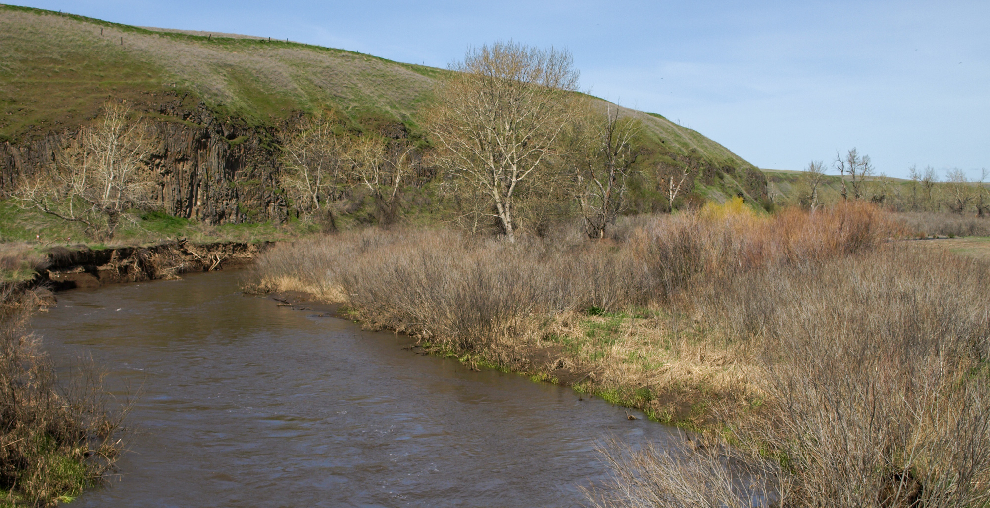
“After leaving their camp one mile above the mouth of the Walla Walla River, on the Columbia River, the Corps of Discovery followed a good road over level country that would shorten their route to the Kooskooskie (Clearwater) River. The expedition traveled across what is now Walla Walla County, through an open level sandy plain which featured many large banks of pure sand, 15 to 30 feet high, which are still visible today. They soon came to a narrow bottom of a bold creek (Touchet River) 10 yards wide, and made camp near this site.”
In the evening of May 1, 1806, the Lewis and Clark Expedition encamped at the site of present Lewis & Clark Trail State Park. There, Lewis was amazed when three young Walla Walla men arrived:
“some time after we had encamped three young men arrived from the Wallahwollah village bringing with them a steel trap belonging to one of our party which had been neglegently left behind; this is an act of integrity rarely witnessed among Indians.”
—Meriwether Lewis, May 1, 1806
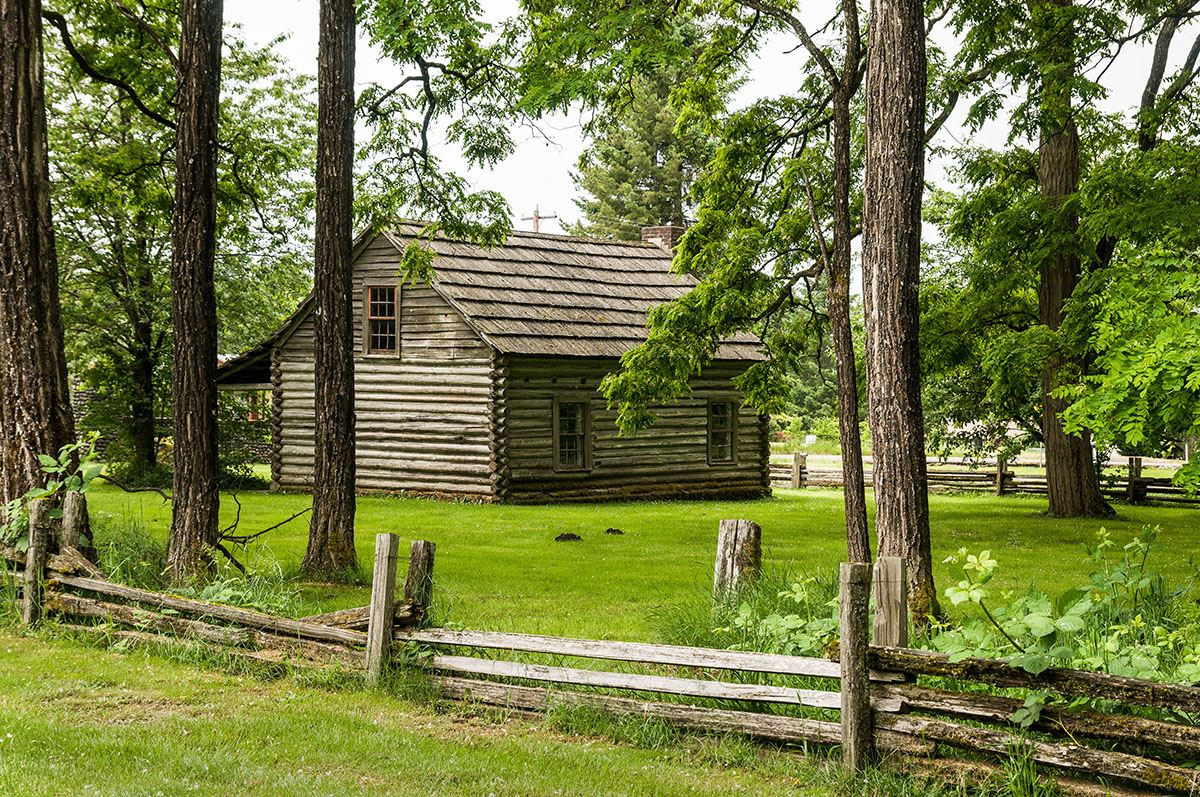
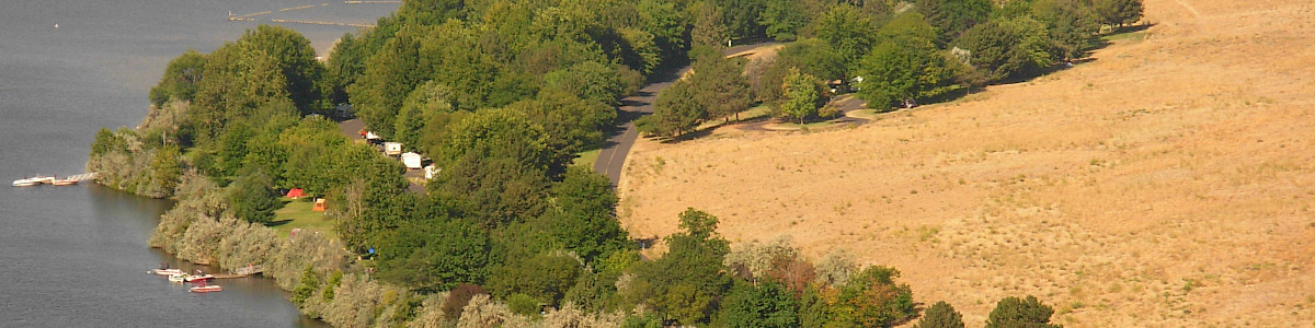
Lewis & Clark Trail State Park is a 36-acre camping park with 1,333 feet of freshwater shoreline on the Touchet River. Located along Highway 12, amid the rolling fields of southeastern Washington, it feels like a lush oasis in an otherwise dry landscape. Shaded trails through pondersa pine, alder, maple and cottonwood trees offer river access for tubing and wading. Birdwatchers may see common mergansers, red-tailed hawks and orange-crowned warblers, among others.
A reservable kitchen shelter with electricity is available. To reserve, call the park office at (509) 337-6457. Standard, non-hookup campsites can accommodate tents or motorhomes. Teepees and group camps are also available.
https://parks.wa.gov/find-parks/state-parks/lewis-clark-trail-state-park
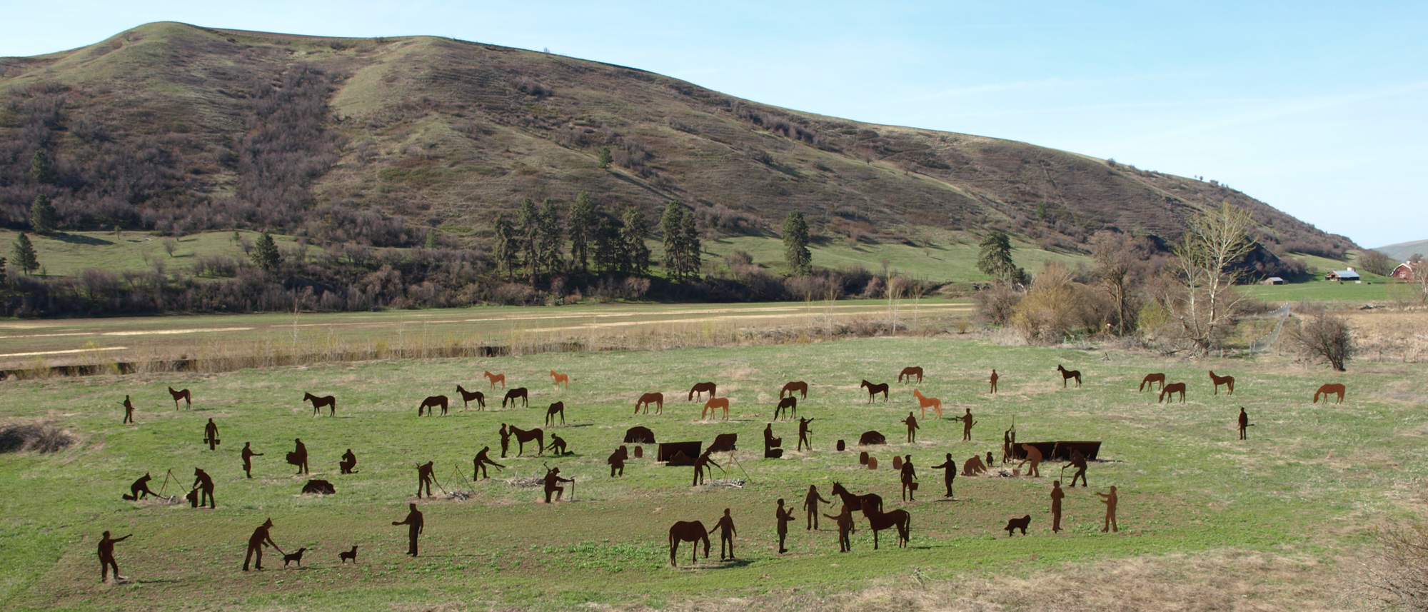
Two miles northeast of Dayton, Washington stands a unique Lewis and Clark attraction: “The Encampment” on Patit Creek. During the Bicentennial, a group of local residents created life-sized, metal silhouettes for each member of the Expedition and placed them in a setting to recreate their campsite of May 2, 1806. Capt. Lewis’s dog Seaman and the horses the men had with them are also represented. The site may be viewed from a roadside pullout that overlooks the site and boasts a legend plaque identifying each figure.
This is the only place on the Historic Lewis and Clark Trail that you can see a life-size replica of a Lewis and Clark encampment!
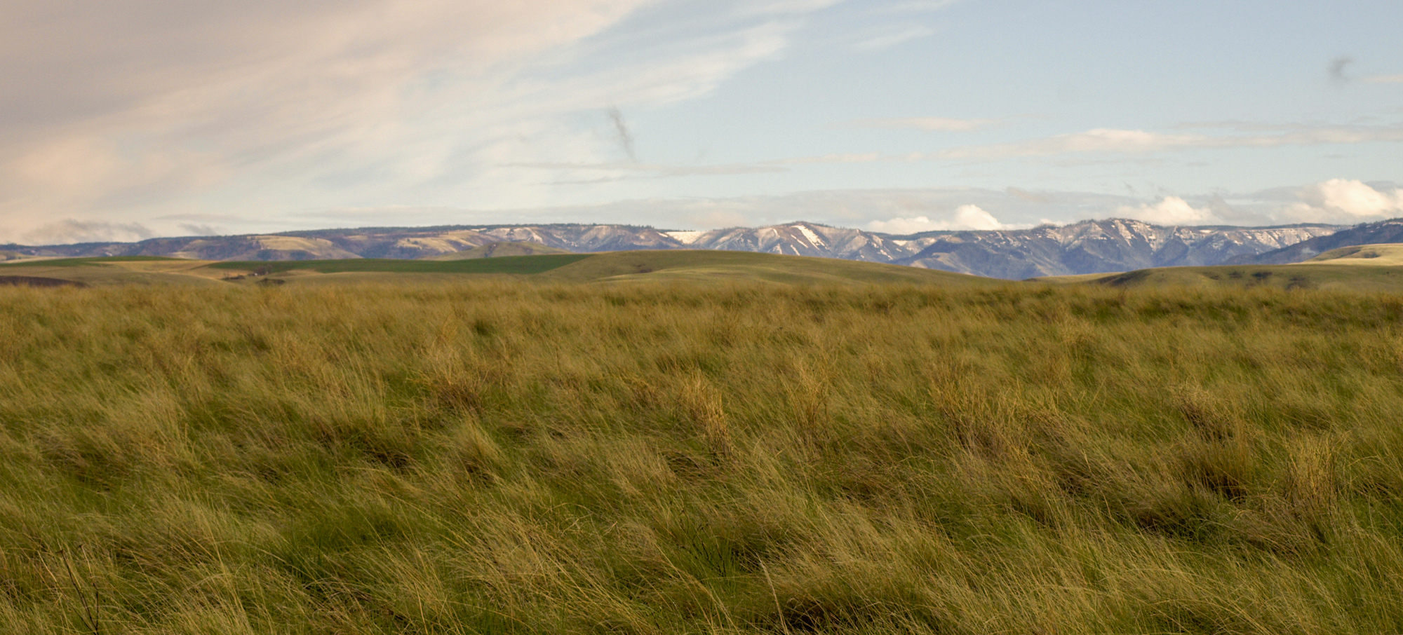
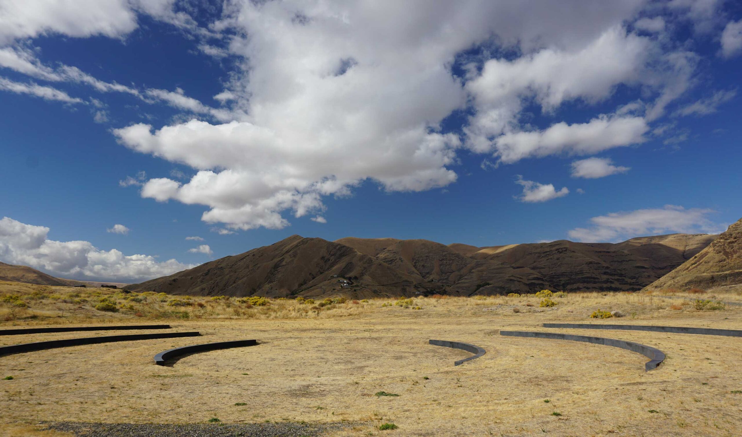
This route follows the trails used for thousands of years by the Nez Perce and Walla Walla. It was the old stage road and even served as a state highway. The views atop the plains reveal the Blue Mountains, and you will want to stop often to pause and enjoy.
The roads between “The Encampment” on Patit Creek and the Tucannon River via Turner are mostly gravel and the area very remote. You are not likely to see another vehicle. Turner is not an actual stop but a farmstead and a road that will take you across the high plains to the Tucannon River.
If you wish to avoid the gravel road simply remove “Turner, WA” as a stop on the Google driving directions map. Instead, return to Highway 12 and continue east. The Tucannon River Road is paved, and you can take it to get to and from Highway 12 and the Kimooenim Creek Lunch Site. That is a lovely drive too!
On May 3, 1806, Meriwether Lewis set the scene:
“This morning we set out at 7 A. M. steered N. 25 E 12 ms. to Kimooenem Creek through a high level plain. this creek is about 12 yds. wide pebbly bottom low banks and discharges a considerable body of water it heads in the S. W. mountains and discharges itself into Lewis’s river a few miles above the narrows. the bottoms of this creek are narrow with some timber principally Cottonwood and willow.”
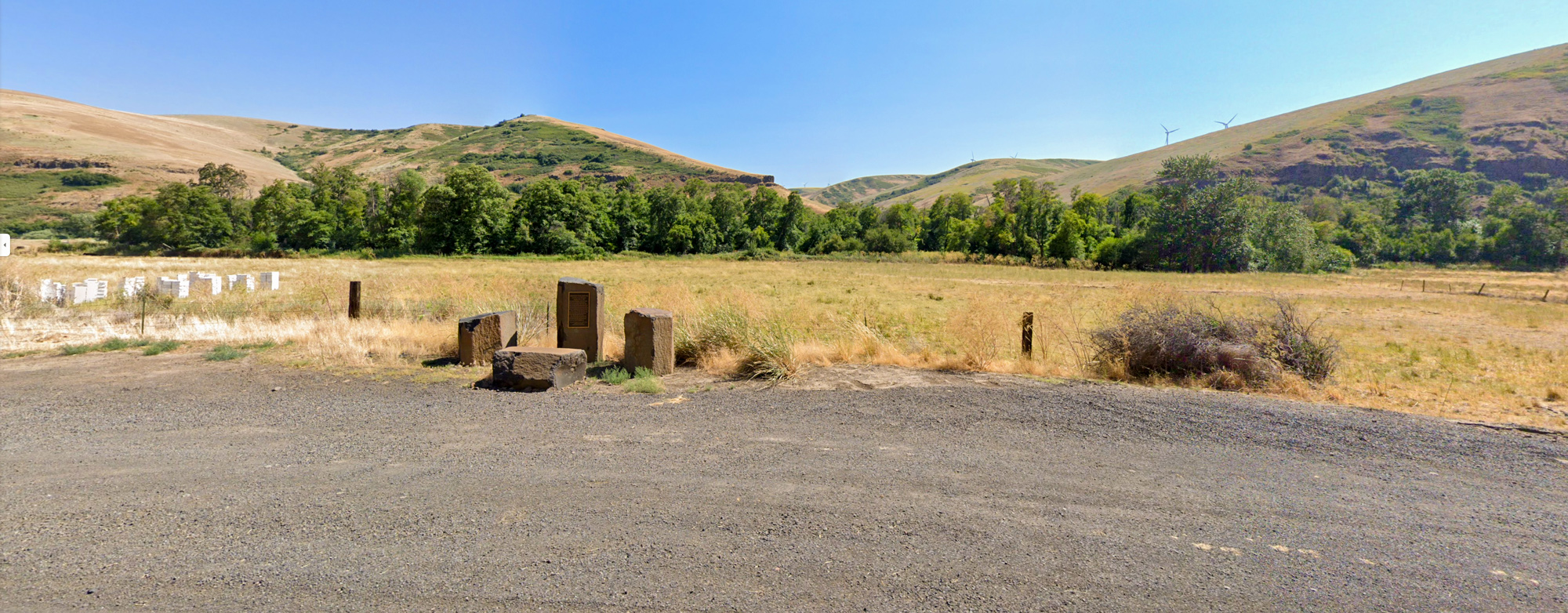
Today, a marker commemorates the Corps’ lunch in the Tucannon Canyon. The text of the marker reads in part:
“The Corps of Discovery crossed the “high plains” and descended to this location after a cold morning of rain, snow, and hail. They described the Kimooenim Creek (Tucannon River) much as you see it here including willows and cottonwood growing along it, a pebbled bottom, and low banks.
Traces of the trail they followed can be seen in the canyon to the west of the river and on the hill to the east immediately south of the Marengo Grade Road.
After “dining” near this location, the expedition proceeded eastward over the hills to the south and continued on the Pataha creek near US Highway 12.”
When the Lewis and Clark Expedition left the Columbia River on April 30, 1806, they were on that they termed a ‘good road’. They were following ancient travel ways as guided by their Native American hosts. At the Ancient Crossroads, two trails came together to form an area called “Three Forks”.
It was here on May 4, 1806 that the expedition left Pataha Creek for the trail leading them to the Snake River. Pataha is a Nimìipu (Nez Perce) placename perhaps originating from the words meaning “bush creek.” Ancient roads rarely followed along brushy creeks and rivers but instead traversed the ridgelines and plains above them. This is why the ‘Good Road’ climbed up to a plain and then descended to Alpowa Creek and the Snake River.
The pullout here has ample parking, but the trail traces are on private property.
Chief Timothy Park is at an ancient crossing place of the Snake River and named for a leader of the Nez Perce village that was nearby for many generations. On the advice of Te-toh-kan Ahs-kahp [Tetoharsky], the Lewis and Clark Expedition on May 4, 1806, forded the river and continued east along the northern shore.
The 282-acre Chief Timothy Park is on an island on Lower Granite Lake in the Snake River. It is a popular camping destination for boating, kayaking, and windsurfing. The Maya Lin Confluence Listening Circle is located here, and the Island Loop Trail is a 1.7 mile trail, generally considered an easy route.
Chief Timothy Park, U.S. 12, Clarkston, WA, USA
0 mi
View Listing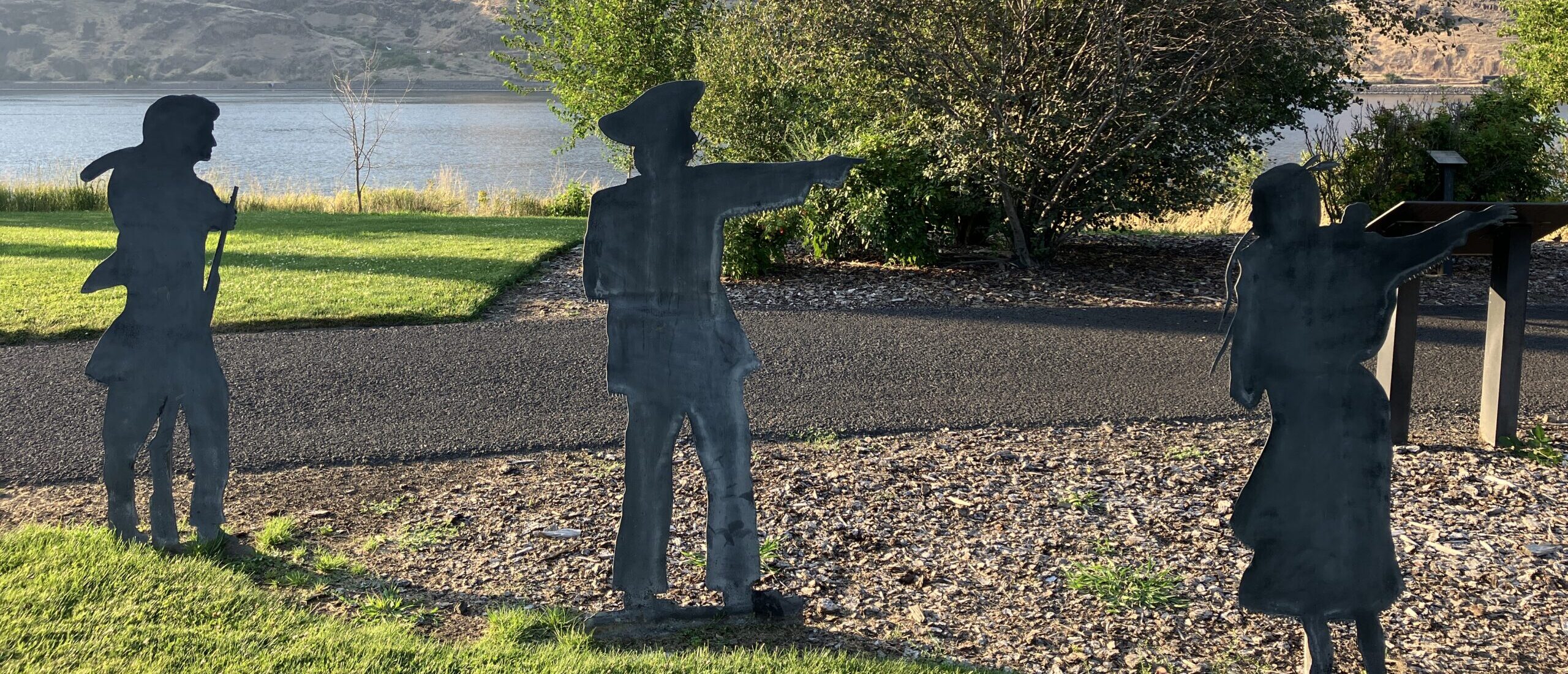
Where the Snake River turns west, Meriwether Lewis, William Clark, and Sacagawea stand in relief—as metal cutout sculptures. You will also find interpretive panels and a monument placed by the Washington State Society Daughters of the American Revolution on September 9, 1999.
This trip concludes in the Clarkston-Lewiston Valley where you will find food, lodging, and several Lewis and Clark related attractions. If you have the time, check out another of our Trip Inspirations: the Lewiston-Clarkston Art Tour.
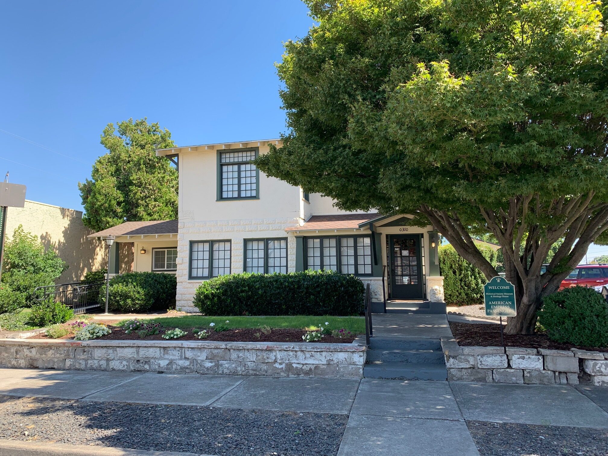
Nez Perce County Historical Society, 3rd Street, Lewiston, ID, USA
1 mi
View ListingOur bi-weekly newsletter provides news, history, and information for those interested in traveling along along the Lewis & Clark Trail.


