Search Results for 25550
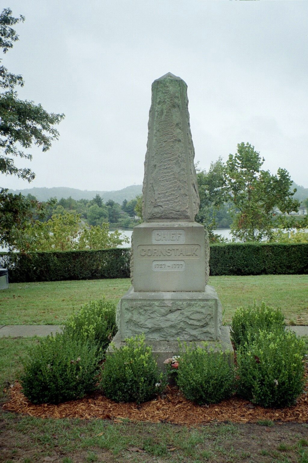
Chief Cornstalk’s Grave
Come see the grave of Hokoleskwa, or Chief Cornstalk, a Mekoche Shawnee chieftain and war leader, master strategist, and impressive orator. He organized the various Ohio tribes in their resistance to British and Colonial expansion,…
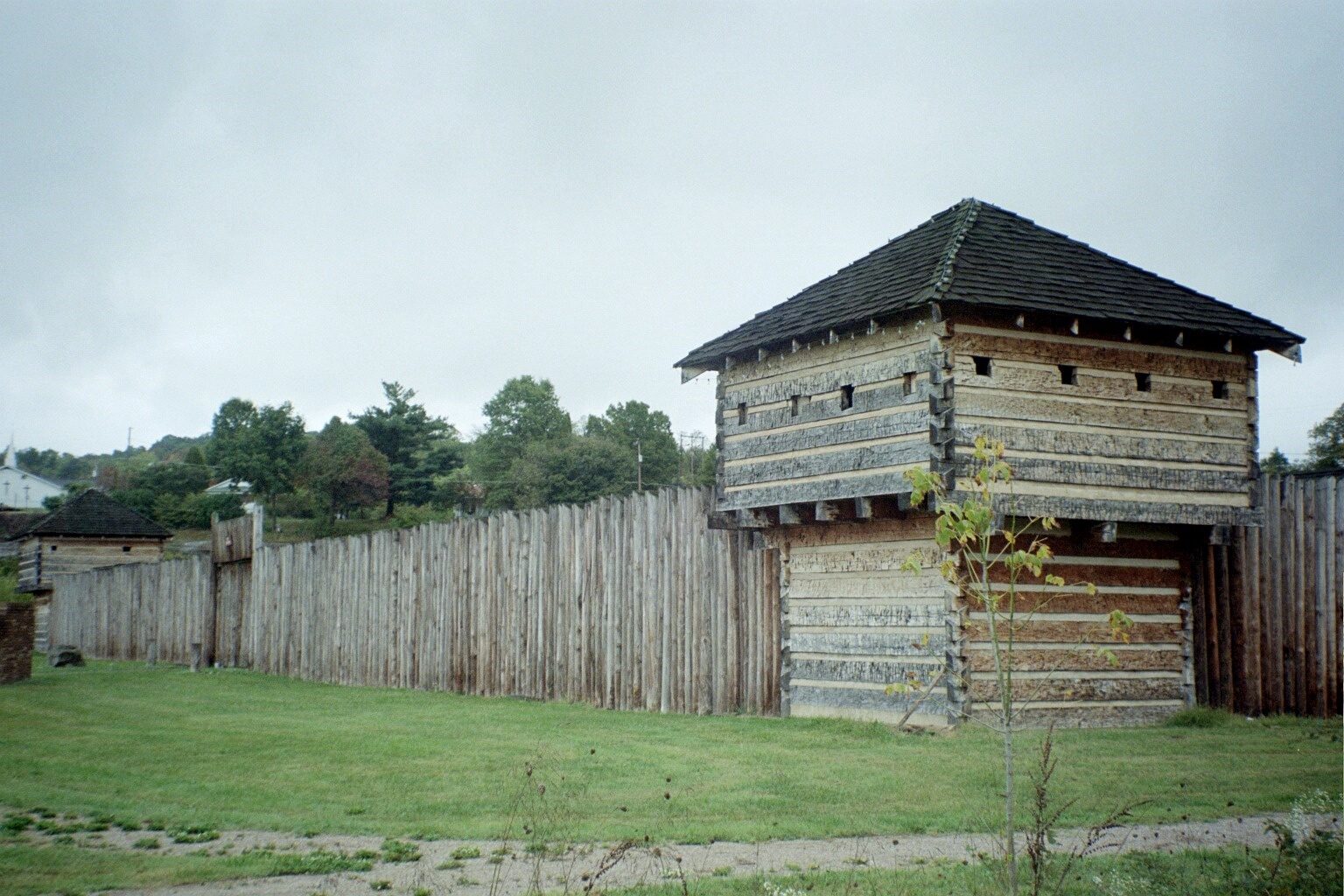
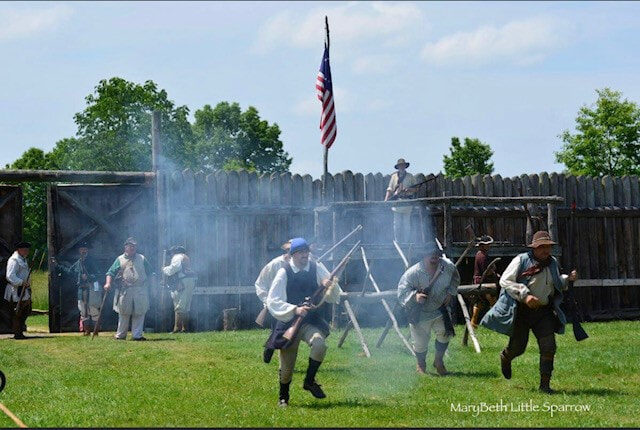
Fort Randolph
Step back in time with a visit to Fort Randolph, a modern day reproduction of an American colonial-era fort! In 1776, Captain Matthew Arbuckle marched a Virginia force to the confluence of the Great Kanawha…
All Gallery Images
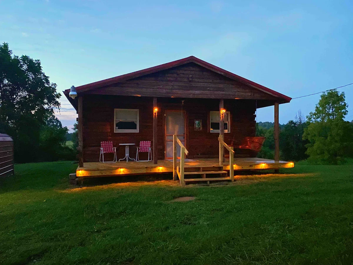
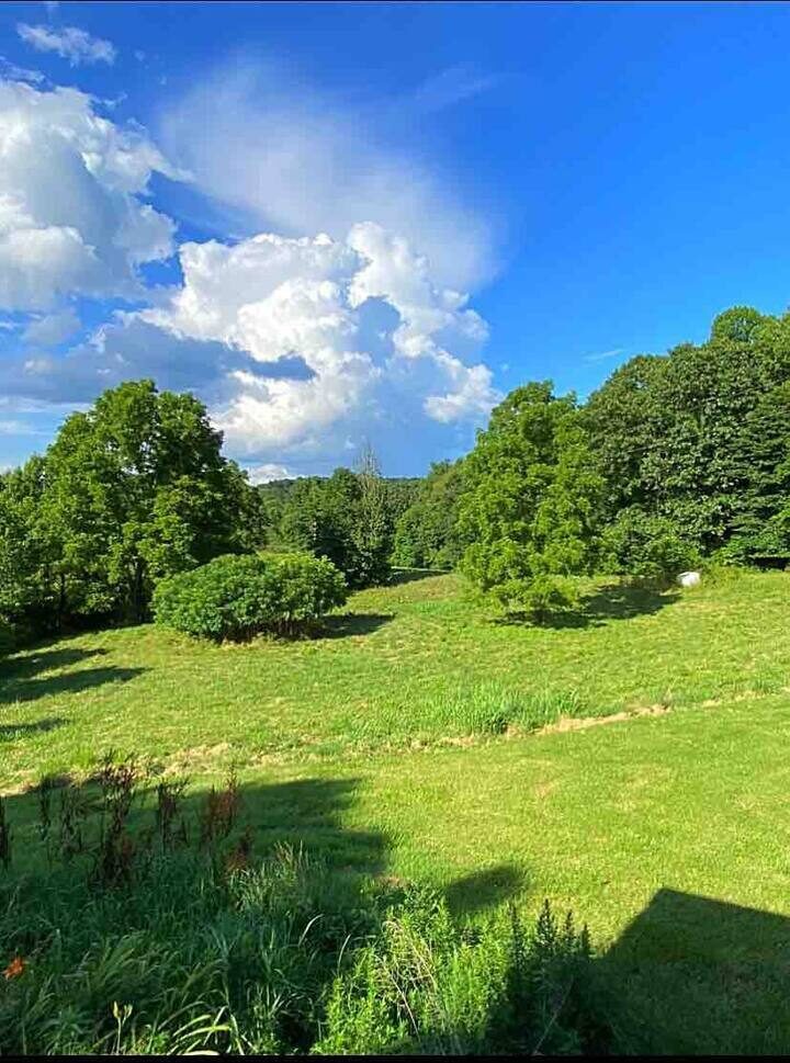
Frazier’s Cabin AirBnb
Complete privacy! Escape from stress to this quaint, little, rustic cabin on 3.6 acres. A peaceful setting with apple trees, blackberries and beautiful country views! Wake up to deer and other wildlife just outside your…
All Gallery Images
Kanawha River Campground
Need a campground to pitch your tents in while visiting Point Pleasant? The Kanawha River Campground is for you! The Kanawha River Campground is located less than 10 miles from downtown Point Pleasant on the beautiful…
All Gallery Images

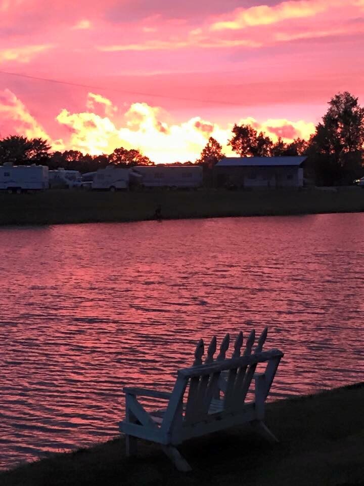
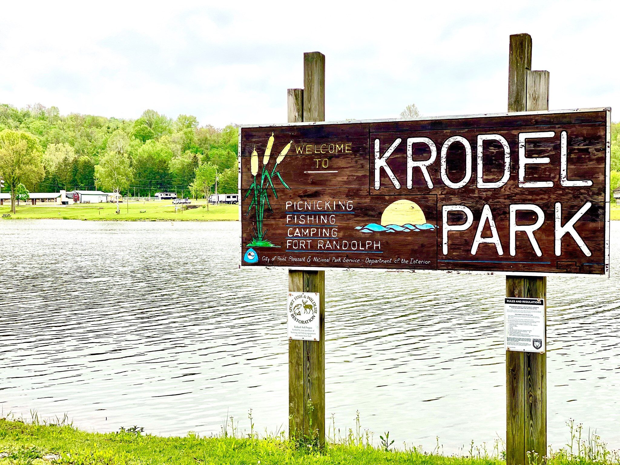
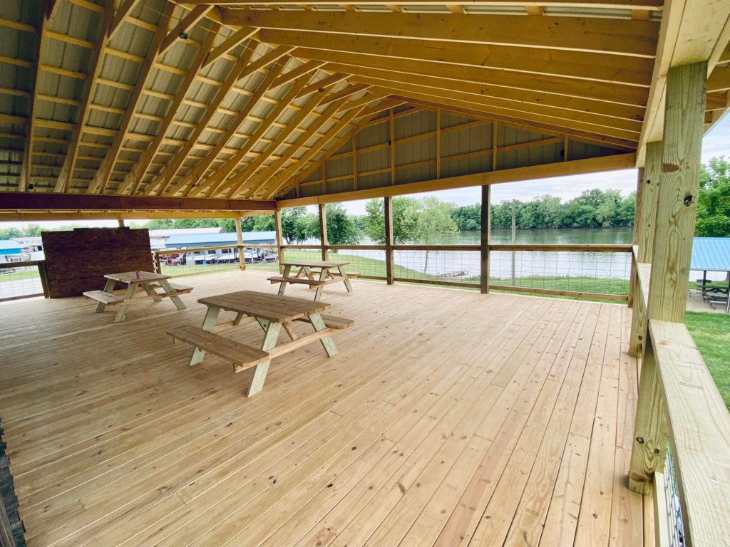
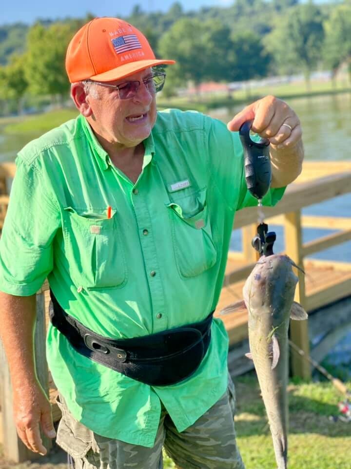
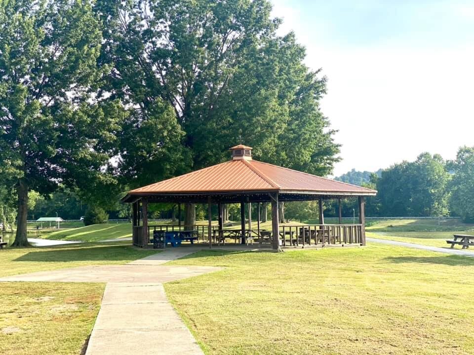
Krodel Park Campground
Owned and managed by the City of Point Pleasant, Krodel Park is within easy walking or biking distance to our downtown attractions, so come visit! Krodel Park is both the City of Point Pleasant’s largest…
All Gallery Images
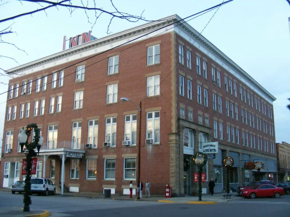
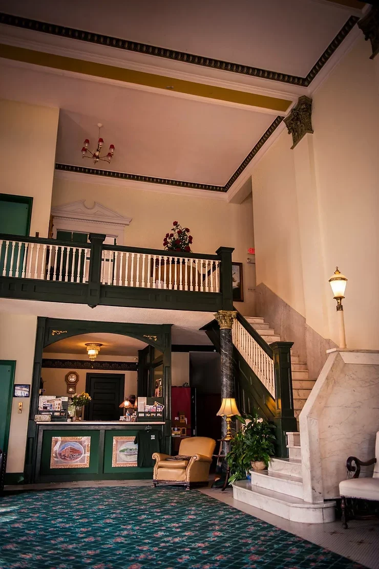
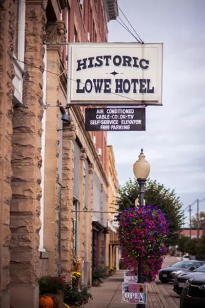
Lowe Hotel
Visiting Point Pleasant, the home of the legendary Mothman? Stay at the historic Lowe Hotel! Located in the heart of the Point Pleasant Historic District at the corner of Fourth and Main, this grand hotel…
All Gallery Images
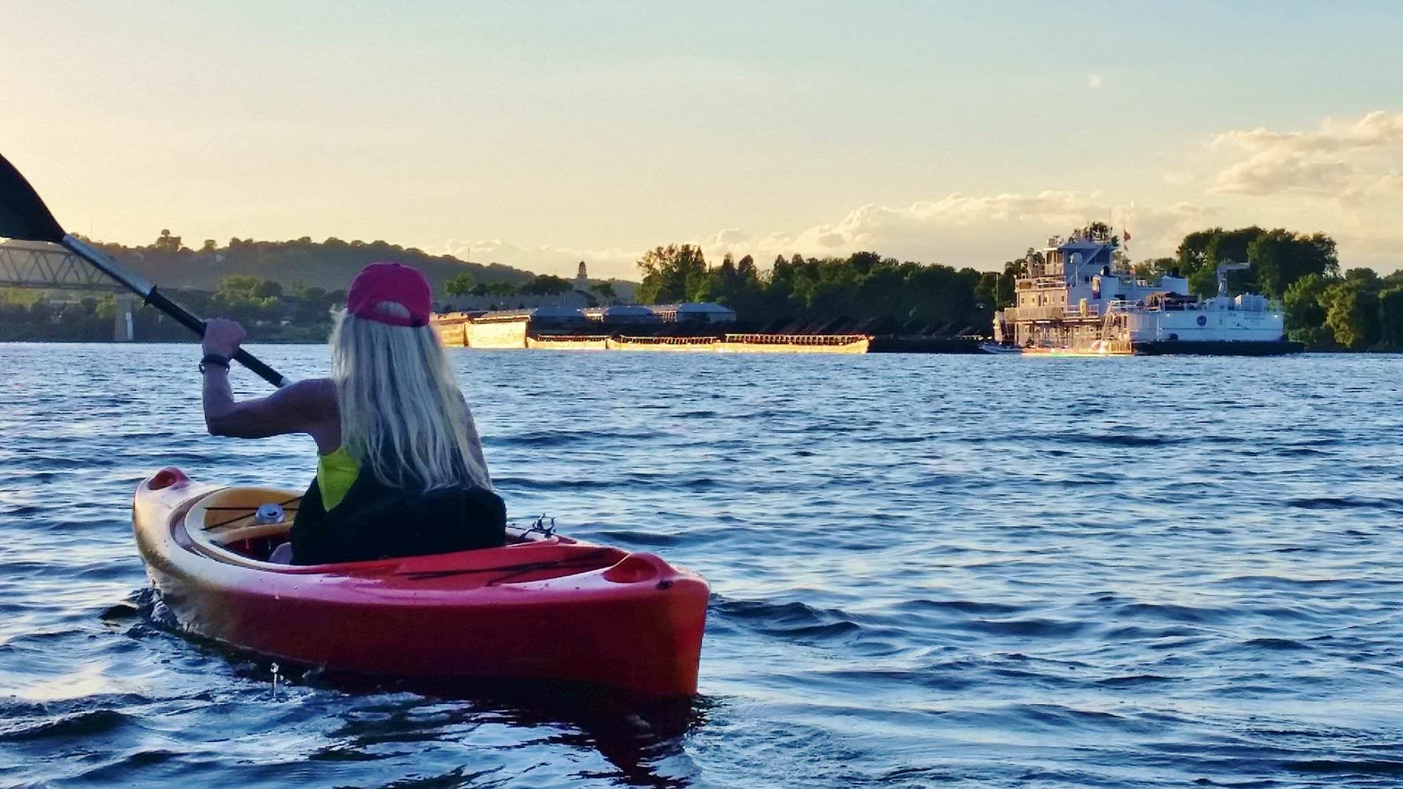
Lower Kanawha River Kayak Trail
The Lower Kanawha River Kayak Trail is a flatwater recreational trail that spans the entire 31-mile length of the river’s lower pool, from the Winfield Dam to the river’s mouth in Point Pleasant. Kayak access…
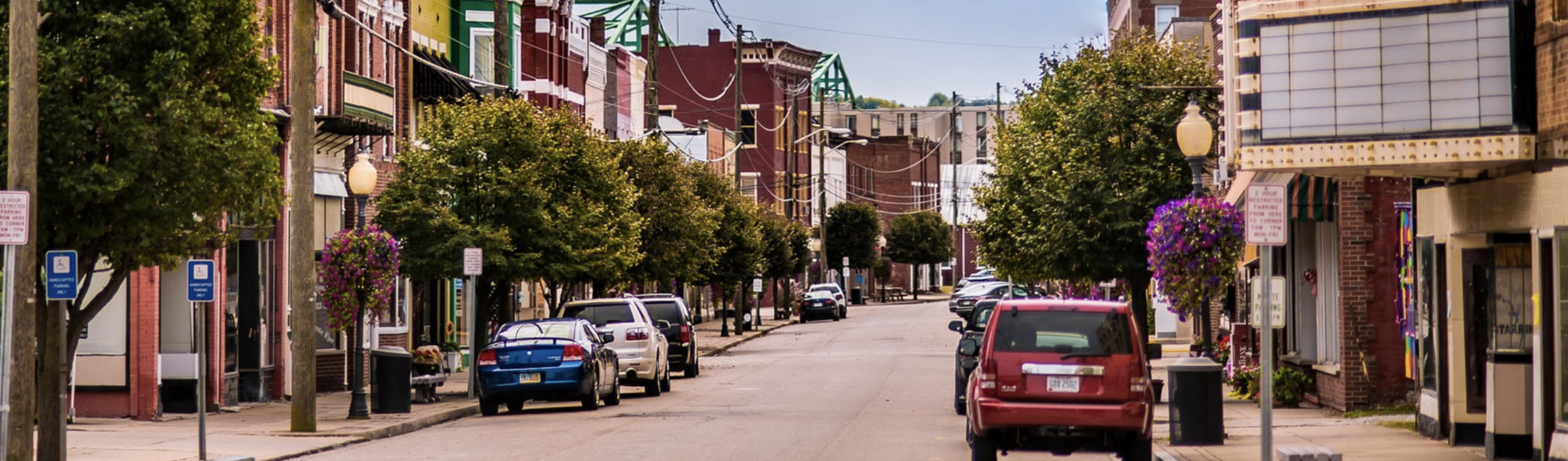
Main Street Point Pleasant
Main Street Point Pleasant is part of a national network of more than 1,200 neighborhoods and communities who share both a commitment to creating high-quality places and to building stronger communities through preservation-based economic development.…
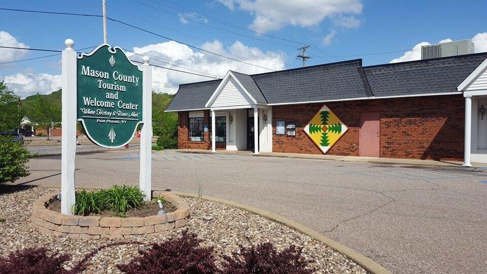
Mason County Tourism Center
The Mason County Convention & Visitors Bureau (CVB) is a federally designated 501(c)3 non-profit organization that is the most important link between local businesses and visitors to Mason County. One of the CVB’s most important…
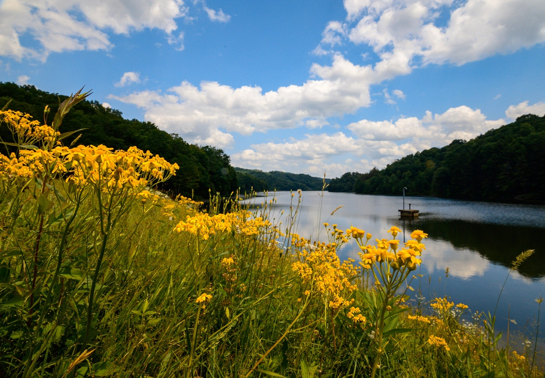
McClintic Wildlife Management Area
The Clifton F. McClintic Wildlife Management Area, known locally as “the TNT area“, is a 3,655-acre area that ranges across farmland, brushland, wetland, and mixed hardwood forests in the lowlands of the valley of the Ohio River. Game traditionally…
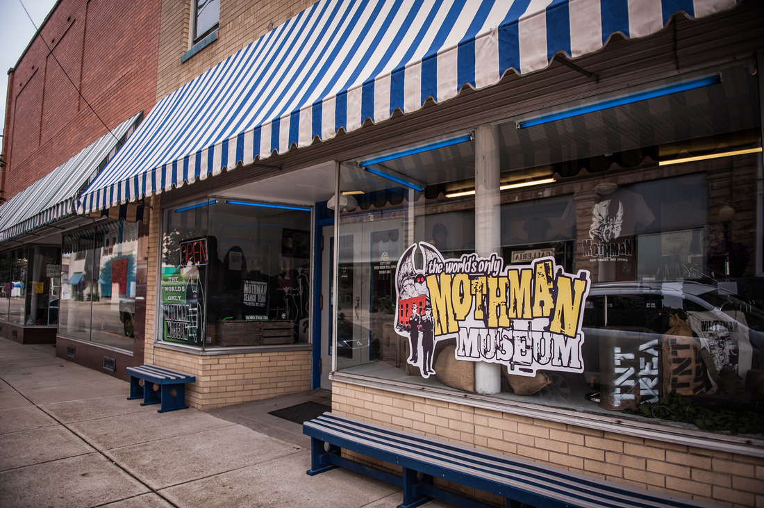
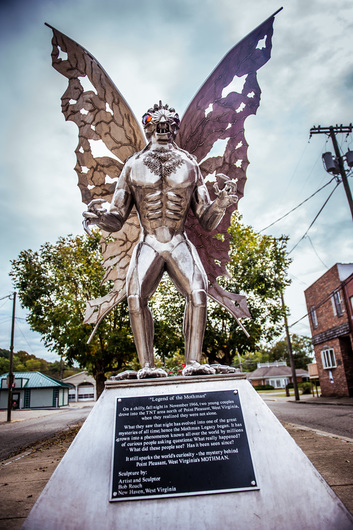
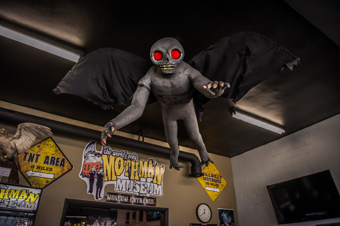
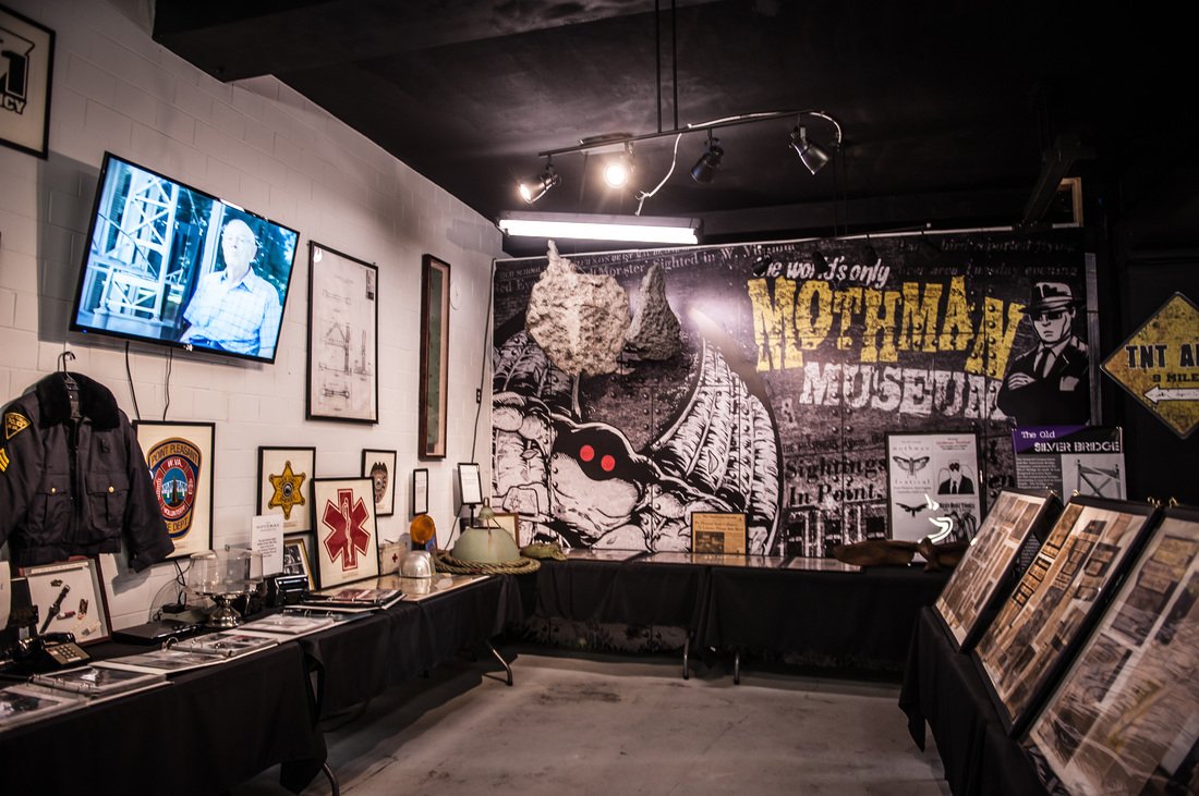
Mothman Museum
The story of Mothman brings countless regional tourists to the area every year, usually culminating in September’s festival. Because of all the stories, a museum dedicated to West Virginia’s favorite Cryptid was opened. At the…
All Gallery Images