
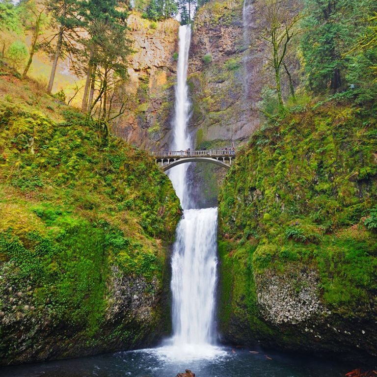
Oregon’s tallest waterfall (620 ft.) is just 30 minutes east of Portland and 30 minutes west of Hood River. Offering scenic splendor and a gateway to the Gorge’s Waterfall Corridor, the waterfall is the most visited outdoor attraction in the Pacific Northwest due to its constant flow and proximity to the Historic Columbia River Highway. The falls are fed by rainwater and snowmelt, and its steady stream runs year-round, making it a four-seasons attraction. The highest volume comes in winter and spring, and the waterfall sometimes freezes partially at the height of winter.
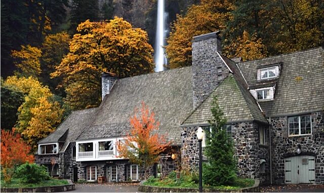
Located at the base of the waterfall, Multnomah Falls Lodge built in 1925 has excellent views and is home to a restaurant, gift shop, espresso bar and U.S. Forest Service interpretive center.
The I-84 parking lot is the only way to access to the falls; parking or stopping is not allowed on the historic highway. It is recommended visiting at off-times, ie. early morning or mid week. You can also take a guided tour or a shuttle.
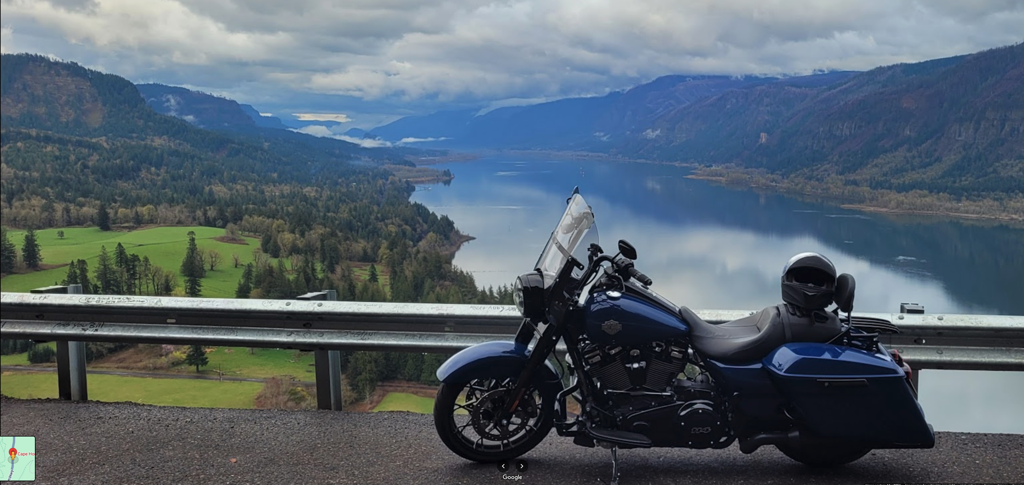
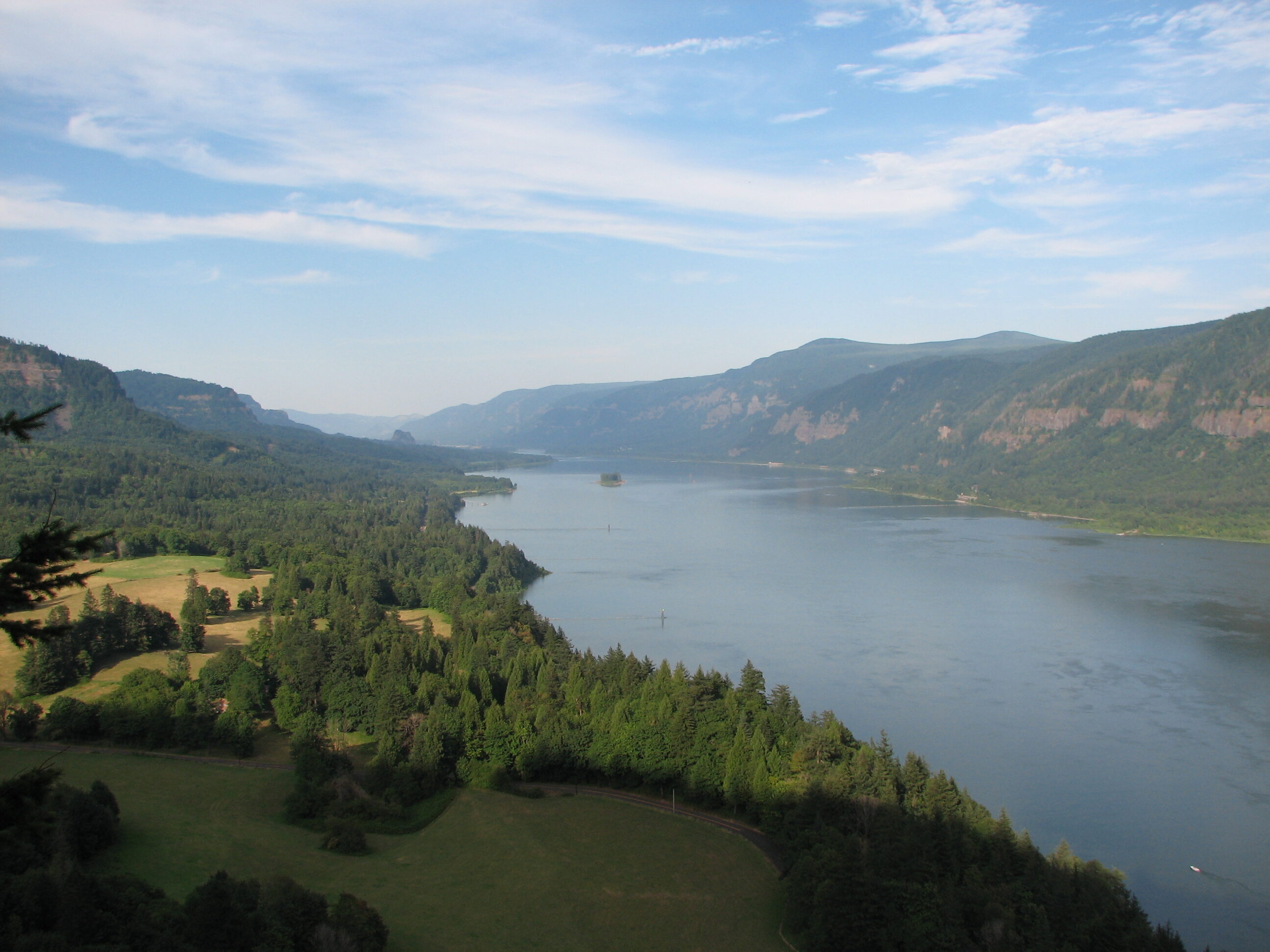
Cape Horn lookout, Evergreen Highway, Washougal, WA, USA
Distance: 3.75 mi (straight line)
Beacon Rock State Park, Washington 14, Stevenson, WA, USA
Distance: 5.80 mi (straight line)
Beacon Rock State Park, Washington 14, Stevenson, WA, USA
Distance: 5.80 mi (straight line)
Beacon Rock Trailhead, Beacon Rock Trail, Stevenson, WA, USA
Distance: 5.80 mi (straight line)
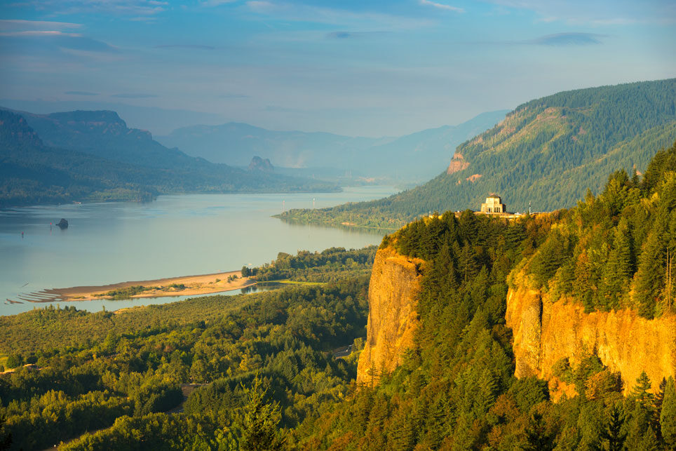
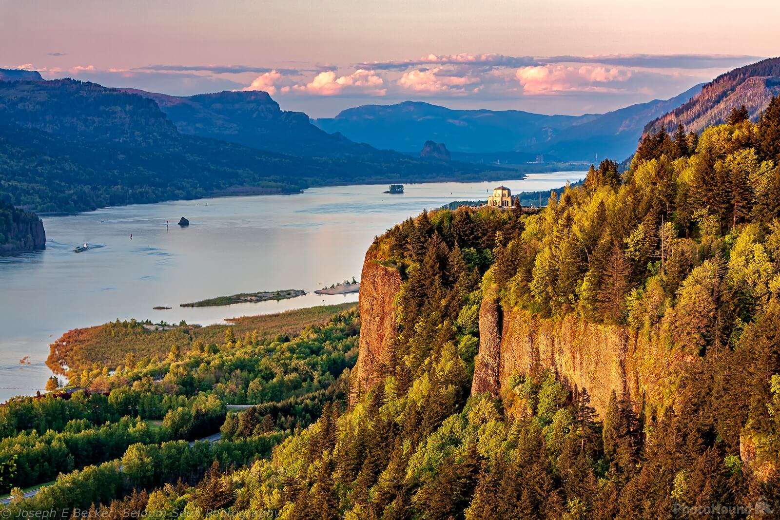
Vista House, Historic Columbia River Highway, Corbett, OR, USA
Distance: 6.68 mi (straight line)
Portland Women's Forum State Scenic Viewpoint, Historic Columbia River Highway, Corbett, OR, USA
Distance: 7.57 mi (straight line)
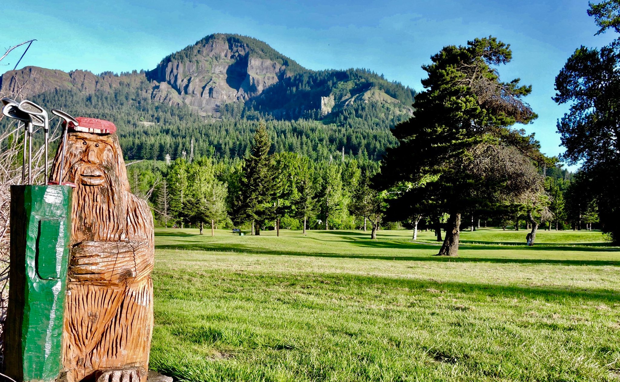
Beacon Rock Golf Course Restaurant, Grenia Road, North Bonneville, WA, USA
Distance: 7.69 mi (straight line)
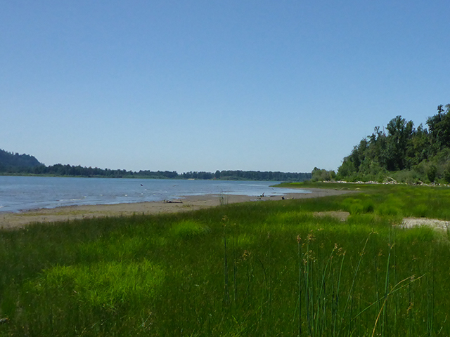
Steigerwald Lake National Wildlife Refuge. Washington, Lewis and Clark Highway, Washougal, WA, USA
Distance: 9.18 mi (straight line)
Reed Island State Park, Washougal, WA, USA
Distance: 9.27 mi (straight line)
J3R4+MH Bonneville, OR, USA
Distance: 9.50 mi (straight line)
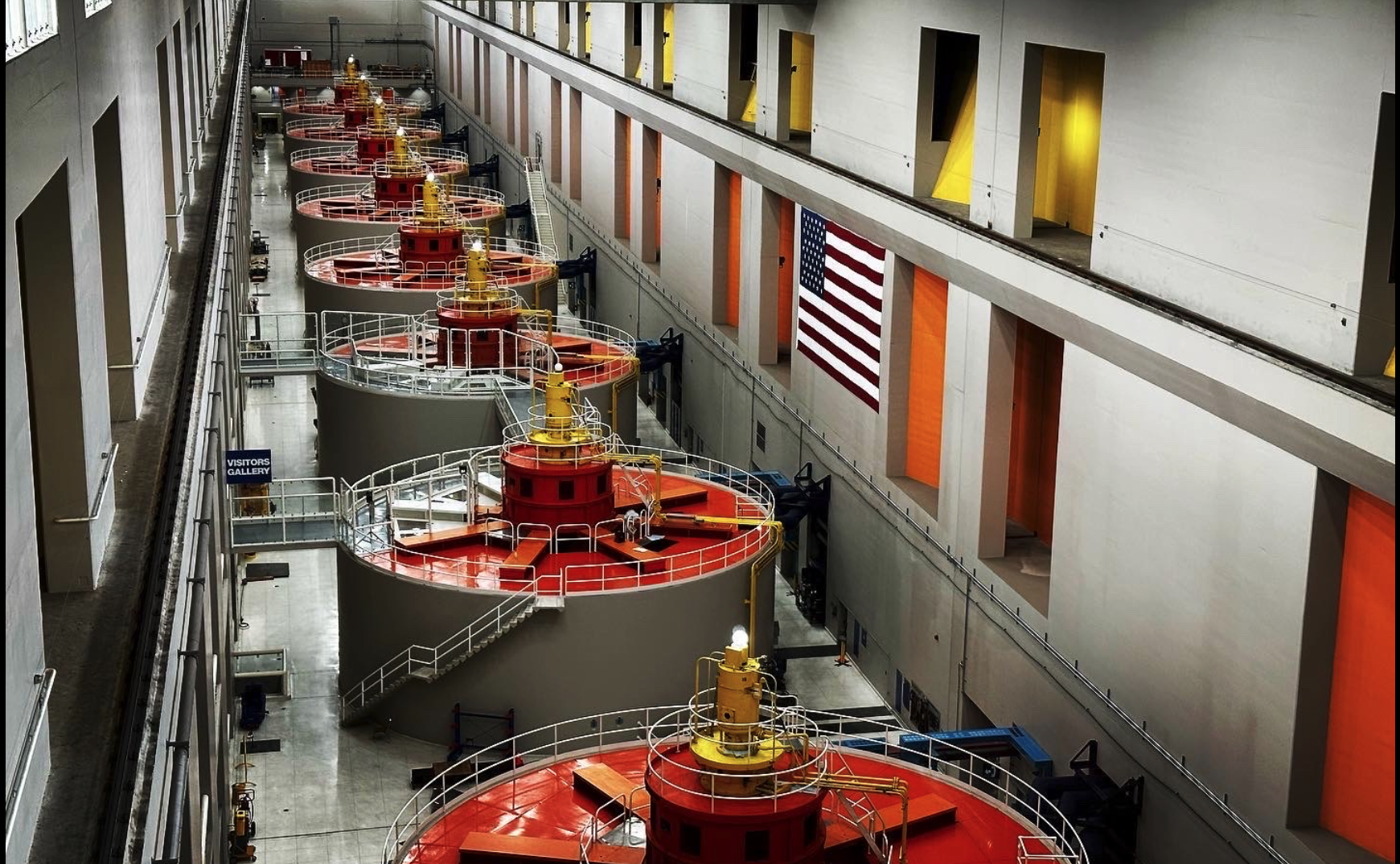
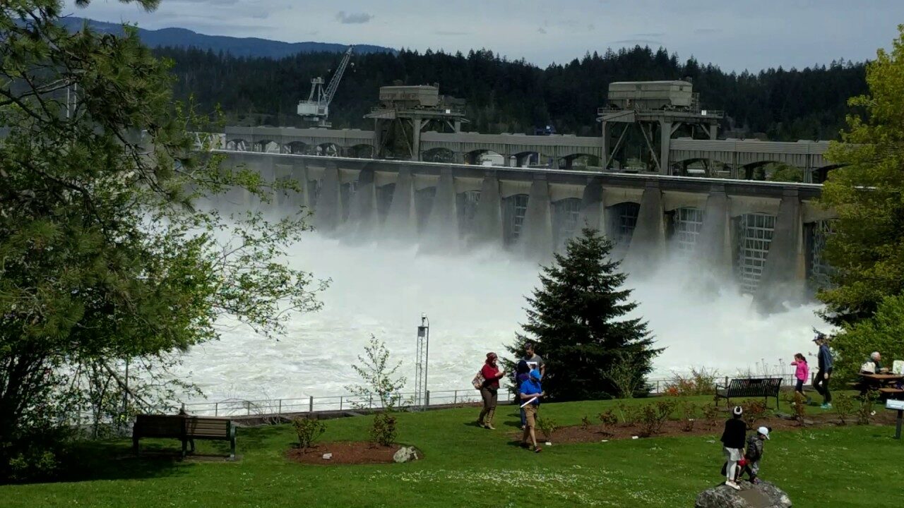
Washington Shore Visitor Center, Dam Rd, North Bonneville, WA, USA
Distance: 10.05 mi (straight line)
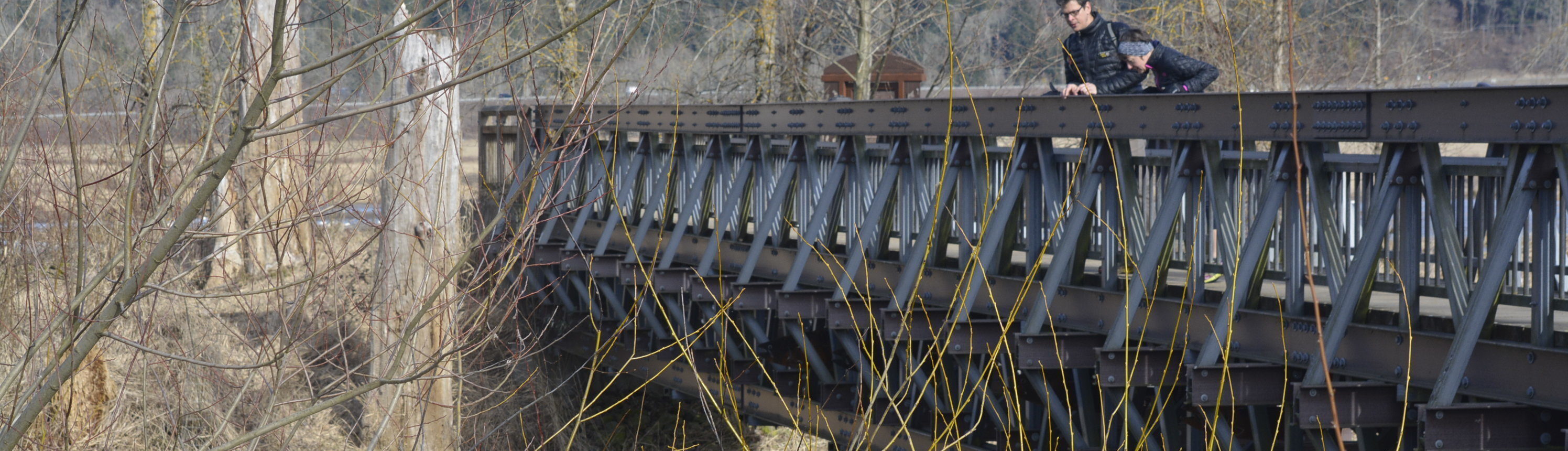
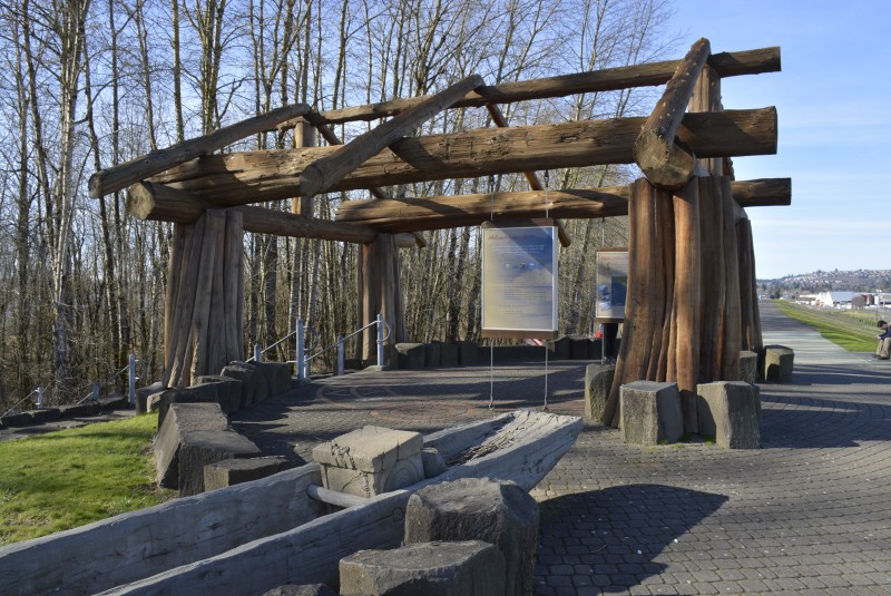
Captain William Clark Park Trail, Washougal, WA, USA
Distance: 10.51 mi (straight line)
Captain William Clark Park Trail, Washougal, WA, USA
Distance: 10.51 mi (straight line)
Captain William Clark Park Trail, Washougal, WA, USA
Distance: 10.56 mi (straight line)
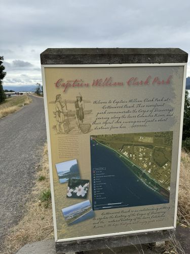
Captain William Clark Park, Index Street, Washougal, WA, USA
Distance: 10.80 mi (straight line)
Fort Rains, Washington, USA
Distance: 10.98 mi (straight line)
Our bi-weekly newsletter provides news, history, and information for those interested in traveling along along the Lewis & Clark Trail.


