Orofino-Weippe-Kamiah Loop
Triumph over the Mountains
“the pleasure I now felt in having tryumphed over the rocky Mountains and decending once more to a level and fertile country where there was every rational hope of finding a comfortable subsistence for myself and party can be more readily conceived than expressed, nor was the flattering prospect of the final success of the expedition less pleasuing.”
—Meriwether Lewis, September 22, 1805
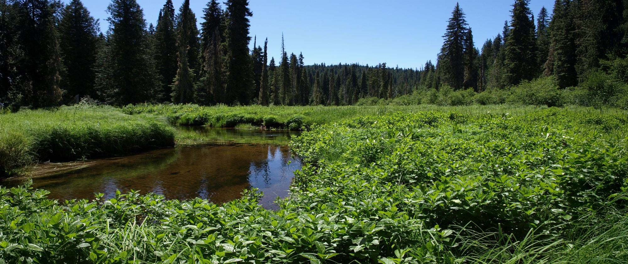
This trip takes you to several significant Expedition campsites in the foothills of the Bitterroot Mountains—from Canoe Camp on the Clearwater River, across the high camas meadows of Weippe Prairie, to the scenic Salmon Trout Camp on Eldorado Creek.
Note: Some of the road between Weippe and Musselshell Meadows is gravel as well as all of Road 500. Both are wide and well-maintained.
You may also like our L&C Travel Magazine!
“All the men are now able to work; but the greater number are very weak. To save them from hard labour, we have adopted the Indian method of burning out the canoes.”
—Sgt. Patrick Gass, October 1, 1805
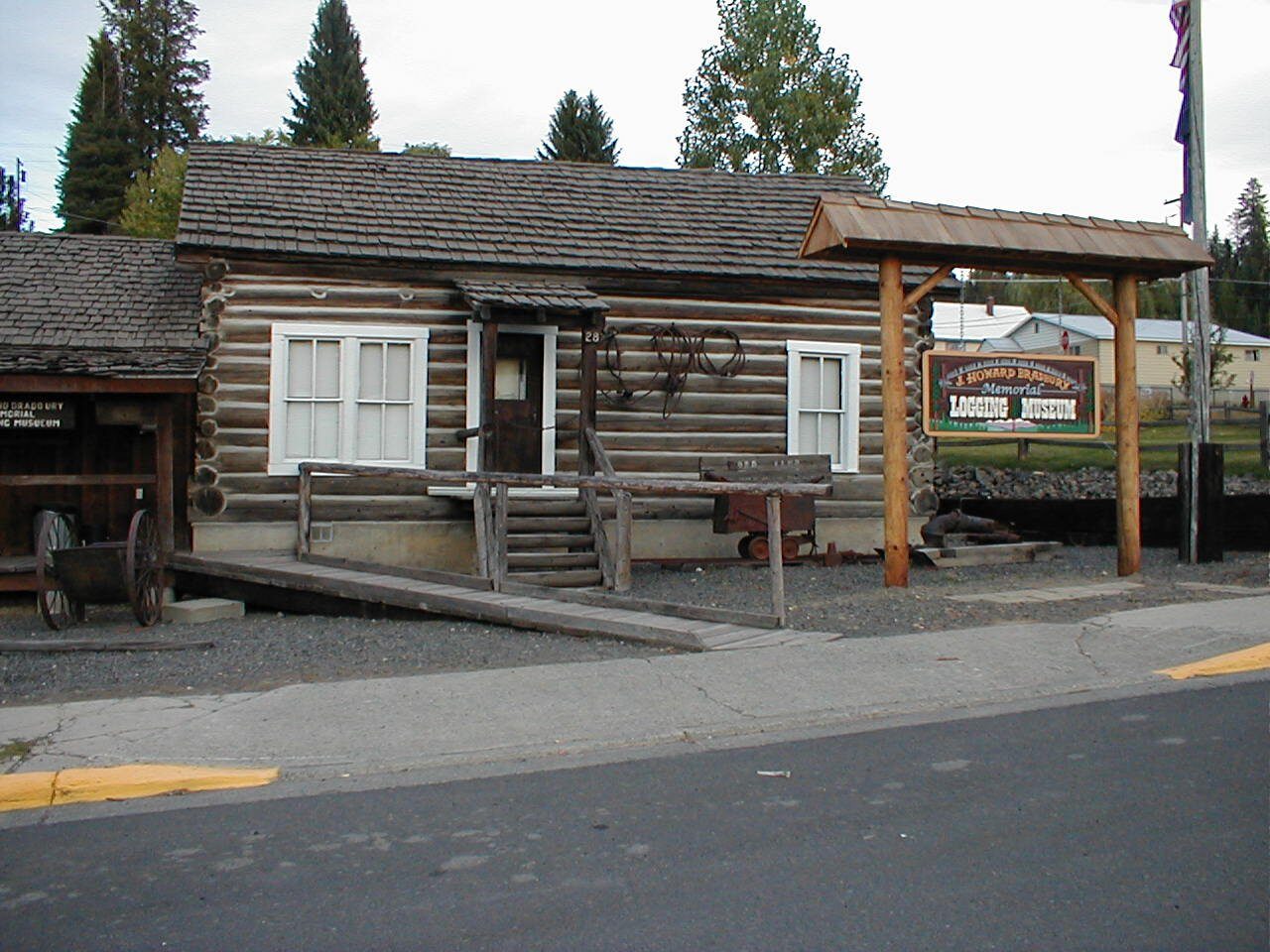
Clearwater Canoe Camp represents a turning point in the Lewis and Clark Expedition. They had finally crossed the complex mountain ranges of the Rocky Mountains and had found a navigable river to take them to the Pacific Ocean. Here, they made five dugout canoes from the large ponderosa pine trees which still grow in this area.
Today, Canoe Camp is managed by the Nez Perce National Historic Park and has a restroom, short interpretive trail, and a model dugout canoe. It’s a great place to stretch the legs and for most people, the only cell phone service between Lewiston and Kamiah.
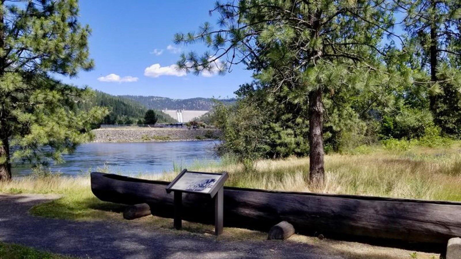
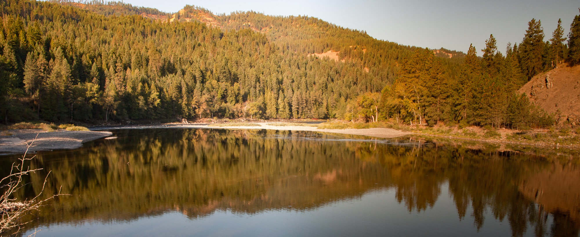
Across from Canoe Camp is the mouth of the North Fork Clearwater River. Dworshak Dam can be seen from Canoe Camp, and the dam site and reservoir behind it offer numerous recreational opportunities.
Read about the days at Canoe Camp at our educational website starting with September 25, 1805.
Dworshak Visitor Center, Viewpoint Road, Ahsahka, ID, USA
2 mi
View Listing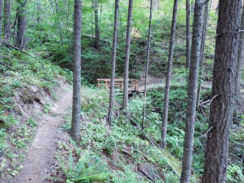
Nez Perce National Historical Park Visitor Center, U.S. 95, Lapwai, ID, USA
24 mi
View Listing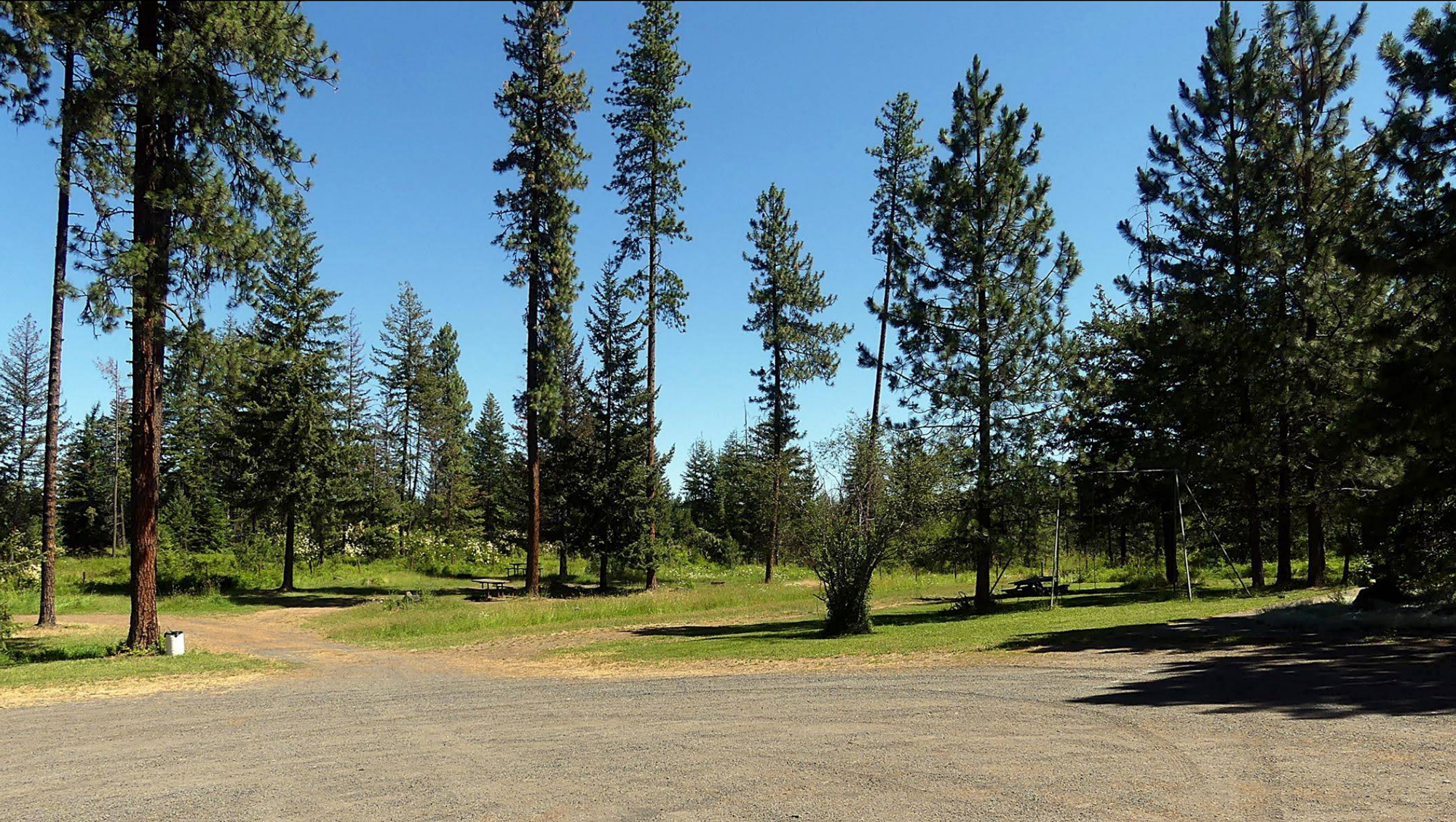
“we Set out and proceeded on the day warm we had a good road mostly plain but no water. Some Scattering pine timber. towards evening we came down on a fork of Columbia River and followed it down Some distance then went on a small prarie Island and Camped.”
—John Ordway, September 24, 1805
The small pioneer community of Fraser maintains this lovely park located near the edge of the Weippe Prairie. There is a large picnic shelter, restrooms, and a handful of campsites. Panels show the Nez Perce trail taken by the Lewis and Clark Expedition in September 1805 when they descended from the Weippe villages to the Clearwater River. The old trail passed right through this park!
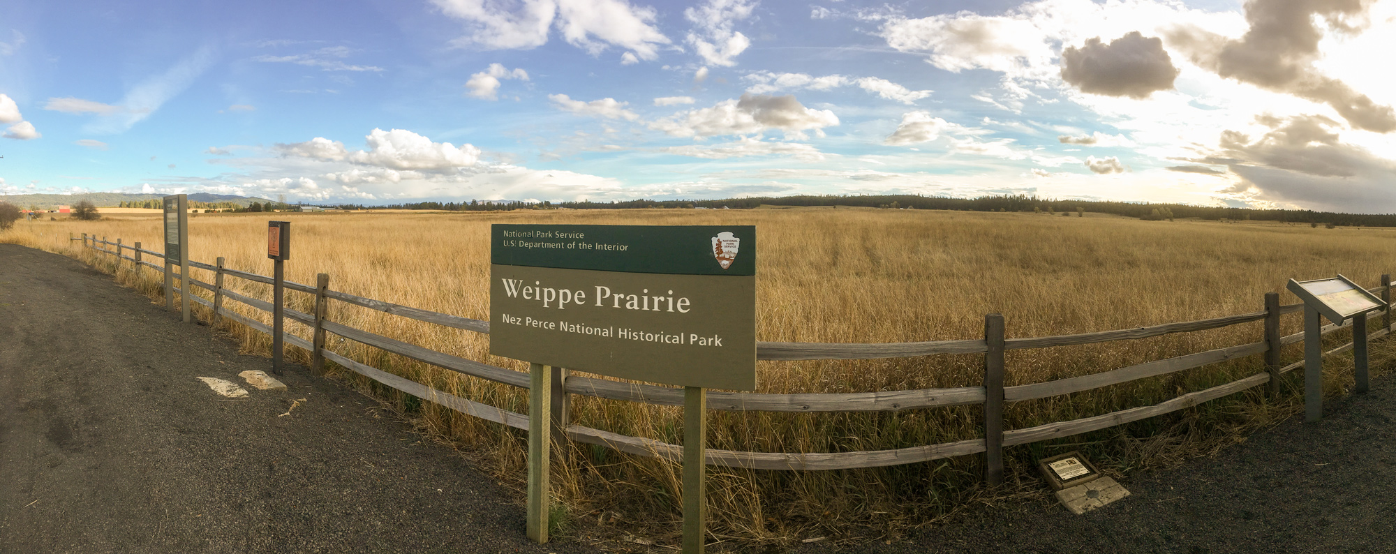
“decended the mountain to a leavel pine Countrey proceeded on through a butifull Countrey for three miles to a Small Plain in which I found maney Indian lodges, at the distance of 1 mile from the lodges I met 3 boys . . . . gave them Small pieces of ribin & Sent them forward to the village”
—William Clark, September 20, 1805
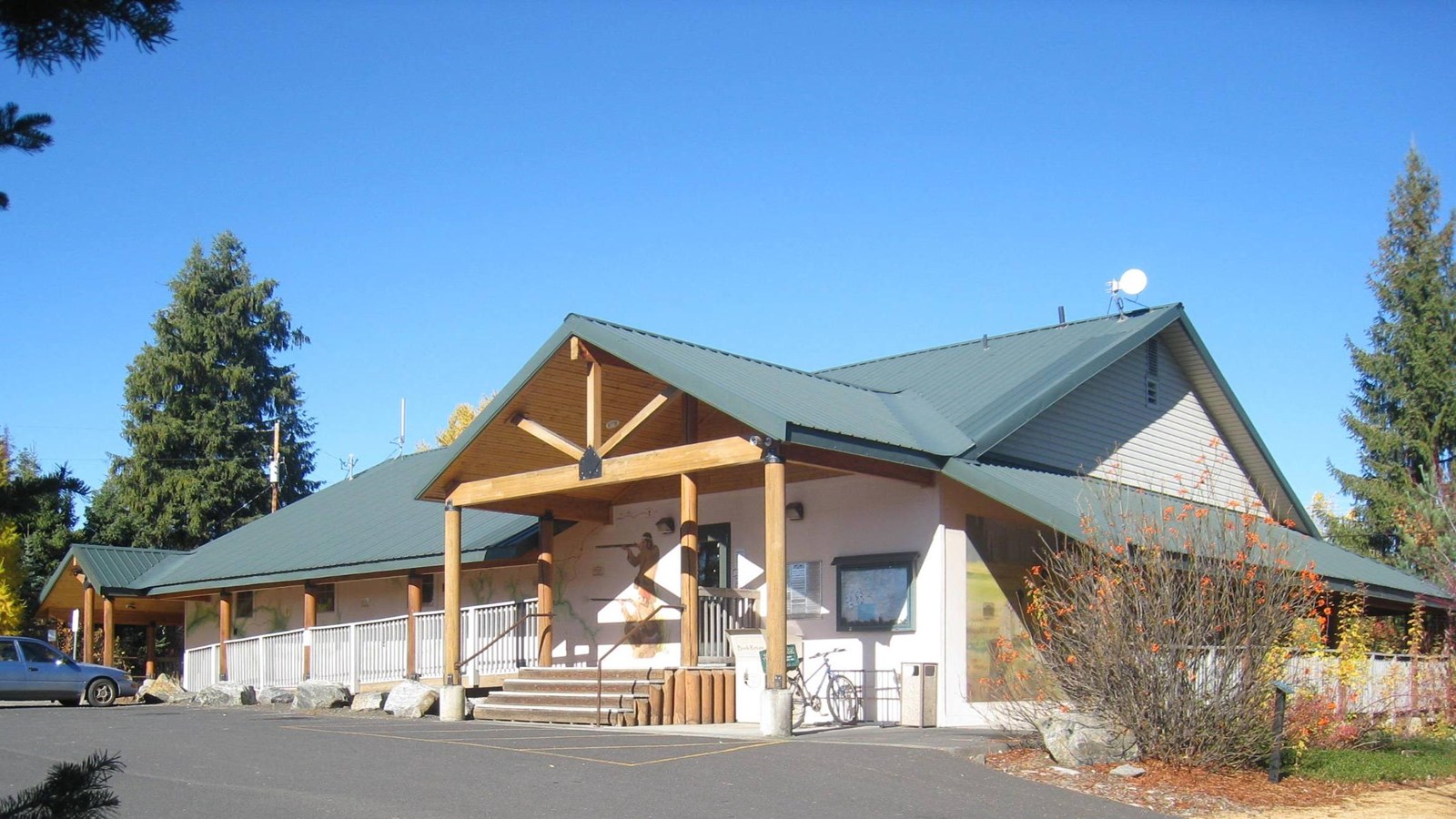
It was at Weippe Prairie that the Lewis and Clark Expedition first met the Nez Perce people, starting a friendship critical to the success of the Expedition. The Weippe Discovery Center and living landscape tell this incredible story at the actual place where it happened.
Inside you will see Nez Perce artifacts depicting their life in the region, replicas of tools used by the Expedition, and life-size representations of Idaho’s wildlife. Inside and out, you will see numerous interpretive paintings and murals of the area’s history. Growing outside are many of the plant varieties collected and described by Meriwether Lewis. Small signs help you to learn their names and recognize them along the Clearwater and Lolo portions of the Historic Lewis and Clark Trail.
Learn more at our educational website: Weippe Prairie Villages.
“the quawmash is now in blume and from the colour of its bloom at a short distance it resembles lakes of fine clear water, so complete is this deseption that on first sight I could have swoarn it was water.”
—Meriwether Lewis, June 12, 1806
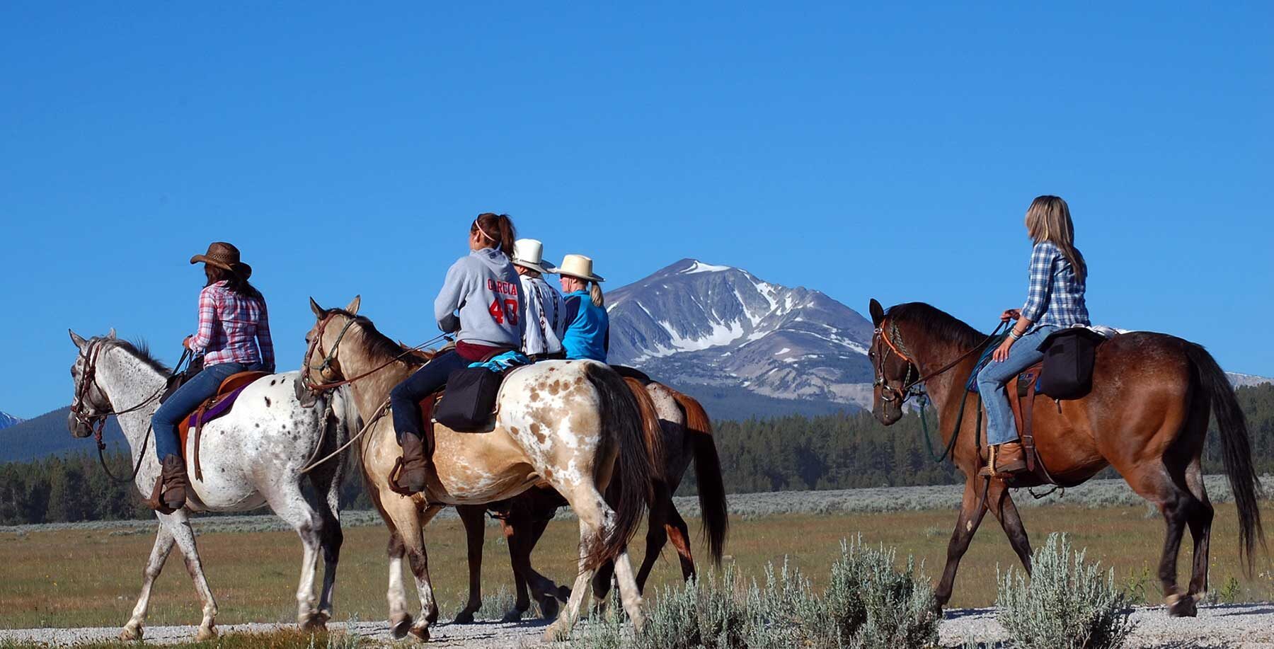
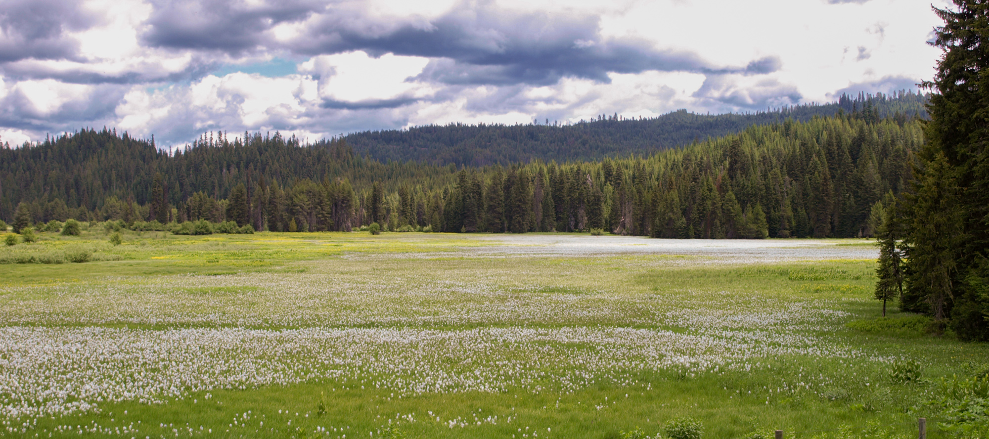
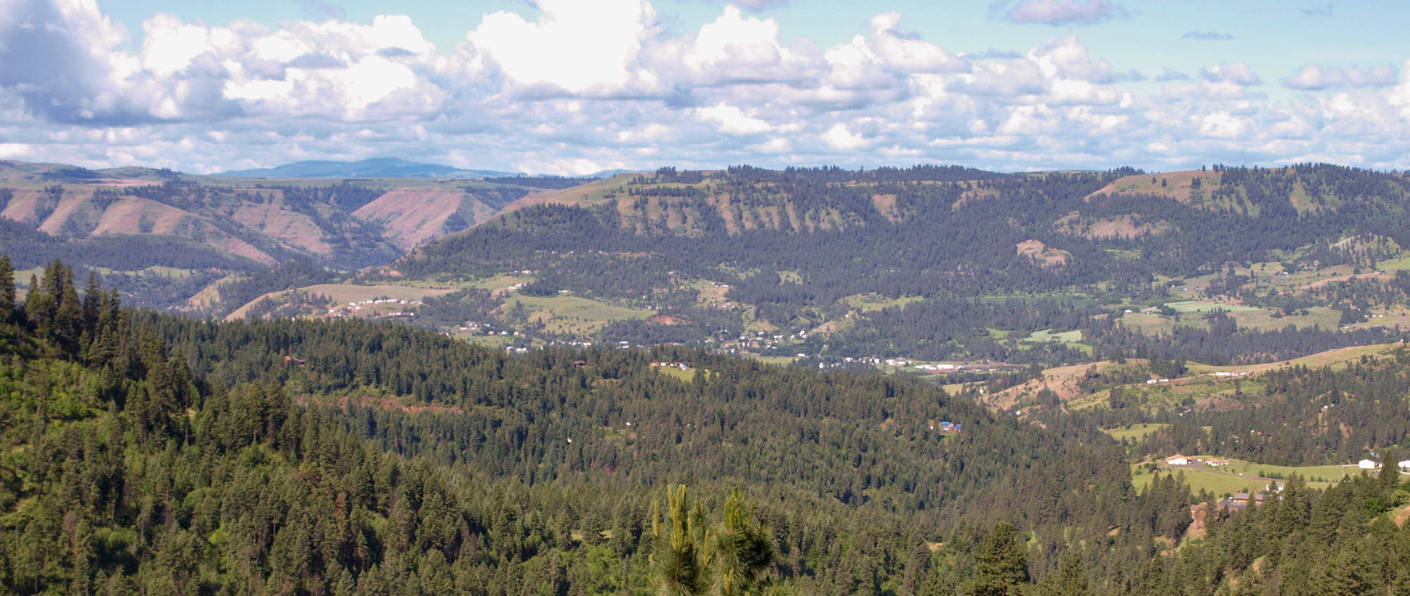
Musselshell Meadows is a traditional Nez Perce camp and root-digging area. During the War of 1877, the non-treaty Nez Perce camped here on their flight to freedom. Today, a U.S. Forest Service trail—the Nez Perce/Nee-me-poo Trail—leaves the meadow and climbs into the Bitterroot Mountains in honor of the original “Road to the Buffalo”.
The meadow hosts abundant wildlife and an annual crop of blue camas blooms. Views of the meadows and interpretive signs can be accessed from two places: Road 535 and Road 100.
“the fallen timber in addition to the slippry roads made our march slow and extreemly laborious on our horses. the country is exceedingly thickly timbered with long leafed pine, some pitch pine, larch, white pine, white cedar or arborvita of large size, and a variety of firs.”
—Meriwether Lewis, June 15, 1806
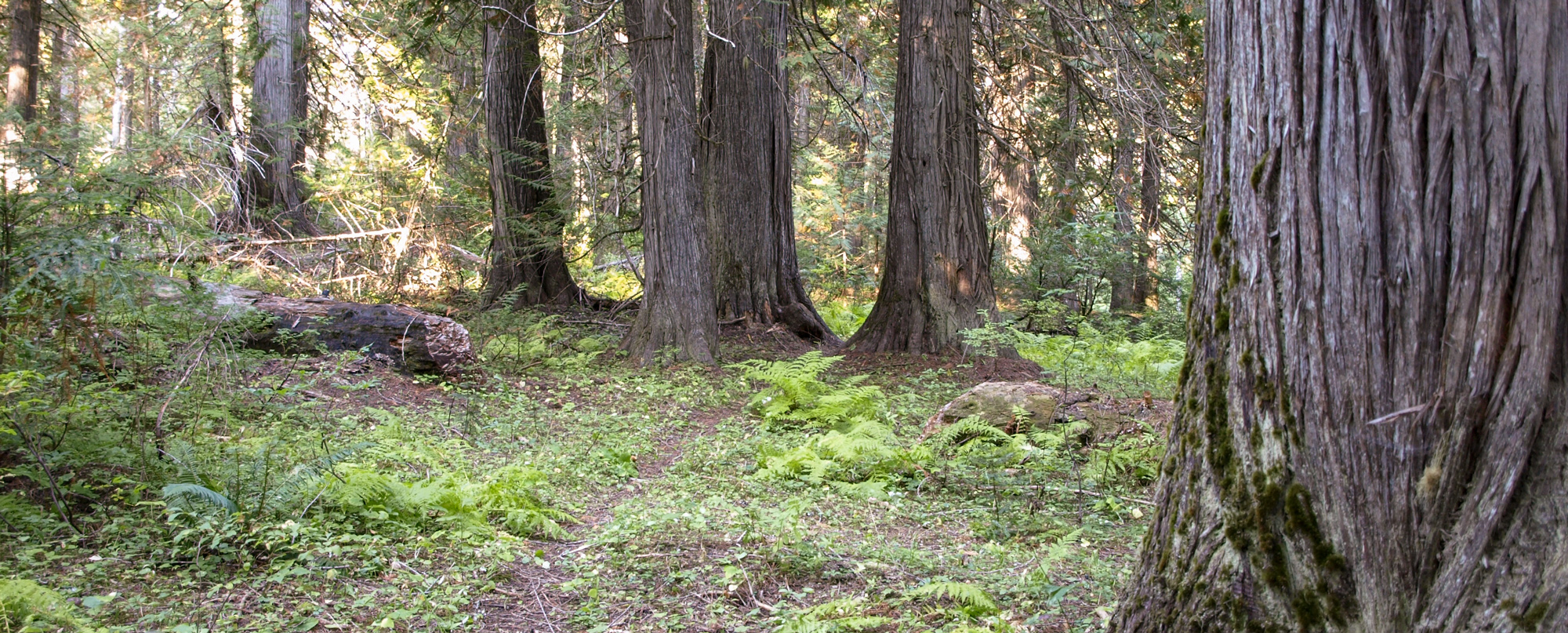
The drive from Musselshell Meadows follows the remote Lolo Creek on paved Road 100. Unsigned Bradford Bridge crosses Eldorado Creek just above its mouth at Lolo Creek. There, you will find the western trailhead for the Lewis and Clark Trail #25. The Forest Service built this trail to commemorate the Expedition, and it roughly follows the ridgeline trails they used in 1805 and 1806.
Walking just the first portion of the Lewis and Clark Trail will give one a good idea of the conditions the expedition encountered. Fallen trees and sometime brush still plague the trail and maintenance cannot be assured.
Near Bradford Bridge is a small, primitive campground and several “dispersed” camping areas popular with ATVers. Road 500—also known as the Lolo Motorway—starts or ends here.
“after dinner we proceeded on to Collin’s Creek and encamped in a pleasant situation at the upper part of the meadows”
—Meriwether Lewis, June 18, 1806
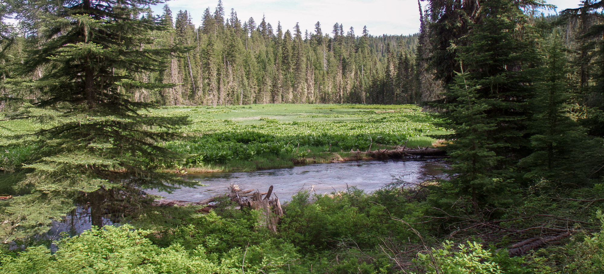
A relatively brief side-trip up Road 500 takes you to a couple of beautiful campsites used by the Expedition in 1805 and 1806. Both are small, mountain prairies that have remained essentially unchanged. However, Eldorado Creek is no longer known as a trout stream as it was in June 1806:
“This evening Several Salmon trout were Seen in the Creek, they hid themselves under the banks of the Creek which jutted over in Such a manner as to secure them from the Stroke of our giggs nets and spears which were made for the purpose of taking those Salmon trout.”
—William Clark, June 19, 1806
These two Lewis and Clark camp sites are ½ mile apart and accessible via the western-most end of the Lolo Motorway—a segment built to modern Forest Service standards to accommodate past logging nearby. If desired, you can skip this stop and avoid the 16 (two-way) miles of gravel road.
Learn more about the Eldorado Creek camps and Pheasant Camp at our educational website: Eldorado Creek.
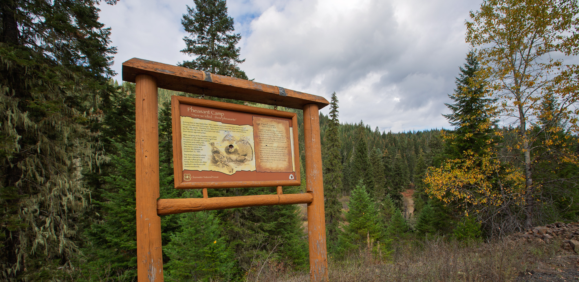
“we killed a few Pheasants, and I killd a prarie woolf which together with the ballance of our horse beef and some crawfish which we obtained in the creek enabled us to make one more hearty meal, not knowing where the next was to be found.”
—Meriwether Lewis, September 21, 1805
“In the afternoon four hunters came in with the meat of five more deer, and a bear. An Indian came with them, who had been part of the way over the mountains; but found the road too bad and the snow too deep to cross; so we are obliged to remain where we are sometime longer.”
—Patrick Gass, June 5, 1806
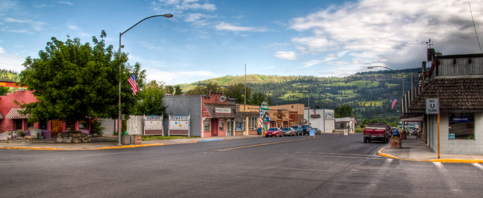
Returning to the pavement of Road 100, this Inspiration Trip next gently rises above the Lolo Creek Gorge, traverses the scenic Glenwood area, and then descends into the Kamiah valley.
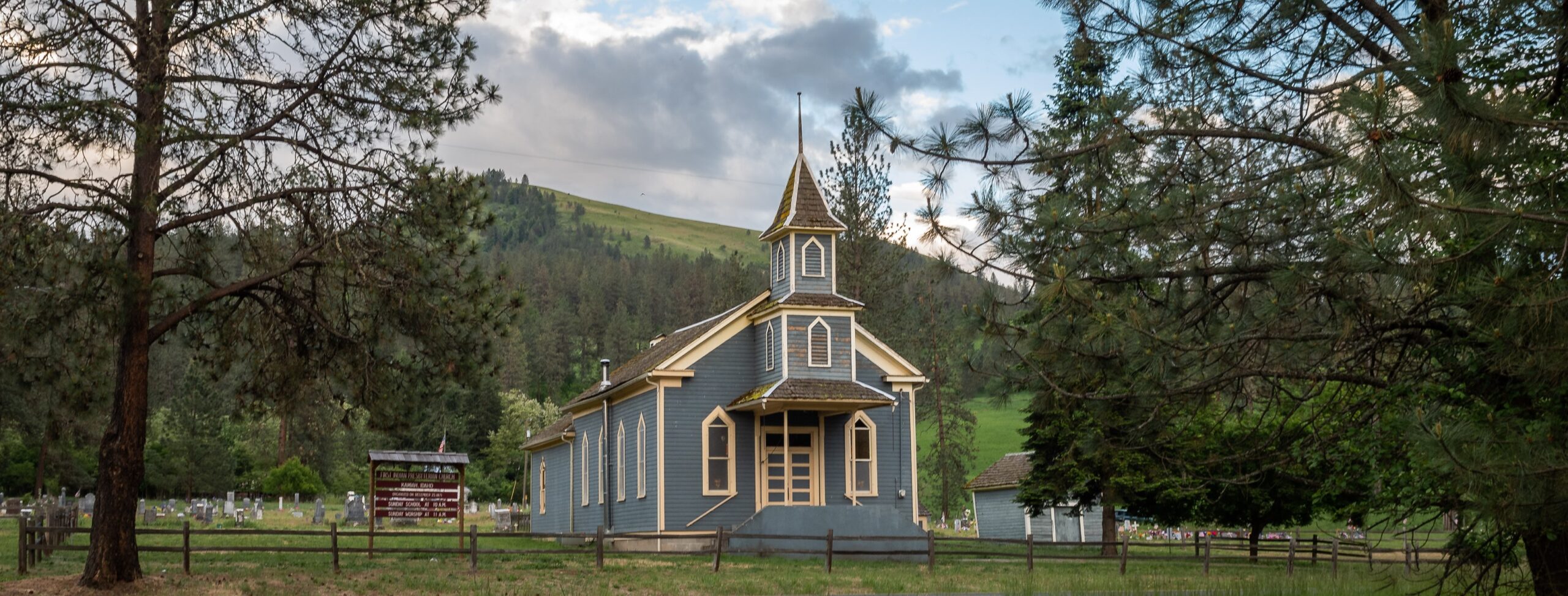
First Indian Presbyterian Church, Church Canyon Rd, Kamiah, ID, USA
2 mi
View Listing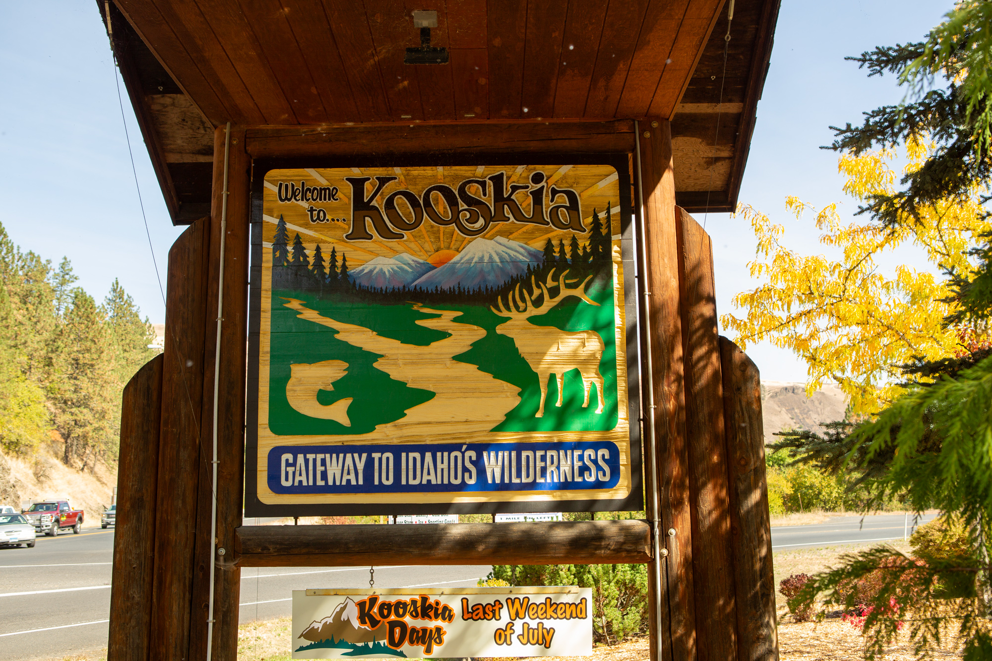
“we did not arrive at the Camp of the Twisted harebut oppost, untill half past 11 oClock P M. found at this Camp five Squars & 3 Children. my guide called to the Chief who was Encamped with 2 others on a Small island in the river, he Soon joind me, I found him a Chearfull man with apparant Siencerity, I gave him a medal &c. and Smoked untill 1 oClock a. m. and went to Sleep.”
—William Clark, September 21, 1805
The Lewis and Clark Expedition camped opposite Twisted Hair’s Clearwater Fishing Camp on three separate nights. Twisted Hair’s island is now a large rock bar and accessible by foot from the nearby parking lot at Tunnel Pond. In 2005, the Idaho Society of Professional Land Surveyors placed a marker here in commemoration of the Lewis and Clark campsite.
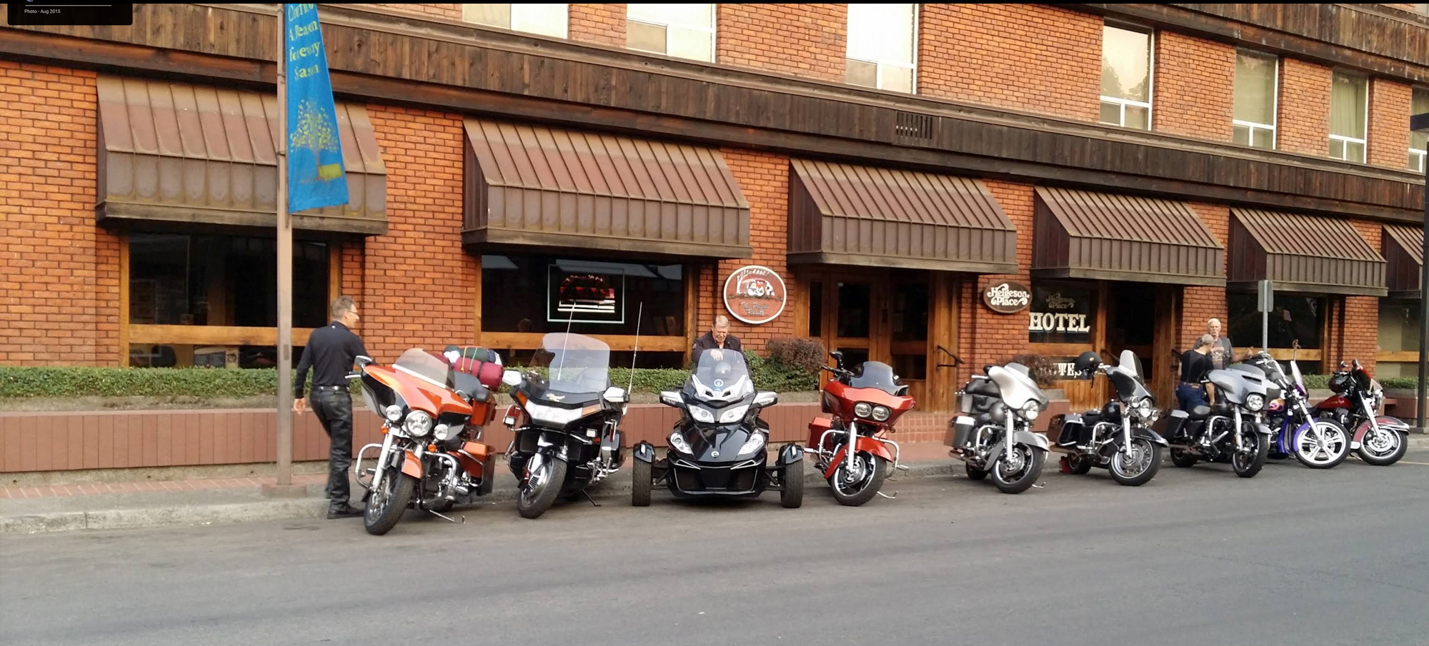
Helgeson Place Hotel Suites, Johnson Avenue, Orofino, ID, USA
1 mi
View Listing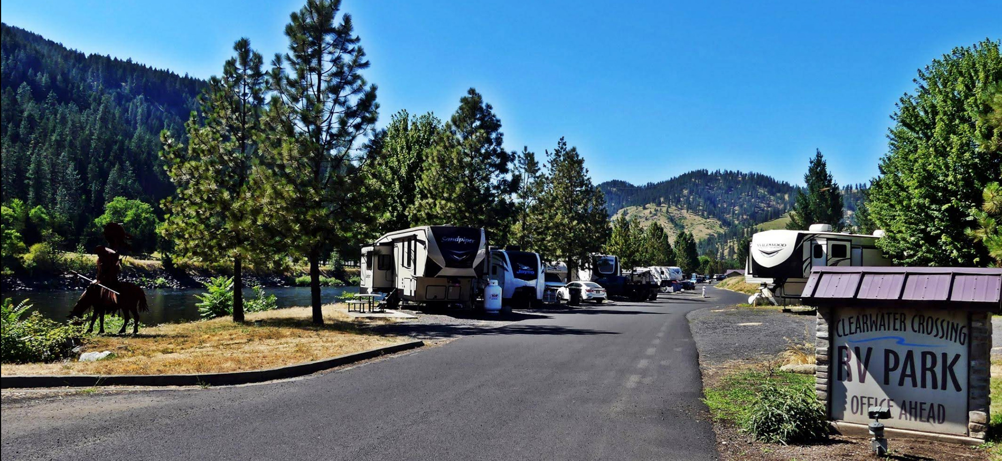
Clearwater Crossing RV Park, Riverfront Ave, Orofino, ID, USA
1 mi
View Listing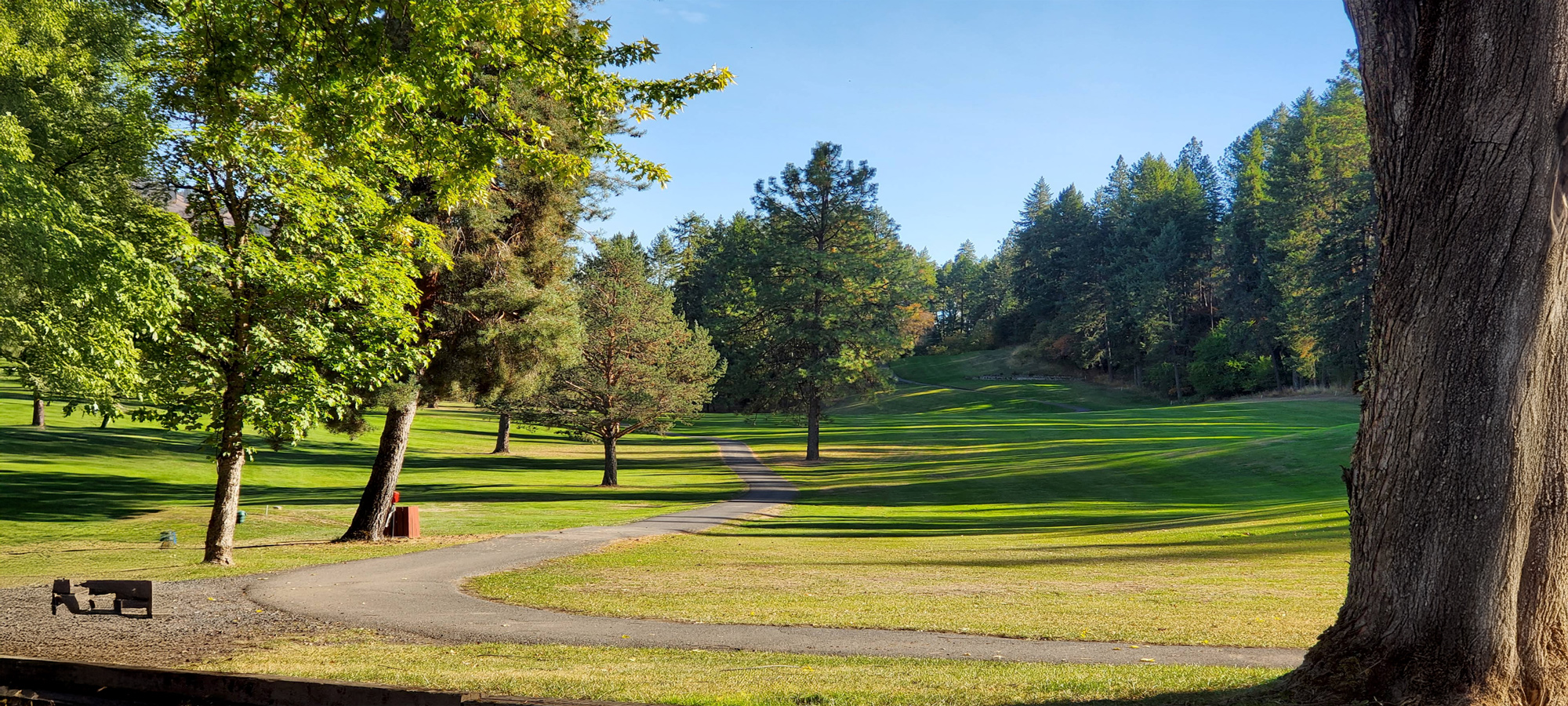
Orofino Golf & Country Club, Debertin Drive, Orofino, ID, USA
2 mi
View ListingOur bi-weekly newsletter provides news, history, and information for those interested in traveling along along the Lewis & Clark Trail.


