Williston to Zortman, Montana
Across the Northern Reach
In late-April and May 1805, the Lewis and Clark Expedition’s enlisted men were paddling, poling, sailing, and towing their boats up the Missouri River between the mouth of the Yellowstone River and the Fred Robinson Bridge on US Highway 191. Today, this portion of their journey is difficult to access—even by boat—and remains sparsely populated. Yet there are some hidden gems where the average historical traveler can experience what the Expedition saw in 1805—if you know where to look. Generally following the Hi-Line via U.S. Highway 2, this trip provides plenty of Western adventures.
You can learn more of the Expedition’s experience on this northernmost reach of the Missouri River at our educational website starting with April 25, 1805 and ending May 23, 1805.
You may also like our L&C Travel Magazine!
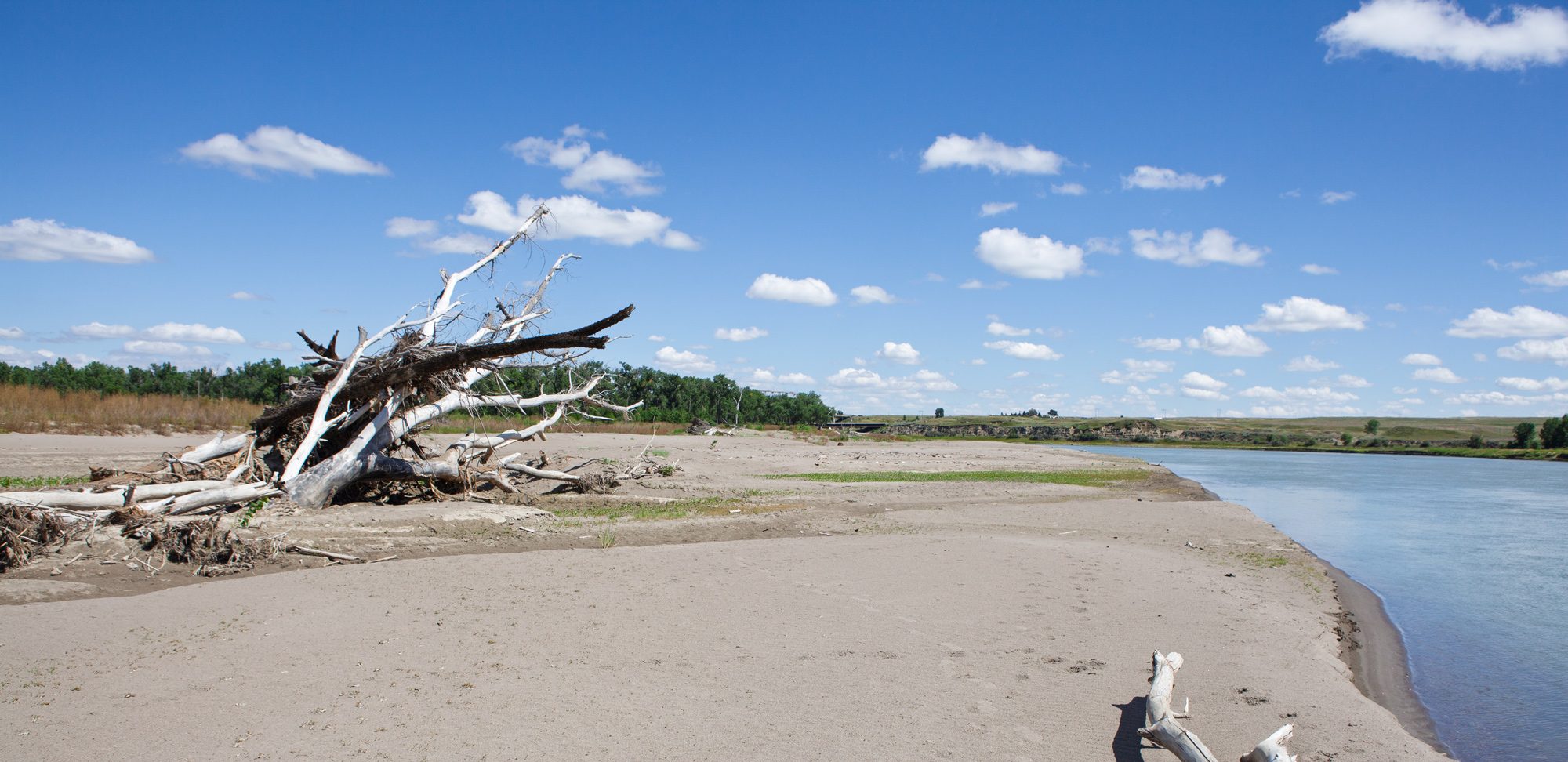
“I walked down and joined the party at their encampment on the point of land fromed by the junction of the rivers; found them all in good health, and much pleased at having arrived at this long wished for spot”
—Meriwether Lewis, April 25, 1805
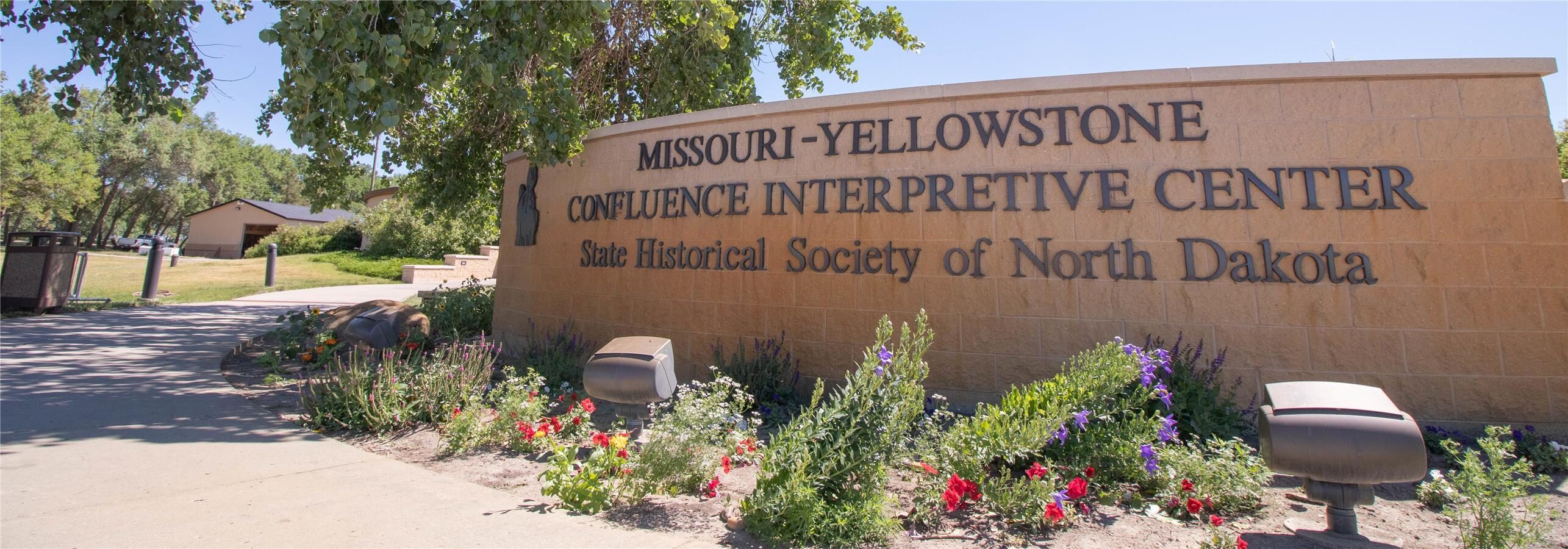
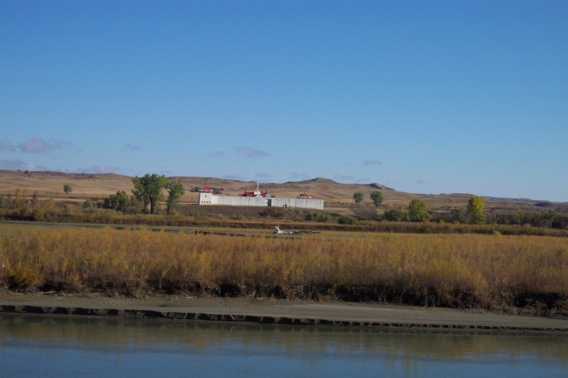
Today at this “long wished for spot”, you will find the Missouri-Yellowstone Confluence Interpretive Center, Fort Buford State Historic Site, and Fort Union Trading Post National Historic Site. The Confluence Interpretive Center houses artifacts and information focusing on Lewis and Clark’s visit to the area in 1805 and 1806. Exhibits also portray the prehistoric, tribal, fur trade, and pioneer history of the area.
At Fort Buford, visitors can explore the remnants of the frontier military post and stand in the room where Sioux Chief Sitting Bull offered his surrender. The officers’ quarters now serve as a museum with exhibits depicting army life on the plains and the role of women at an army base.
15349 39th Lane Northwest, Williston, ND 58801, USA
0 mi
View Listing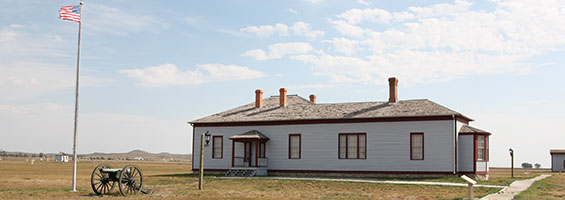
Fort Union Trading Post National Historic Site, North Dakota 1804, Williston, ND, USA
3 mi
View Listing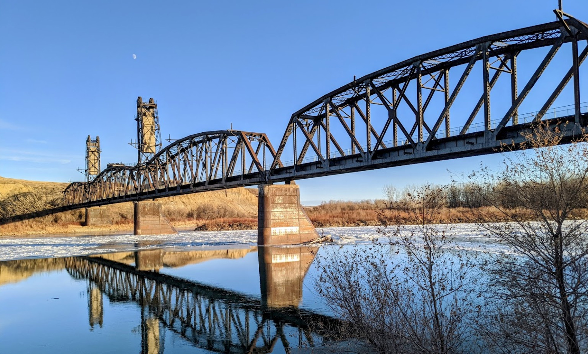
“Several of the party was up the yellow Stone R Several miles, & informed that it meandered throught a butifull Countrey Joseph Fields discovered a large Creek falling into the Yellowstone River on the S E Side 8 miles up near which he Saw a big horn animal”
—Meriwether Lewis, April 26, 1805
Joseph Field’s creek was later named—though not by Clark—for expedition interpreter Toussaint Charbonneau. There, the Fairview Lift Bridge and Tunnel offers the visitor a great view of both the Yellowstone River and Charbonneau Creek. From the bridge, a rails-to-trails path enters the Cartwright Tunnel and continues about a mile to the community of Cartwright, North Dakota.
Parking is at Sundheim Park and the WDM Disc Golf Course and Yellowstone Bridge RV Park are nearby.
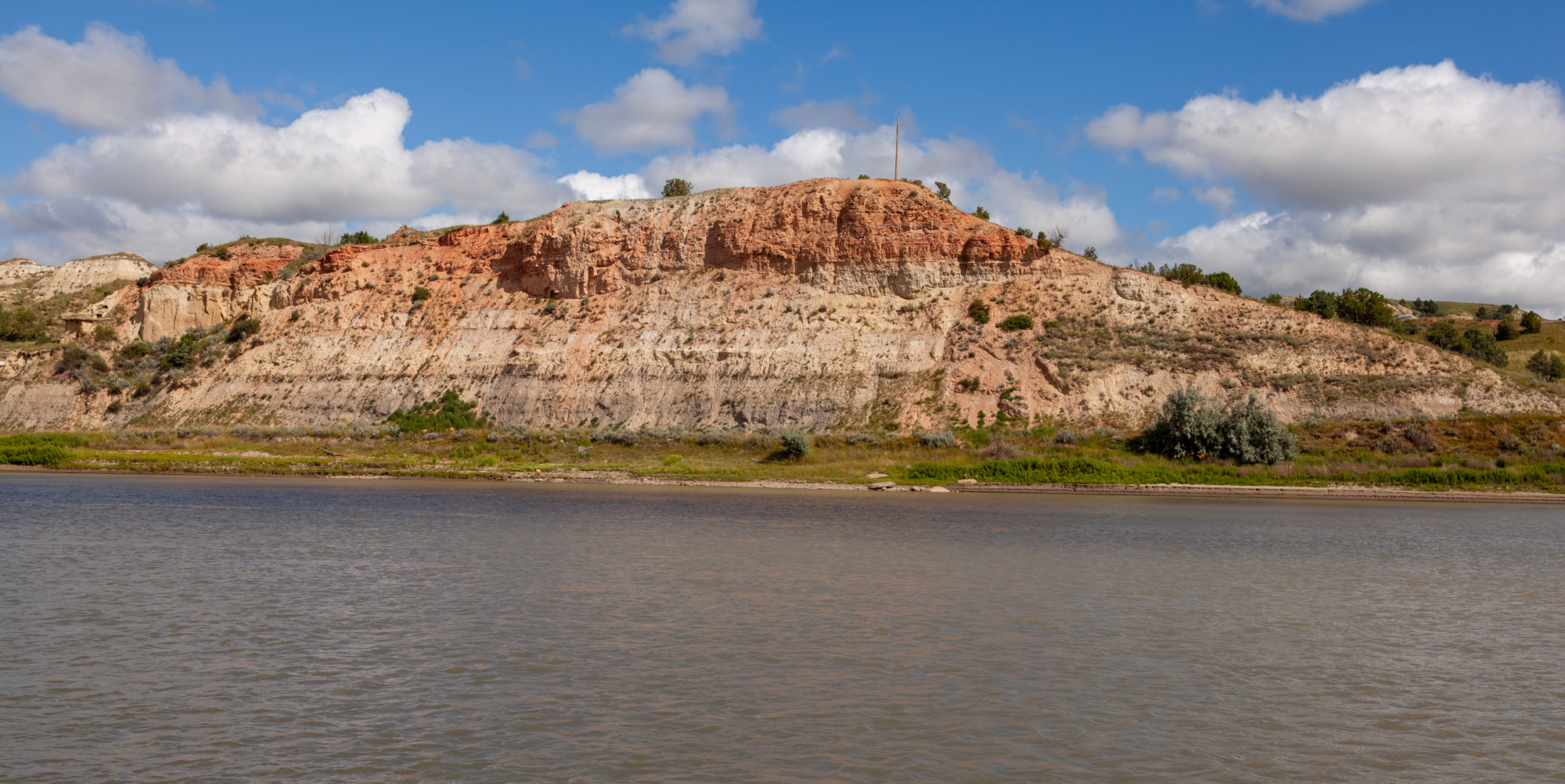
“the Bluffs in this part as also below Shew different Straturs of Coal or carbonated wood, and Coloured earth, such as dark brown, yellow a lightish brown, & a dark red &c.”
—William Clark April 28, 1805
A short detour off the Hi-Line will take you to the Culbertson Bridge Fishing Access Site with a view of the exact bluffs described by Clark in late April. On the southern end of the Culbertson Bridge (Montana State Highway 16), you will also find an interpretive panel, pit toilet, and a sandy beach. Stop for the view, have a picnic, or drop a line in the Missouri River.
Those looking for access to the Missouri River between Fort Peck and Poplar, Montana will find it at Lewis and Clark Park located next to the historic Wolf Point Bridge on Montana State Highway 13. Depending on water levels, one can walk the sandy river shore observing wildlife tracks, plants, and washed-away cottonwood logs just as Lewis and Clark did in early May 1805.
At the park is a boat launch and disc golf course. There are picnic tables, plenty of shady cottonwoods, and a pit toilet.
Spanning the river is the historic bridge dedicated in 1930, now closed to motorized traffic. In 1930, it was called both the Wolf Point Bridge and Lewis and Clark Bridge. Today, it is the last example of a riveted Pennsylvania through truss bridge in Montana.
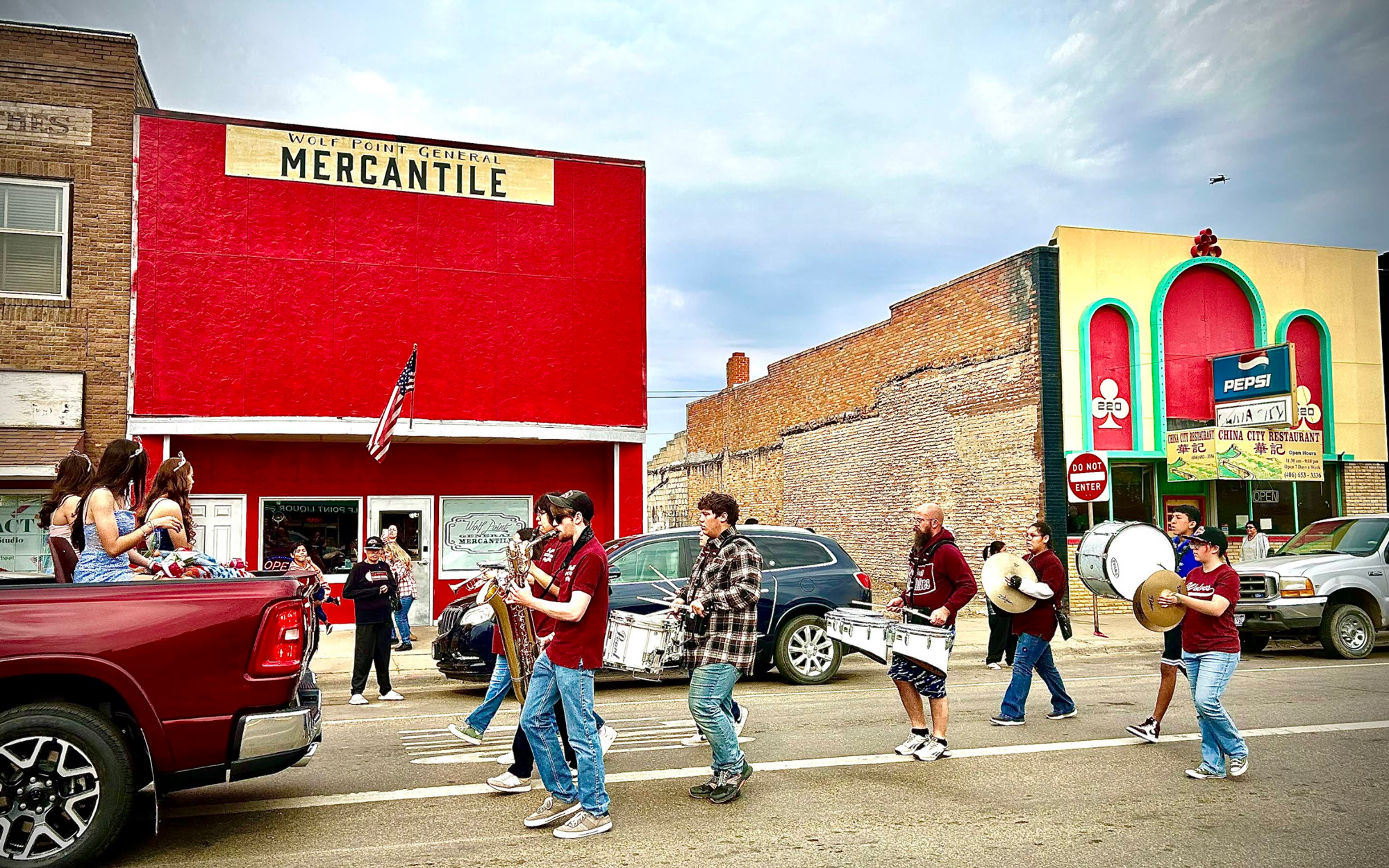
Wolf Point General Mercantile, Main Street, Wolf Point, MT, USA
5 mi
View Listing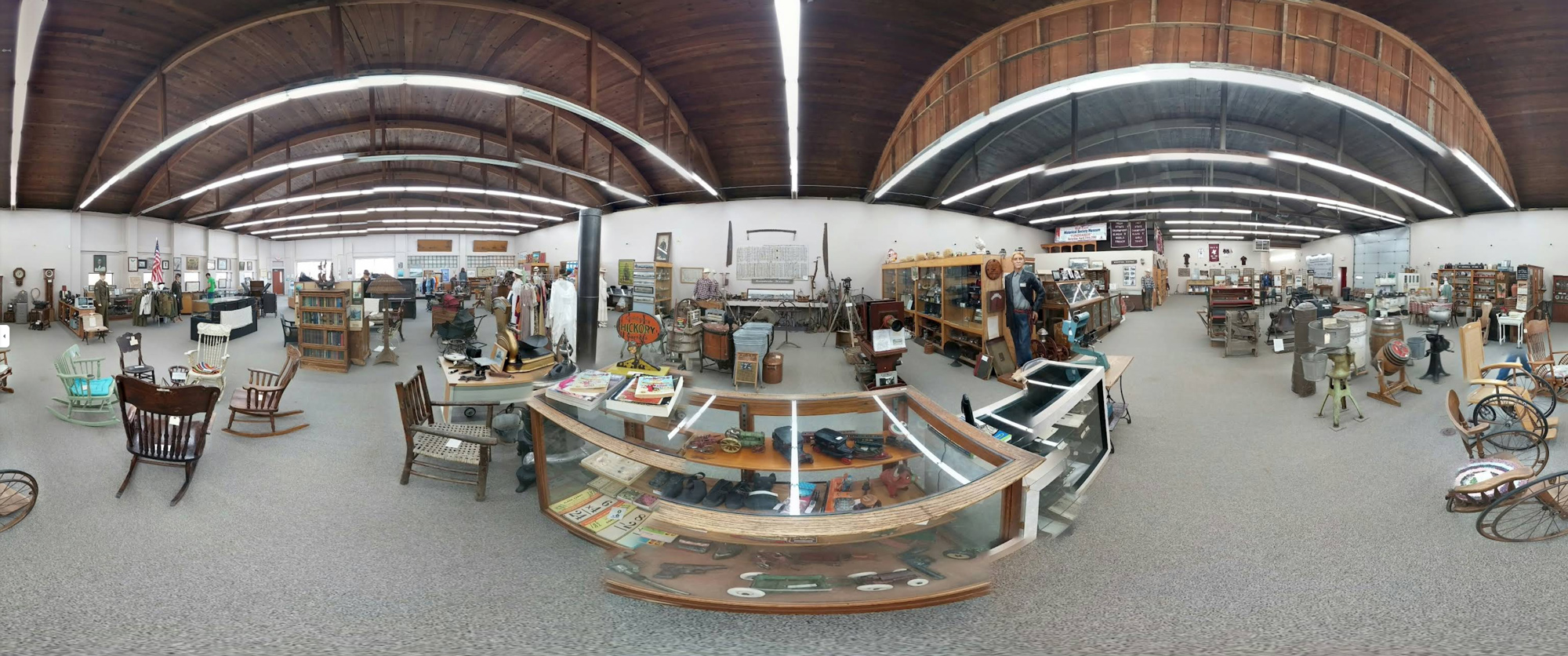
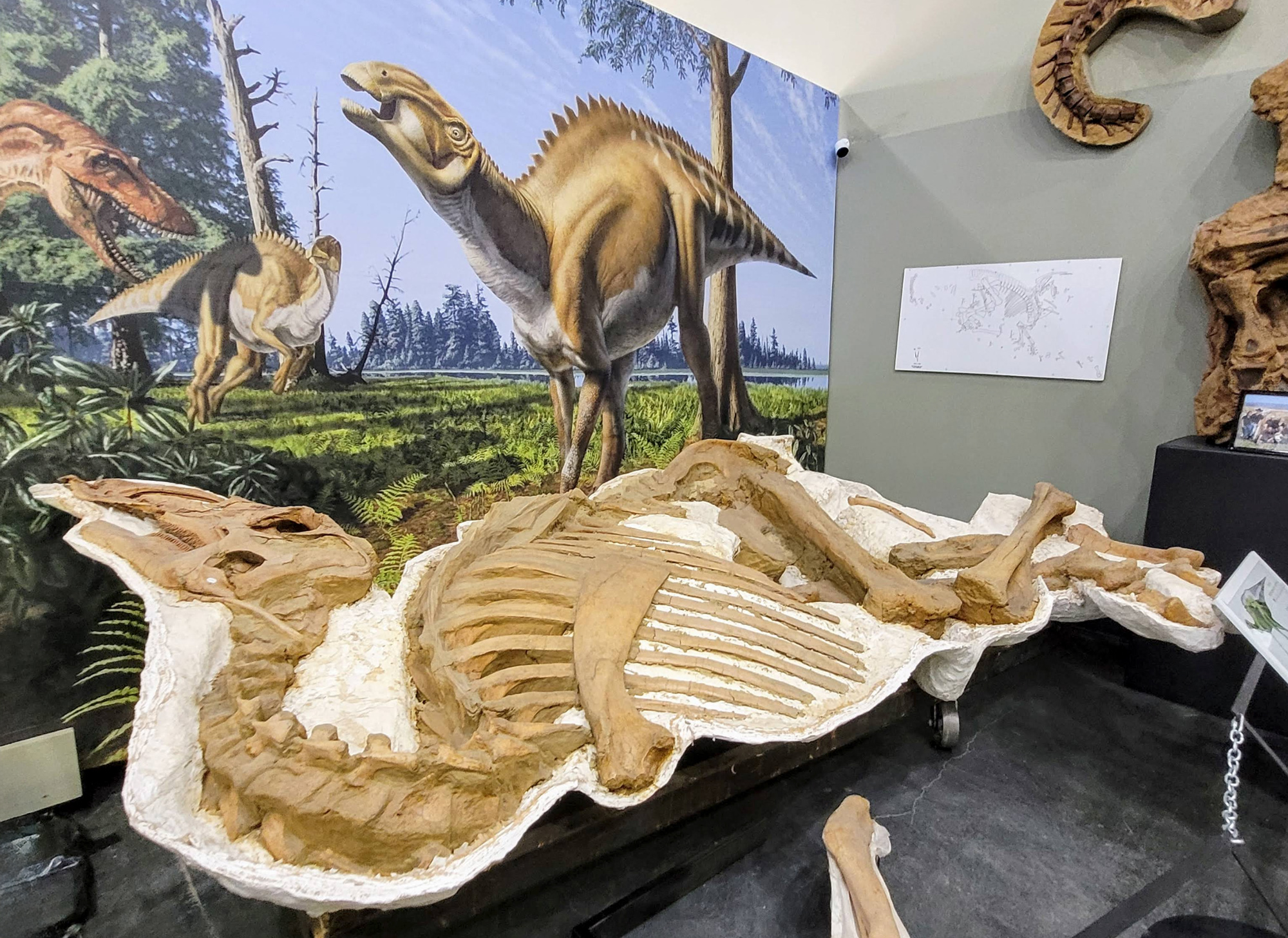
At the Fort Peck Interpretive Center, explore the rich history of the area from dinosaurs to dam building. Of the north shore, Clark wrote:
“The countrey on the North Side of the Missouri is one of the handsomest plains we have yet Seen on the river,” and of the south shore Lewis described: “high broken hills, with much broken, grey black and brown granite scattered on the surface of the earth in a confused manner.”
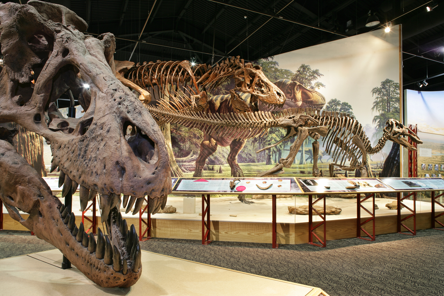
The Fort Peck Interpretive Center is one of fourteen stops on the Montana Dinosaur Trail, and visitors are greeted by a life size model of Peck’s Rex, a nearly complete Tyrannosaurus rex discovered 20 miles southeast of Fort Peck. Other fossils on display include a Struthiomimus, an ostrich-like dinosaur that could run over 35 miles per hour, and marine reptile inhabitants of the ancient Cretaceous Sea.
“the water of this river possesses a peculiar whiteness, being about the colour of a cup of tea with the admixture of a tablespoonfull of milk. from the colour of it’s water we called it Milk river.”
—Meriwether Lewis, May 8, 1805
The Lewis & Clark Observation Point on the Milk River Overlook trail gives a spectacular view of the Milk River’s confluence with the Missouri. To reach the trailhead from the north, cross the Missouri on the Fort Peck Spillway Bridge on Montana State Highway 24, and shortly after, head northeast on Fort Peck Tower Hill Rd.
Lewis and Clark correctly surmised that this was the “River which scolds at all others” or “Ah-mâh-tâh, ru-shush-sher” which the Hidatsa had first told them about during their stay at Fort Mandan. Pvt. Whitehouse noted that:
“We halted at a point above the Mouth of this River to dine, where Some of our party went a short distance up this River […they reported] that the River continued its breadth and depth as high up as where they had been—the Water Clear, and deep; the banks tolerably high, and the land very rich, and the country fertile, being partly Priaries and some Skirts of woodland.”
For more on the Milk River, see at our educational website Discover Lewis & Clark, the Milk River.
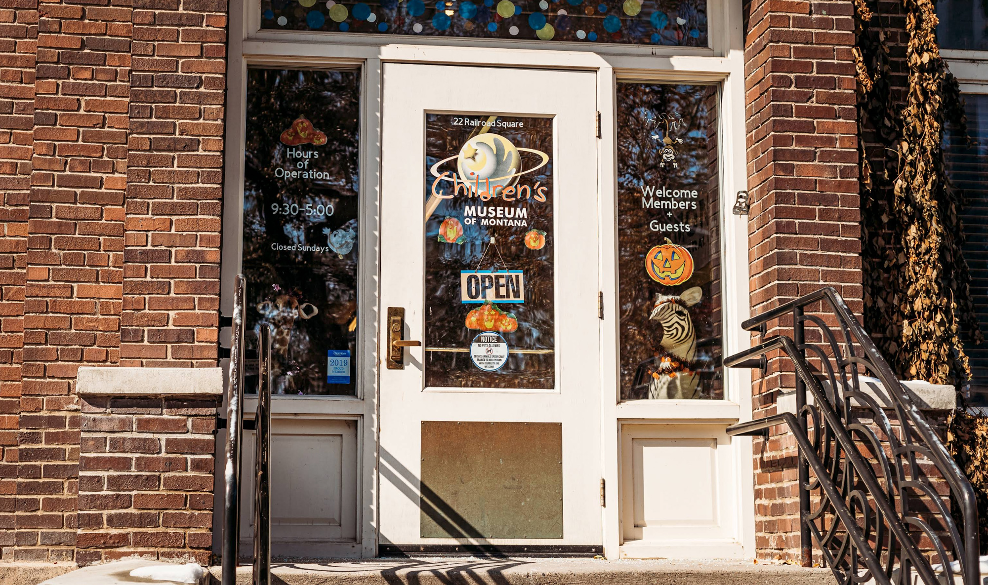
As a major hub along the Hi-Line, Glasgow offers a full array of lodging and dining options. The Valley County Pioneer Museum has an amazing historical experience while the Children’s Museum of NE Montana has places to play and an amazing display of animals from all over the world. Old Red Barn Gifts houses hidden treasure from kids’ toys to seasonal gifts, souvenirs, kitchenware to clothing and apparel.
The Children’s Museum of Northeast Montana, 2nd Street South, Glasgow, Montana, USA
0 mi
View Listing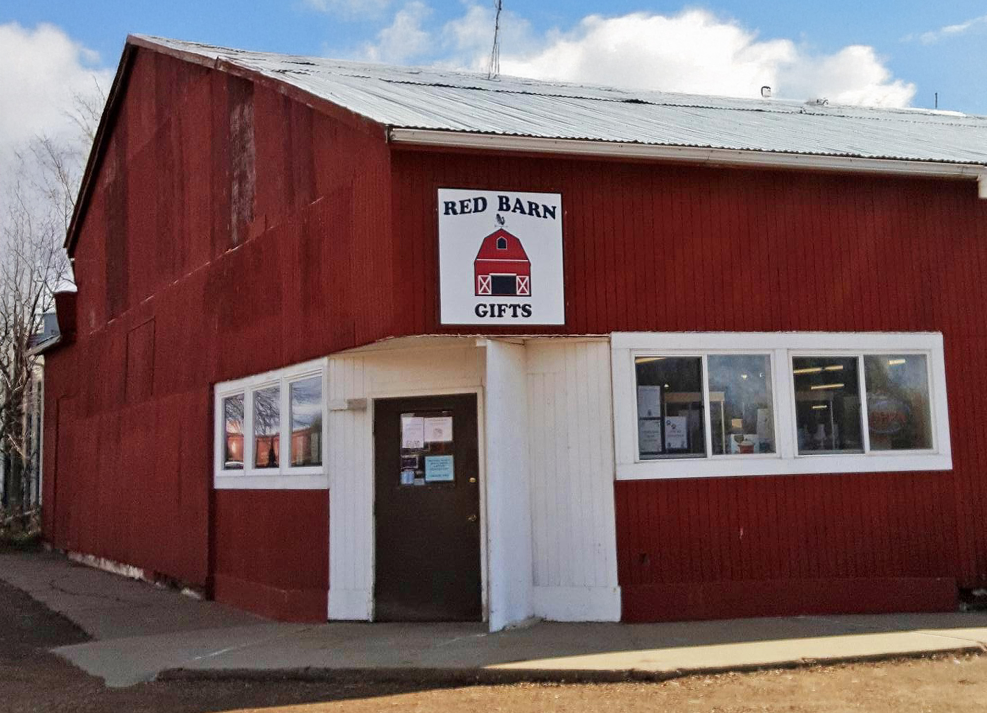
Valley County Pioneer Museum, U.S. 2, Glasgow, MT, USA
1 mi
View Listing
Before leaving the Hi-Line, enjoy Malta with a handful of accommodations and places to eat. Located side-by-side on US Highway 2, the Phillips County Museum and Great Plains Dinosaur Museum are worthy of notice.
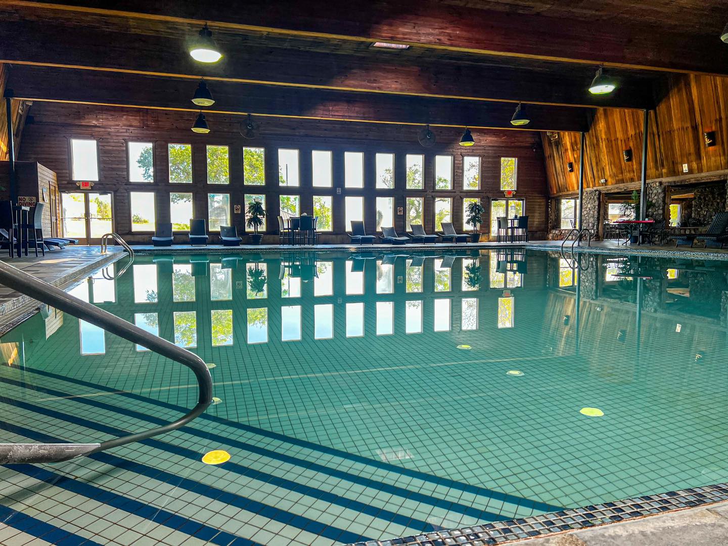
East of Malta, the Sleeping Buffalo Hot Springs & Resort offers the Lewis and Clark traveler luxury suites, cabins, RV Park, and cabins.
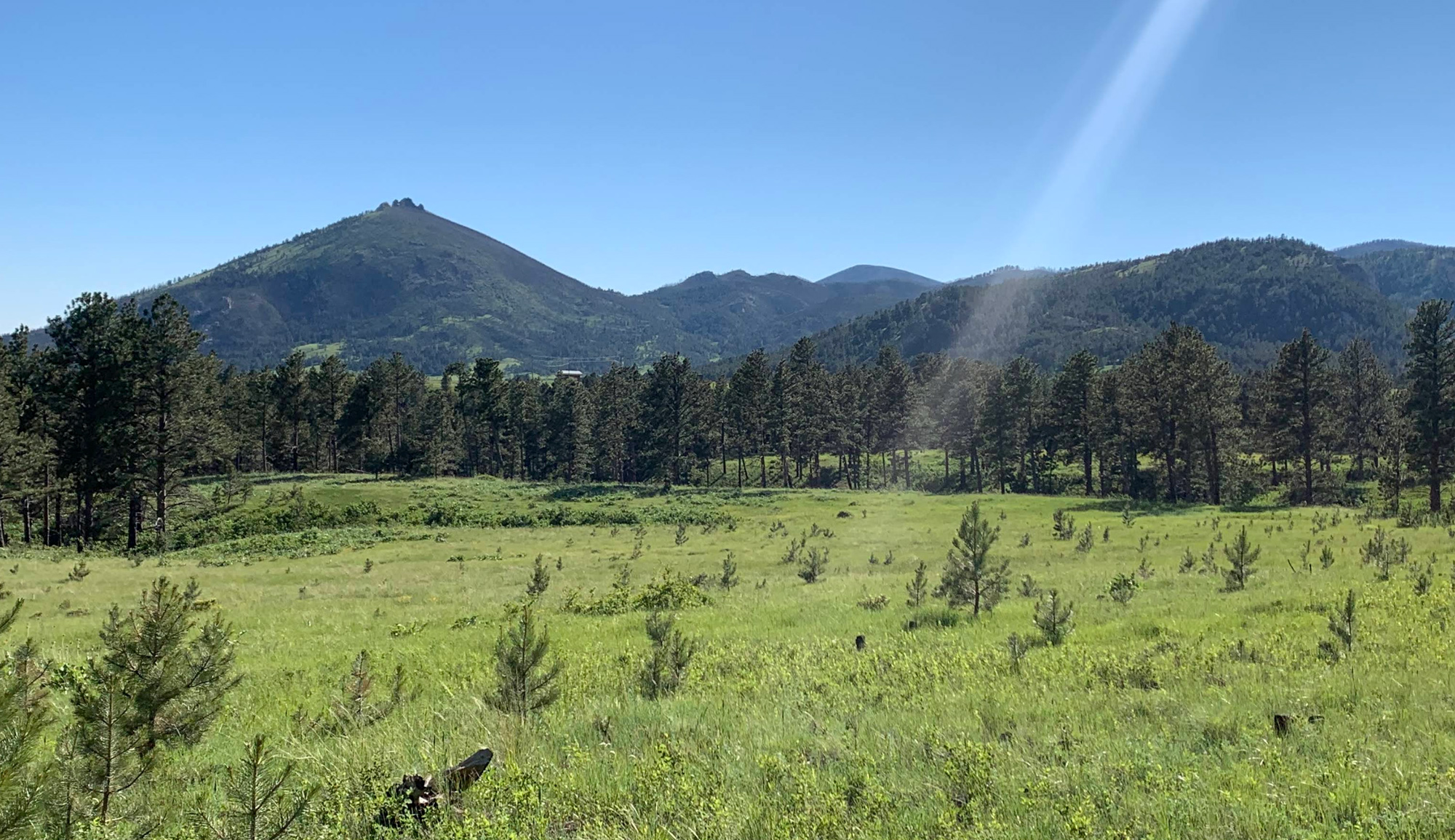
South of Malta, the adventurous traveler can experience the remote and wild expanses of the Charles M. Russell National Wildlife Refuge with a trip to the UL Bend National Wildlife Refuge or by staying at Buffalo Camp.
Great Plains Dinosaur Museum, North 1st Avenue East, Malta, MT, USA
0 mi
View Listing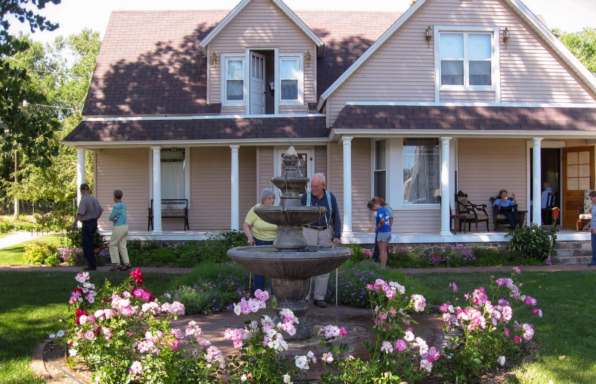
Sleeping Buffalo Hot Springs Resort, Buffalo Terrace, Saco, MT, USA
18 mi
View Listing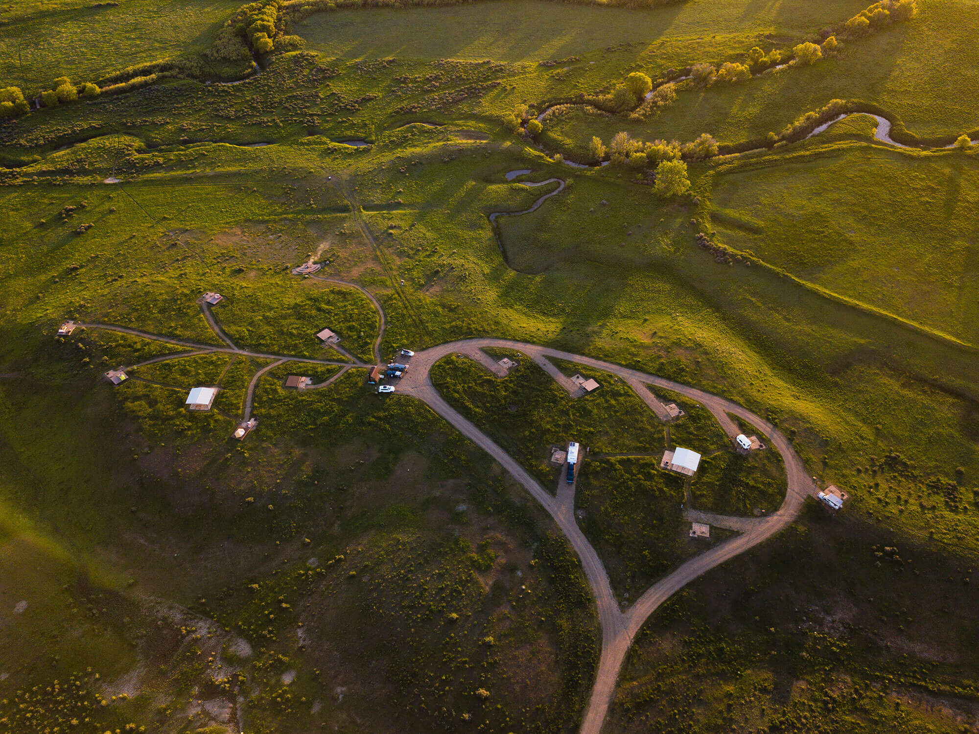
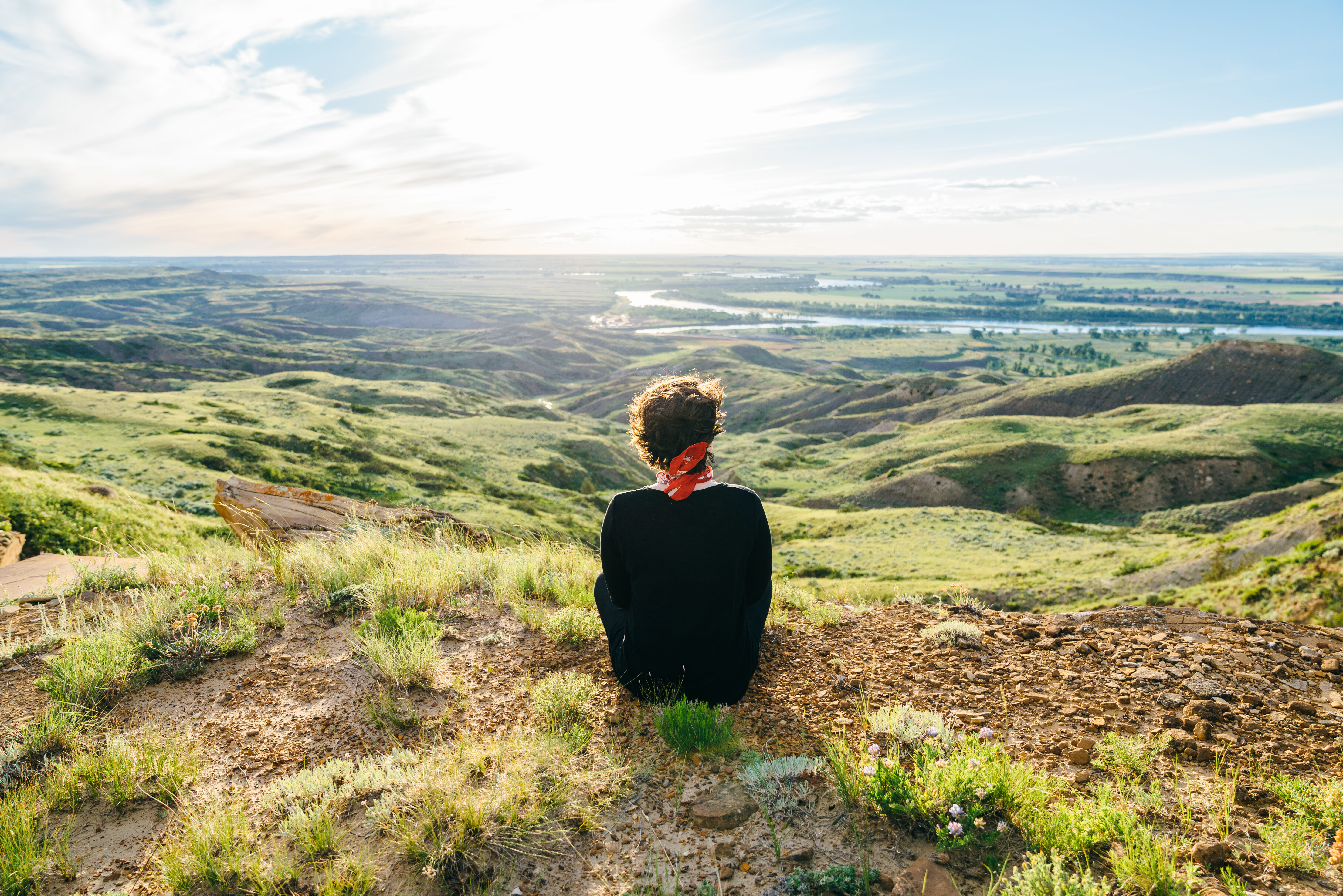
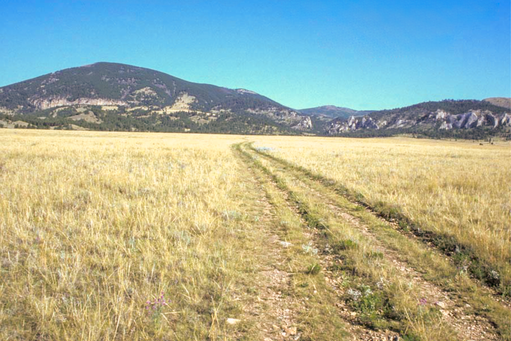
“I assended the highest hill I could See, from the top of which I Saw the mouth of M. Shell R & the meanderings of the Missouri for a long distance. I also Saw a high mountain in a westerley direction, bearing S. S W. about 40 or 50 miles distant”
—William Clark, May 19, 1805
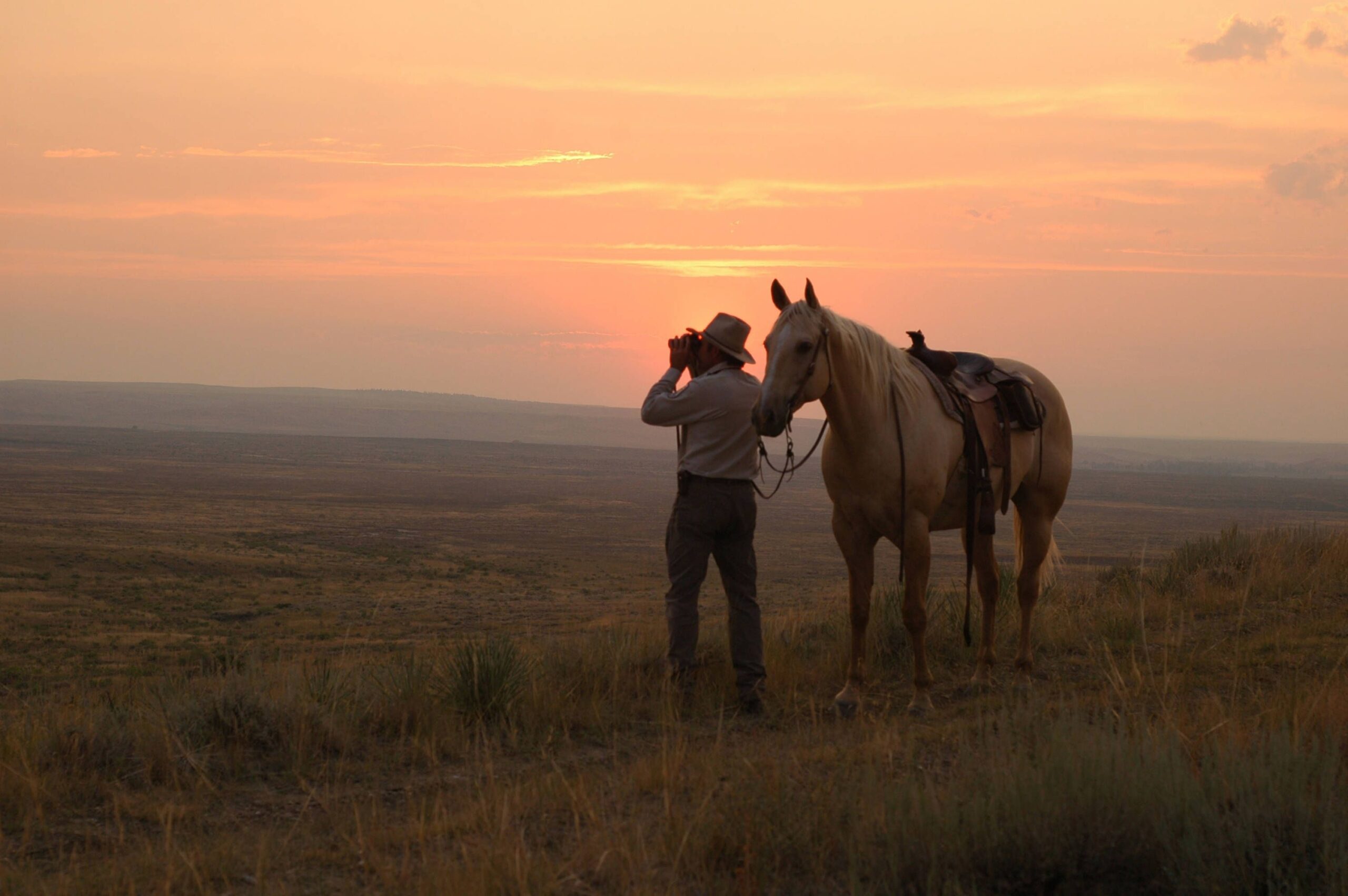
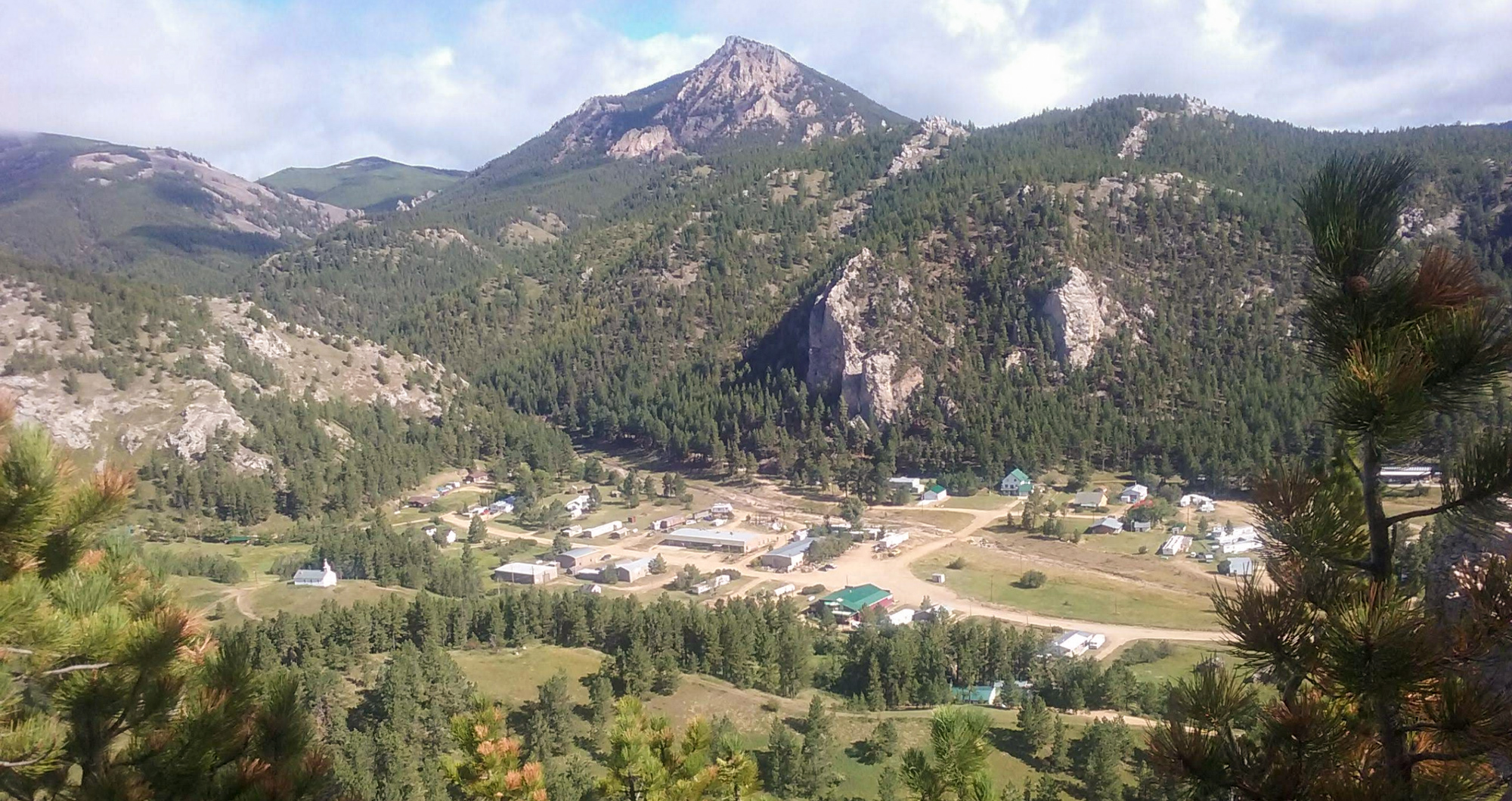
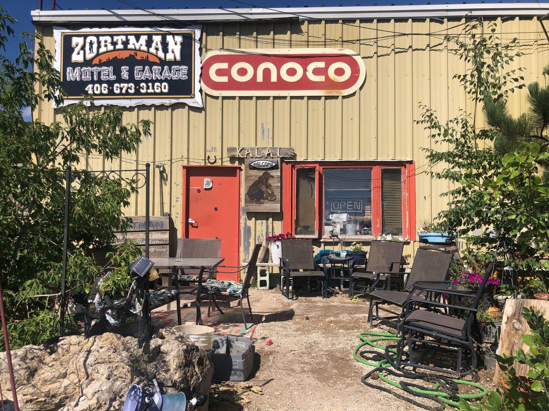
What Clark saw were the Little Rockies—a mountain island just under 60 miles in diameter about 200 miles east of the Rocky Mountains. Nestled within that small mountain range is the old mining town of Zortman—a great place to spend some time. Everywhere you go, there are residents who will talk to you and wave like they have known you for years. A friendly small town, mountains, quiet, and many different things to do—what’s not to love?
American Prairie Antelope Creek Campground, DY Junction, MT, USA
15 mi
View Listing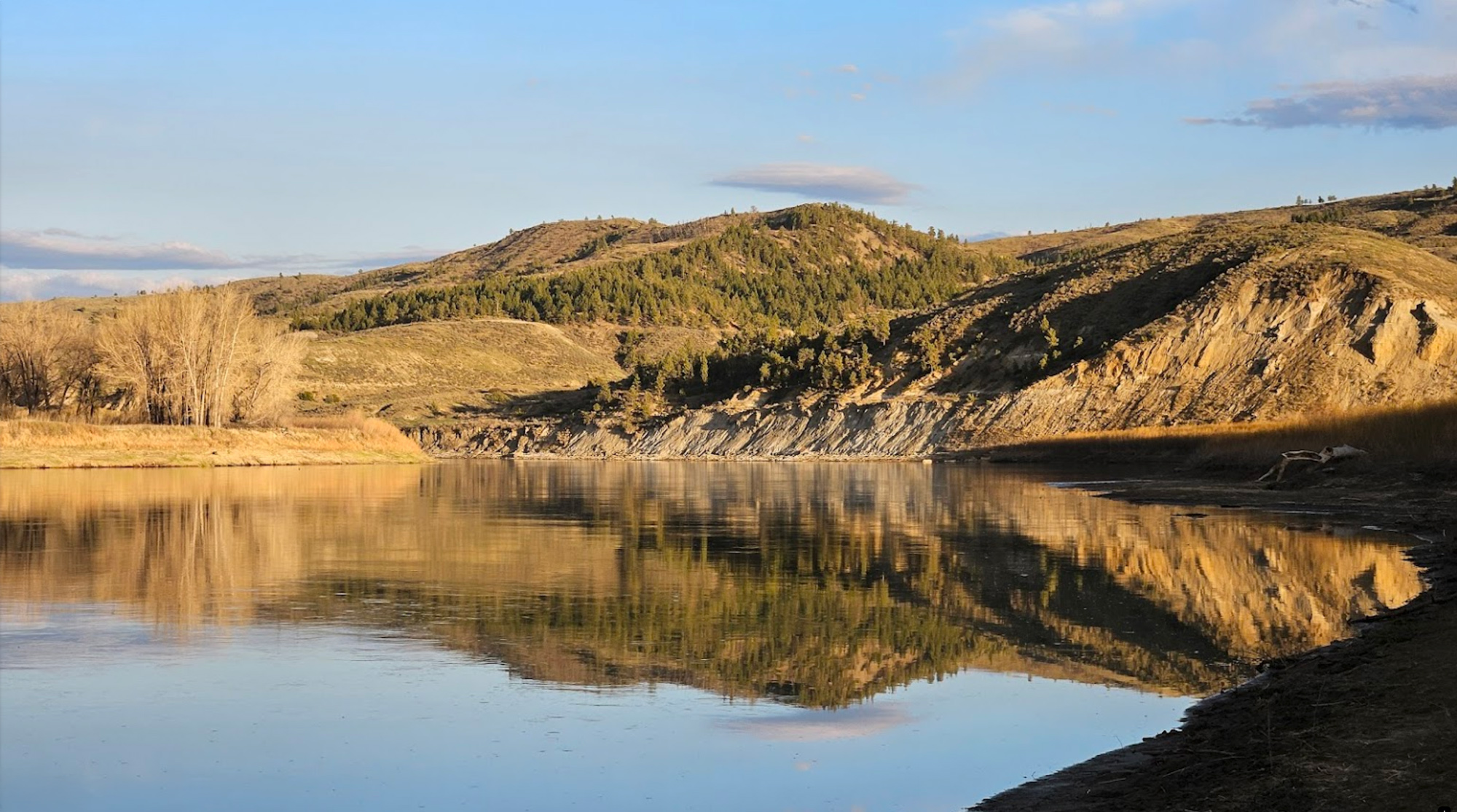
Our bi-weekly newsletter provides news, history, and information for those interested in traveling along along the Lewis & Clark Trail.


