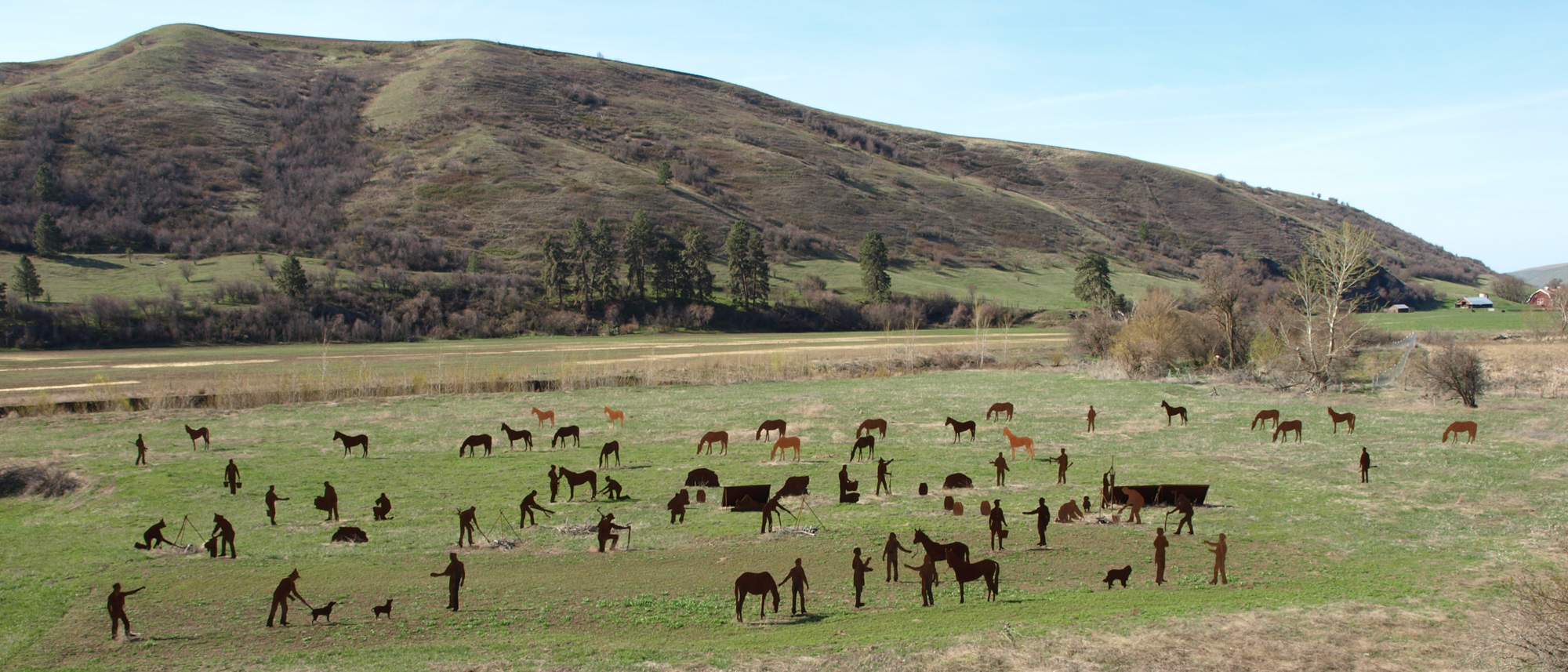
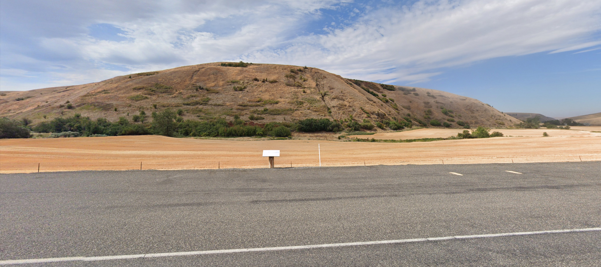
On May 3, 1806, Meriwether Lewis set the scene:
“This morning we set out at 7 A. M. steered N. 25 E 12 ms. to Kimooenem Creek through a high level plain. this creek is about 12 yds. wide pebbly bottom low banks and discharges a considerable body of water it heads in the S. W. mountains and discharges itself into Lewis’s river a few miles above the narrows. the bottoms of this creek are narrow with some timber principally Cottonwood and willow.”
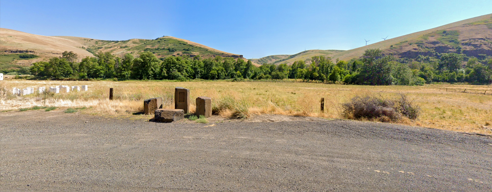
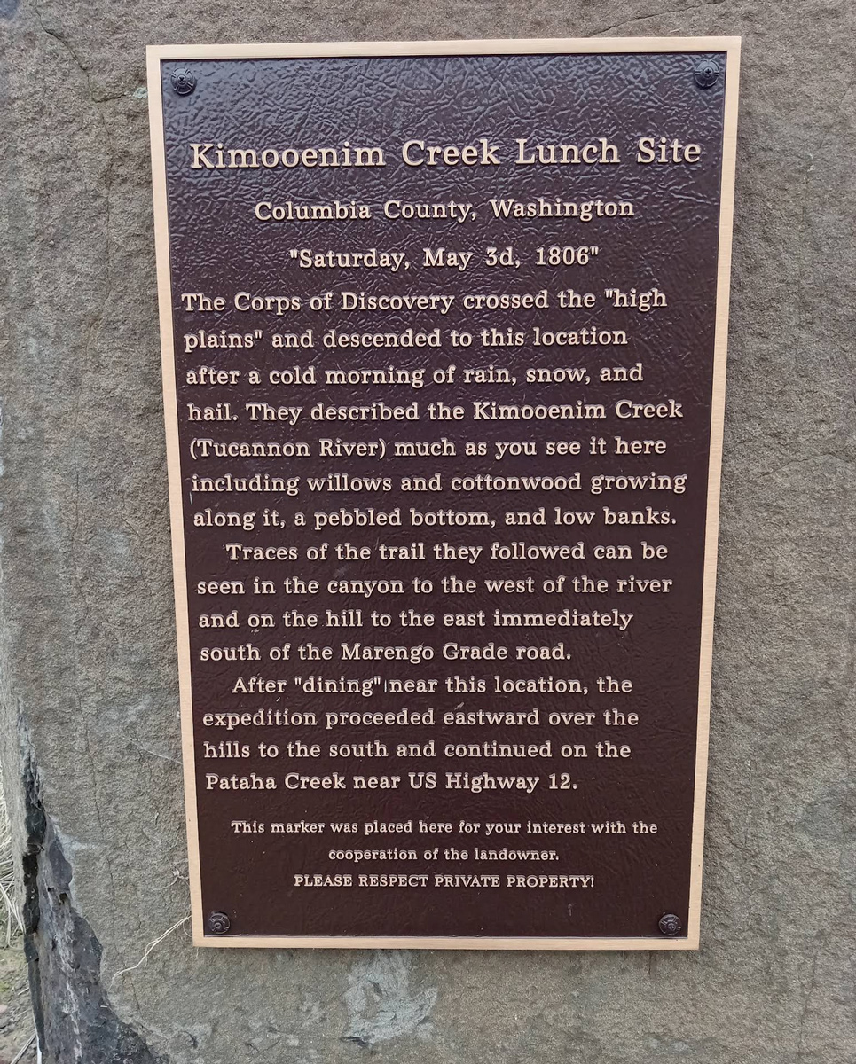
Today, a marker commemorates the Corps’ lunch in the Tucannon Canyon. The text of the marker reads in part:
“The Corps of Discovery crossed the “high plains” and descended to this location after a cold morning of rain, snow, and hail. They described the Kimooenim Creek (Tucannon River) much as you see it here including willows and cottonwood growing along it, a pebbled bottom, and low banks.
Traces of the trail they followed can be seen in the canyon to the west of the river and on the hill to the east immediately south of the Marengo Grade Road.
After “dining” near this location, the expedition proceeded eastward over the hills to the south and continued on the Pataha creek near US Highway 12.”
Garfield County Museum, Columbia Street, Pomeroy, WA, USA
Distance: 8.39 mi (straight line)
2425 Villard, Pomeroy, WA 99347, USA
Distance: 9.57 mi (straight line)
238 Ronan Hill Rd, Dayton, WA 99328, USA
Distance: 10.39 mi (straight line)
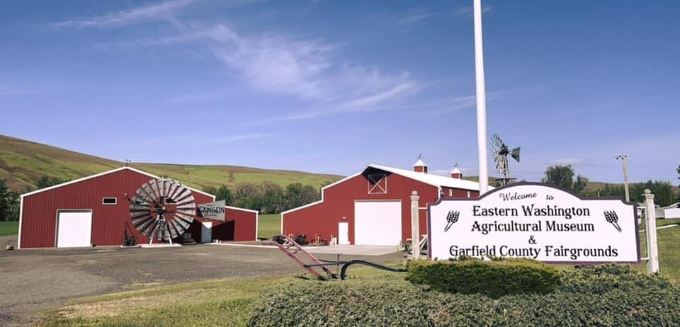
99 Fairgrounds Rd, Pomeroy, WA 99347, USA
Distance: 10.79 mi (straight line)
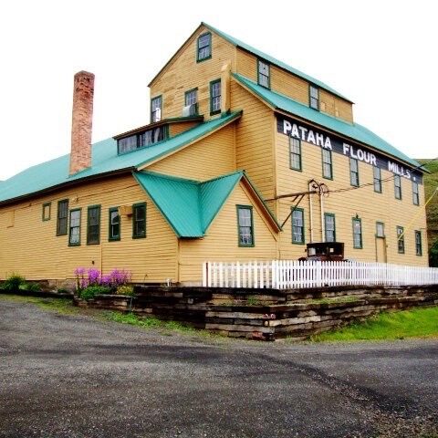
Pataha Flour Mills, Hutchens Hill Road, Pomeroy, WA, USA
Distance: 11.03 mi (straight line)
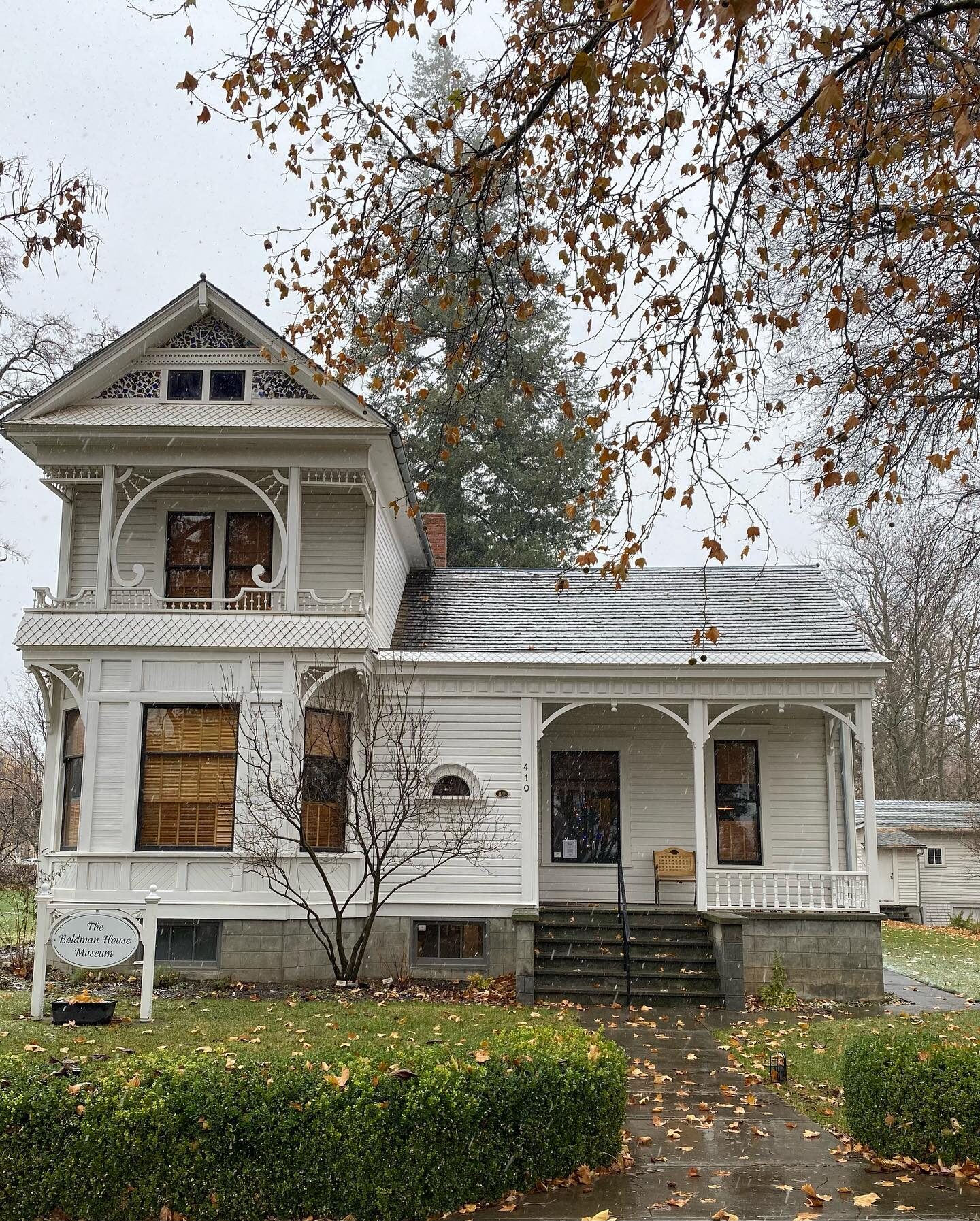
The Boldman House Museum, N 1st St, Dayton, WA, USA
Distance: 13.13 mi (straight line)
Ancient crossroads, Washington, USA
Distance: 14.12 mi (straight line)
36548 U.S. 12, Dayton, WA 99328, USA
Distance: 14.41 mi (straight line)
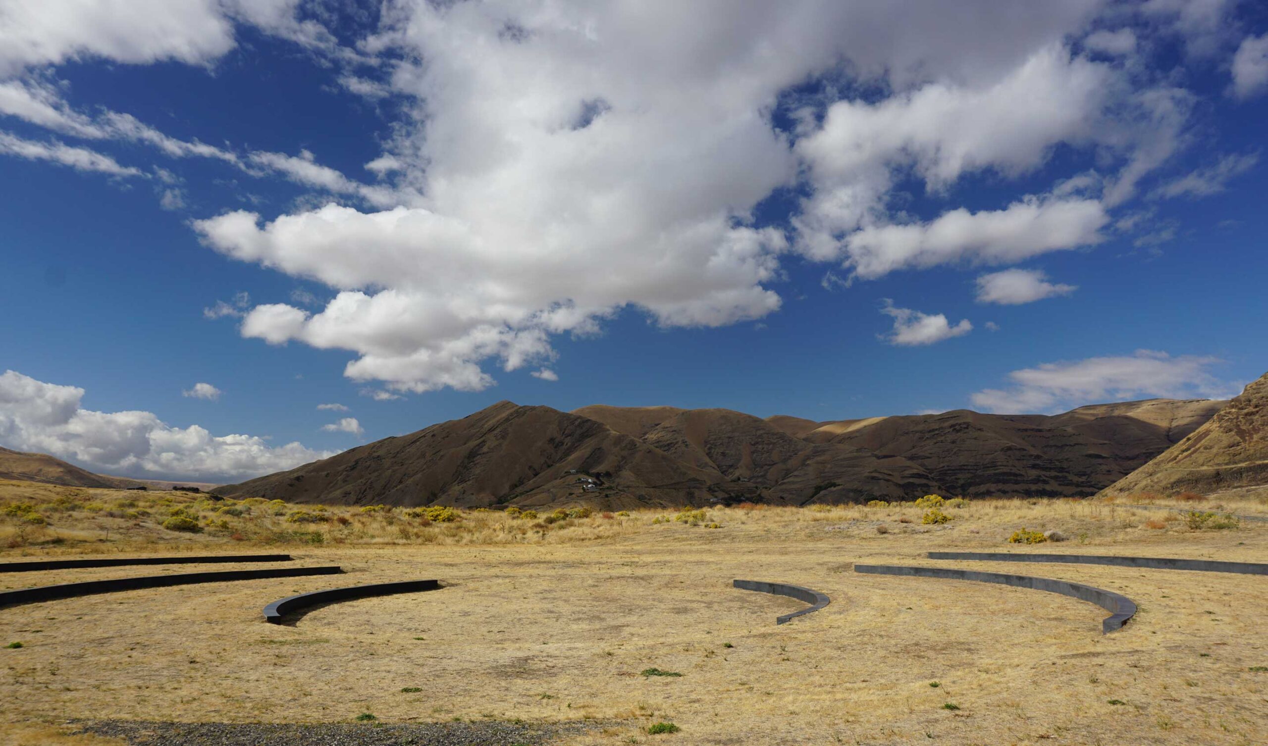
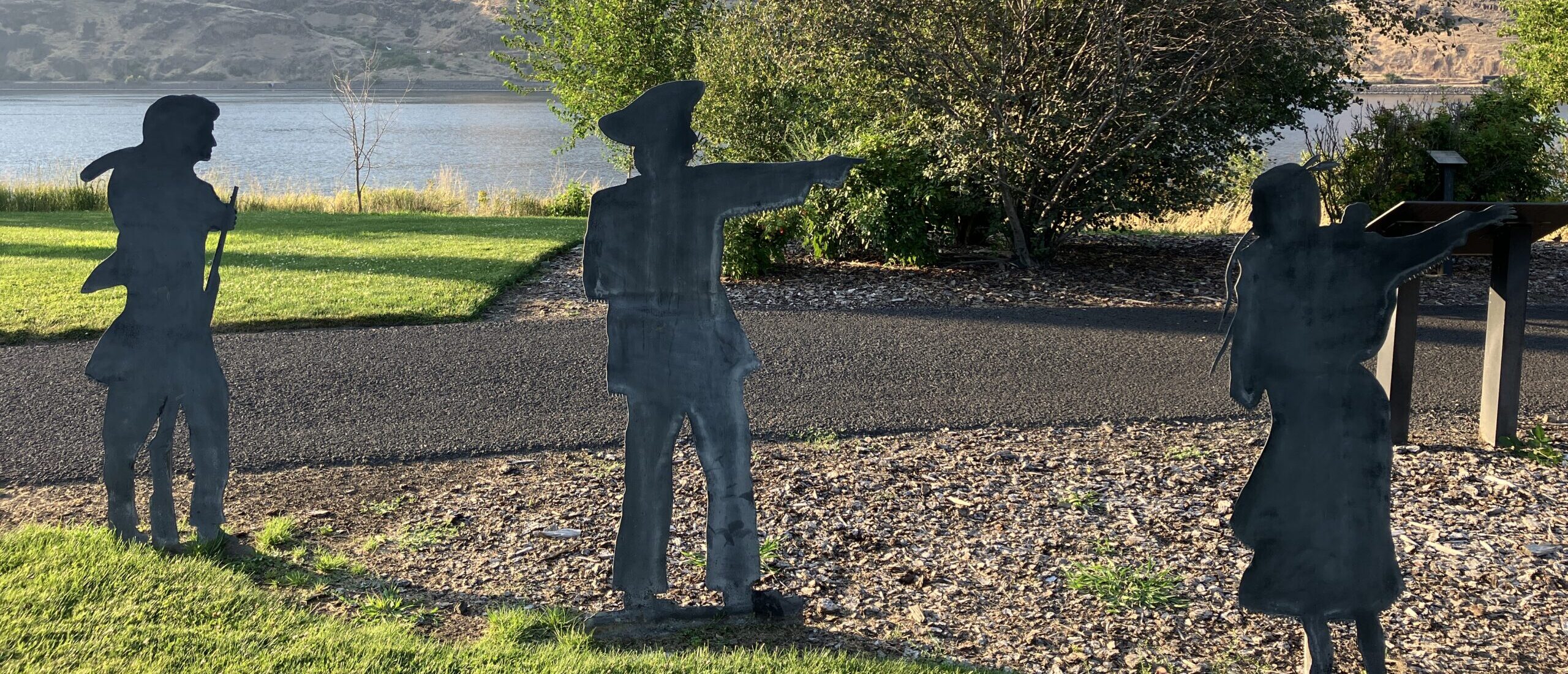
Lewis & Clark Trail State Park, U.S. 12, Dayton, WA, USA
Distance: 17.94 mi (straight line)
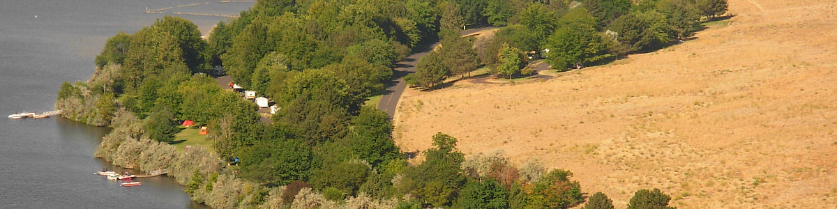
Chief Timothy Park, U.S. 12, Clarkston, WA, USA
Distance: 27.82 mi (straight line)
Chief Timothy Park, U.S. 12, Clarkston, WA, USA
Distance: 27.82 mi (straight line)
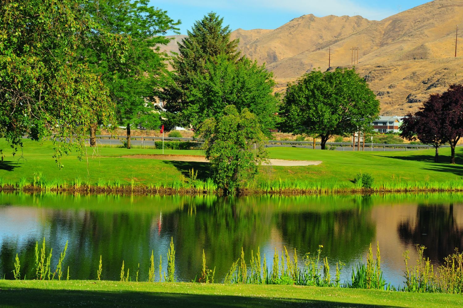
Red Wolf Golf Club, Elm Street, Clarkston, WA, USA
Distance: 33.11 mi (straight line)
Hells Canyon Resort, Port Drive, Clarkston, WA, USA
Distance: 33.49 mi (straight line)
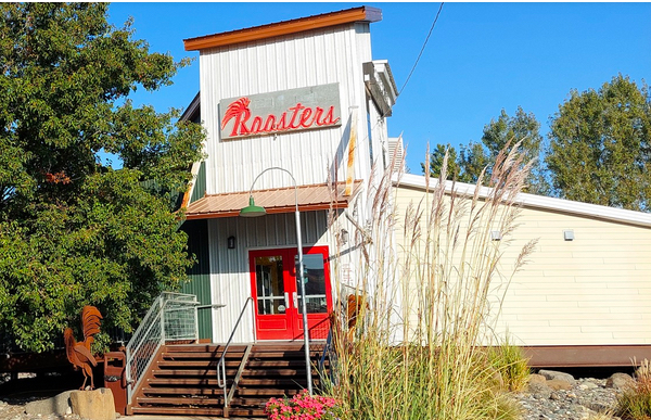
1010 Port Way, Clarkston, WA, USA
Distance: 34.26 mi (straight line)
150 9th Street, Clarkston, WA, USA
Distance: 34.45 mi (straight line)
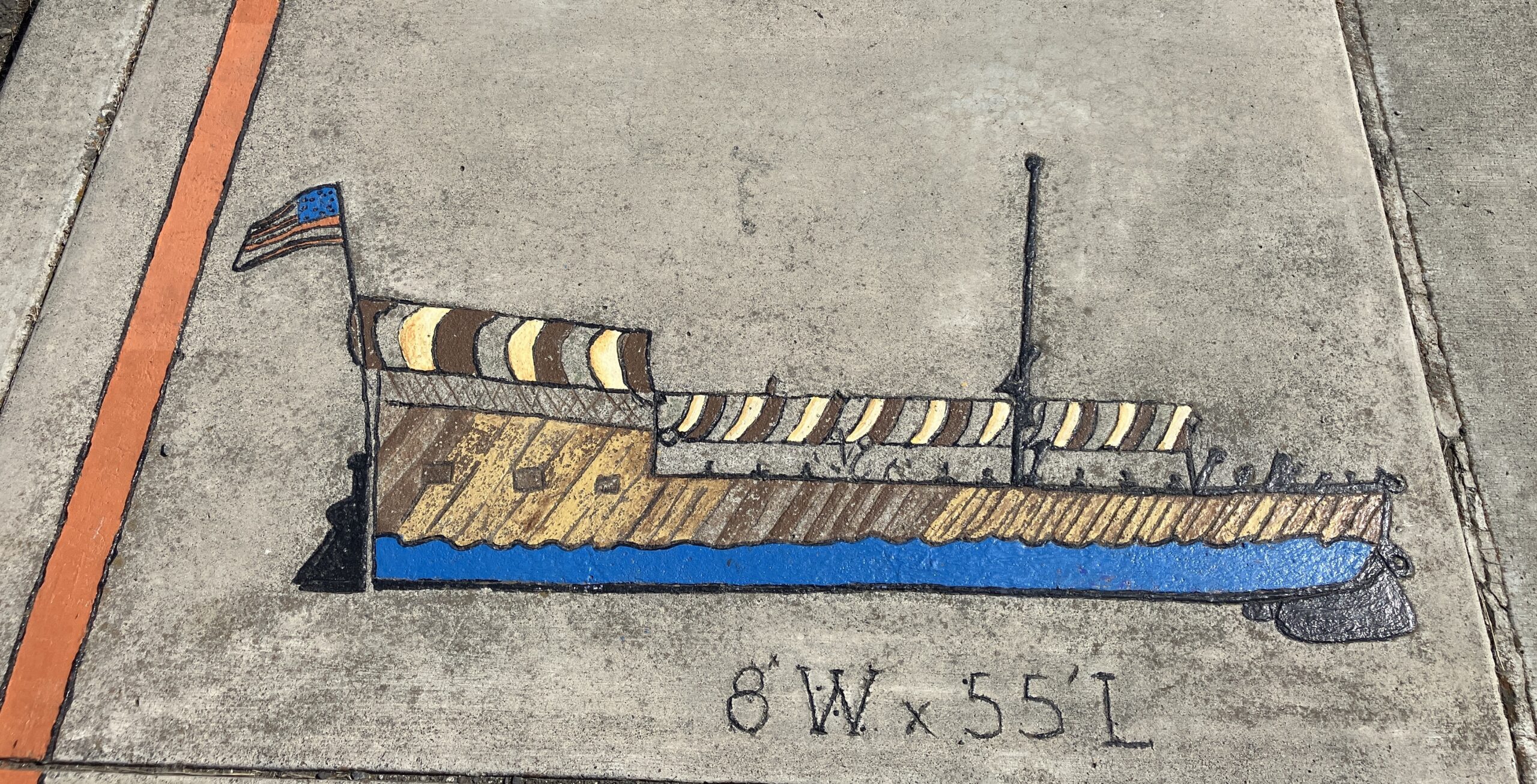
Lewis & Clark Discovery Center, Hells Gate Road, Lewiston, ID, USA
Distance: 34.49 mi (straight line)
Outdoor Experiences Museums and Interpretive Centers RV and Camping LC Features
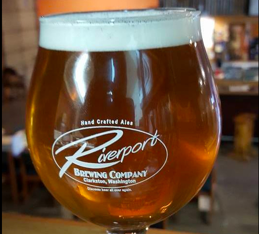
757 Port Way, Clarkston, WA 99403, USA
Distance: 34.54 mi (straight line)
Our bi-weekly newsletter provides news, history, and information for those interested in traveling along along the Lewis & Clark Trail.