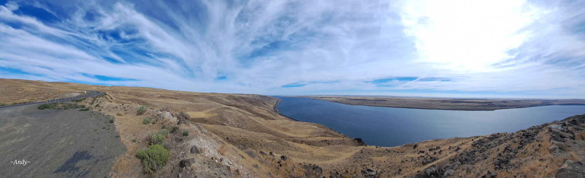
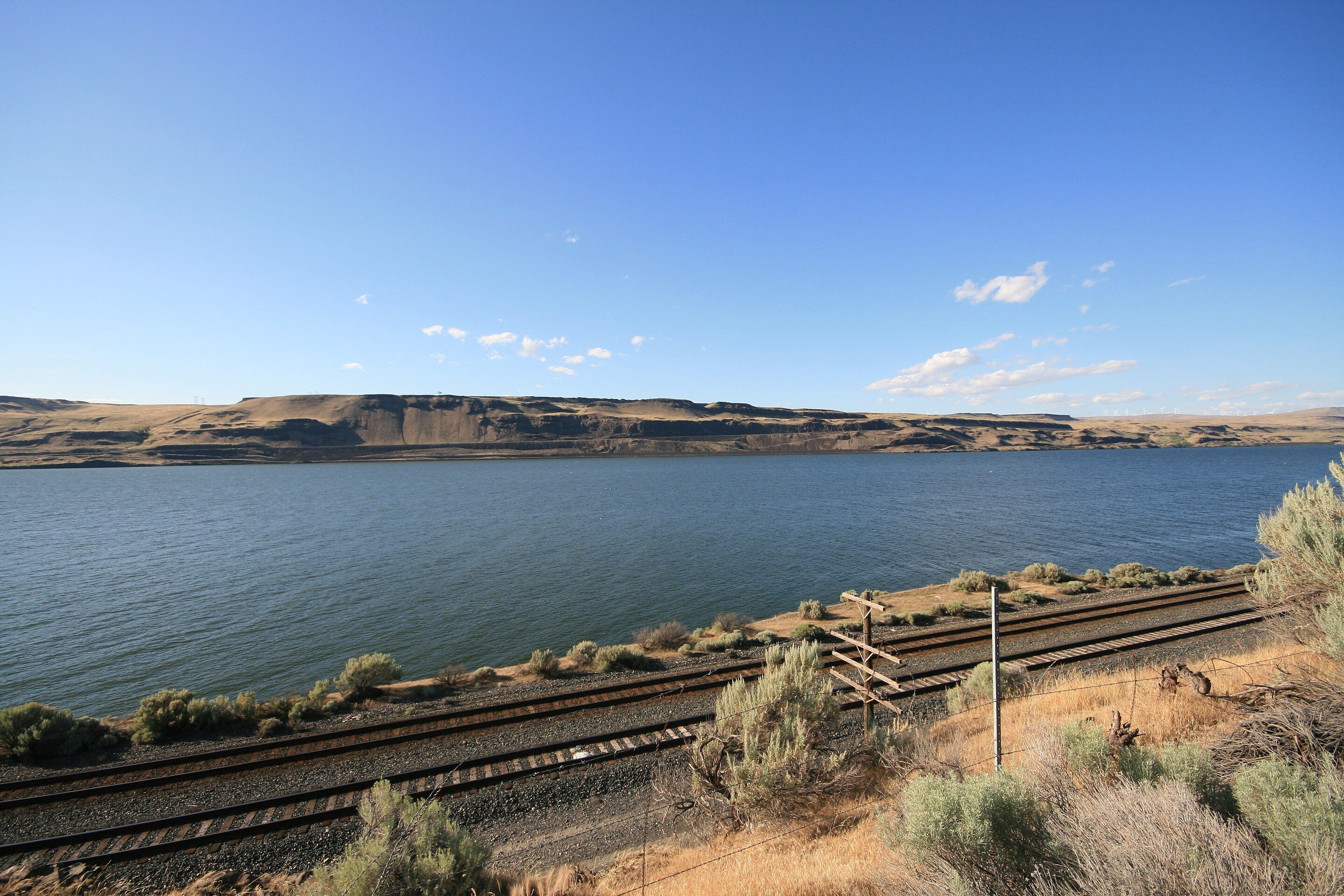
Roosevelt Grade Viewpoint
As the Lewis and Clark Expedition led their packhorses up the Washington side of the Columbia River on April 24, 1806, Lewis noticed that the high hills of the Columbia River Gorge had given way to the dry plains:
“there are now no dews in these plains, and from the appearance of the earth there appears to have been no rain for several weeks.—”
—Meriwether Lewis
One of the best views of those dry plains is this viewpoint above the tiny town of Roosevelt. Near the crest of the paved Roosevelt Grade, is a wide, graveled and level pullout providing outstanding views of the Columbia River to the east and west. At the bottom of the grade, Roosevelt has a small store and place for a picnic: Roosevelt Park Recreation Area.
Roosevelt, Washington, USA
Distance: 3.19 mi (straight line)
Food and Drinks Tribal Experiences
View Listing
Roosevelt Park Recreation Area, Roosevelt Ferry Road, Roosevelt, WA, USA
Distance: 4.04 mi (straight line)
Outdoor Experiences RV and Camping
View Listing
Roosevelt Park Recreation Area, Roosevelt Ferry Rd, Roosevelt, WA 99356, USA
Distance: 4.04 mi (straight line)
Food and Drinks Tribal Experiences
View Listing
Crow Butte Park, Crow Butte State Park Rd, Paterson, WA, USA
Distance: 16.21 mi (straight line)
RV and Camping Outdoor Experiences Walks and Hikes Viewpoints
View Listing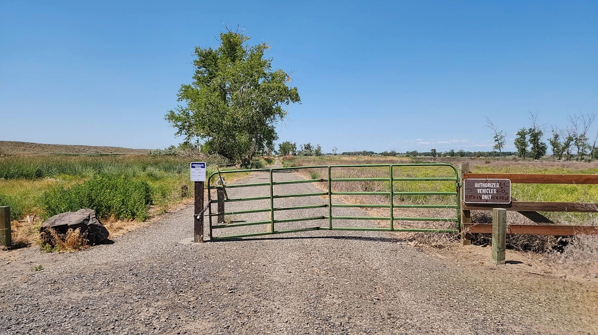
Columbia River Heritage Trail, Marine Drive Northeast, Boardman, OR, USA
Distance: 22.78 mi (straight line)
Outdoor Experiences Walks and Hikes
View Listing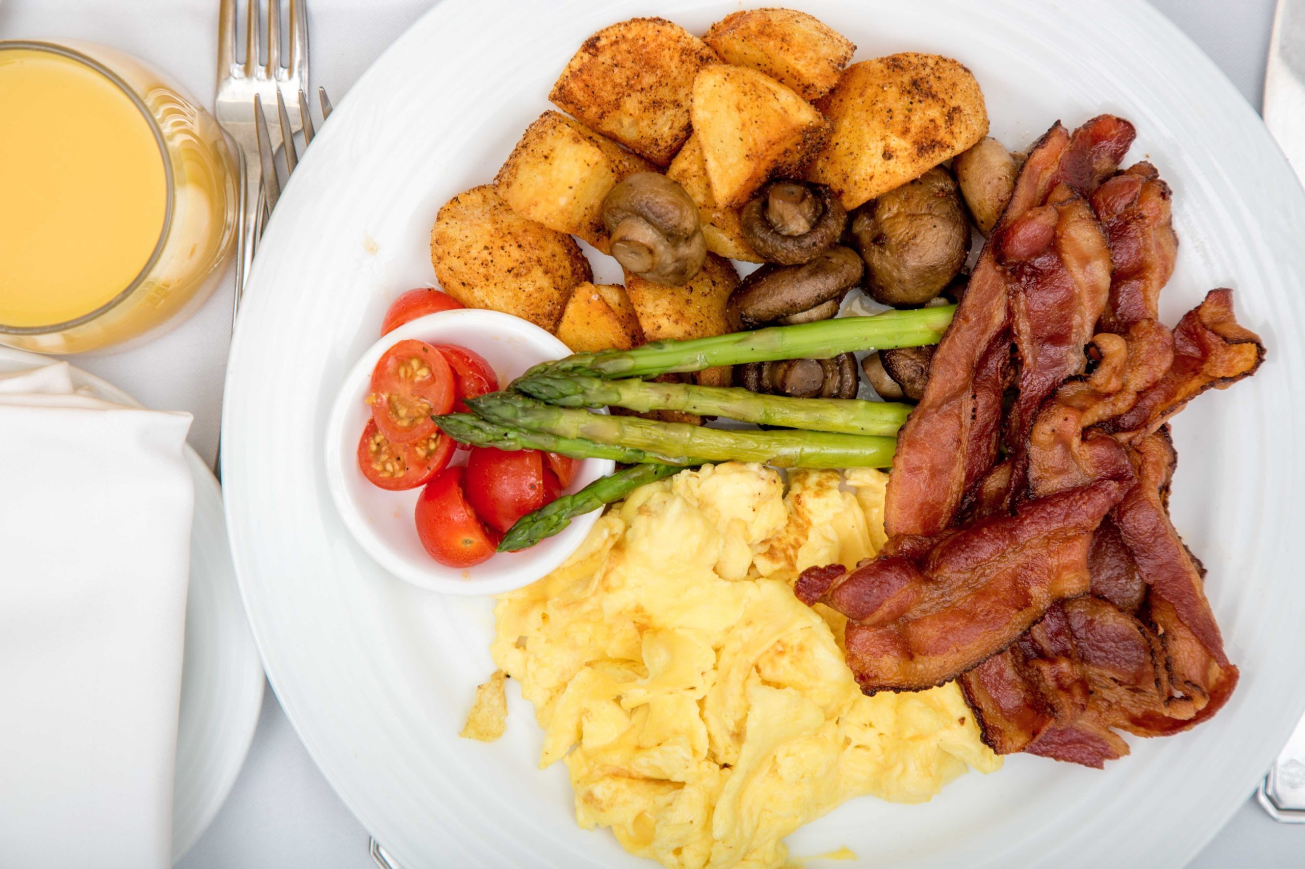
Sunrise At Boardman, Front Street Northeast, Boardman, OR, USA
Distance: 22.88 mi (straight line)

Boardman Jumpstart Java, Front Street Northeast, Boardman, OR, USA
Distance: 22.98 mi (straight line)
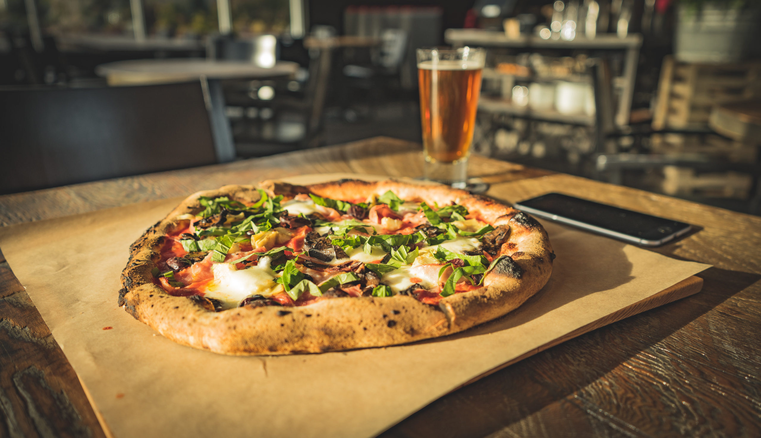
Burnt Field Brewing, Marine Drive Northeast, Boardman, OR, USA
Distance: 23.40 mi (straight line)
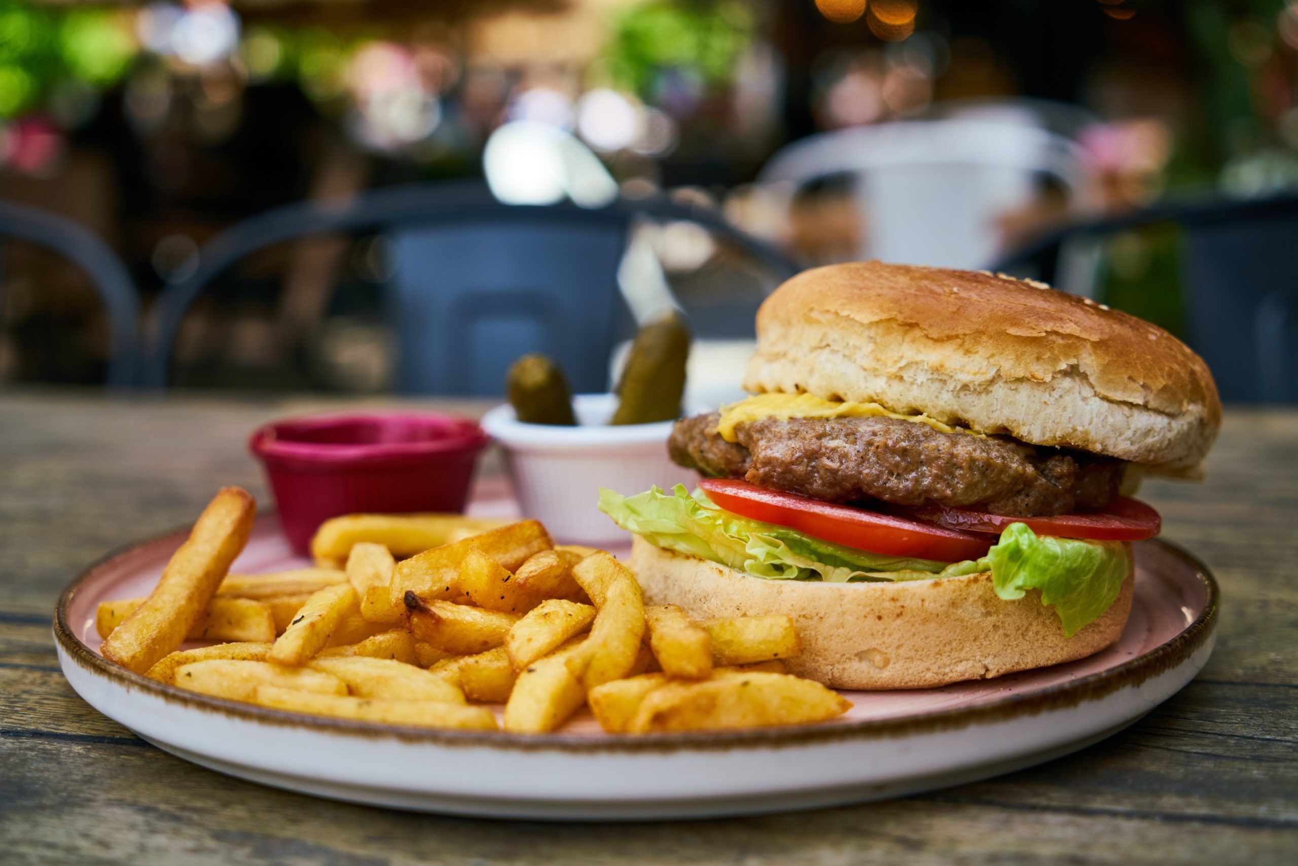
Two Barrels Taps + Grill, Marine Drive Northeast, Boardman, OR, USA
Distance: 23.49 mi (straight line)
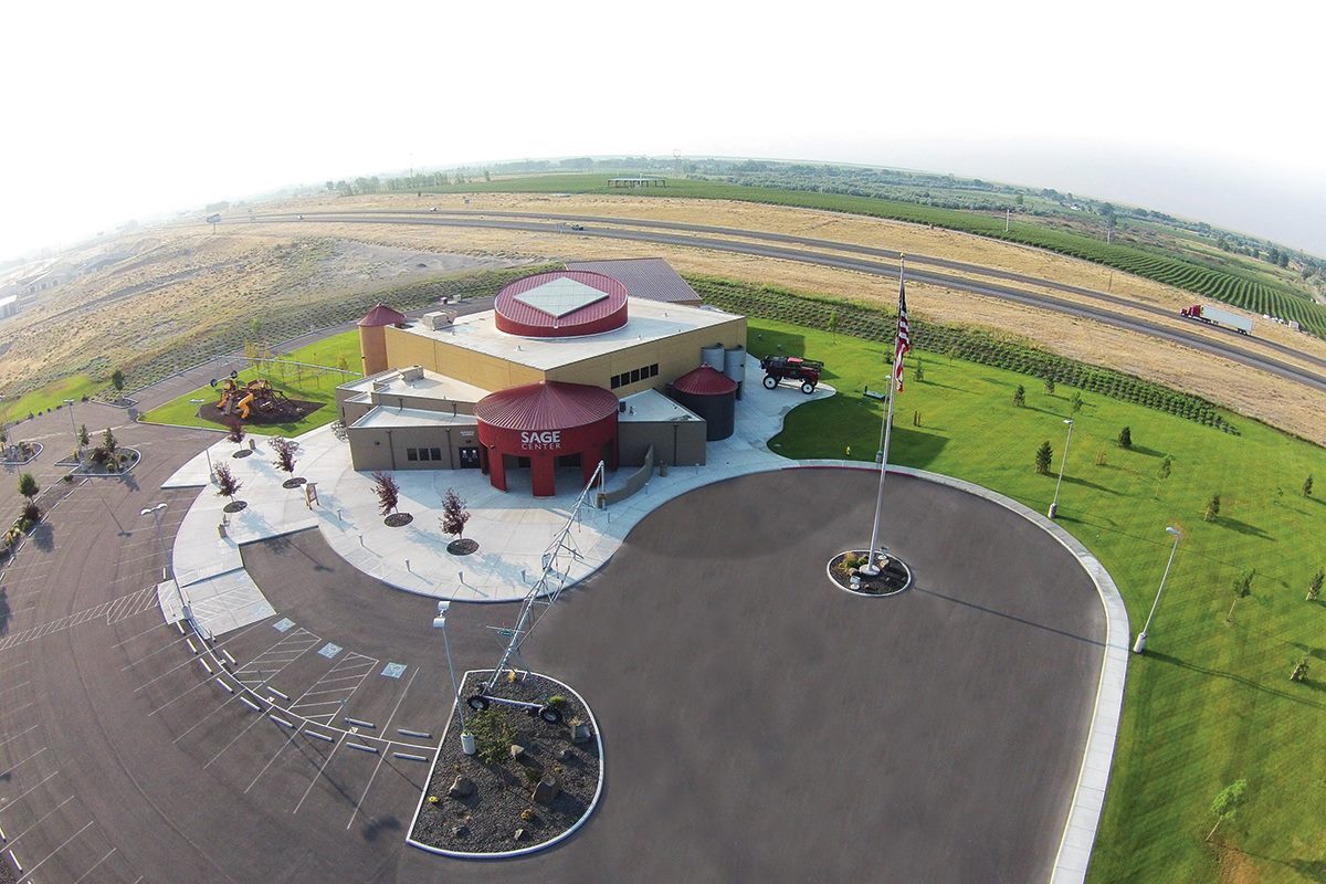
SAGE Center, Olson Road, Boardman, OR, USA
Distance: 23.81 mi (straight line)
Museums and Interpretive Centers
View Listing
The Farmer’s Cup, Laurel Lane, Boardman, OR, USA
Distance: 24.43 mi (straight line)
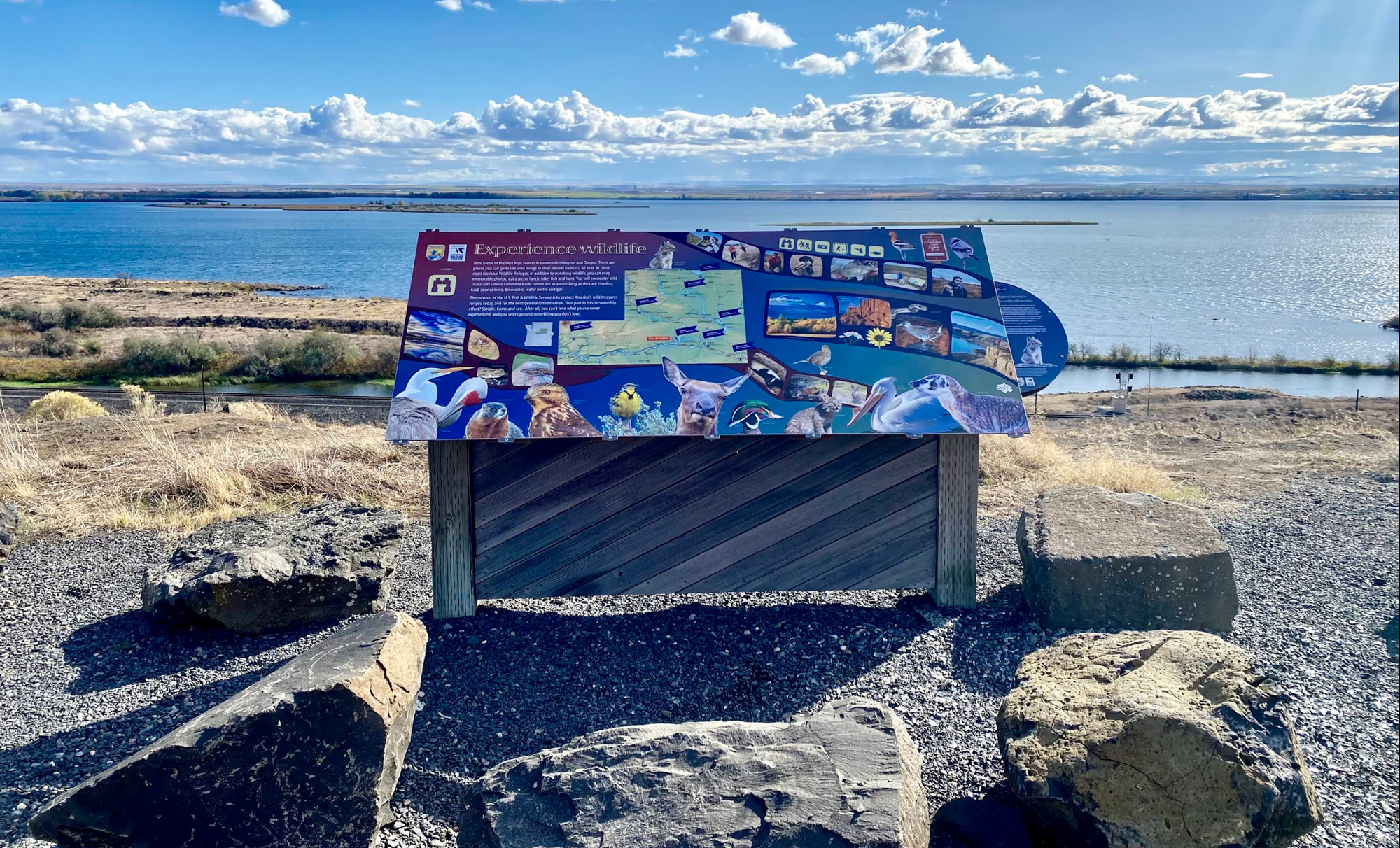
Columbia River Viewpoint, Paterson, WA, USA
Distance: 25.80 mi (straight line)
866 Hwy 141, White Salmon, WA, USA
Distance: 26.69 mi (straight line)
Food and Drinks Outdoor Experiences
View Listing
John Day Dam Road, Rufus, OR 97050, USA
Distance: 27.59 mi (straight line)
Food and Drinks Tribal Experiences
View Listing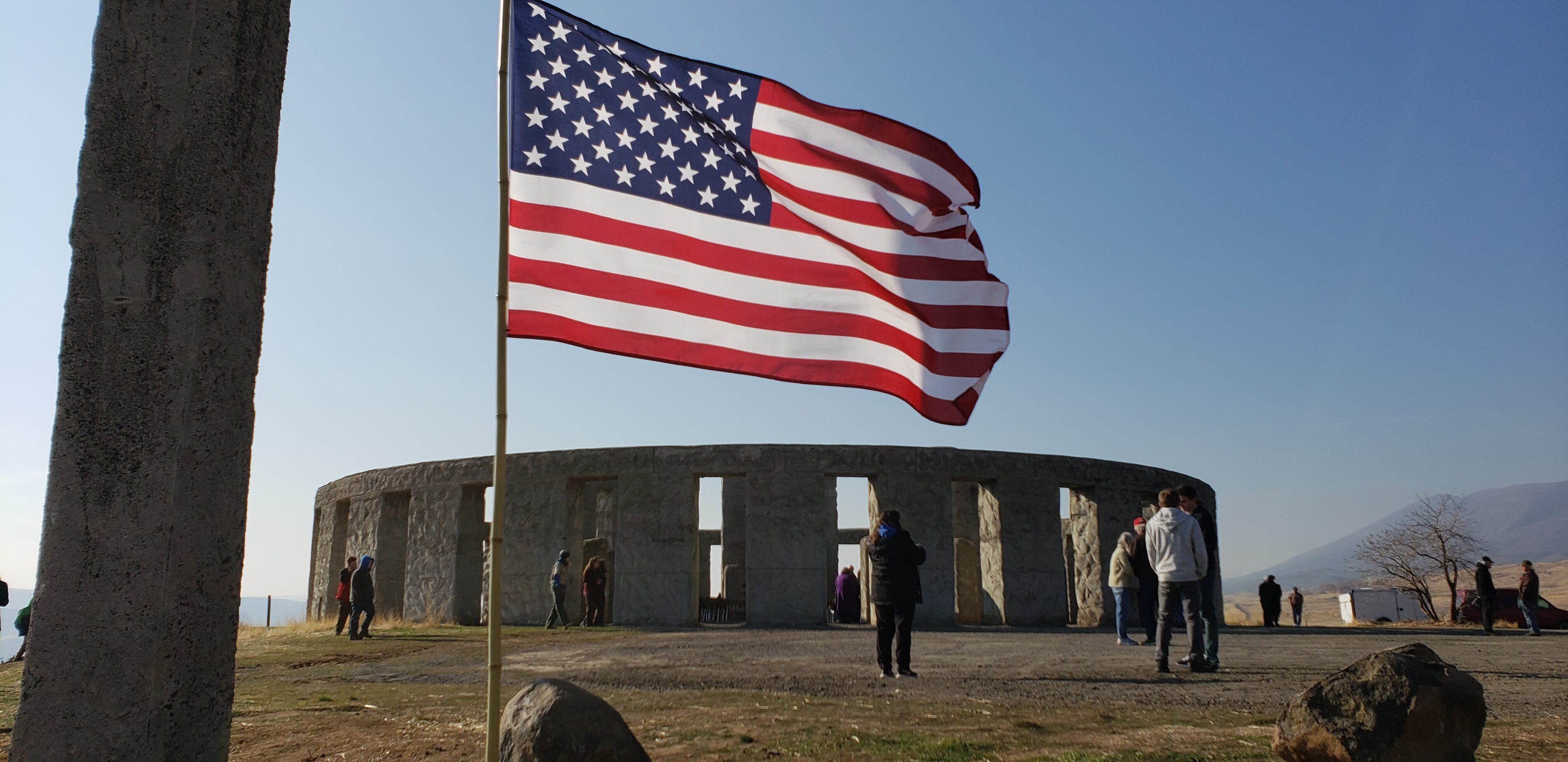
Stonehenge Memorial, Stonehenge Drive, Goldendale, WA, USA
Distance: 31.23 mi (straight line)
Outdoor Experiences Viewpoints Other
View Listing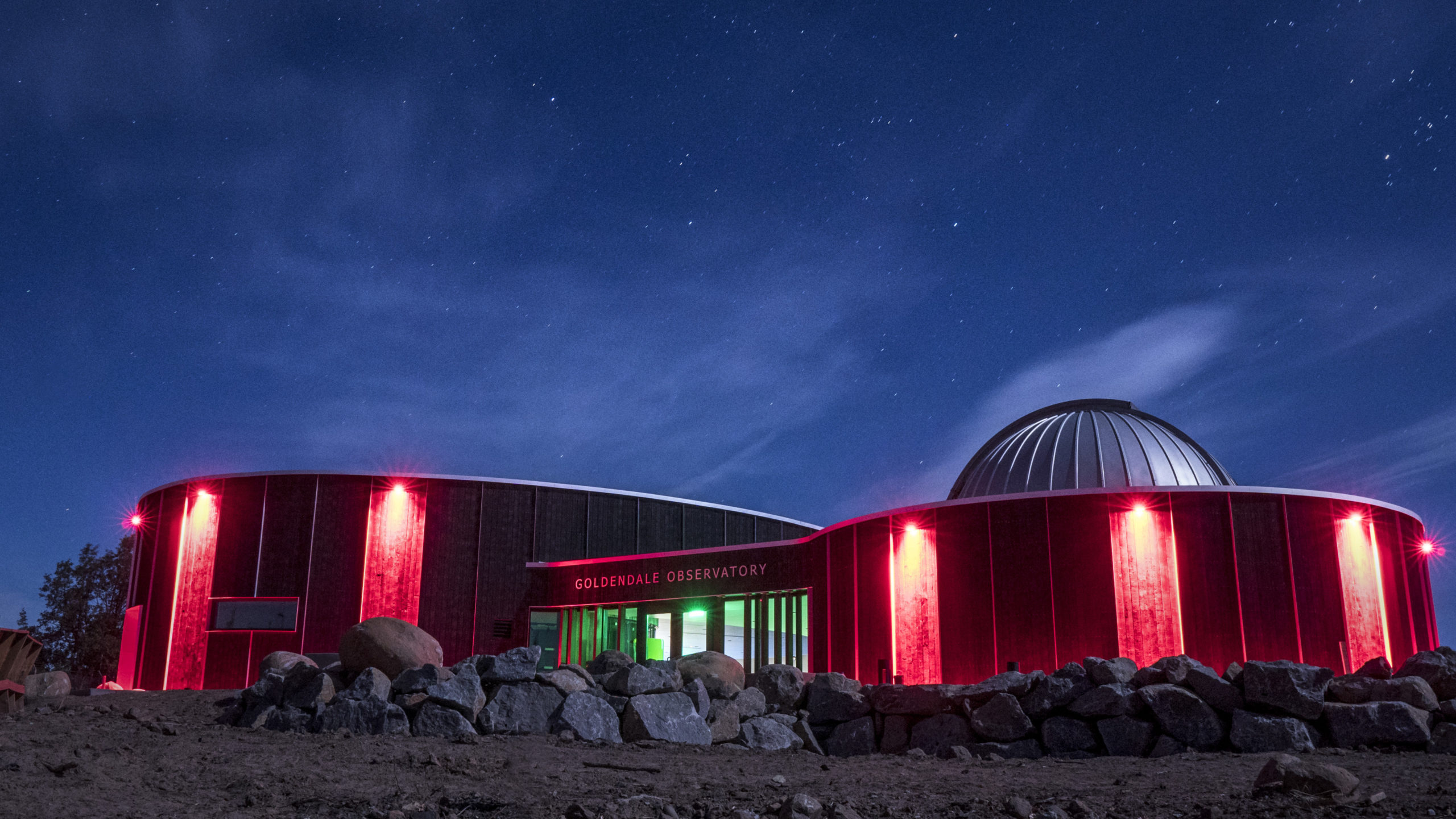
Goldendale Observatory State Park, Observatory Dr, Goldendale, WA, USA
Distance: 31.42 mi (straight line)
Museums and Interpretive Centers Other
View Listing
Maryhill, WA, USA
Distance: 31.68 mi (straight line)
Food and Drinks Tribal Experiences
View ListingOur bi-weekly newsletter provides news, history, and information for those interested in traveling along along the Lewis & Clark Trail.


