Columbia Basin: Confluence Project and Public Works of Art
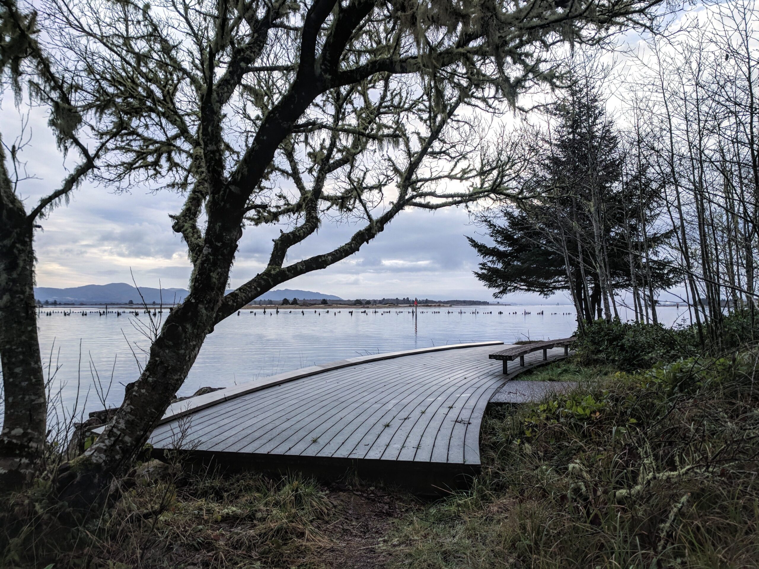

With the Bicentennial of Lewis & Clark and the Corps of Discovery on the horizon, cultural leaders throughout the Columbia Basin contemplated separate public art projects in their various locations. Starting in the year 1999, a gradual consensus formed to work together to create a unified series of artistic installations that would tell a compelling story. The Confluence Project was born.
The artist Maya Lin, creator of the Vietnam War Veterans Memorial in Washington, DC and the Civil Rights Memorial in Montgomery, Alabama among other works, was foremost in the minds of the leaders and over a period of time they convinced her to get involved. She accepted on the day before Thanksgiving, 2000. Lin studied up on Lewis & Clark and the Corps of Discovery, she listened to the stories of tribal elders, she visited potential sites where her works might stand, she examined local materials for use in making them, she took in the rivers, the breezes, the trees, the rocks, the plants, using all her senses for inspiration.
A series of artistic installations would be created and rooted in the landscape at the Pacific Ocean or in proximity to the mouths of the major rivers that flow into the Columbia River. As their website states, “Confluence connects you to the history, living cultures, and ecology of the Columbia River system through Indigenous voices. We are a community-supported nonprofit that works through six art landscapes, educational programs, and public gatherings in collaboration with northwest tribes, communities, and the celebrated artist Maya Lin.”
“This is not about the pristine idea of Native Americans and returning to the land. Fundamentally, it’s about how we treat the land, how we see the land, how we want to own the land . . . . I’m reticent to make an artistic statement calling attention to itself. I want to connect you back to the landscape, make you pay a little closer attention to where you are, maybe who you are.”
Six sites were originally intended to be involved. Five have been completed, some with multiple installations. While the route we will follow will be mostly along the Columbia and Snake Rivers and there are a plethora of Lewis & Clark sites that could be seen, this Inspiration Trip will concentrate on the actual and potential sites included in the Confluence Project as well as several other public works of art located along the way. We will travel from west to east, following a route from the earliest completed Confluence Project installation to the most recent. To get the most out of the experience and to explore further a bit on your own, consider completing this Inspiration Trip in two or three days.
The Maya Lin works are beautiful, thoughtful, harmonious with nature, perhaps surprising at times, often tucked away in corners of otherwise busy areas, occasionally practical and useful in today’s world. They do not call attention to themselves. They are not loud, showy pieces. They have a modest presence, being of the land and local materials. They invite quiet contemplation. Ancient, native voices, a sense of the natural world and the creatures within it, perhaps even a whisper from your own conscience may be present. Take your time and listen to what they may have to say.
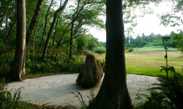
After entering Cape Disappointment State Park, make your way to Waikiki Beach. Park in the lot near the intersection of Fort Canby Road and Jetty Road. Across Jetty Road toward the water lie three installations.
The first may be reached by a path through a secluded grove of cedars. Lin has used driftwood to create columns surrounding a cedar tree trunk that stood there when Lewis & Clark were in the area.
The second is an amphitheater reached by walking down a crushed oyster shell path. Along the way, read a Chinook poem that was recited at the dedication ceremony on November 18, 2005, the 200th anniversary of the arrival of the Lewis & Clark Expedition to the coast.
The third installation is a boardwalk curving its way to the water's edge. This symbolic endpoint to the Lewis & Clark Expedition contains text from the journals highlighting their travels through many native homelands. The walkway was dedicated in May 2006.
7WJR+JM Fort Canby, WA, USA
Chinook Point, Washington, USA
Middle Village - Station Camp (unit of Lewis and Clark National Historical Park), U.S. 101, Chinook, WA, USA
Dismal Nitch, Lewis and Clark Trail Highway, Naselle, WA, USA
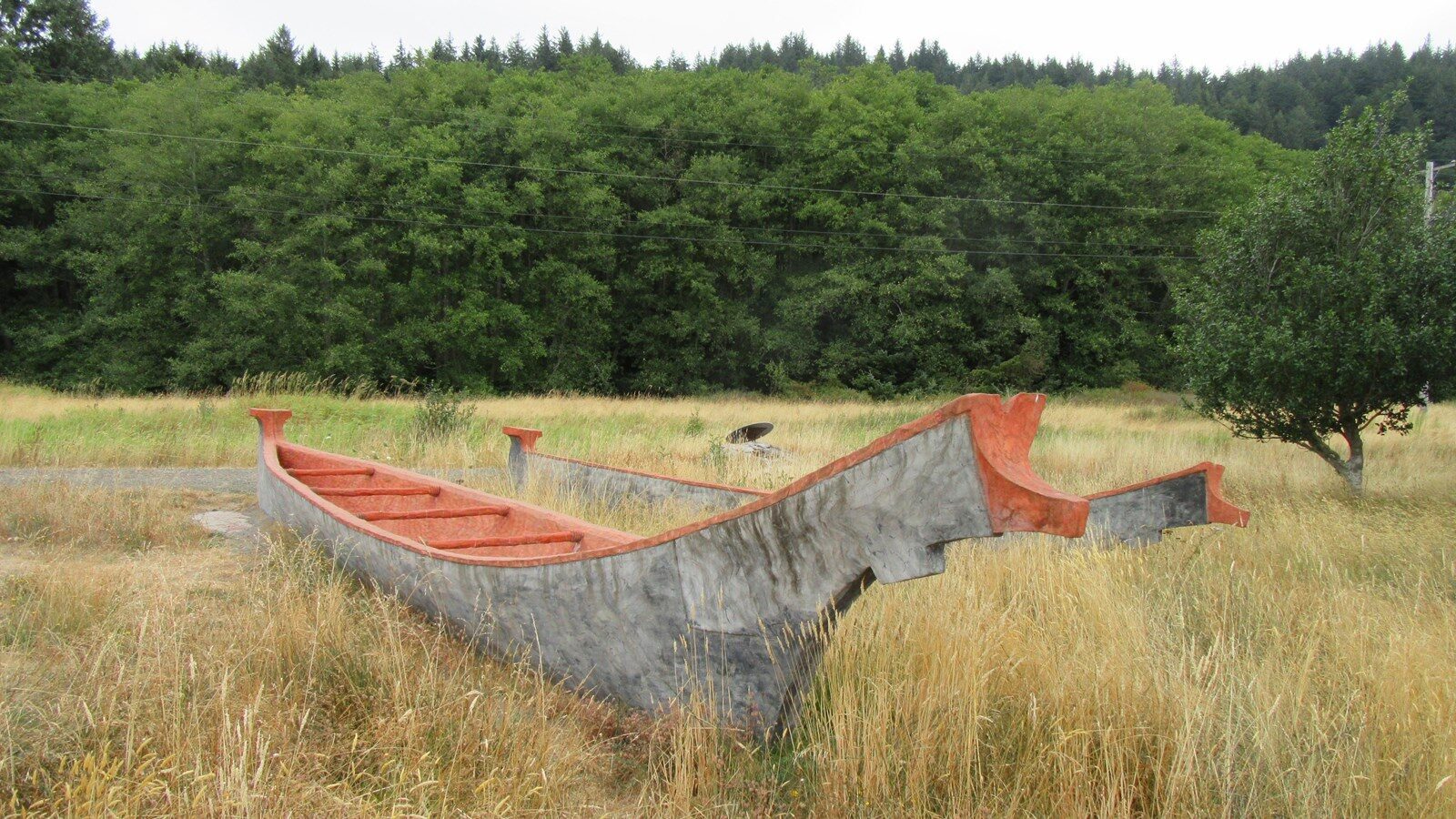
Middle Village - Station Camp (unit of Lewis and Clark National Historical Park), U.S. 101, Chinook, WA, USA
View Listing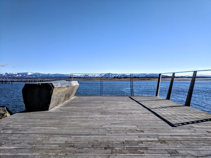
Exit the parking area onto Jetty Road and continue past the Cape D Cafe to the parking area for Baker Bay. Two more Lin installations are nearby. Close to the far pier on the right is the Fish Cleaning Table. Inscribed on it is a Chinook origin story concerning the importance of salmon to the Chinook people. The table is functional and was cut from a single block of basalt.
Facing the bay and the table, walk to your left and stay on the path that leaves the parking lot to the right of the turnaround circle and the restrooms. At the end of the path is an overlook offering an unobstructed view of the water. Quotes from the journals are etched into the platform.
7WPX+W7 Fort Canby, WA, USA
Lewis & Clark Interpretive Center, Robert Gray Drive, Ilwaco, WA, USA
360 Stringtown Rd, Ilwaco, WA 98624, USA
Discovery Trail, Long Beach, WA, USA
Loomis Lake State Park - Pacific Ocean Beach Section, Pacific Way, Long Beach, WA, USA
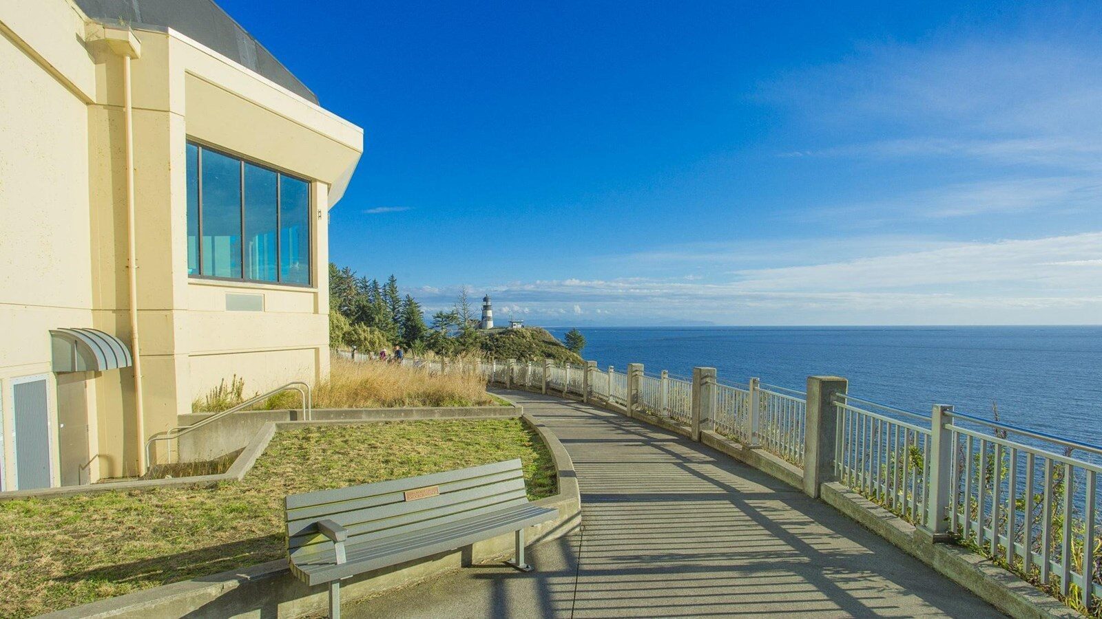
Lewis & Clark Interpretive Center, Robert Gray Drive, Ilwaco, WA, USA
View Listing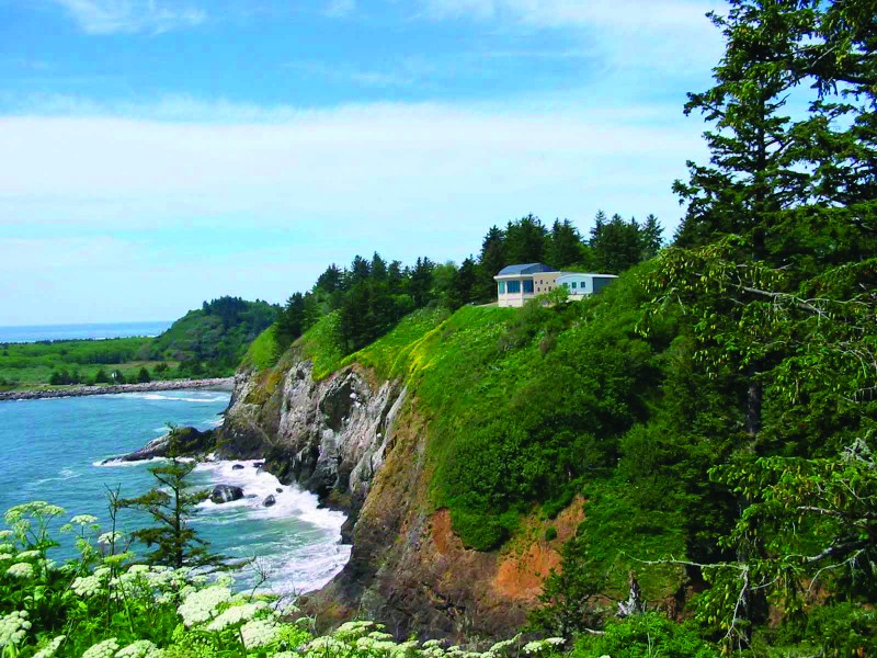
Loomis Lake State Park - Pacific Ocean Beach Section, Pacific Way, Long Beach, WA, USA
View Listing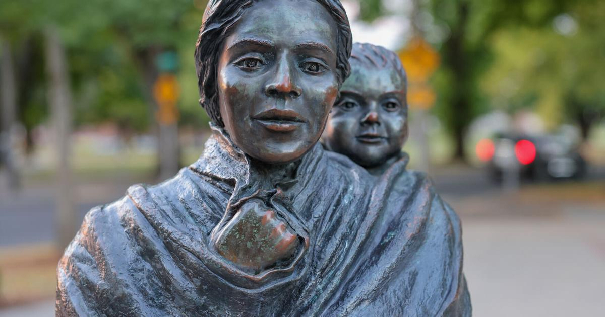
Make your way to Vancouver, Washington but stop in Longview along the way. On the west side of Sacagawea Park, by a lake named for her, stands a statue of the young Shoshone woman and her son, Jean Baptiste Charbonneau. Sculpted by Jim Demetro, it is similar to other sculptures he cast for Fort Clatsop and Darby, Montana. Although erected through local efforts and not a part of the Confluence Project, the Longview sculpture was dedicated in November 2005 in honor of the Bicentennial of the Expedition's arrival at the Pacific Ocean.
Nichols & Harding, Longview, WA 98632, USA
Cathlapotle Plankhouse, Ridgefield, WA, USA
Ridgefield National Wildlife Refuge, Ridgefield, WA, USA
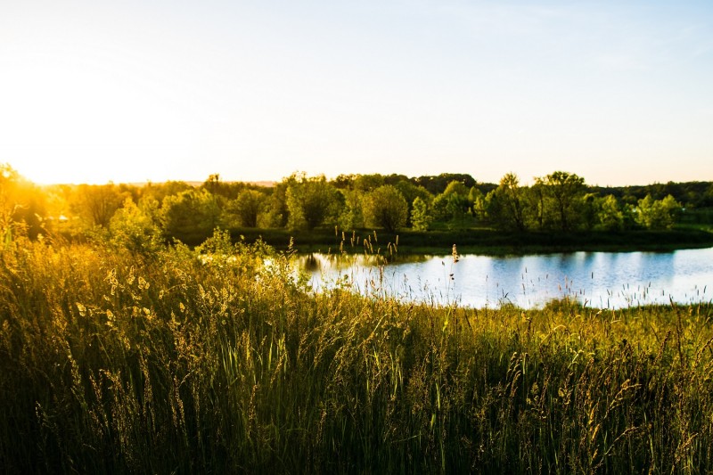
Ridgefield National Wildlife Refuge, Ridgefield, WA, USA
View Listing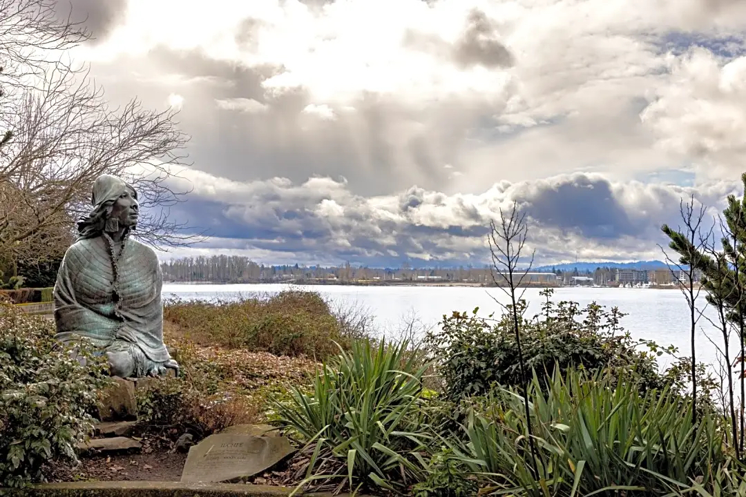
From I-5 in Vancouver, WA, take WA 14 east and then take Exit 1 for Columbia Shores Blvd. Turn south toward the water, drive straight into the parking lot, turn right and park as close to the west side of the lot as possible. Just beyond the lot in a small plaza along the Waterfront Renaissance Trail is a statue of Ilchee (Moon Girl) unveiled by the sculptor Eric Jensen In 1994.
Ilchee was the daughter of Comcomly, a Chinook chief with whom the Corps of Discovery interacted in 1805-06. She was born circa 1799 and first was married to Duncan McDougall, a Scotsman working as the chief factor of John Jacob Astor's Pacific Fur Company trading post established in 1811 at the mouth of the Columbia in present-day Astoria, Oregon. McDougall abandoned her when the fort was sold to the British Northwest Fur Company and the Americans evacuated during the War of 1812. She later wed Chief Casinos, a Chinook living in the Vancouver, Washington area. When their son died, Casinos was said to have blamed Ilchee and planned to kill her. She sought refuge, however, in the Fort Vancouver trading post until she could return to her own people downriver. Native lore states she had the power of a shaman and paddled her own canoe, a sign strength and fortitude. Ilchee's later life and the date of her death are unknown.
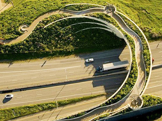
Turn left out of the parking lot onto Columbia Way to head west. Before crossing under the I-5 Bridge, turn into the parking area on the left. Walk on the paved path heading inland and go through the tunnel that leads first to Old Apple Tree Park. The Land Bridge may also be accessed from the other direction (north) via a walk from Fort Vancouver National Historic Site.
Curving over WA 14 and connecting Fort Vancouver National Historic Site with access to the Columbia River, the Vancouver Land Bridge is the most prominent of the works in the Confluence Project. Maya Lin created the overall design but she also relied on the contributions of two skillful collaborators. It was dedicated on August 23, 2008.
Architect and landscape architect Johnpaul Jones, designer of the Museum of the American Indian in Washington, DC, designed the bridge. Visitors first arriving from the river side encounter the Entry Grove and sculptural Welcome Gate. Native hardwood trees represent the original riparian forest, the first of four native ecosystems planted in a continuum from one side of the Bridge to the other. Two crossed cedar canoe paddles atop cedar logs form the Welcome Gate, created by Native artist Lillian Pitt. A cast-glass face of a Lower Columbia River woman is set into the blade of each paddle.
As pedestrians ascend the ramp onto the curved Bridge, they find the first of three overlooks, which each contain a steel Spirit Basket also created by Lillian Pitt. The River Overlook features a view of the river and the land beyond. Native shrubs obscure the highway underneath. Images reminiscent of ancient petroglyphs from the Columbia River Gorge area are cut into the Spirit Basket. The word "River" is inscribed on steel panels in nine different Native languages.
The Prairie Overlook next features plants that represent a dry prairie native ecosystem. Another Spirit Basket by Pitt with different petroglyphic images makes an appearance and the Language Walk contains the word "Land" written in nine different languages.
The Village Overlook likewise boasts the word "People" in nine languages. It looks down on an unexcavated area that contained a village where different ethnic groups dwelt, traded, and mingled.
Vancouver Land Bridge, WA-14, Vancouver, WA 98661, USA
Fort Vancouver National Historic Site | Visitor Center, East Evergreen Boulevard, Vancouver, WA, USA
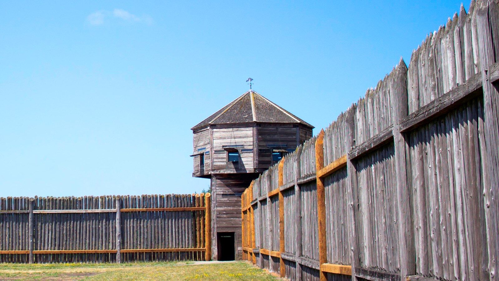
Fort Vancouver National Historic Site | Visitor Center, East Evergreen Boulevard, Vancouver, WA, USA
View Listing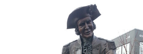
For a little more exercise, take the walking path along the river side of Columbia Way under the I-5 Bridge before returning to your car. Just past the bridge and as the path curves away from the riverfront, on your left will appear the George Vancouver Boat of Discovery Monument. Dedicated on October 31, 1992, the monument honors the contributions Vancouver made to exploring the area.
Either by car or on foot, continue north on Columbia St. to 6th St. and turn left to walk along the edge of Esther Short Park. Near the western corner of 6th and Esther St. stands a Jim Demeter sculpture of the British Captain George Vancouver, namesake of the cities in Washington and British Columbia. Vancouver explored the northwest coast of North America and sent a smaller vessel into the Columbia River up to the Gorge in October 1792, verifying the work of the American sea captain Robert Gray, discoverer of the mighty river. Vancouver was responsible for naming several landmarks in the Pacific Northwest, including Mount Hood, Mount St. Helens, Mount Rainier, Puget Sound and Whidbey Island.
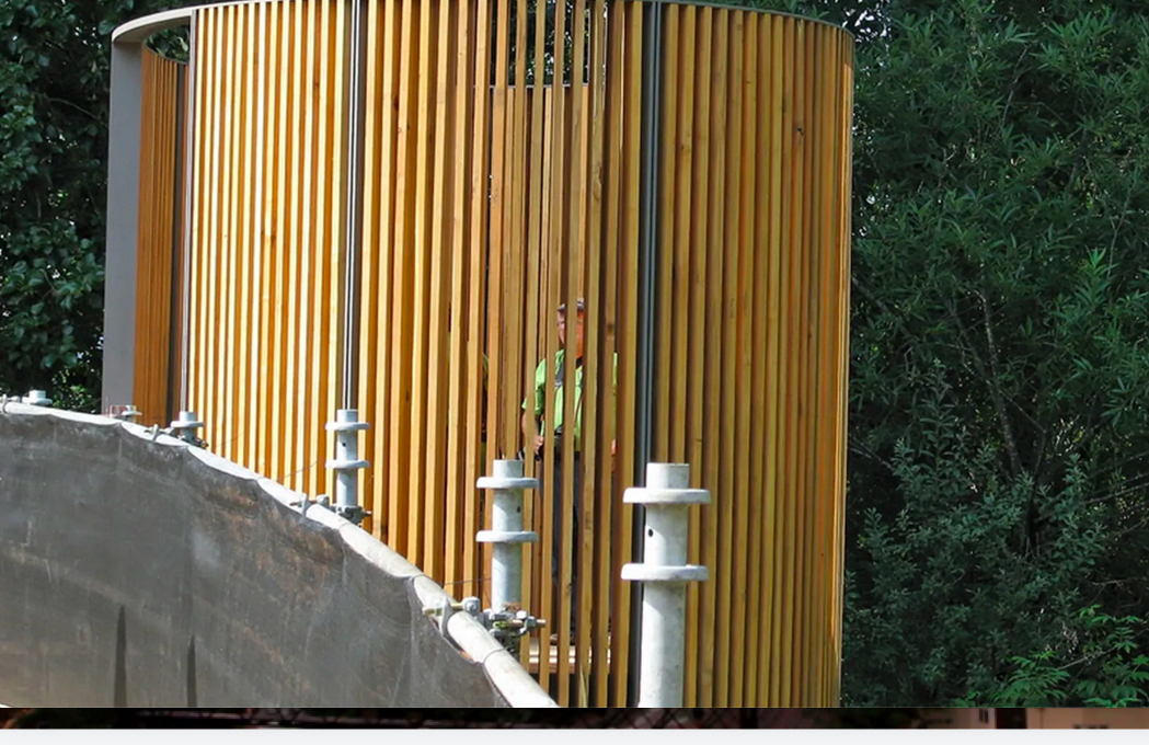
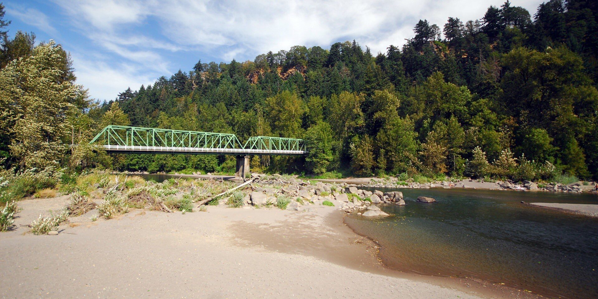
Continue your journey upriver by driving over to the Oregon side. Take I-84 east, Exit 18, go north and turn right into the parking lot for the Sandy River Bird Blind. Various trails lead the hiker on a 2.5 mile round trip walk through a riparian environment in the Sandy River Delta. The gravel path marked "Confluence" provides the easiest and quickest route. Use caution in windy conditions as branches may fall.
At the end of your outward journey, you will be rewarded by a visit to the Bird Blind designd by Maya Lin that is located near a side channel of the river. Constructed as an ellipse out of black locust tree wood, a non-native, invasive species, the blind's vertical wooden slats are inscribed with the name and current status of each of the 134 bird species Lewis & Clark noted on their outbound journey. The Bird Blind was dedicated on August 23, 2008.
GJWF+5X Troutdale, OR, USA
Glenn Otto Community Park, East Historic Columbia River Highway, Troutdale, OR, USA
Sandy River Delta, Thousand Acres Road, Troutdale, OR, USA
Columbia River Gorge National Scenic Area, Oregon, USA
Glenn Otto Community Park, East Historic Columbia River Highway, Troutdale, OR, USA
View Listing
Columbia River Gorge National Scenic Area, Oregon, USA
View Listing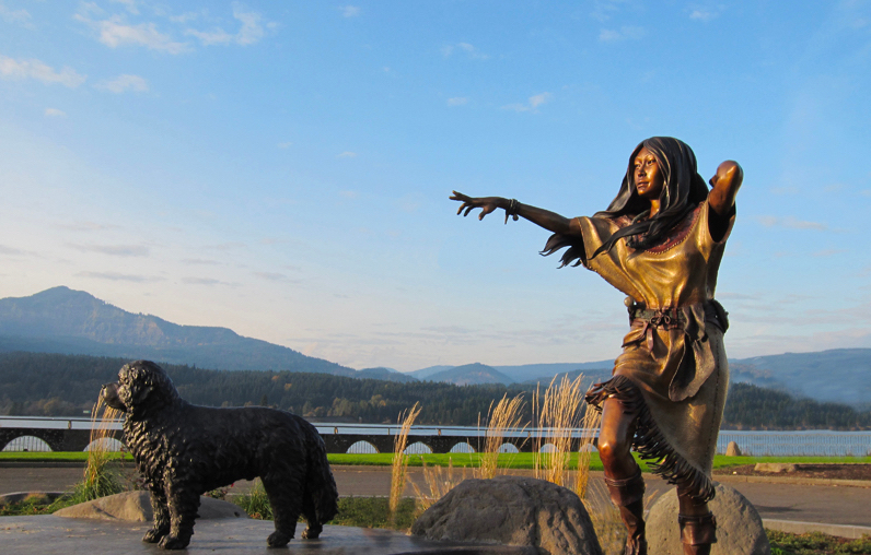
Resume I-84 east. Take Exit 44 onto Cascade Locks Highway, stay straight onto Wa Na Pa St., and follow signs for Marine Park on the left in the town of Cascade Locks, Oregon. Near the visitor center and marina toward the east end of the park stand bronze sculptures of Sacagawea and Seaman facing downriver. Artist Heather Söderberg unveiled her work on April 13, 2011, the 205th anniversary of the Lewis & Clark Expedition's return journey through the area. Picnic tables, interpretive panels, and views of the old river locks, Thunder Island, and the Bridge of the Gods may be seen in the park.
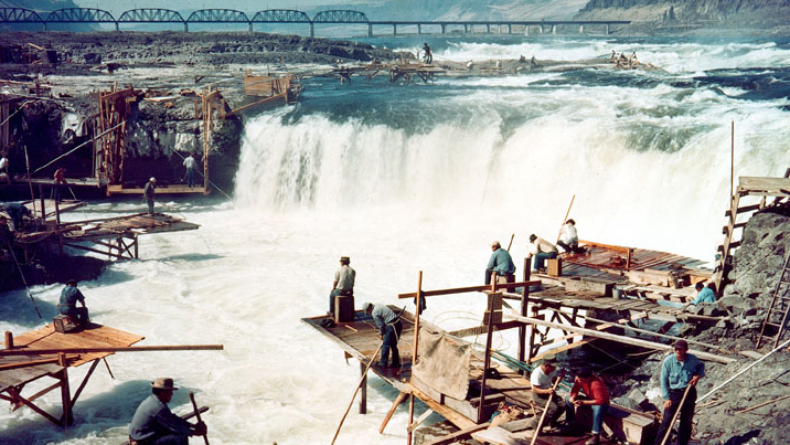
Continue east on I-84. You may want to visit at your discretion some of the various waterfalls that tumble down the cliffs off to your right. To continue on the Confluence Trip, resume I-84 east and take Exit 97. Turn north and cross the railroad tracks. To be located on the west end of the park, this Confluence Project installation has not yet been completed due to opposition from one of the four native tribes with treaty rights to the area.
The Celilo Arc (suh-LYE-low) will comprise a 500 foot long elevated walkway reminiscent of the Native American fishing platforms that once stood here and marked the Celilo Falls as one of the most productive fisheries in the world. Salmon fishing and the trading that stemmed from it took place here for millennia, making this area the longest lasting site of continuous human habitation in North America.
The falls fell silent for the first time ever on March 10, 1957, as water backed up behind the Dalles Dam and formed Celilo Lake, thus inundating the falls.
Celilo Park Rd, The Dalles, OR 97058, USA
The Dalles Dam Visitor Center, Bret Clodfelter Way, The Dalles, OR, USA
Dallesport, WA, USA
The Dalles, Oregon, USA
National Neon Sign Museum, East 3rd Street, The Dalles, OR, USA
Anderson Homestead, West 16th Street, The Dalles, OR, USA
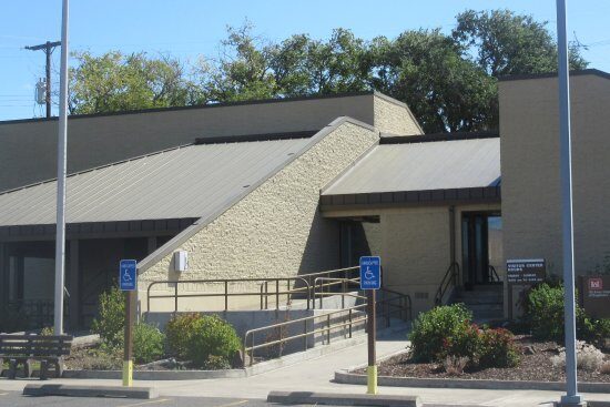
The Dalles Dam Visitor Center, Bret Clodfelter Way, The Dalles, OR, USA
View Listing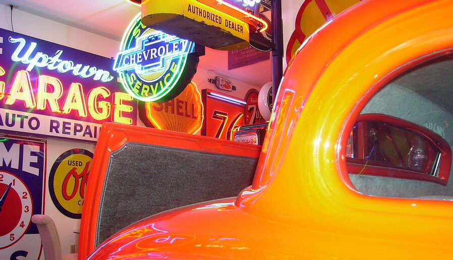
National Neon Sign Museum, East 3rd Street, The Dalles, OR, USA
View Listing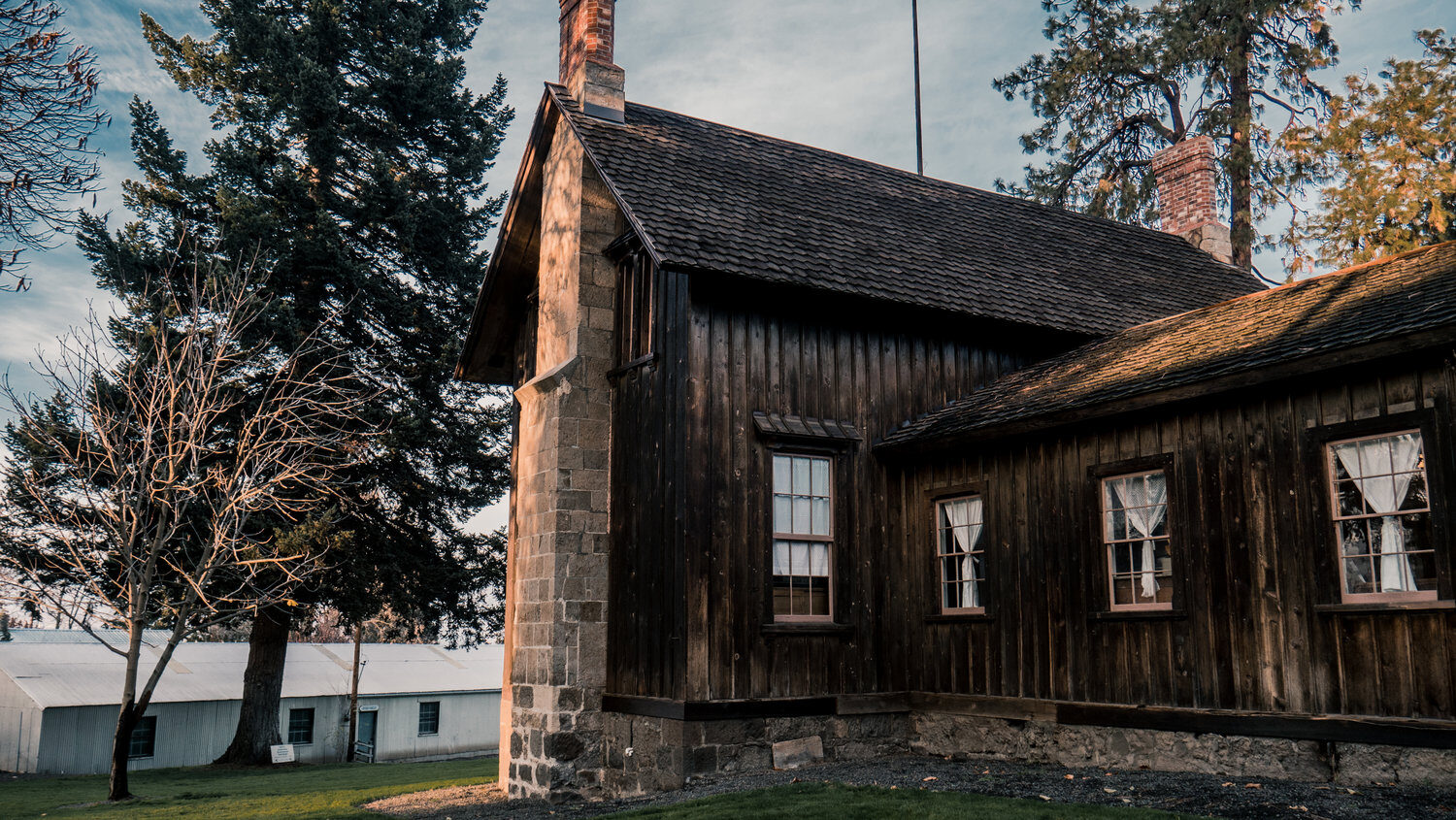
Anderson Homestead, West 16th Street, The Dalles, OR, USA
View Listing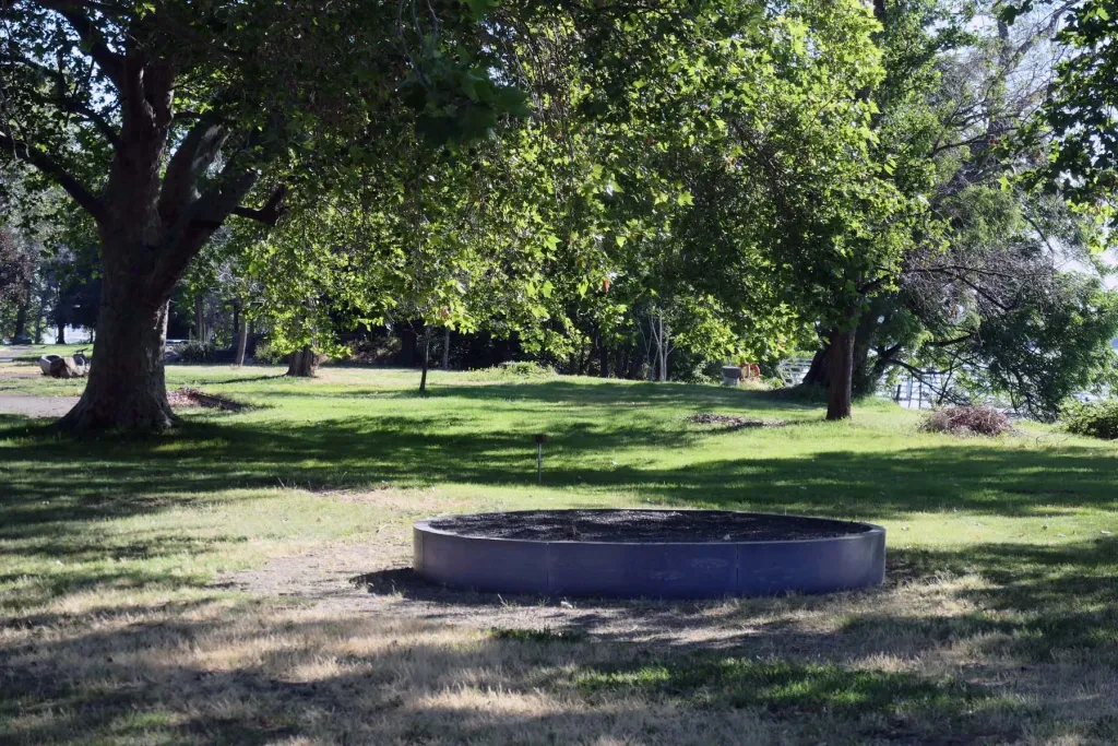
Continue east on I-84, turn onto US 730 east past the town of Boardman, and continue east until entering Washington. Turn left onto US 12 West heading north, cross the Snake River, and look for signs to Sacajawea State Park. Hard by the confluence of the Snake River with the Columbia, seven Story Circles created by Maya Lin and dedicated on August 27, 2010 stand in the park.
The Expedition arrived at this spot on October 16, 1805, and they instantly grasped its significance. They encountered Native people in the area, they realized they had reached the mighty Columbia River, and they knew they were within reach of their long sought destination, the Pacific Ocean.
Some of the polished, black granite Story Circles lie atop the ground while others are placed within it. All relate to the site, whether Yakama tribal stories, quotations for the journals of Lewis & Clark, or referring to local natural history. The blending of these influences on the landscape, in human society, in the mind of the artist, and now in the experience of the visitor, is on full display and made tangible.
Other interpretive features, unrelated to the Confluence Project, dot the landscape throughout the park. A small museum and bookstore also assist the visitor in learning more.
Sacajawea Historical State Park, 2503 Sacajawea Park Rd, Pasco, WA 99301, USA
1943 Columbia Park Trail, Richland, WA, USA
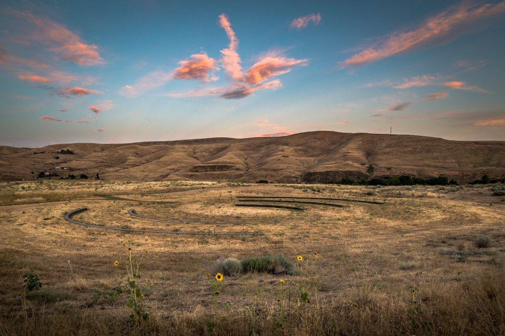
Take US 12 East for 115 miles. Situated on Silcott Island a few miles downstream from the confluence of the Snake and Clearwater Rivers, the Listening Circle in Chief Timothy Park is the easternmost installation in the Confluence Project.
Maya Lin created an unassuming series of three concentric arcs facing each other north and south that were inspired by a Nez Perce blessing ceremony she witnessed there. The dry and rocky character of the surrounding terrestrial landscape has changed little from the time of the Corps of Discovery's visit in the fall of 1805. From above, the basalt arcs resembled ripples on the water found in the adjacent Snake River.
Dedicated on May 29, 2015, the Listening Circle invites travelers to take a few moments to slow down and attune their senses to the breezes, aromas, colors and sounds of the surroundings.
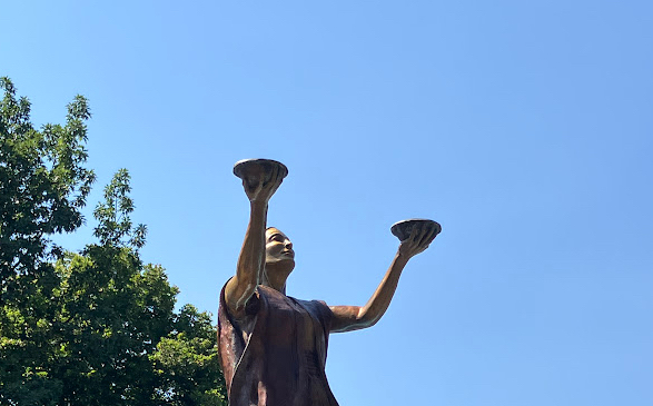
Continue your journey eastward into Lewiston, Idaho, the endpoint for this Inspiration Trip. Works of art and sites related to Lewis & Clark and the Corps of Discovery abound in the environs of Lewiston and its companion city of Clarkston, Washington, so consider spending a day or two here. We will visit only the most prominent work of art, but see the Lewiston Public Art Inspiration Trip to view others.
Located in Pioneer Park, the Sacagawea Fountain was unveiled in 1911 after fundraising by a group of 27 women forming the Tsceminicum Club. The four coyotes represented in the basin eventually deteriorated, and plumbing problems caused the water to be shut off in 1960. A replica of the original fountain’s concrete statue and new bronze coyotes created by J. Shirley Bothum were installed in 1990. The original Sacajawea sculpture now resides in the Nez Perce County Museum.
206 5th St, Lewiston, ID 83501, USA
800 Main Street suite 4, Lewiston, ID 83501, U.S.
Nez Perce County Historical Society, 3rd Street, Lewiston, ID, USA
Lewis & Clark Discovery Center, Hells Gate Road, Lewiston, ID, USA
17500 Nez Perce Road, Lewiston, ID 83501, USA
Nez Perce National Historical Park Visitor Center, U.S. 95, Lapwai, ID, USA
Nez Perce Wallowa Homeland Visitor Center and Tamkaliks Celebration grounds, East 2nd Street, Wallowa, OR, USA
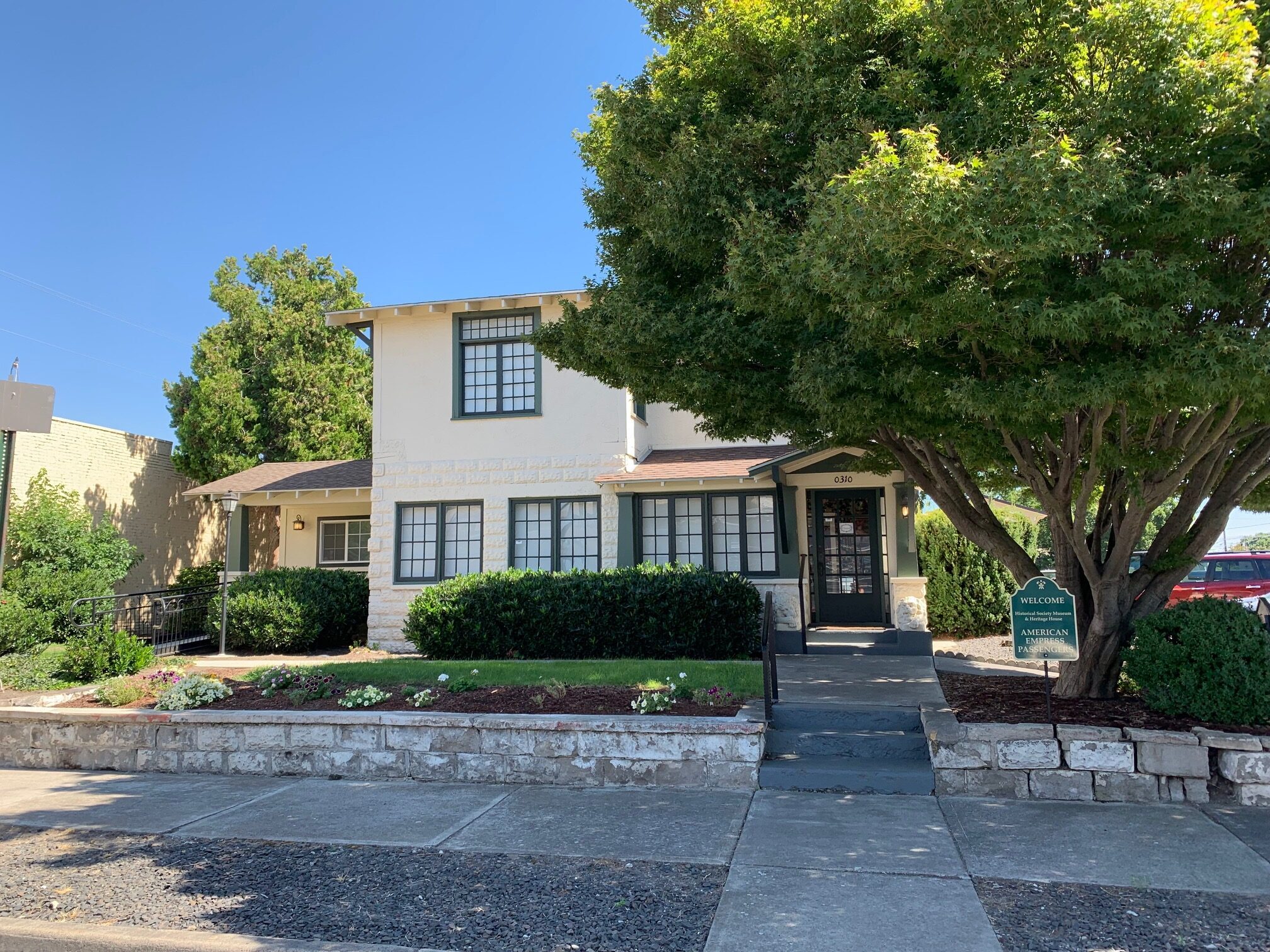
Nez Perce County Historical Society, 3rd Street, Lewiston, ID, USA
View Listing
Lewis & Clark Discovery Center, Hells Gate Road, Lewiston, ID, USA
View Listing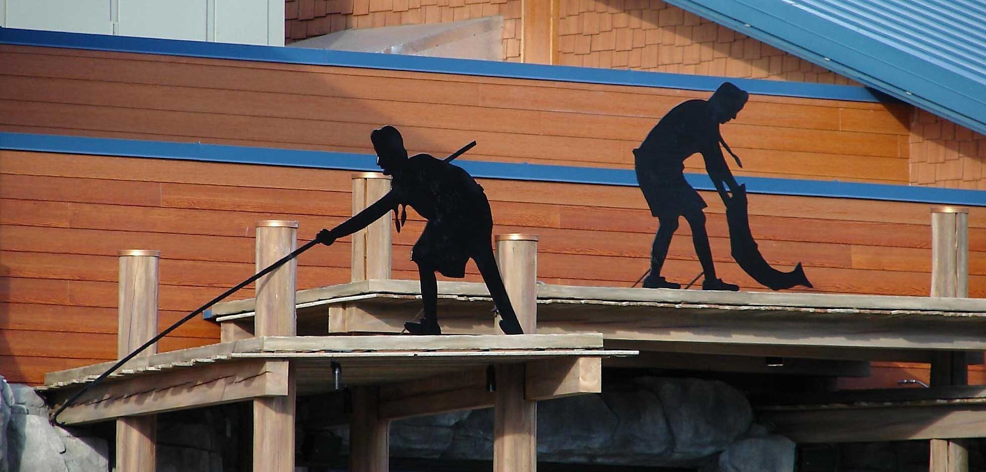
17500 Nez Perce Road, Lewiston, ID 83501, USA
View Listing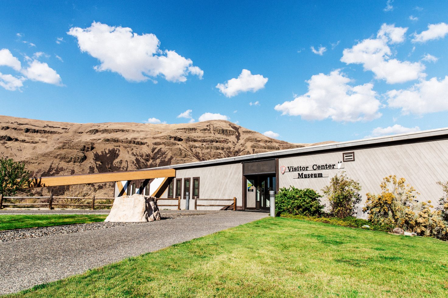
Nez Perce National Historical Park Visitor Center, U.S. 95, Lapwai, ID, USA
View Listing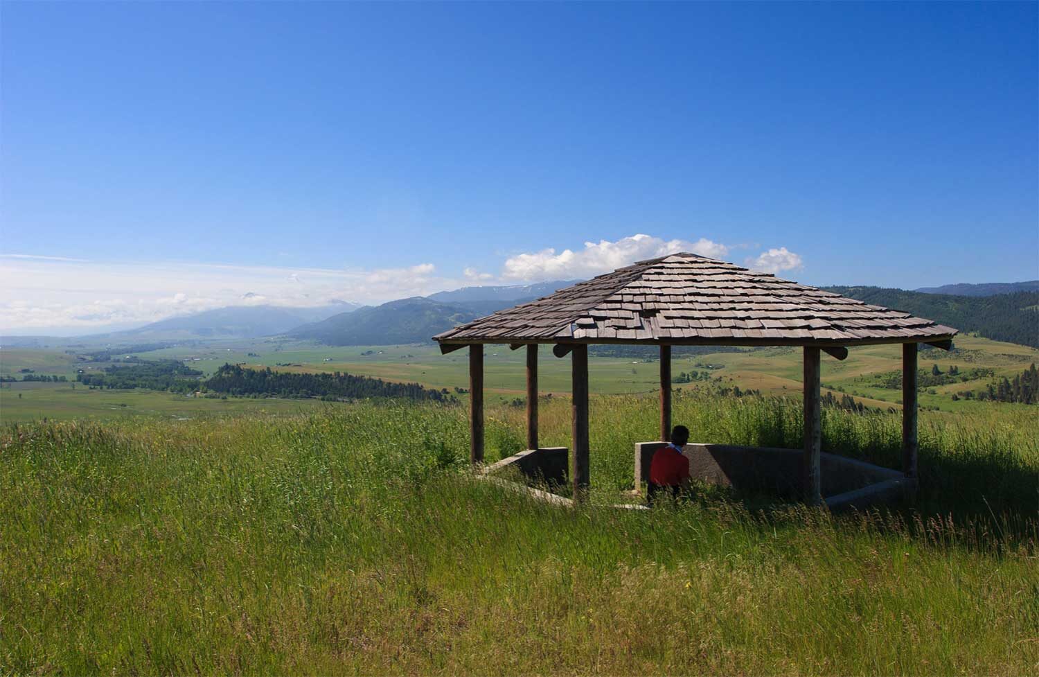
Nez Perce Wallowa Homeland Visitor Center and Tamkaliks Celebration grounds, East 2nd Street, Wallowa, OR, USA
View Listing