Great Northern Route 6: Washington and Oregon to Portland

The Lewis & Clark Expedition disproved the existence of an easy, river-based Northwest Passage through the middle latitudes of North America. In the decades to follow, the Oregon Trail, the Pony Express, and various stagecoach routes allowed for difficult, dangerous, and time consuming travel by land across the continent. Not until after the Civil War was safe, reliable, quick, and relatively inexpensive transcontinental travel available in the form of railroads. The first route through the central part of the country ran well south of the northern area near the Canadian border. Once the final spike was hammered down in the Cascade Range near Scenic, Washington on January 6, 1893, the dream of James J. Hill, “The Empire Builder,” was realized with completion of the Great Northern Railway. The Mississippi River at the Twin Cities of Minneapolis-St. Paul, Minnesota was now effectively united with the Pacific coast at Everett and Seattle, Washington via the most northerly American rail route. A man-made Northwest Passage was now a reality.
A related secondary line, the Spokane, Portland, and Seattle (SP&S) Railway, split off in eastern Washington and ran southwest to follow the Columbia River valley to eventually reach the coast. The final spike in the SP&S was driven at Sheridan Point, about a mile downriver from today’s Bridge of the Gods, on March 11, 1908. On November 5, 1908, Hill was among the pioneers to cross the first bridge across the lower Columbia, traveling from Vancouver, Washington to Portland, Oregon.
Hill had purchased a line on the Oregon side of the river in 1907 that ran from Portland through Astoria to Seaside. Another line he developed, the Oregon Trunk Railway, began operation in 1912 and crossed the Columbia at Wishram via the Oregon Truck Rail, or Celilo, Bridge, on its way to Bend, Oregon. Hill acquired at least three other railroad lines in the area and all were amalgamated into numbered subdivisions of the SP&S.
The SP&S Railway tracks ran along the route Lewis & Clark and the Corps of Discovery took and served as a convenient means for early travelers to visit locations associated with the pioneering 1803-06 Expedition. In 1925 and 1926, the Great Northern Railway and SP&S conducted tours that unveiled several monuments to commemorate important people, places and events along the route. We are in the centennial era of this tour.
This leg primarily covers the secondary, more southerly SP&S route from a Great Northern Monument in Wishram, Washington and across the Columbia into Oregon. See additional Great Northern Route itineraries to travel east of this area and the Great Northern Route 7 trip to continue to the Pacific Coast.
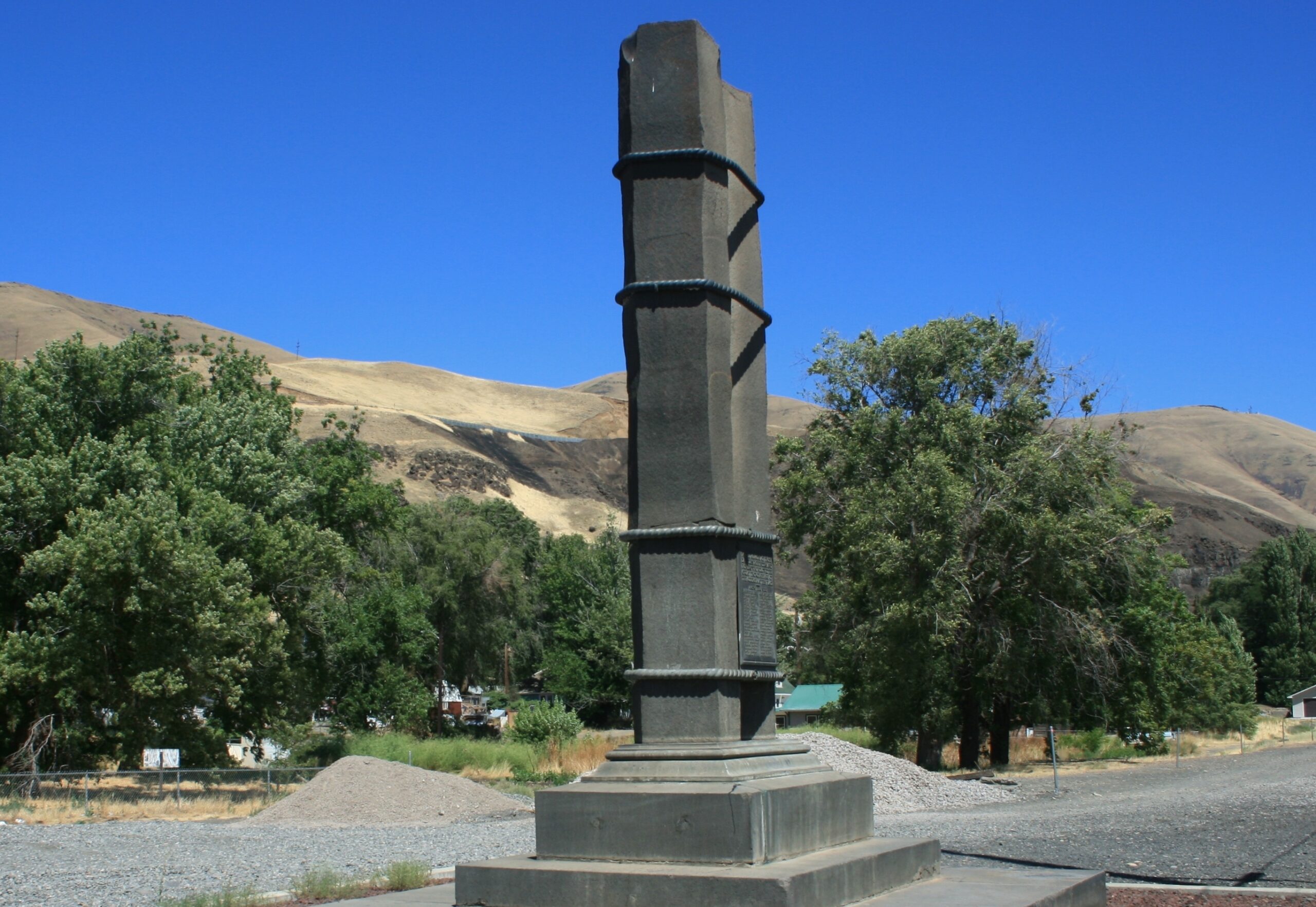
Great Northern President Ralph Budd unveiled this monument on July 20, 1926, and he took it upon himself to use the occasion to change the name of the surrounding town as well. Fallsbridge became Wishram, a native word meaning, "people who never moved," referring to local pictographs. Nearby Celilo (Seh-LYE-low) Falls provided a sonic backdrop as the names of 43 "dauntless pathfinders and pioneers" who had come down the Columbia were revealed, with Lewis & Clark leading the list, followed by David Thompson. The monument evokes the hexagonal shape of the basalt columns that predominate in the Columbia Gorge.
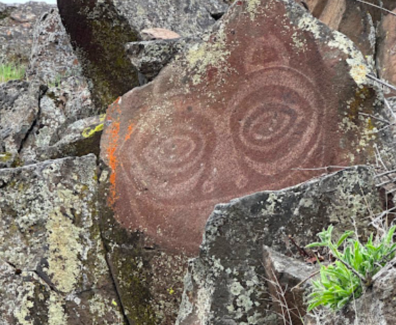
View a display of petroglyphs and pictographs on a self-guided tour at the Temani Pesh-Wa in the Horsethief Lake section of Columbia Hills Historical State Park. The National Historic Site is open during daylight hours April-Oct.
JVRV+7W Dallesport, WA, USA
Riverfront Trail, The Dalles, OR, USA
Rock Fort, The Dalles, OR, USA
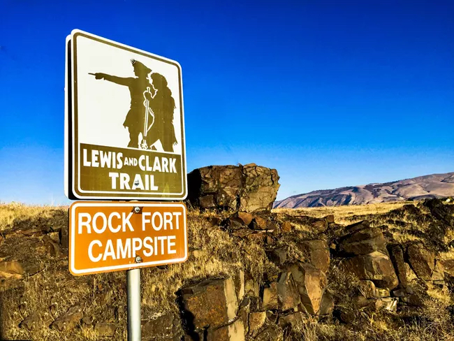
Cross over into Oregon on the The Dalles Bridge and take US 30 west through the town of The Dalles (rhymes with pals) to a Lewis and Clark Expedition site along the Columbia called Rock Fort Camp. After negotiating a series of difficult rapids on the way down the river, the Expedition spent three nights, making observations, repairing canoes, hunting, and interacting with various tribes. They also camped on the way back on April 15, 1806, aiming to acquire horses and other items. In his inimitable way, Clark wrote, “we arivied at the enterance of Quinnett Creek which we assended a Short distance and Encamped at the place we had Called rock fort Camp.”
The Dalles is the site of the longest continuously populated place in North America due to the historical presence of Celilo Falls and the trading opportunities it afforded. The falls now lie under the water backed up in Celilo Lake by the Dalles Dam. On March 10, 1957, the falls fell silent.
JR46+QV The Dalles, OR, USA
National Neon Sign Museum, East 3rd Street, The Dalles, OR, USA
KLINDT’S BOOKSTORE
The Dalles Art Center, East 4th Street, The Dalles, OR, USA
Gorge Wine Library, East 2nd Street, The Dalles, OR, USA
Dallesport, WA, USA
Anderson Homestead, West 16th Street, The Dalles, OR, USA
The Dalles, Oregon, USA
Cousins' Country Inn, West 6th Street, The Dalles, OR, USA
The Dalles Dam Visitor Center, Bret Clodfelter Way, The Dalles, OR, USA
Columbia Gorge Discovery Center & Museum, Discovery Drive, The Dalles, OR, USA
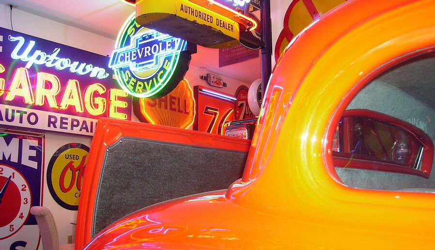
National Neon Sign Museum, East 3rd Street, The Dalles, OR, USA
View Listing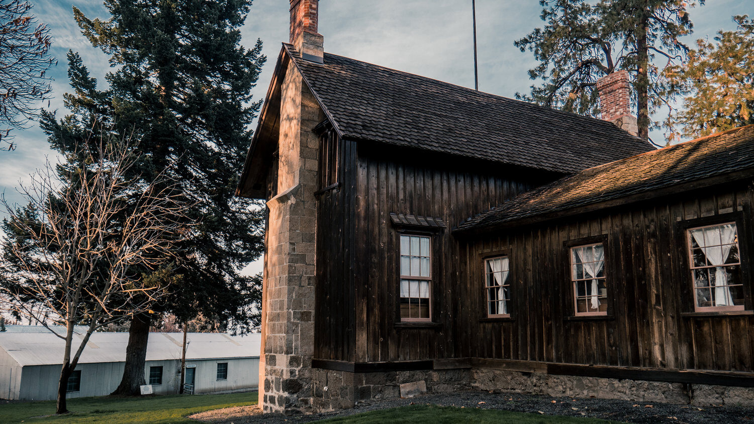
Anderson Homestead, West 16th Street, The Dalles, OR, USA
View Listing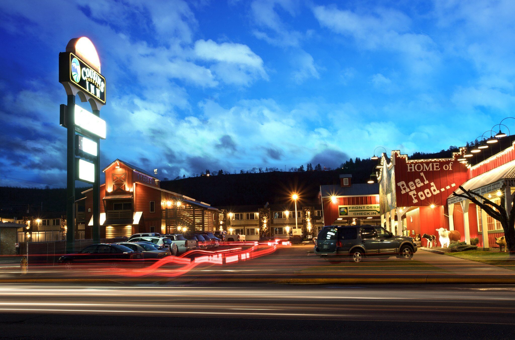
Cousins' Country Inn, West 6th Street, The Dalles, OR, USA
View Listing
The Dalles Dam Visitor Center, Bret Clodfelter Way, The Dalles, OR, USA
View Listing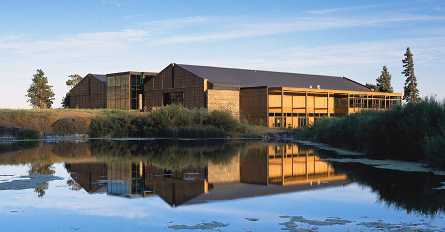
Columbia Gorge Discovery Center & Museum, Discovery Drive, The Dalles, OR, USA
View Listing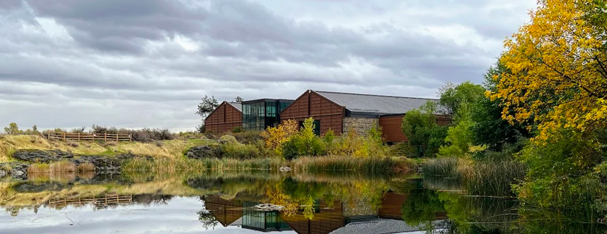
Visit the official interpretive center of the Columbia Gorge National Scenic Area. Of particular note is the display of the Cargo of Lewis and Clark.
5000 Discovery Dr, The Dalles, OR 97058, USA
Rowena Crest Viewpoint, Historic Columbia River Highway, Mosier, OR, USA
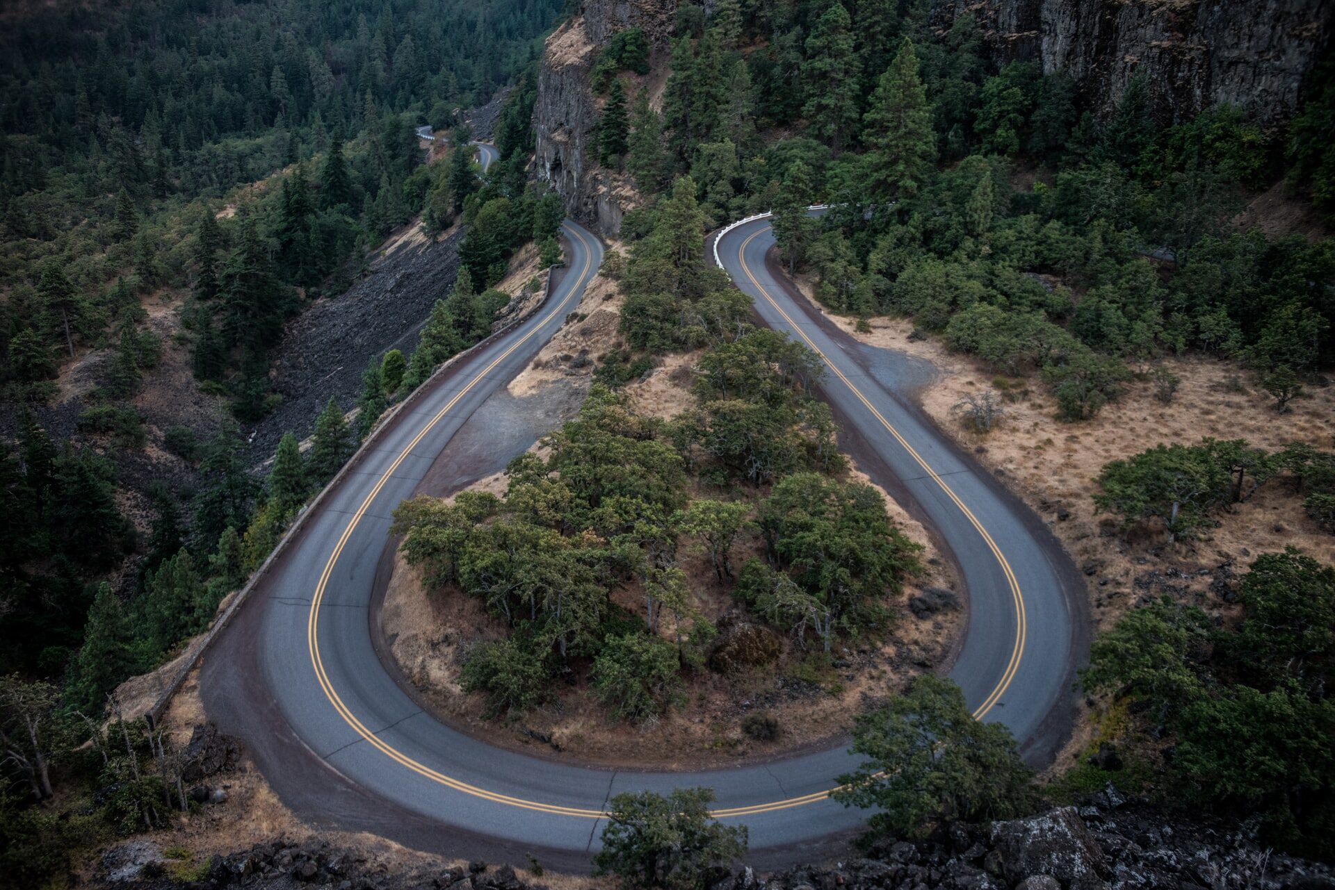
Rowena Crest Viewpoint, Historic Columbia River Highway, Mosier, OR, USA
View Listing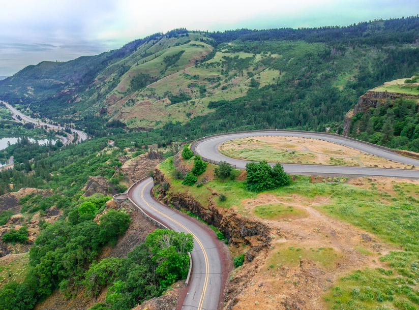
Take the road less traveled and soak in the stunning view from atop Rowena Crest along the historic Columbia Gorge Highway. Hiking trails are also available.
If the traveler wishes to more closely trace the route of the SP&S and to see Beacon Rock up close, cross back into Washington on the Hood River Bridge and continue west on WA 14 to the next stop. Otherwise, stay on the Oregon side and make your way west to Multnomah Falls to resume this tour below.
Beacon Rock was originally named "Beaten Rock" by William Clark but it was changed on the return trip. He never learned the Indian name, Che-che-op-tin, “the navel of the world.” In later years, it was termed "Castle Rock." In 1915, the 848' high rock was acquired by Henry J. Biddle, a distant relative of Nicholas Biddle, the editor of the first edition of the Lewis & Clark journals. Shortly thereafter, the U.S. Board of Geographic Names fixed the name as Beacon Rock. Henry's heirs donated it to the State of Washington in 1935 for use as a state park.
A hiking trail named for Biddle with a 680' elevation gain and 17 switchbacks snakes up the rock. The 1.8 miles up and back trail affords beautiful views up and down the river.
Beacon Rock Trail, Stevenson, WA 98648, USA
Beacon Rock State Park, Washington 14, Stevenson, WA, USA
Beacon Rock Golf Course Restaurant, Grenia Road, North Bonneville, WA, USA
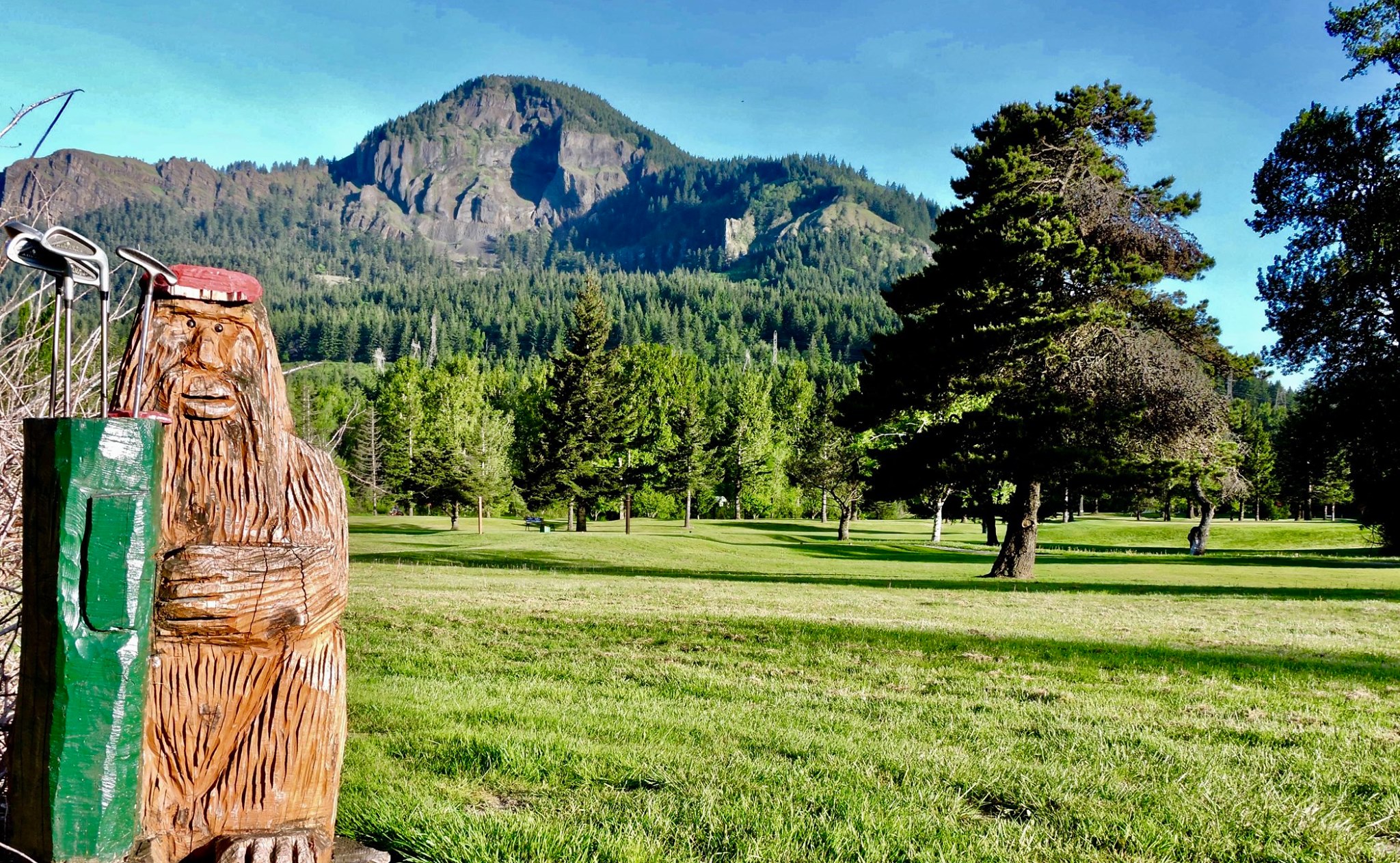
Beacon Rock Golf Course Restaurant, Grenia Road, North Bonneville, WA, USA
View Listing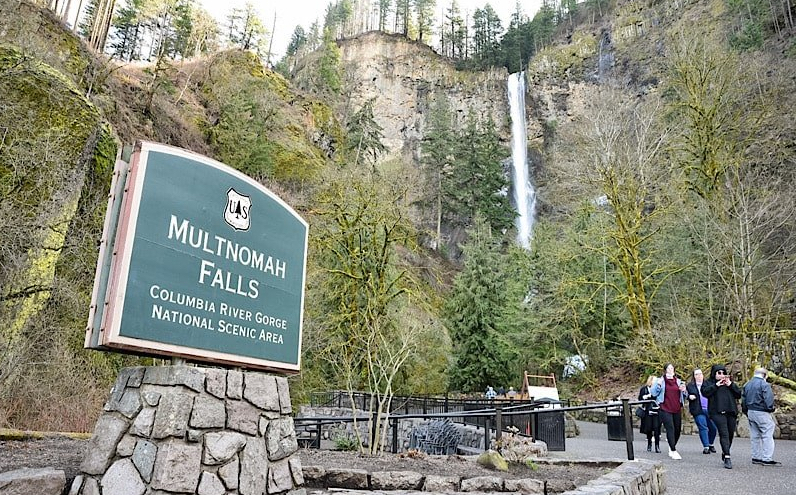
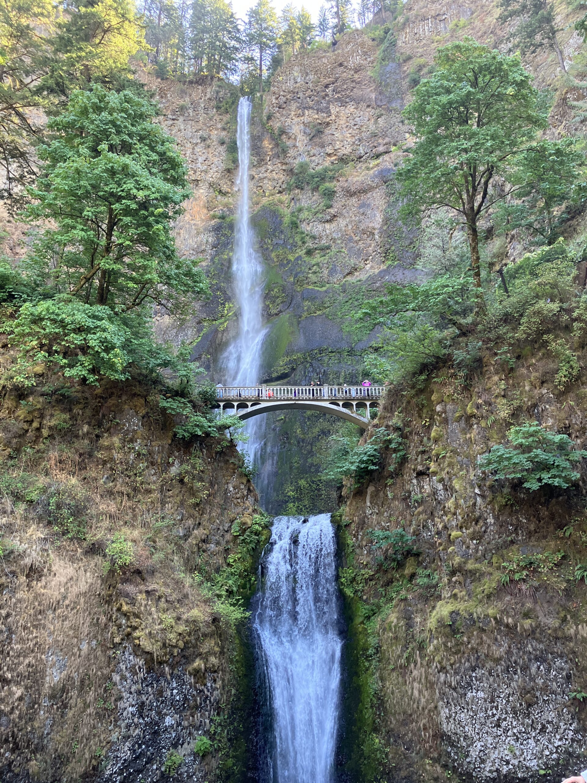
No visit to the Columbia Gorge would be complete without a stop at Multnomah Falls. At 620', it is considered the second tallest, year-round waterfall in the US after Yosemite Falls in California. A gift shop and restaurant complement paths that provide a great view of the falls from three different levels.
The parking lot is accessed directly off I-84 and a walkway safely takes visitors to the falls area.
The Columbia River Historical Expedition visited the falls on July 20, 1926 after touring Fort Vancouver on the north bank, which was the site of Hudson's Bay Company fur post established in 1824. It is now a National Historic Site and is open for visitation.
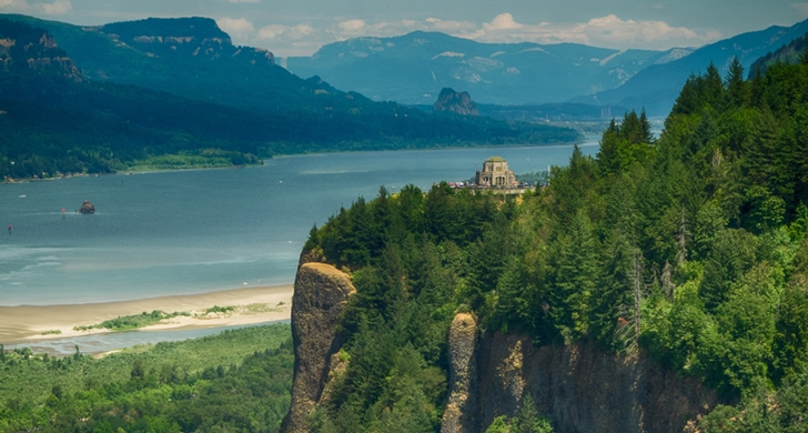
Designed by Edgar M. Lazarus and opened in 1918, Vista House has a spectacular view of the Columbia Gorge. It overlooks Rooster Rock, which the Lewis and Clark Expedition noted on its way to the Pacific. Beacon Rock is also in the distance.
40700 Hst Columbia River Hwy, Corbett, OR 97019, USA
Vista House, Historic Columbia River Highway, Corbett, OR, USA
Portland Women's Forum State Scenic Viewpoint, Historic Columbia River Highway, Corbett, OR, USA
Columbia River Gorge National Scenic Area, Oregon, USA
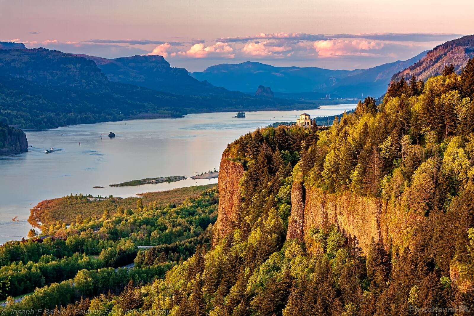
Portland Women's Forum State Scenic Viewpoint, Historic Columbia River Highway, Corbett, OR, USA
View Listing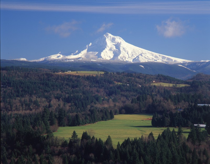
Columbia River Gorge National Scenic Area, Oregon, USA
View Listing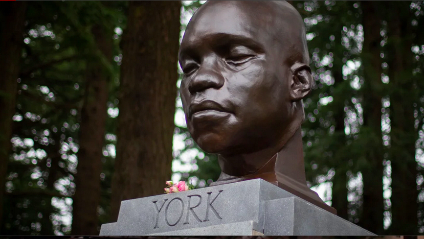
A bust of York was placed on the plinth of a statue of an early Oregon newspaper editor that was toppled on October 20, 2020. York mysteriously appeared on February 20, 2021.
A description placed on the plinth read:
"York
The first African American to cross North America and reach the Pacific Coast.
Born into slavery in the 1770s to the family of William Clark, York became a member of the 1804 Lewis and Clark Expedition. Though York was an enslaved laborer, he performed all the duties of a full member of the expedition. He was a skilled hunter, negotiated trade with Native American communities and tended to the sick. Upon his return east with the Corps of Discovery, York asked for his freedom. Clark refused his request.
The date and circumstances of his death are unclear."
The bust itself or plinth was defaced three times before being toppled on July 28, 2021. The artist, Todd McGrain, remained unknown until after the bust was removed. Made of perishable materials and painted to look like metal, McGrain offered to recreate it in bronze but nothing has come of it.
This stop is meant to get the traveler into Portland to enjoy what the city has to offer.