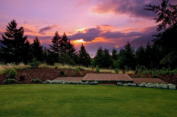
The Columbia River Gorge
The Washington Side
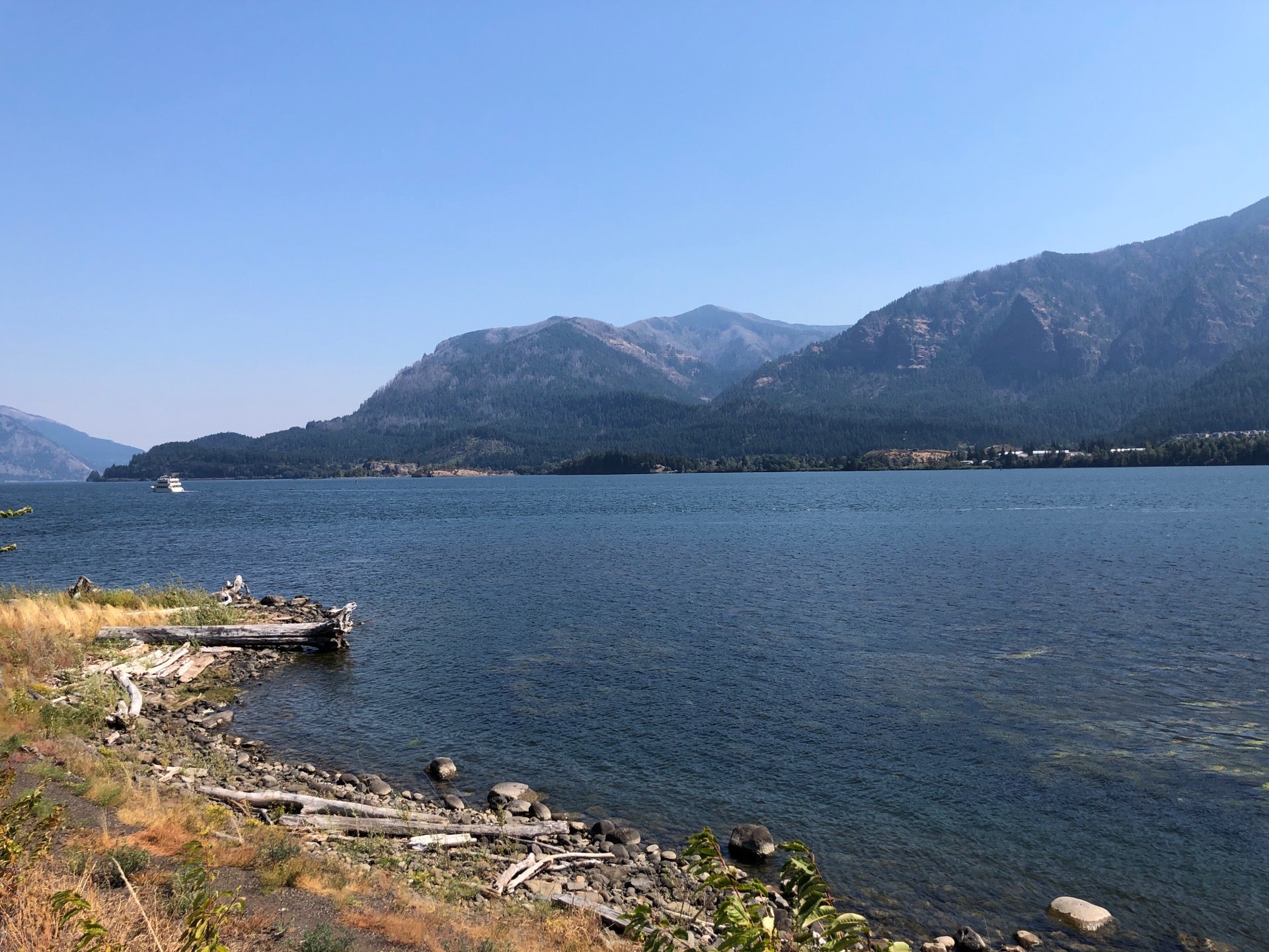
Ignore the traffic and crowds on the Oregon side of “The Gorge” and instead, follow the quieter, two-lane “Lewis and Clark Highway” (WA State Highway 14) on the Washington side of the Columbia Gorge National Scenic Area. Stop at viewpoints, enjoy short hikes, immerse yourself in history at the Columbia Gorge Museum in Stevensville, or savor the wines and art at Maryhill Museum of Art.
Find Gorge-ous waterfalls such as Cape Horn Falls and Rodney and Hardy Falls on the Hamilton Mountain loop. Both Upper Rock Creek Falls and Dog Creek Falls are within 0.1 miles of the closest parking spot. In the spring, find the best wildflowers at Dog Mountain, Coyote Wall, and Catherine Creek Day Use Area.
End your trip at the Maryhill Museum of Art surrounded by stellar Columbia River wineries. You can then continue to the Tri-cities, turn around, or head back to the Portland-Vancouver metro area via Interstate 84.
You can combine this trip with our inspiration trip on the Oregon side. Shorter loops can be created by crossing the Columbia River at Cascade Locks, Hood River, or The Dalles.
You may also like our L&C Travel Magazine!
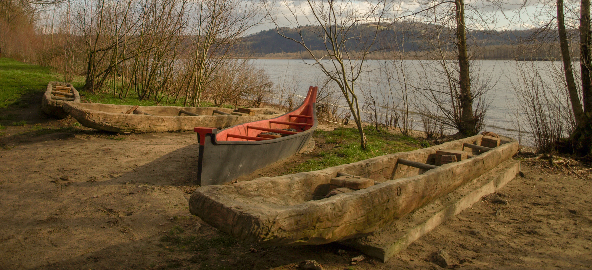
Referred to by some historians as “Provision Camp” the Lewis and Clark Expedition stayed at Cottonwood Beach near present Washougal, Washington from 31 March to 5 April 1806. While there, they laid in a store of dried “jerked” meat, Clark went up the Willamette River, and others explored the Sandy River.
About this site, Meriwether Lewis wrote:
“we determined to remain at our present encampment a day or two for the several purposes of examining quicksand [Sandy] river making some Celestial observations, and procuring some meat to serve us as far as the falls or through the Western mountains where we found the game scarce as we decended.—”
(Lewis, 31 March 1806)
The park has rest rooms, access to the river trail, interpretive signs, and with a large assortment of replica dugout and Chinookan-style canoes, the visitor easily imagines that they are actually visiting the expedition’s Provision Camp.
For more of the story, visit our educational website, Discovering Lewis & Clark:
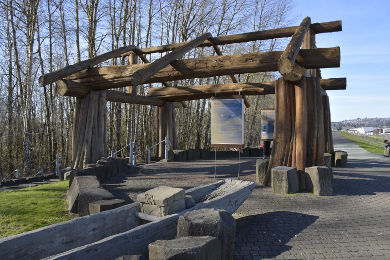
Captain William Clark Park, Index Street, Washougal, WA, USA
0 mi
View Listing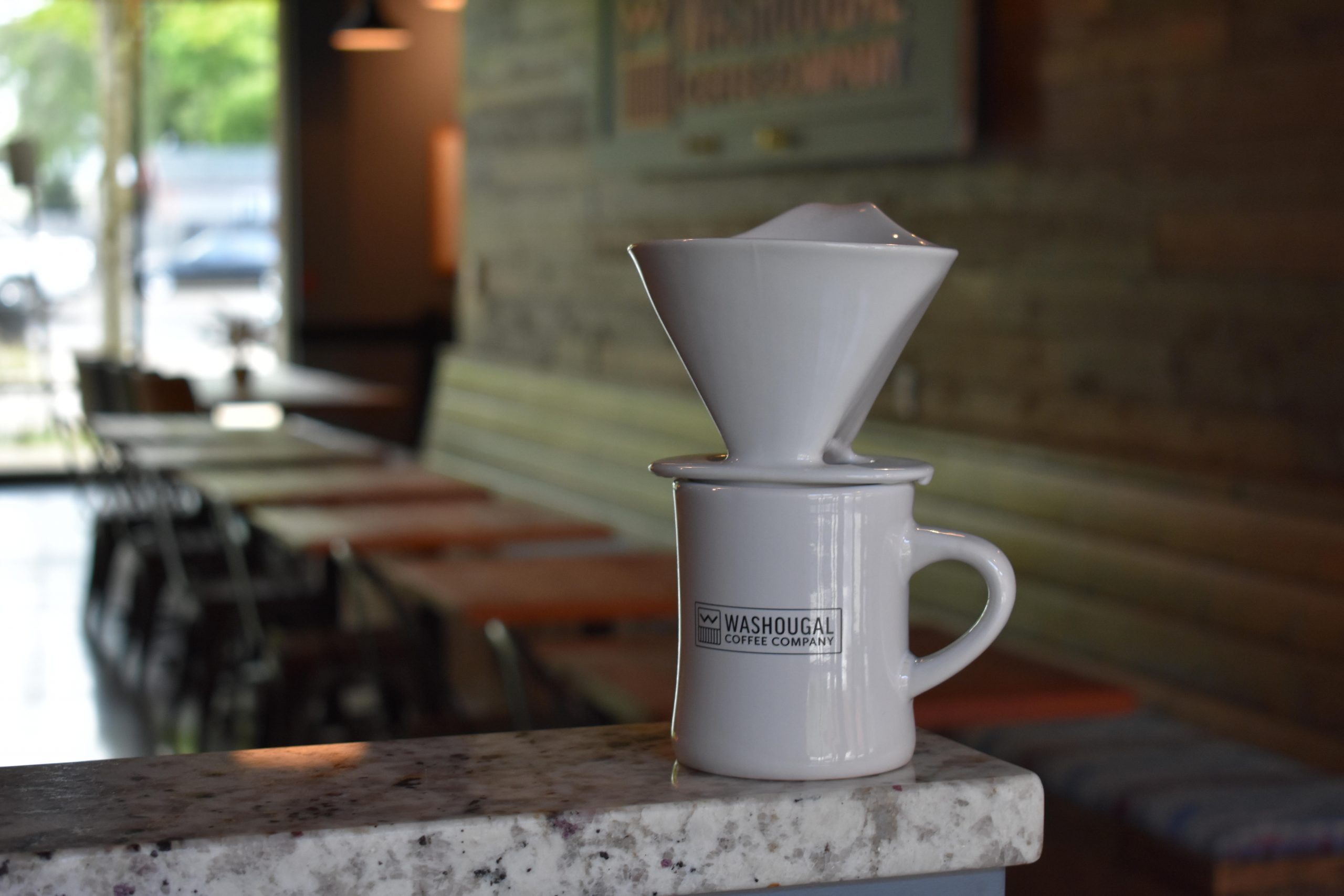
Washougal Coffee Company, Main Street, Washougal, WA, USA
1 mi
View Listing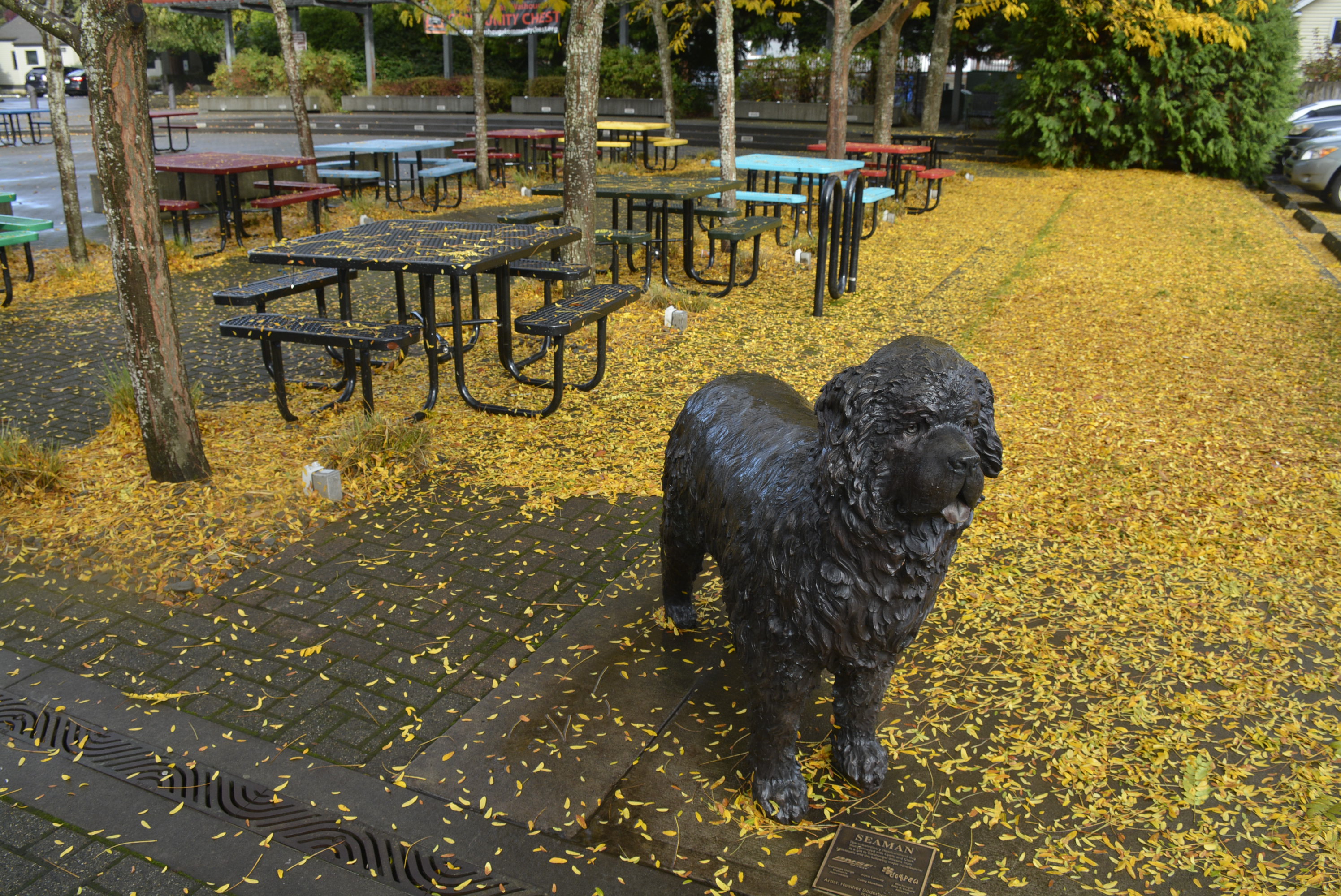
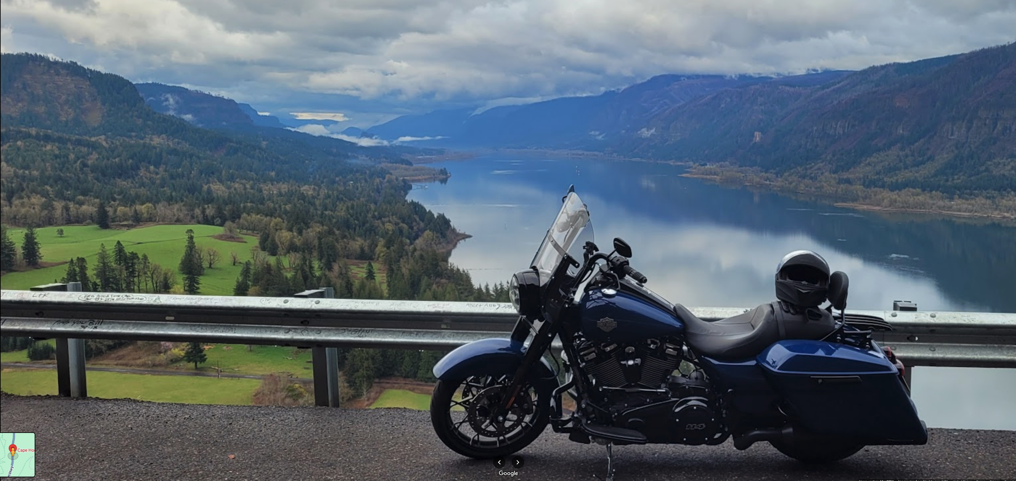
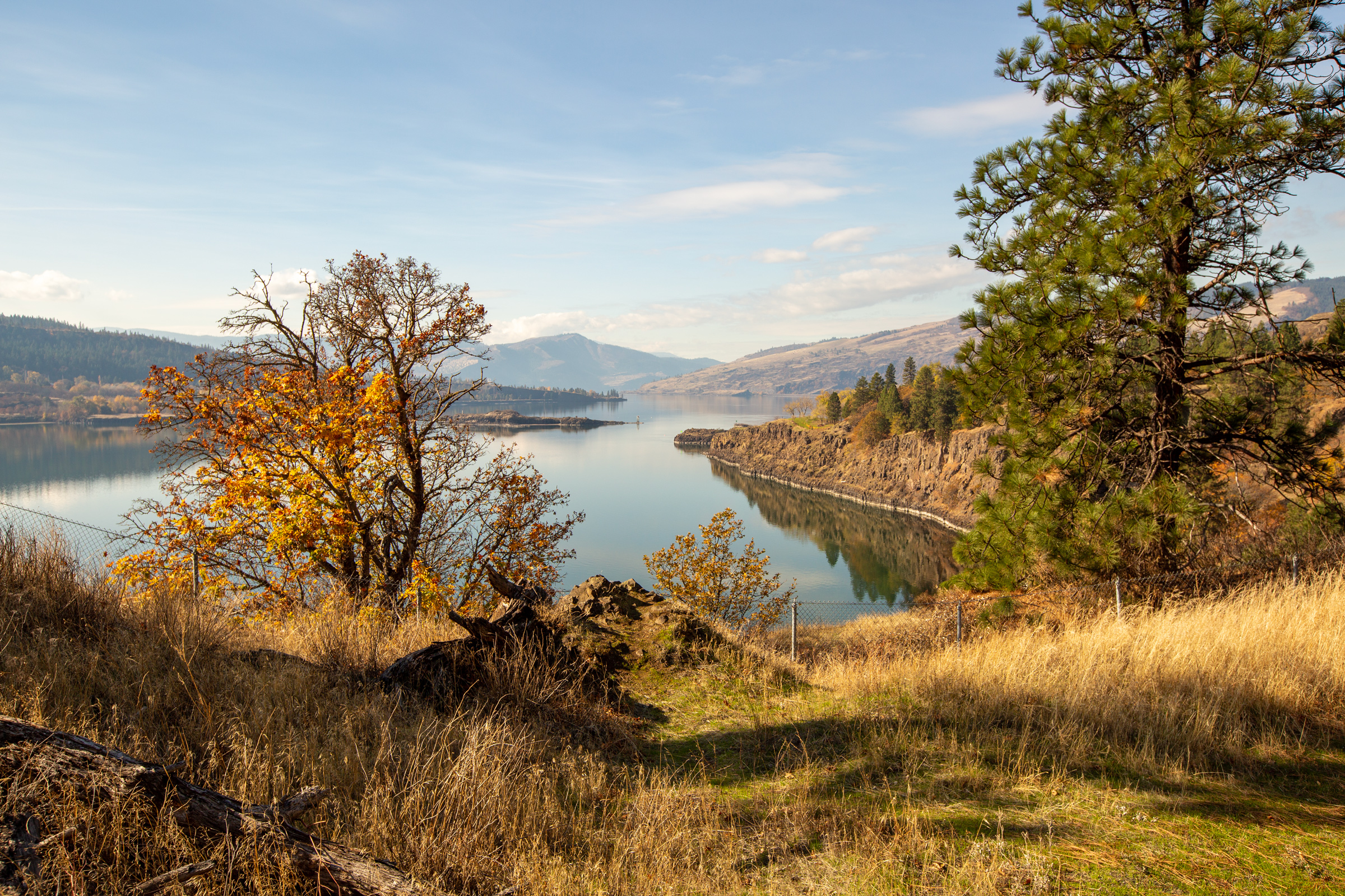
Just about every tourist stops at this pull-out clinging to the sheer cliffs of Cape Horn. From here, you can see far up the river to Beacon Rock—this trip’s next stop.
A smaller rock closer to Cape Horn was noted by Clark: “passed a rock near the middle of the river, about 100 feet high and 80 feet Diamuter.” On his maps, Clark labeled the rock “Phoca” and “Seal rock”. Sea lions still roost on its lower ledges, and from certain angles, the rock itself looks similar to a sea lion. Clark did not make clear which reason he named the rock.
There’s not a lot of room for parking and pedestrians along the highway, so consider stopping at one of the nearby trailheads. A variety of hikes—short and long—provide a more peaceful way to enjoy the views and waterfalls of Cape Horn. West of the highway viewpoint is Lower Cape Horn Trailhead at 45.5729, -122.2 with access also to Cape Horn Trail which goes up from the highway.
For the geology of Seal Rock, visit Seal Rock.
While Lewis and the enlisted men struggled to portage their heavy dugout canoes around the Cascades of the Columbia, Clark explored ‘strawberry island’—present Hamilton Island Recreation Area. From there, he saw “a remarkable high detached rock . . . in a bottom on the Stard Side near the lower point of this Island on the Stard. Side about 800 feet high and 400 paces around, we call the Beaten [Nicholas Biddle: Beacon] rock.” (Clark, 31 Oct 1805). The rock is the hardened lava plug of an old volcano.
In 1915, Henry J. Biddle—a distant cousin of Nicholas Biddle the editor of the first official edition of the Lewis and Clark Journals—bought the rock for a dollar and then constructed a trail to the top. It’s 52 switchbacks climb 680 feet giving spectacular views of the Columbia River Gorge. With fences and rails, it makes a great family hike.
Beacon Rock State Park also has a year-round campground and numerous day-hiking trails.
For the history of this site, visit our educational website, Discovering Lewis & Clark:
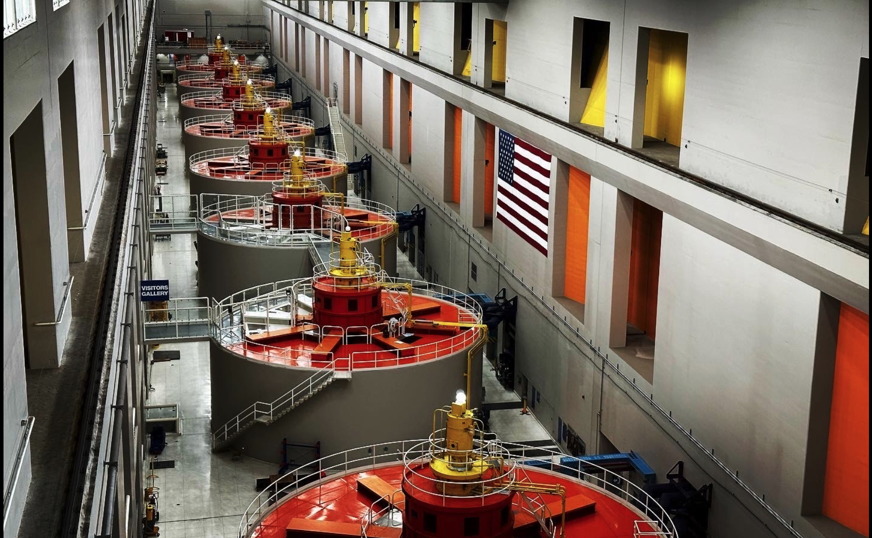
Not far up the river from Beacon Rock, the Bonneville Dam site is a great spot for a picnic and provides a self-guided tour featuring the fish ladder viewing room. See salmon and lamprey eels up close and personal as they migrate up the river.
Geology, Native Peoples, Lewis and Clark, the missionary era, railroads, and more are covered extensively at the Columbia Gorge Museum. (It’s in Stevensville, Washington and not to be confused with the Columbia Gorge Discovery Center & Museum in The Dalles, Oregon). Budget at least two hours to see it all!
Stevenson—a small town nestled in the Columbia River Gorge—offers an array of outdoor activities, historical attractions, and great food and drink. The Skamania Lodge provides first-class overnight accommodations.
Port of Skamania, Southwest Cascade Avenue, Stevenson, Skamania County, WA, USA
1 mi
View Listing
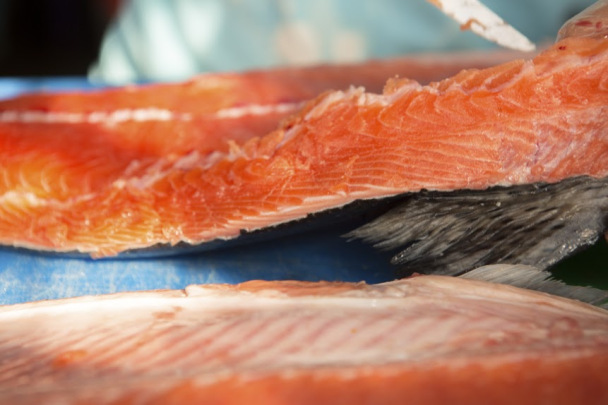
Wild Columbia Salmon, 1st Street, Stevenson, WA, USA
1 mi
View Listing
Stevenson Farmers Market, Southwest Cascade Avenue, Stevenson, WA, USA
1 mi
View Listing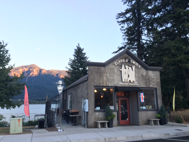
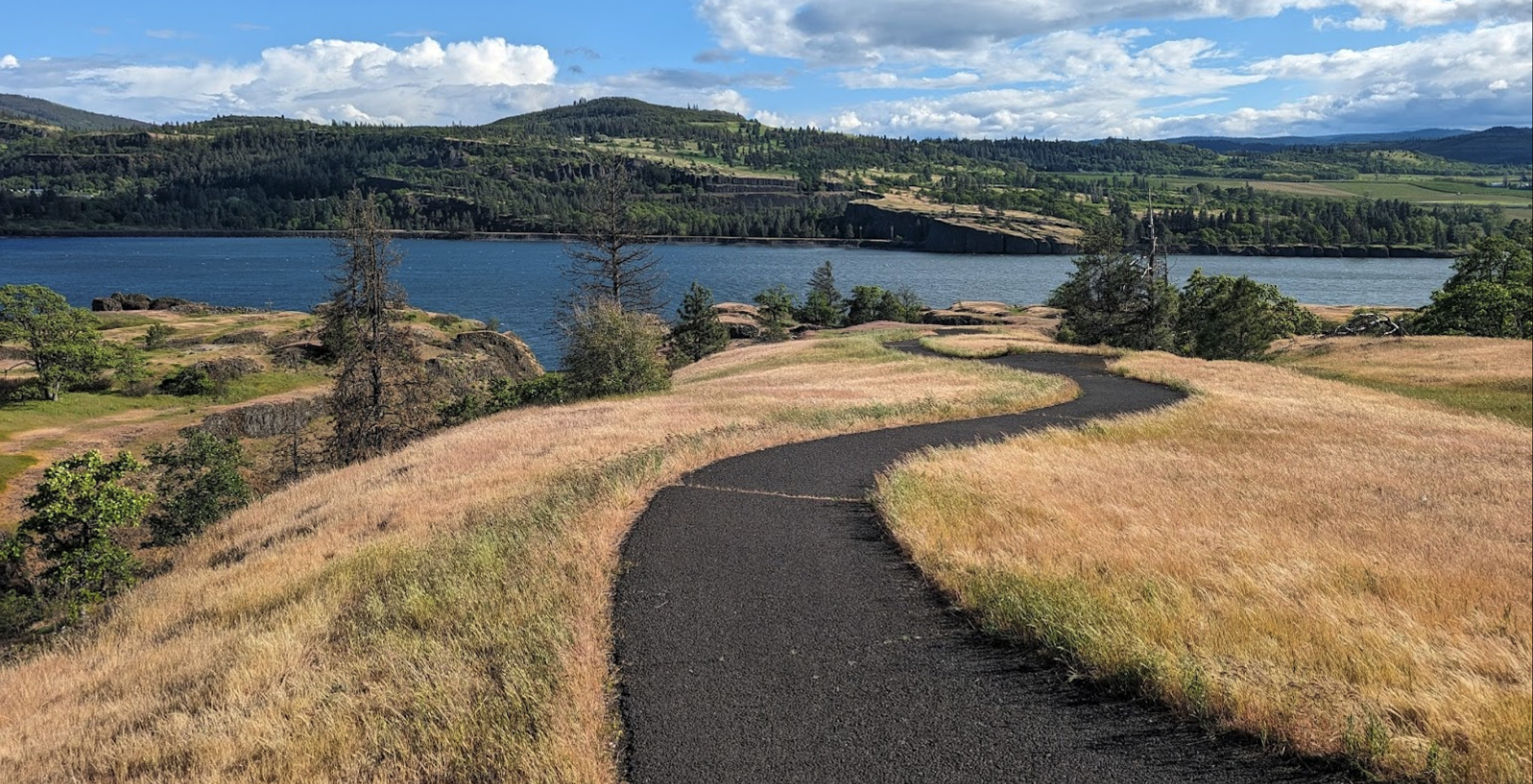
Catherine Creek Day Use Area offers several options for day-hikes, but by far the most popular are the lower paved trails with universal access. In the spring, you’ll find an abundance of wildflowers and many of the same plants described and collected by Lewis during the expedition’s spring 1806 return up the Columbia River.
Notable plants found here include camas, a variety of lomatiums (biscuitroots), and bicolored cluster lily, all traditional foods of the Upper Chinookan Tribes living in the area. (Harvesting or collecting plants at Catherine Creek is illegal.) Meriwether Lewis found the bicolored cluster lily a very pretty flower:
“there is a species of hiasinth in these plains the bulb of which the natives eat either boiled baked or dryed in the sun . . . . this hiasinth is of a pale blue colour and is a very pretty flower. I preserved a specemine of it.” (Lewis, 17 April 1806)
For more, visit our educational website, Discovering Lewis & Clark:
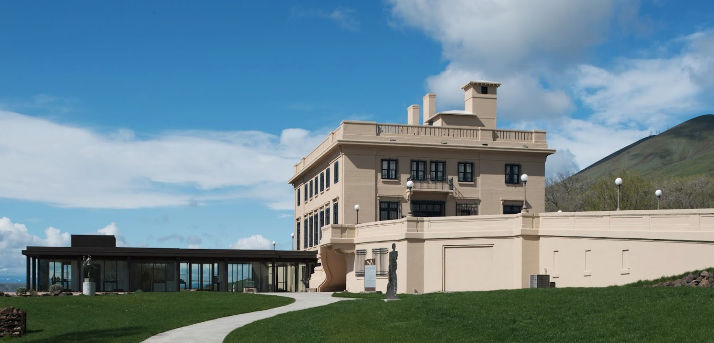
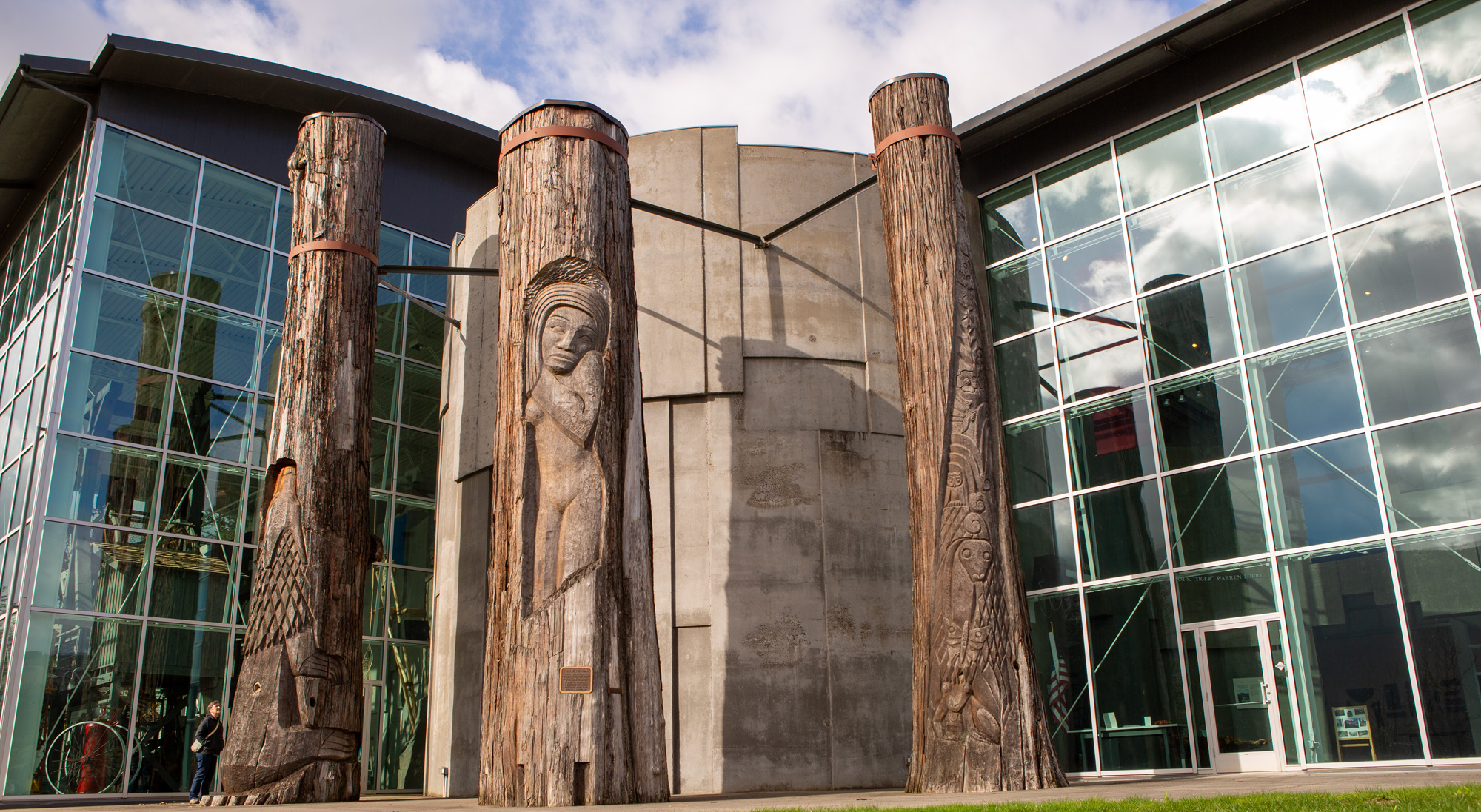
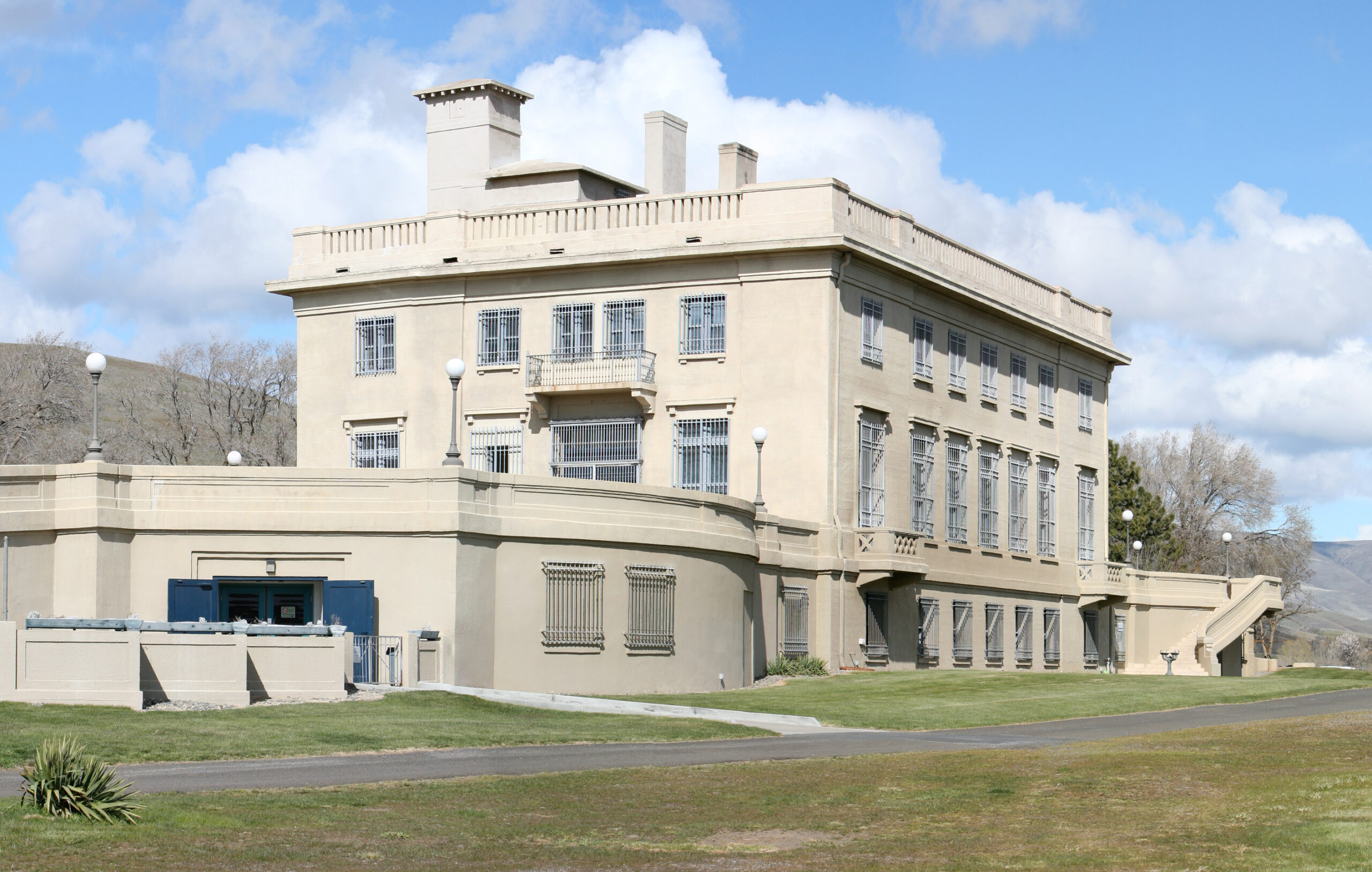
In 1907, Samuel Hill purchased over 5,000 acres and later began building a mansion high above the Columbia River. Hill was successful in seeing the building of the Columbia River Highway, but his land venture failed when suitable irrigation could not be developed. A friend convinced him to convert the mansion into an art museum.
The museum houses a world-class collection of Auguste Rodin sculptures, Indigenous art, and the throne room of Hill’s close friend Queen Marie of Romania.
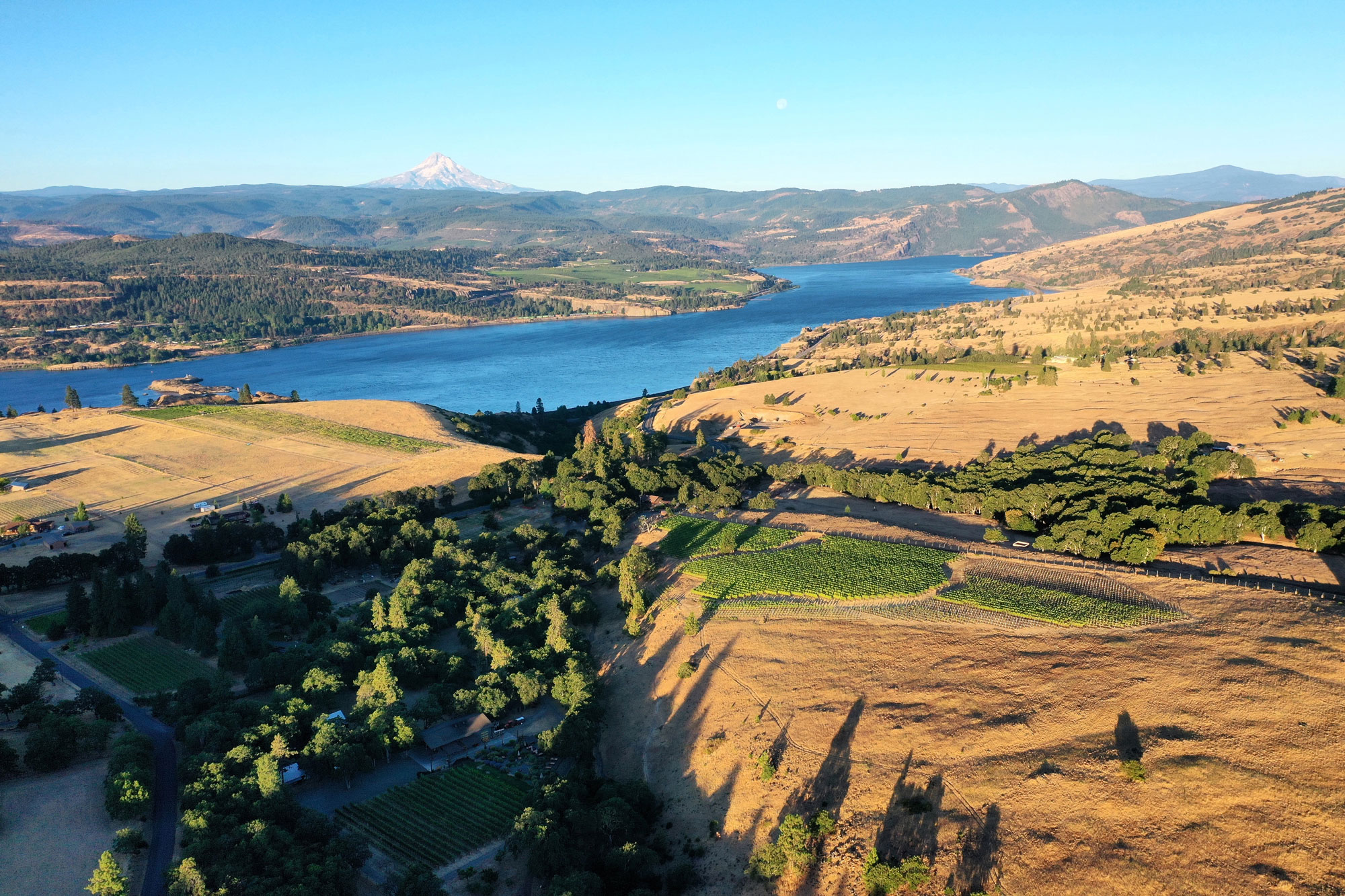
The Lewis and Clark Overlook is accessible from the museum’s parking lot. Also, this area has become a mecca for fine wines, and there are many wineries nearby.
This is the end of this inspiration trip. You can turn around, continue east to the Tri-Cities, head north to Goldendale and the Yakima Valley, or cross the Columbia River to Biggs and take I-84 west to the Portland-Vancouver metro area. If you do the latter, be sure to check our Oregon Side of the Columbia River Gorge trip inspiration.
Maryhill Museum of Art, Maryhill Museum Dr, Goldendale, WA, USA
0 mi
View Listing
Our bi-weekly newsletter provides news, history, and information for those interested in traveling along along the Lewis & Clark Trail.


