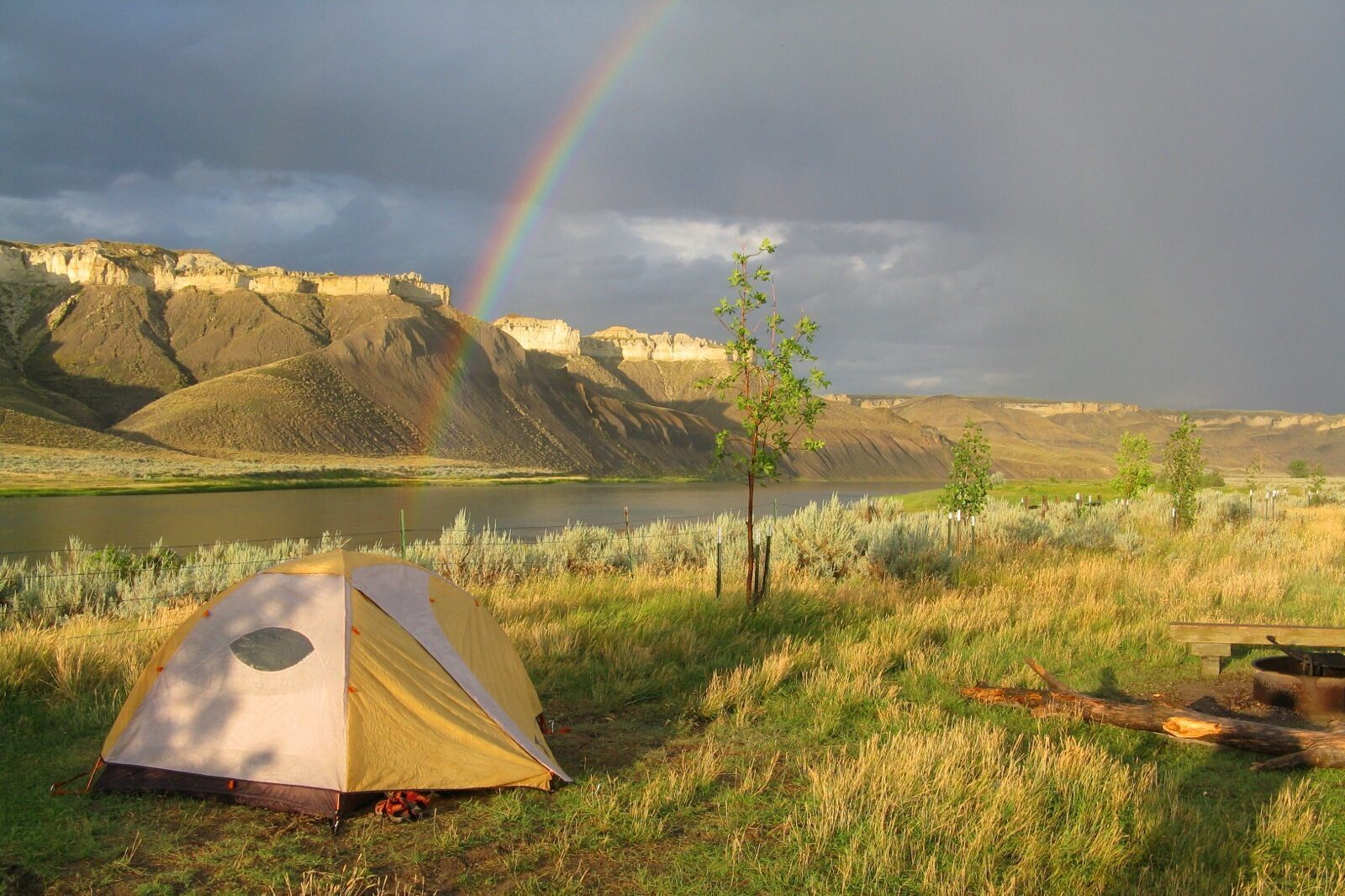
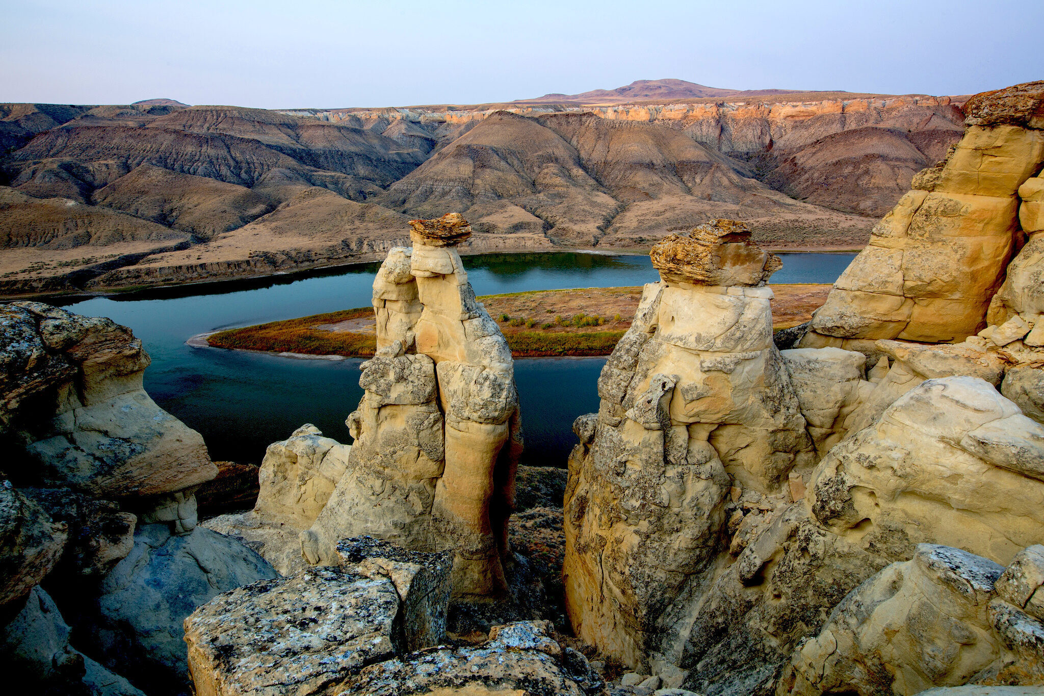
White Cliffs
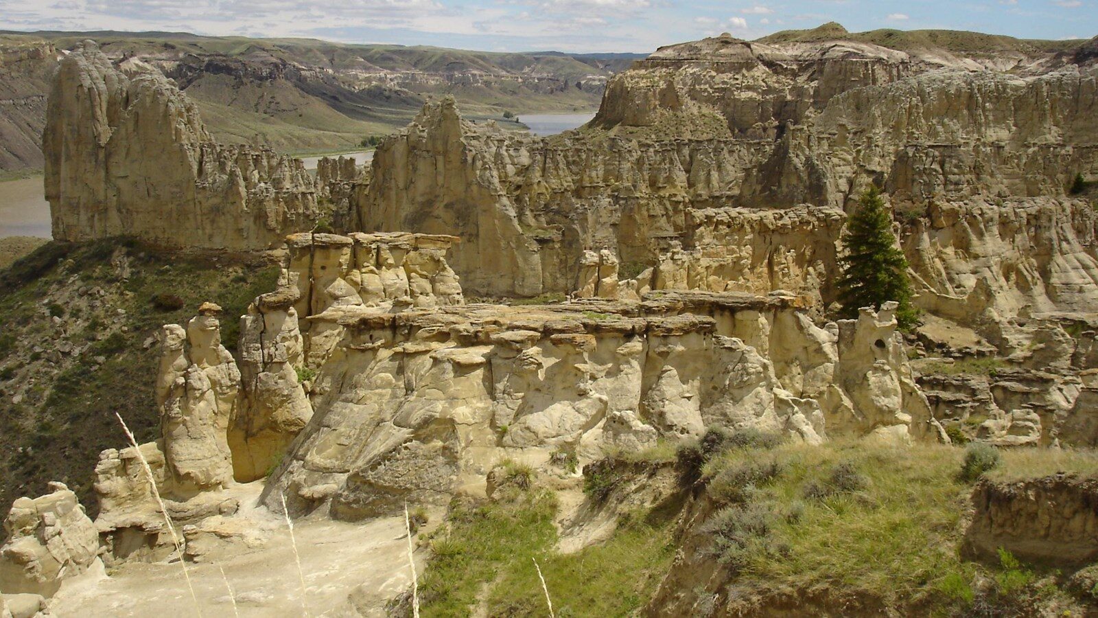
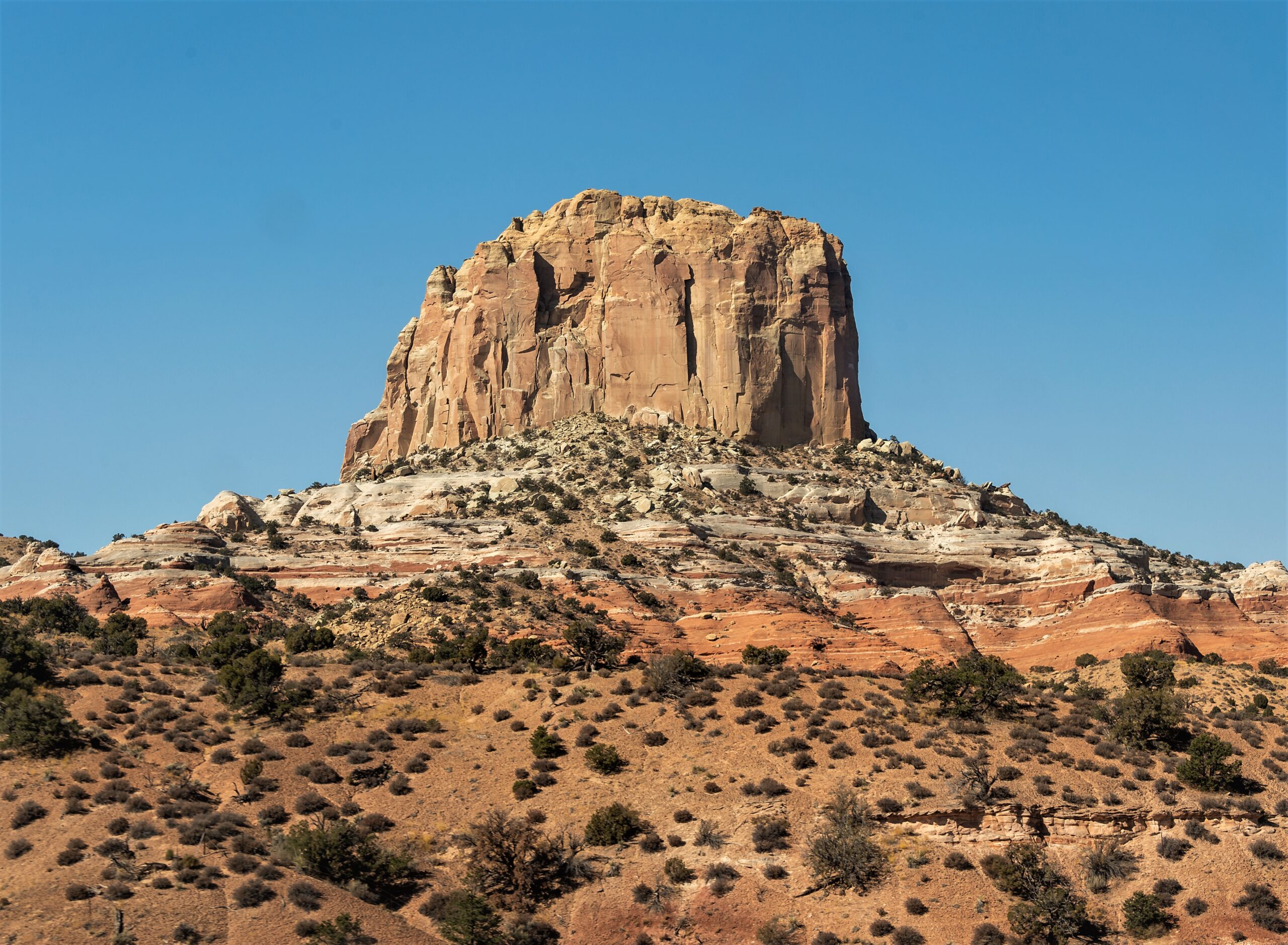
The White Cliffs are located in the Upper Missouri River Breaks National Monument, which was established in 2001. The picturesque landscape is primarily characterized by formations of Virgelle Sandstone that have eroded over millions of years. The area is publicly accessible by water and land.
On May 31, 1805, the expedition passed through the White Cliffs region of the Missouri Breaks. Lewis characterized the landscape as exhibiting “a most romantic appearance,” and further described the distinctive geography, writing “The bluffs of the river rise to the hight of from 2 to 300 feet and in most places nearly perpendicular; they are formed of remarkable white sandstone which is sufficiently soft to give way readily to the impression of water; two or thre thin horizontal stratas of white free-stone, on which the rains or water make no impression, lie imbeded in these clifts of soft stone near the upper part of them; the earth on the top of these Clifts is a dark rich loam, which forming a graduly ascending plain extends back from ½ a mile to a mile where the hills commence and rise abruptly to a hight of about 300 feet more. The water in the course of time in decending from those hills and plains on either side of the river has trickled down the soft sand clifts and woarn it into a thousand grotesque figures”. Taken by the seeming architectural quality of the natural rock formations, he wrote that “nature presents to the view of the traveler vast ranges of walls of tolerable workmanship, so perfect indeed are those walls that I should have thought that nature had attempted here to rival the human art of masonry had I not recollected that she had first began her work.”
Distance Unit:
Distance Unit:


A trail starting at Hauser Dam and overlooking the Missouri River.