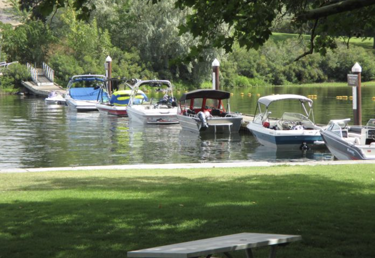
Walla Walla River Confluence
On April 27, 1806, Lewis and Clark reunited with Wallulapum Chief Yelleppit, whom they first met on October 19, 1805, during their voyage down the Columbia. Yelleppit invited them to spend several days at his village near the confluence of the Walla Walla River. Receiving a warm welcome, the expedition spent the next few days engaging in trade, council, and socializing with the Wallulapum. Receiving confirmation of the overland route east and assistance in ferrying horses and supplies across the Columbia in canoes, Lewis and Clark “took leave of these friendly honest people” on April 30, 1806.
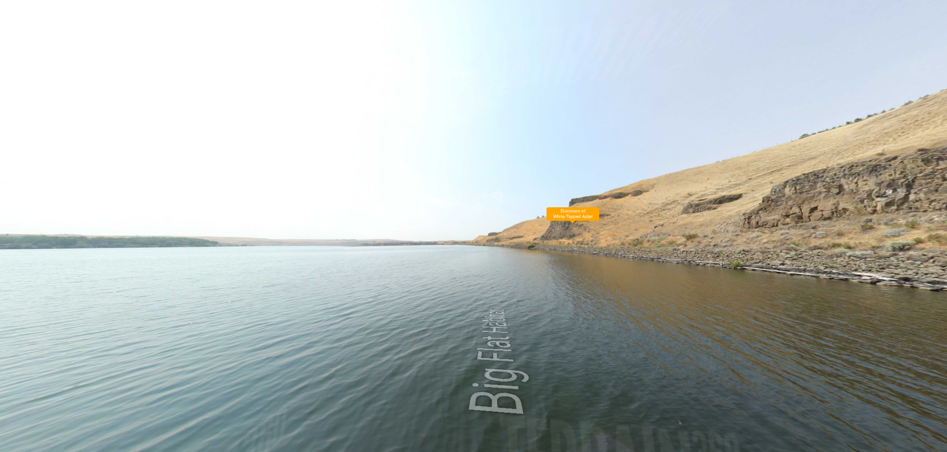
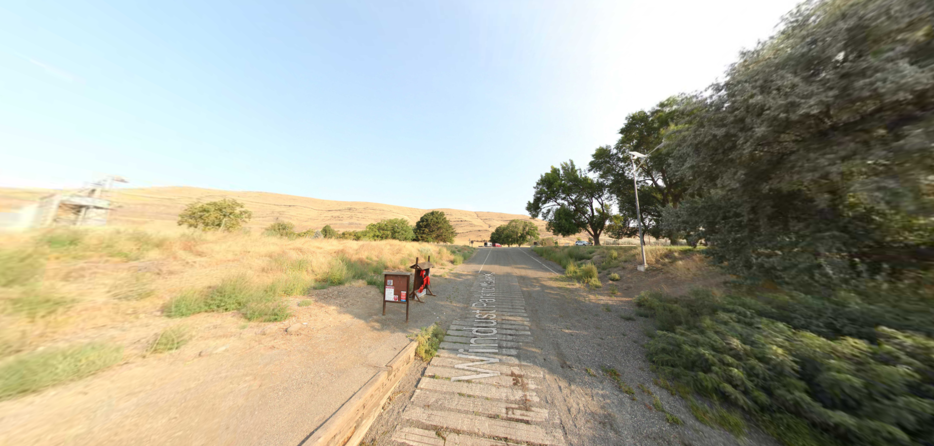
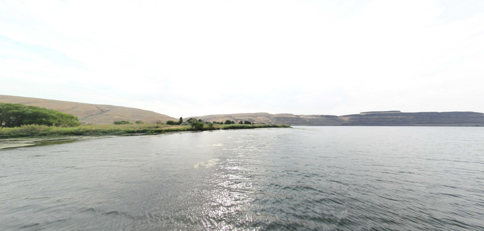
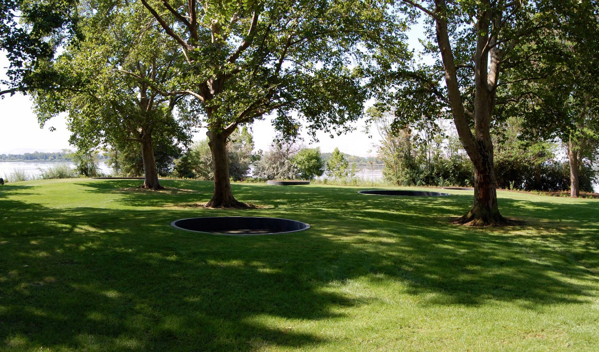
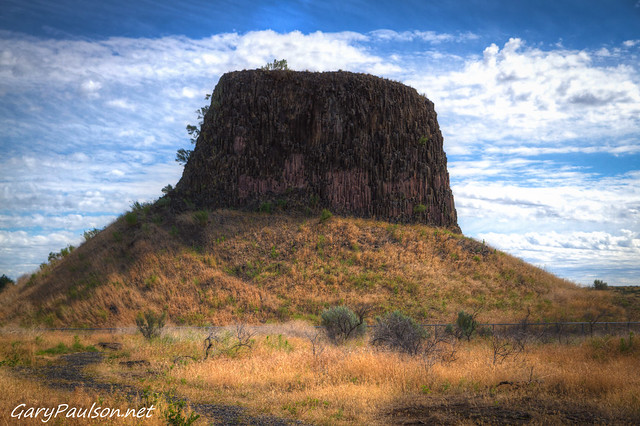
The immediate natural setting of the Walla Walla River Confluence is impacted by railroad and highway crossings, as well as a grain elevator complex. However, much of the adjacent area is publicly accessible through the 15,000-acre McNary National Wildlife Refuge and 46-acre Madame Dorian Memorial Park. Hiking trails that climb into the highlands south of the confluence offer panoramic views of the Wallula Gap, a dramatic landscape formed by eroded basalt anticlines that were first documented by Lewis and Clark as they canoed downriver on October 18, 1805. Clark described it as a “range of high Country at which place the rocks project into the river from the high clifts.” Away from the infrastructure congested about the mouth of the confluence, much of the natural landscape retains the historic appearance witnessed by the expedition.
Distance Unit:
Distance Unit: