Trail of Tears State Park
History
Native American Culture and Experiences
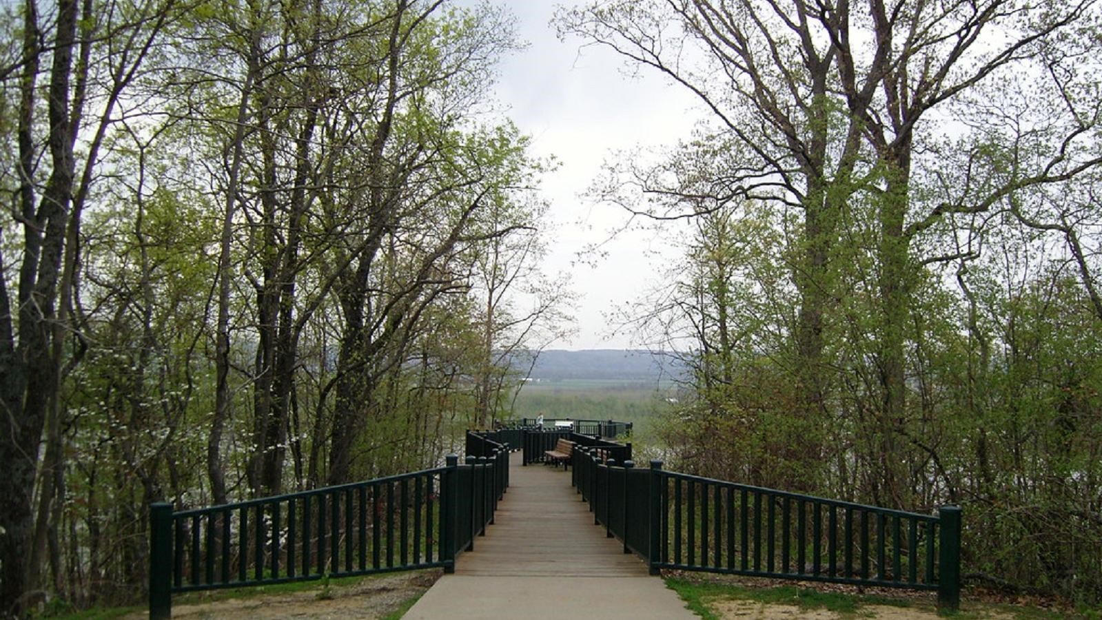
Outdoor Adventure
State Park
Camping
Trail
429, Moccasin Springs Road
Jackson
Missouri
63755