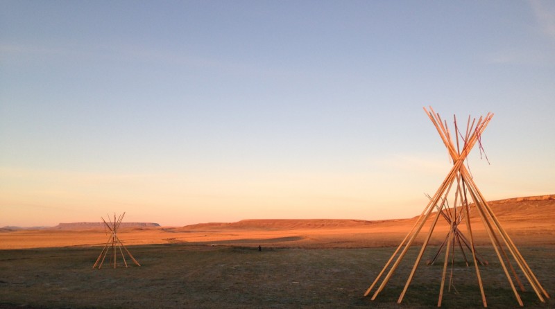
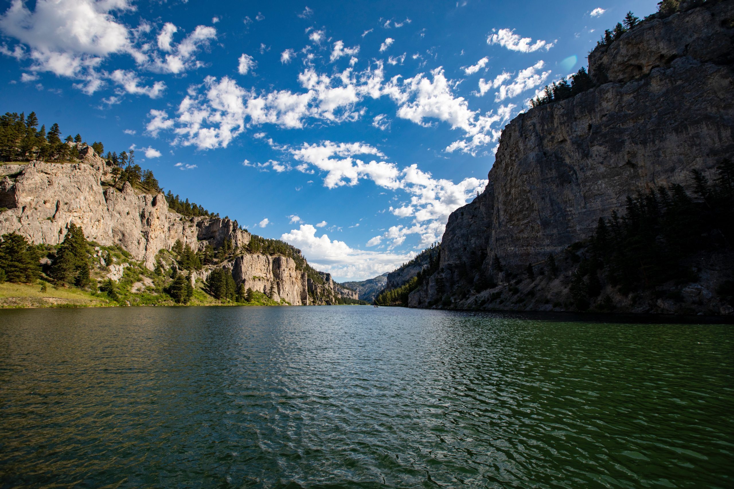
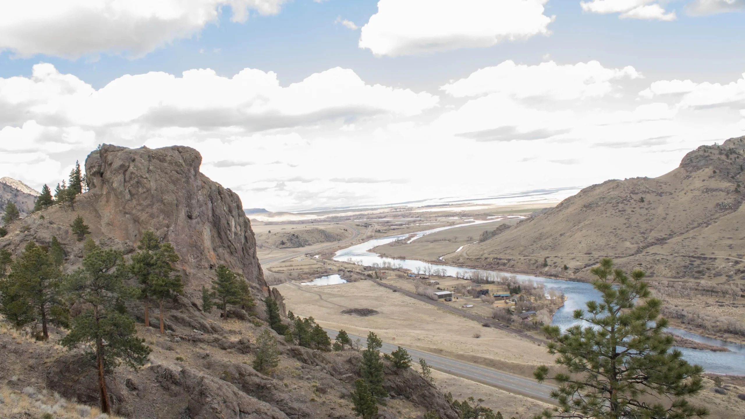
Tower Rock State Park
Native American Culture and Experiences
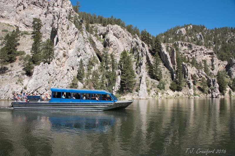
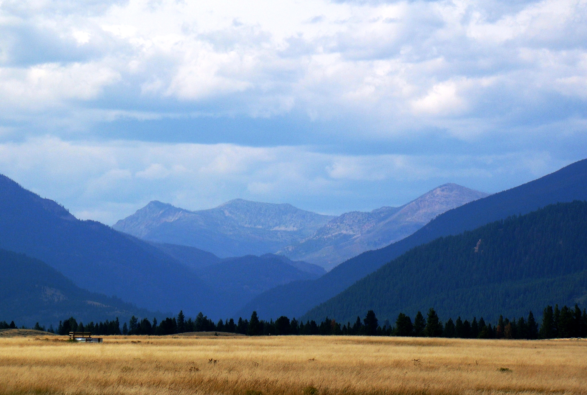
State Park
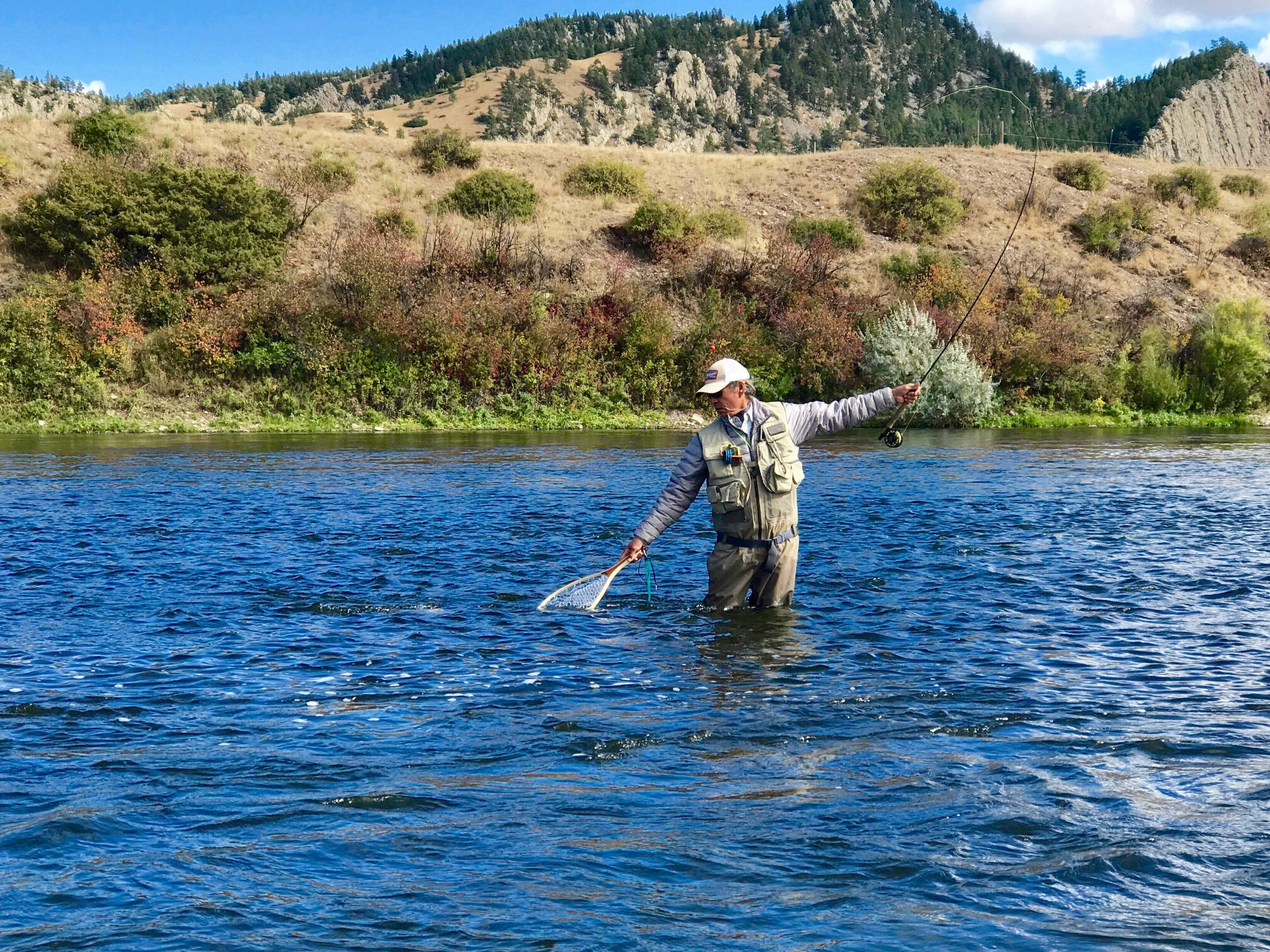
Outdoor Adventure
Trail
2325, Old US Highway 91
Cascade
Montana
59421