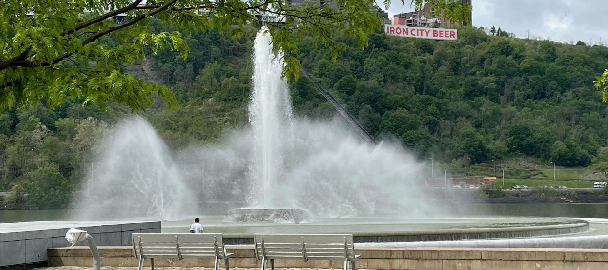
Three Rivers Water Trail
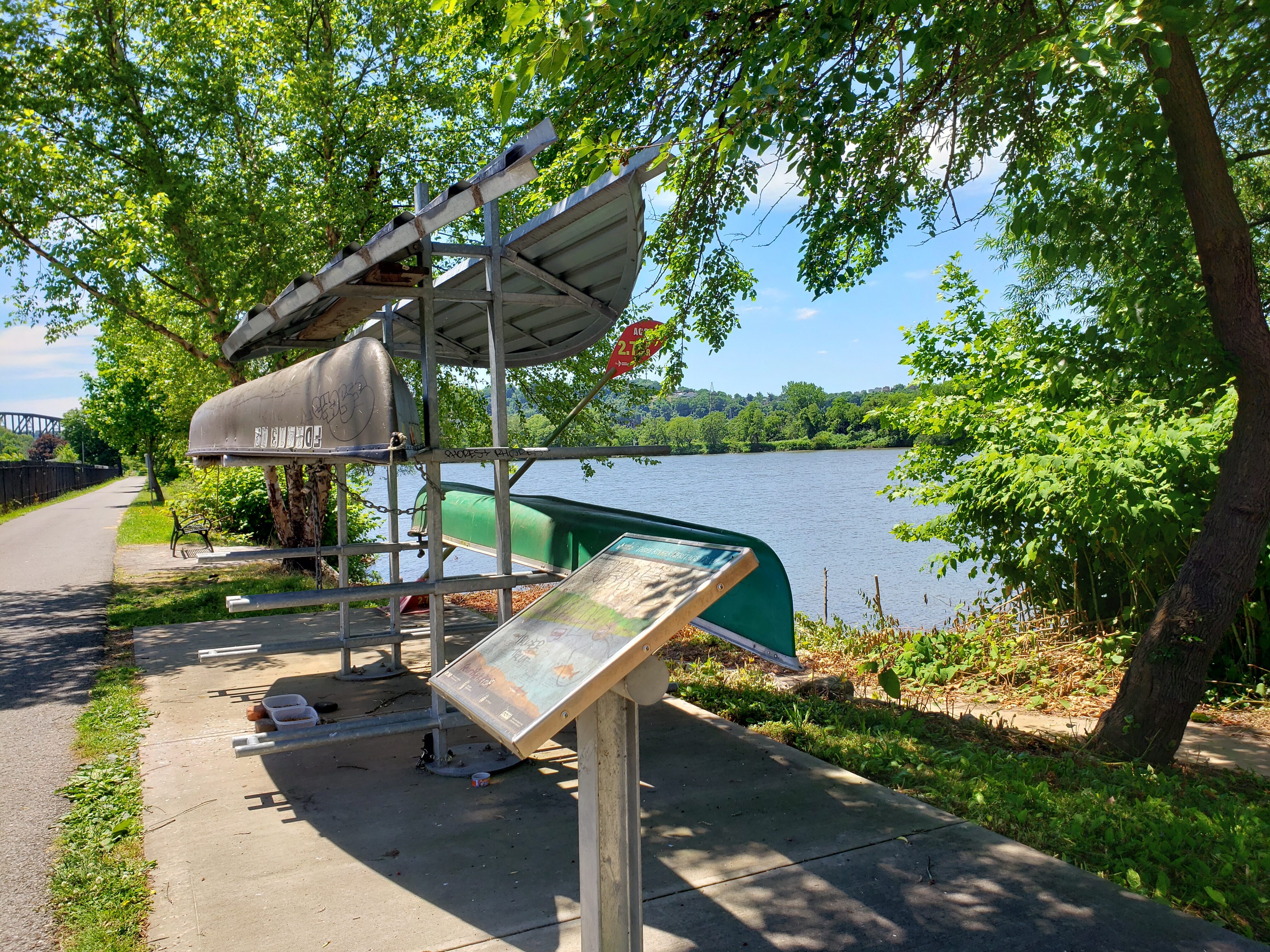
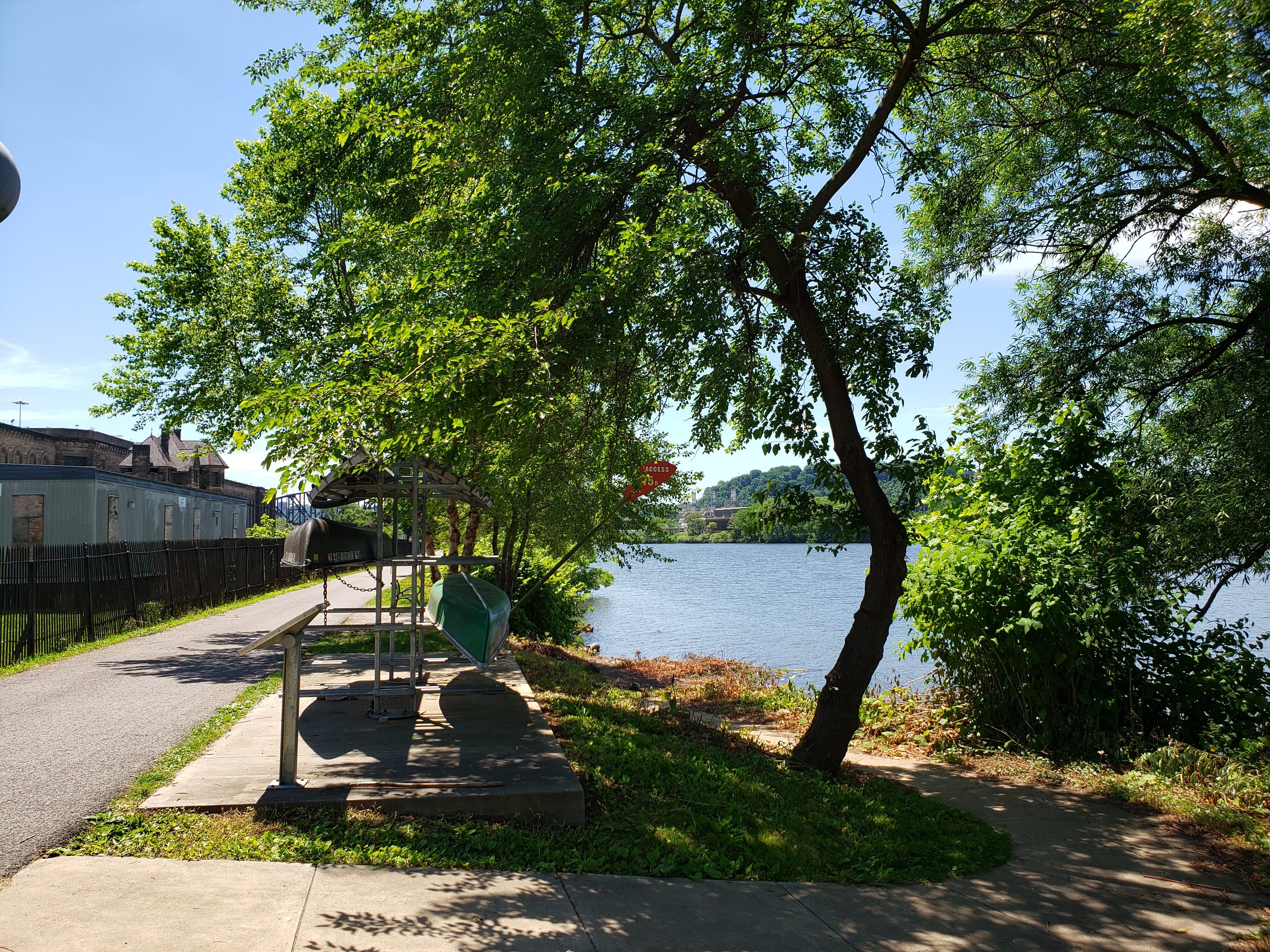
In the 1990s, Friends of the Riverfront were tasked with establishing safe, easily accessible points where people could enter Pittsburghs’ rivers or launch non-motorized boats. With their work now complete, there are a total of 23 access points along the Ohio, Monogahela, and Allegheny Rivers, establishing what is known as The Three Rivers Water Trail. The trail, now having been open to the public for 10 years, was granted National Recreation Trail status by the U.S. Department of Interior, and it allows for perfect accessibility to some of Pittsburgh’s greatest features. Some access points have boat racks, benches, and interpretive signs.
Access points can be spotted via the road or river, and they are characterized by red-paddle-shaped signs. These signs list the distance from the Point at Point State Park, a nearby scenic attraction that you can travel to via your non-motorized boat. The access points have ramps or docks for easy access to the water, and most of them have resources such as parking, boat racks, and interpretive signage that discuss the historical significance of the rivers. No permits or registration are required, and the trails can be used free of charge.
Launch your canoe, kayak, or SUP and ply the Ohio River where the Lewis & Clark journey began. For more information and a Three Rivers Water Trail map, visit friendsoftheriverfront.org.
For more information and a Three Rivers Water Trail map, visit friendsoftheriverfront.org.
Distance Unit:
Distance Unit: