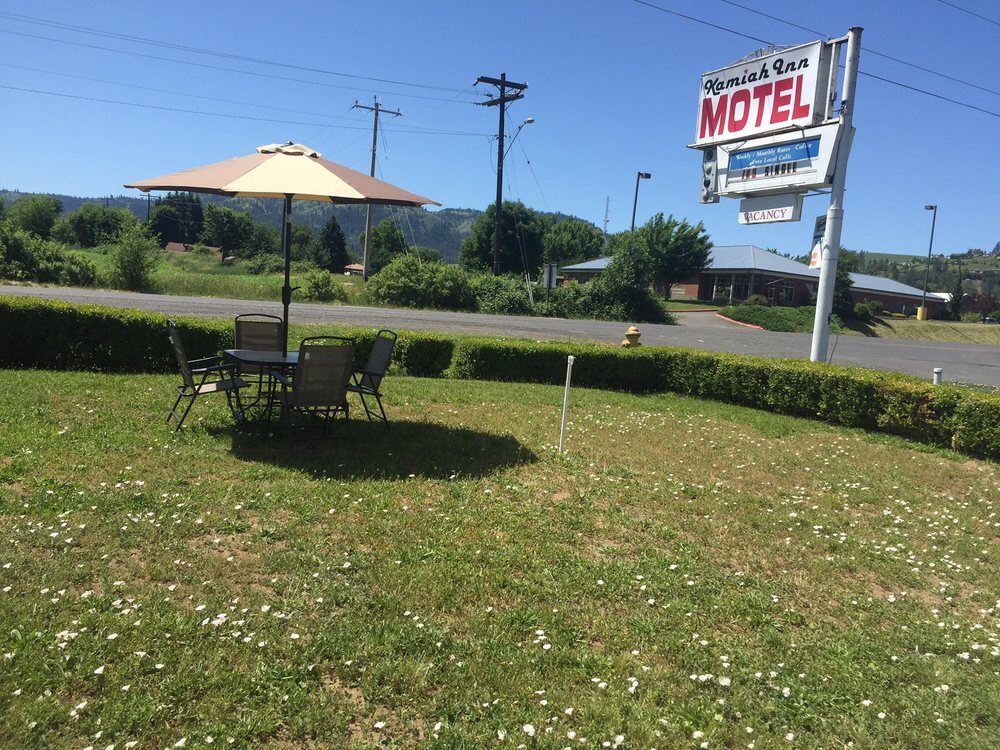
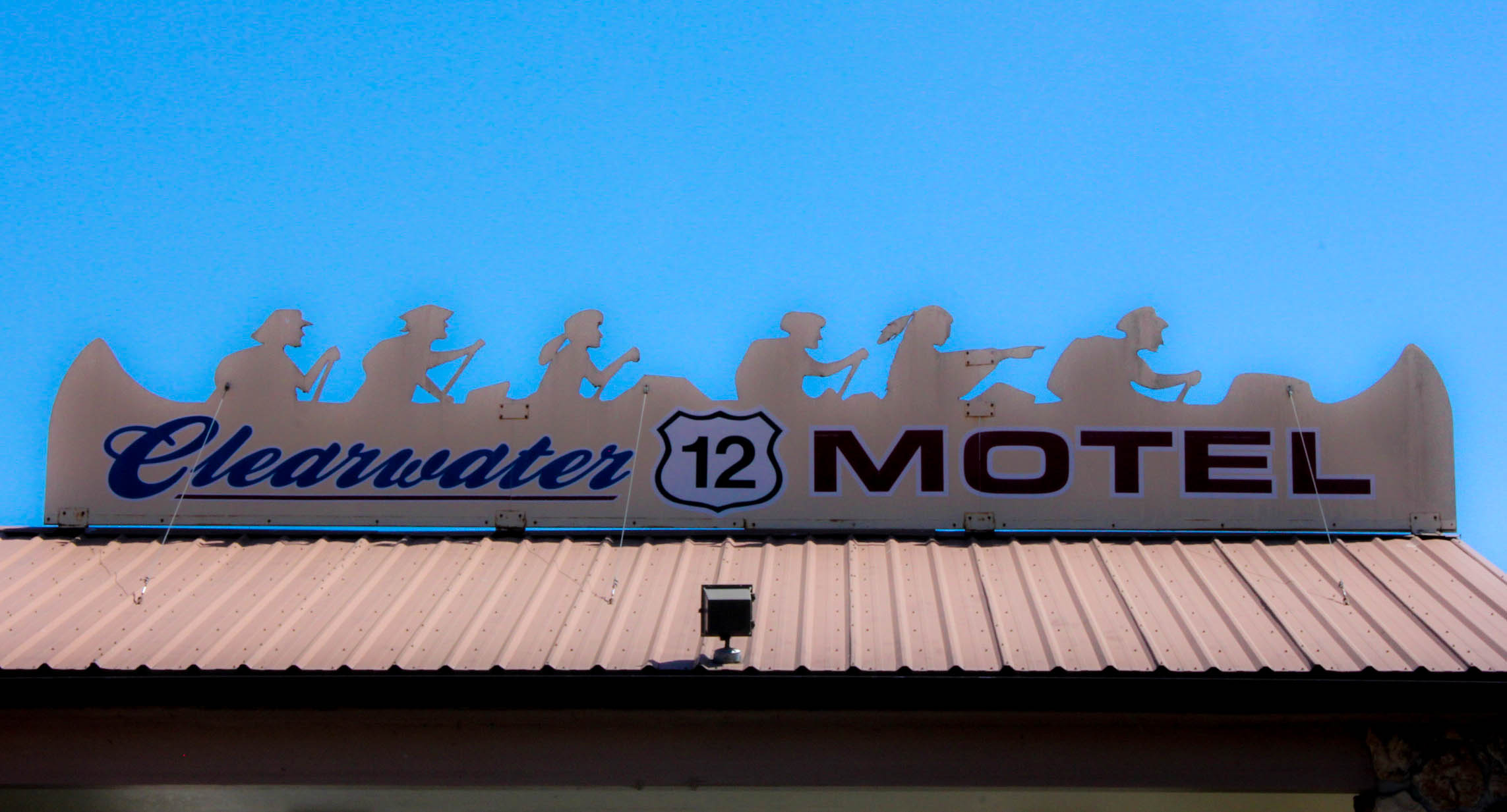
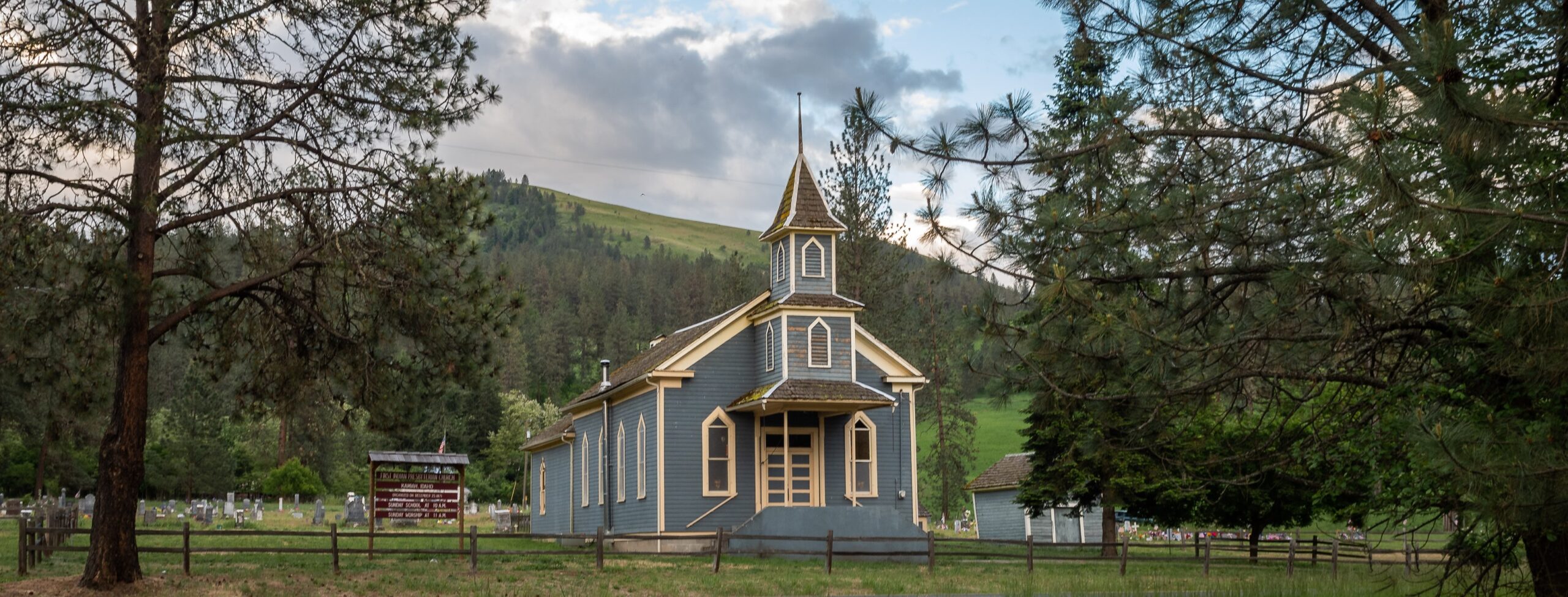
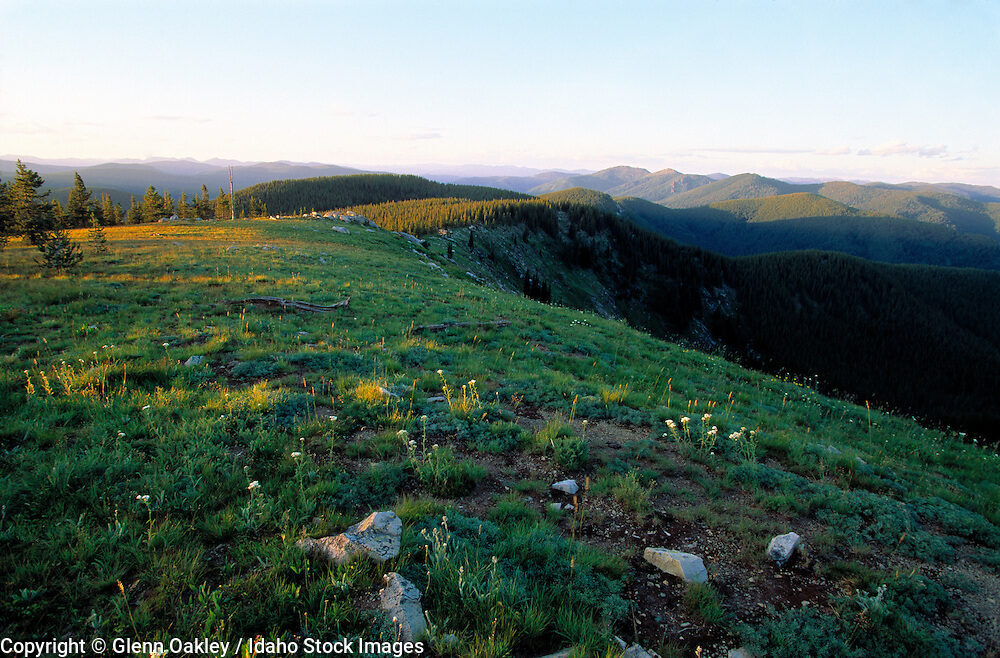
Page Feedback

Syringa, Idaho

Syringa, Idaho

Information

208-935-2290
lat: 46.1507362 long: -115.7270822

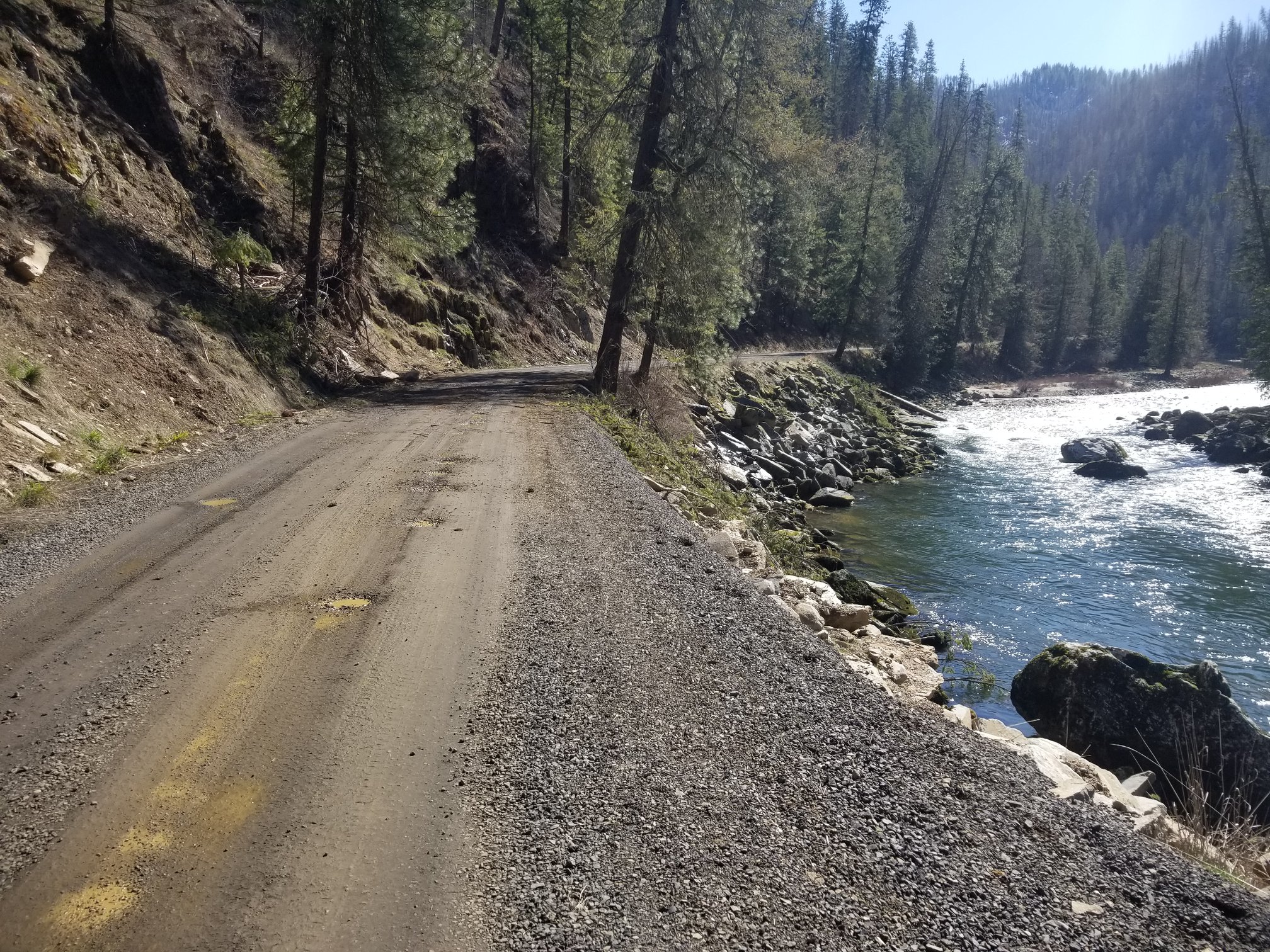
Located along US Highway 12—the Lewis & Clark Highway—approximately seven miles below the junction of the Selway and Lochsa Rivers, along the banks of the Middle Fork of the Clearwater River, Syringa was established in 1895 as a possible railroad supply point. The post office was established in 1897.

In Syringa’s early beginnings agriculture was the primary source of income for the people that settled in this little village. Years later, timber became the major source of income.

Nearby Attractions

Distance Unit:

Nearby Trails

Distance Unit:

Judith Landing to Woodhawk Wilderness

lat: 47.7400888 long: -109.6276312
Lolo Trail to Nee Me Poo Trail #40

lat: 46.58654 long: -114.73281
Eagle Creek to Hole in the Wall

lat: 47.8317525 long: -110.074063
Lewis and Clark Highway

lat: 44.97475 long: -113.44537
Old Buffalo Trail 1

lat: 46.9547545 long: -113.5255417
Blue Mountain

lat: 46.8148437 long: -114.1806973
Buffalo Jump

lat: 47.4796208 long: -111.5247388
Explorers at Portage

lat: 47.4925734 long: -111.3073279
Portage Camp Overlook

lat: 47.5052849 long: -111.3007715
Tower Rock Trail

lat: 47.188617 long: -111.8101938
James Kipp Landing

lat: 47.6276519 long: -108.6854877
Upper Hauser Lake to Missouri River

lat: 46.6822743 long: -111.8215701
Send Feedback

Instagram Feed