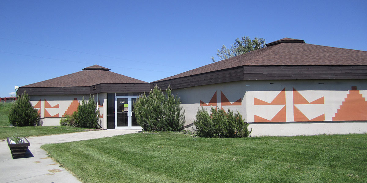
Shoshone-Bannock Tribes
While exploring the Lewis and Clark Trail, travelers can experience the rich culture of the Shoshone-Bannock Tribes in Idaho. Visitors can learn more about the history of the Shoshone-Bannock Tribe by visiting the numerous historical sites, upon tribal permission. For a deep immersion into the history of the Lewis and Clark Trail, visit the original Fort Trading Post, an integral part of this enormous journey.
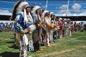
The Shoshone-Bannock Tribe hosts one of the most popular powwows in Indian Country, the Annual Fort Hall Pow-wow in August, and Indian Day in September, where visitors can enjoy horse races, powwow events, rodeo pageant and a variety of games. Don’t miss the Indian Relay racing. It is a big part of the Shoshone and Bannock Tribal culture because the sport of Indian Relay racing originated here with the Shoshone and Bannock people.
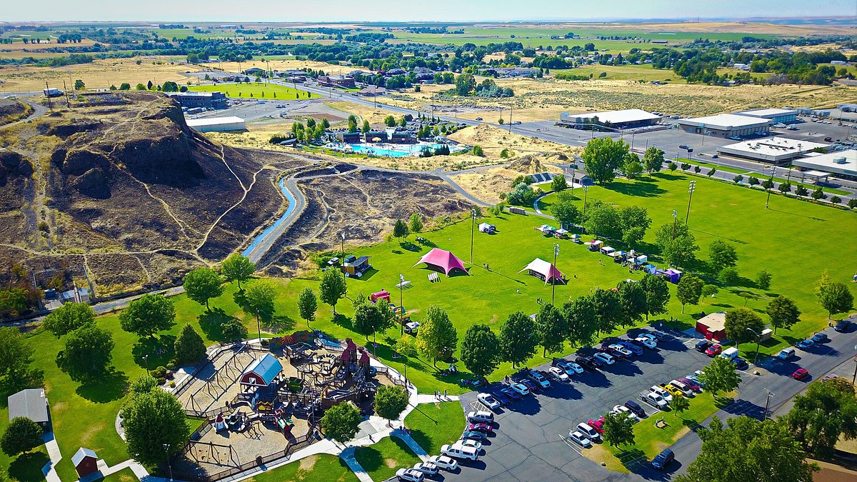
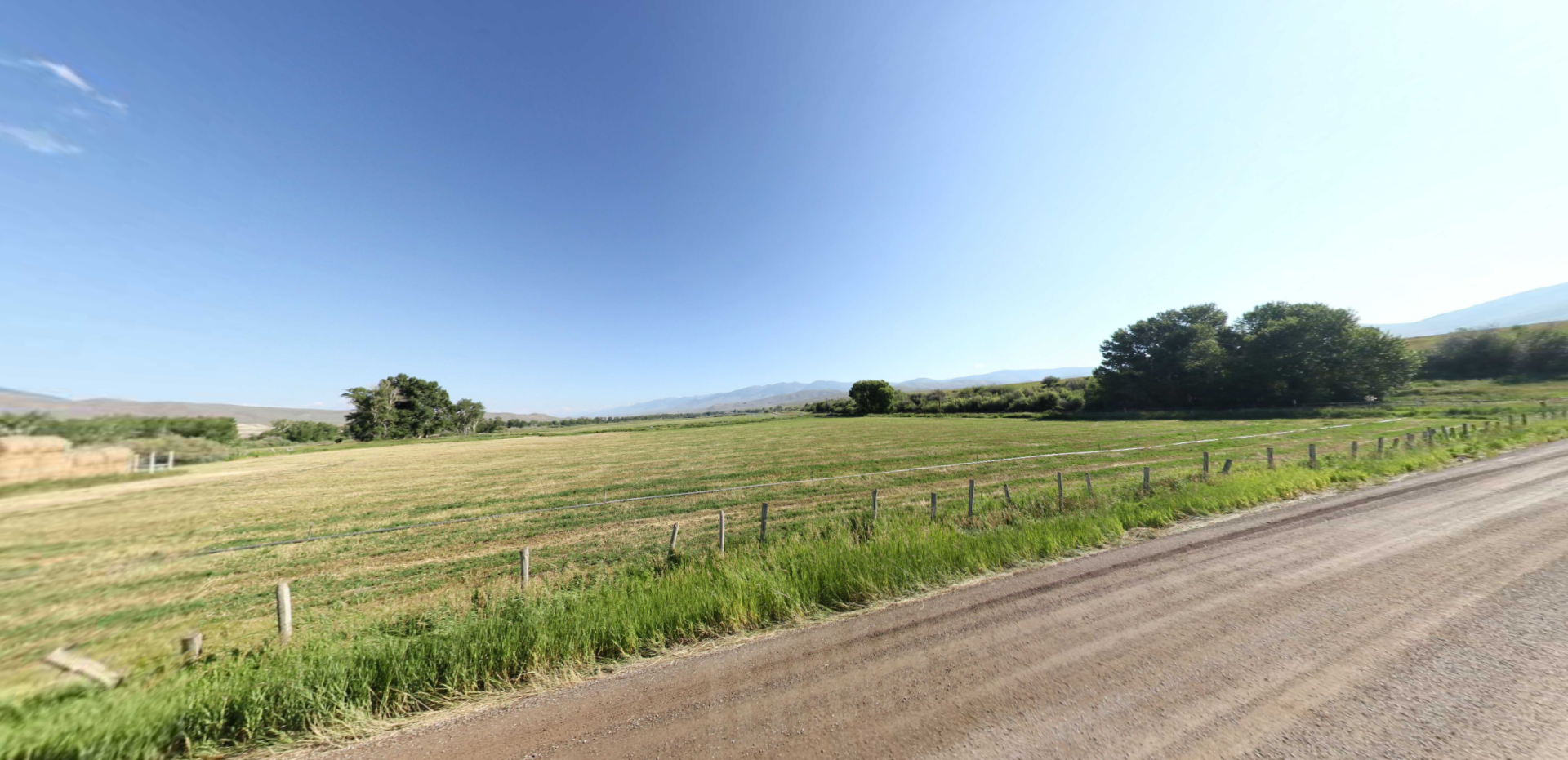
The natural beauty of Shoshone-Bannock tribal lands features wild horses and buffaloes that traverse throughout rolling hills and majestic plains. After a day of traveling these pristine lands, visitors can check out many local artisan outlets, such as the Donzia Gift Shop, the Shoshone Bannock Trail Museum Gift Shop and the Blue Corner Mercantile. In September, Indian Days Art Market features a wide variety of beautiful native arts.
To learn more about the Shoshone-Bannock Tribe, contact the Public Affairs Manager of the Tribe. Feel free to check out their website http://www.sbtribes.com/ and Facebook https://www.facebook.com/shobantribes to get more information, or email them at publicaffairs@sbtribes.com. The Shoshone-Bannock look forward to sharing their culture with travelers and those interested in tribal history, including their interaction with Lewis and Clark.

Distance Unit:
Distance Unit:
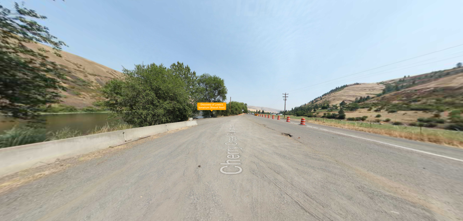
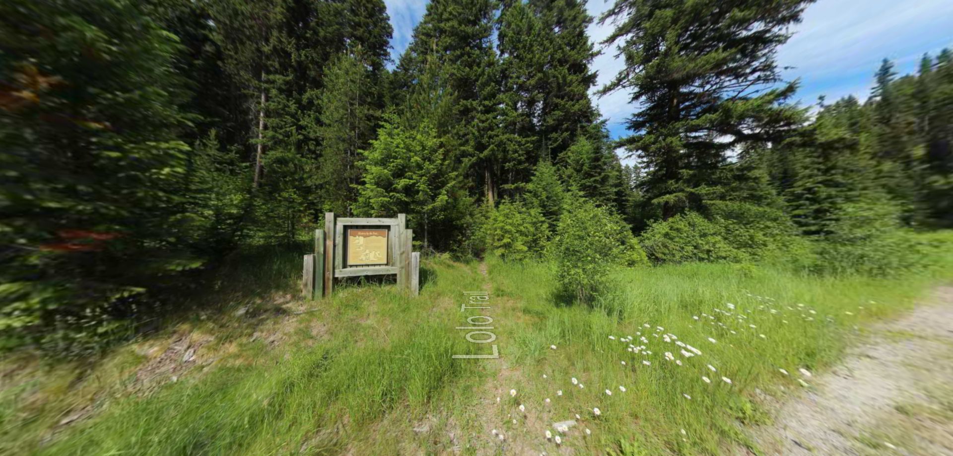
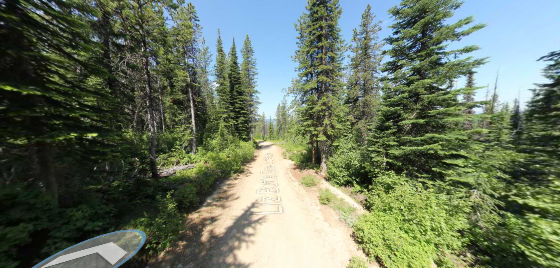
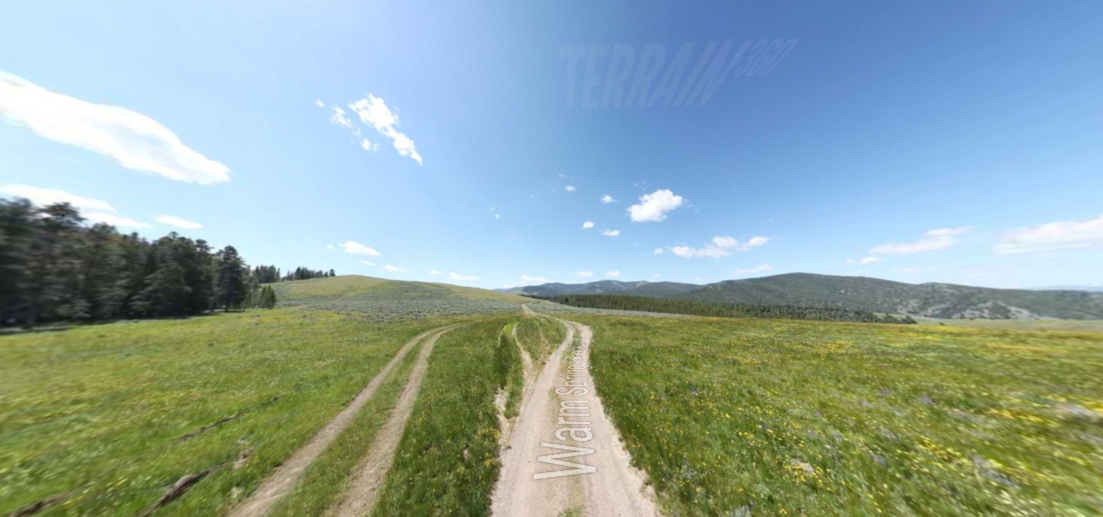
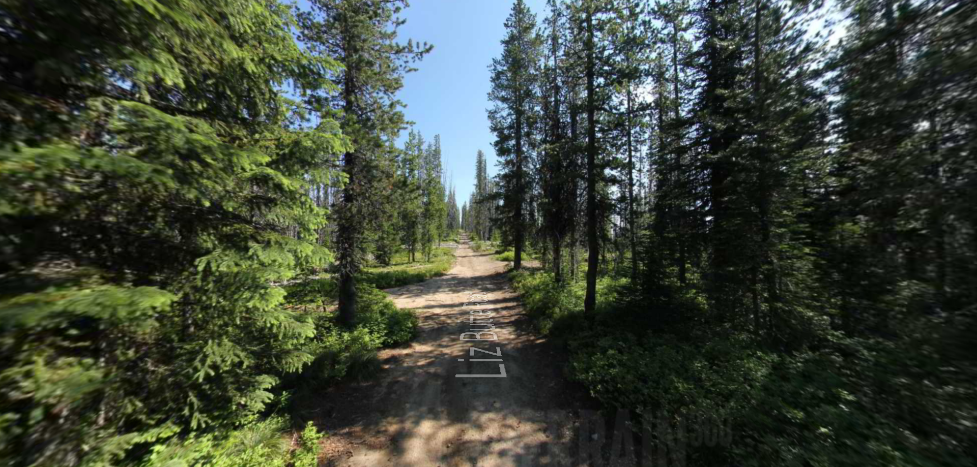
Embark on a historic trail dating back to August 9, 1805, when Lewis, accompanied by a scouting party, ventured away from the main group. Their mission: to discover a portage and establish contact with the…
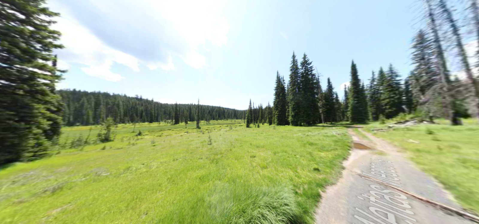
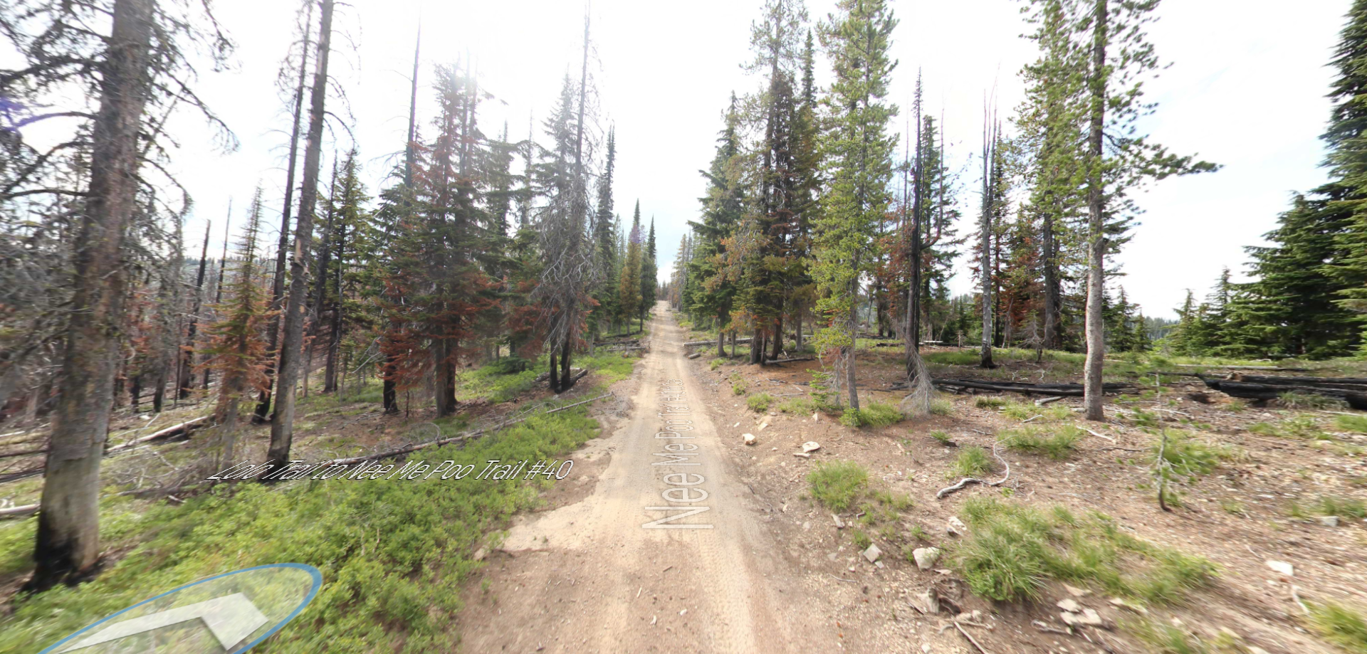
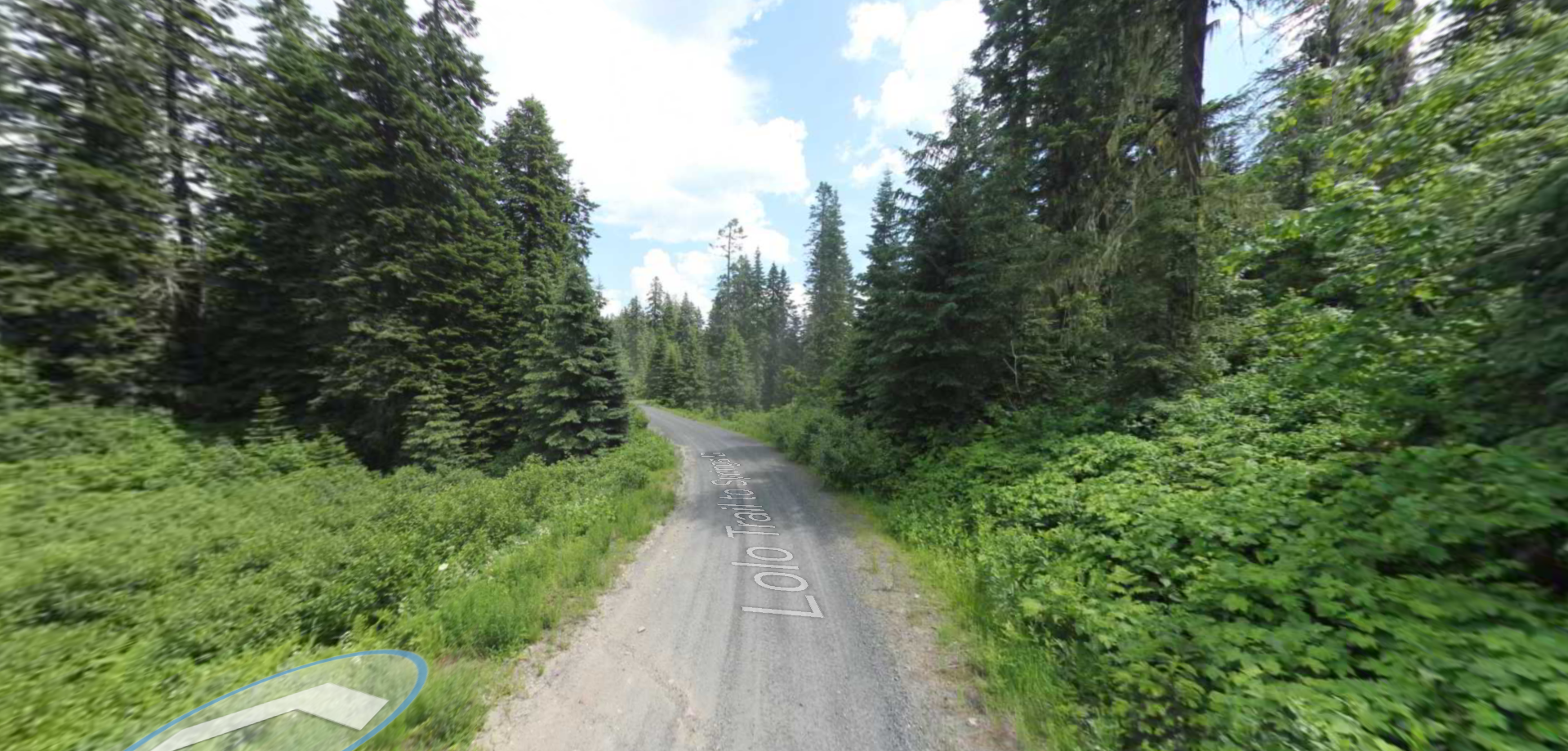
Tucked 35 miles northeast of Pierce, just off Forest Service Road 250, Weitas Campground offers a tranquil escape on the shaded banks of Weitas Creek near the North Fork of the Clearwater River. Accessible via…