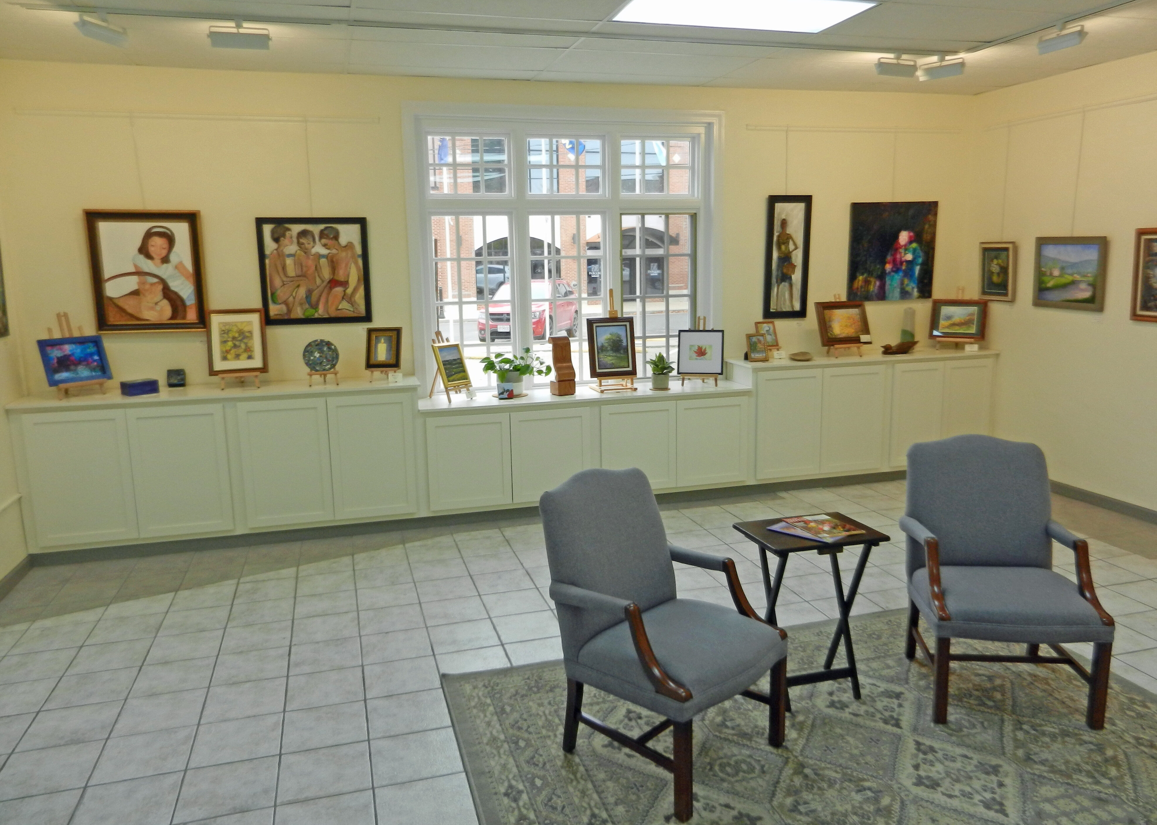
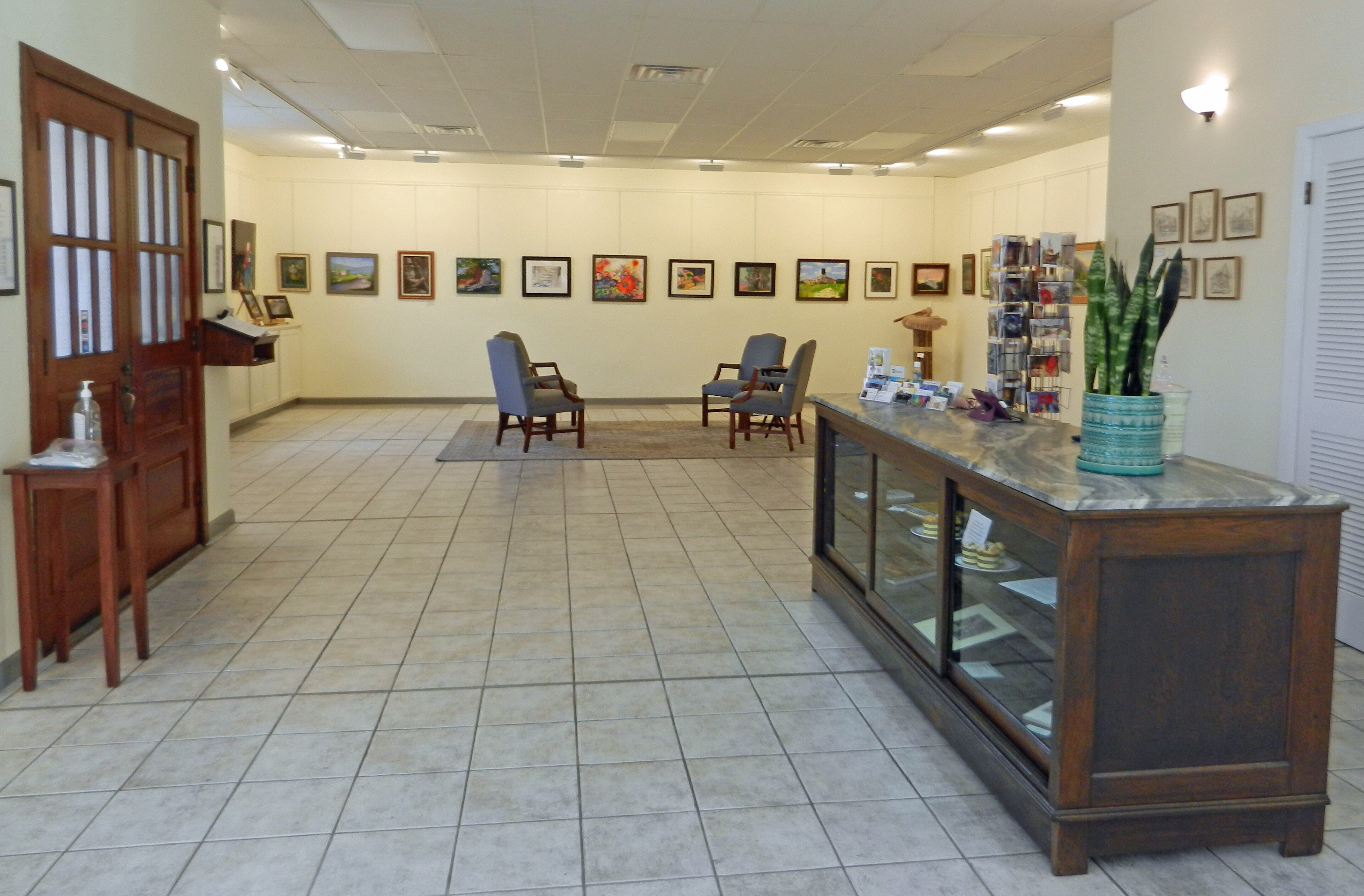
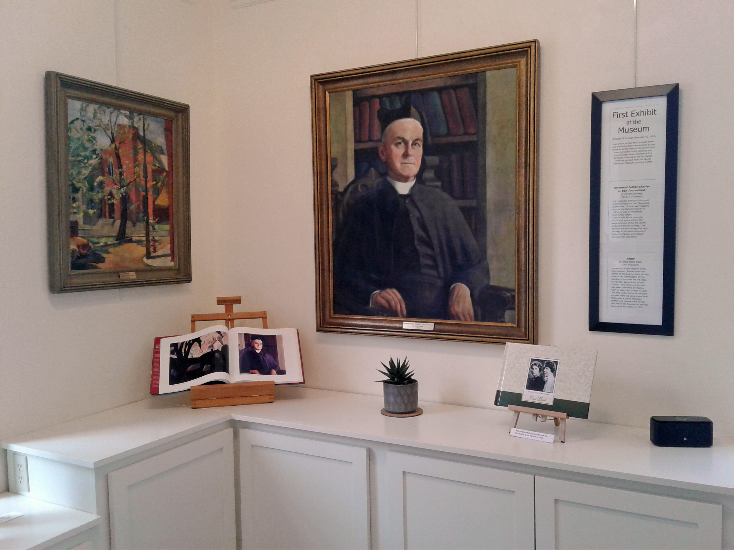
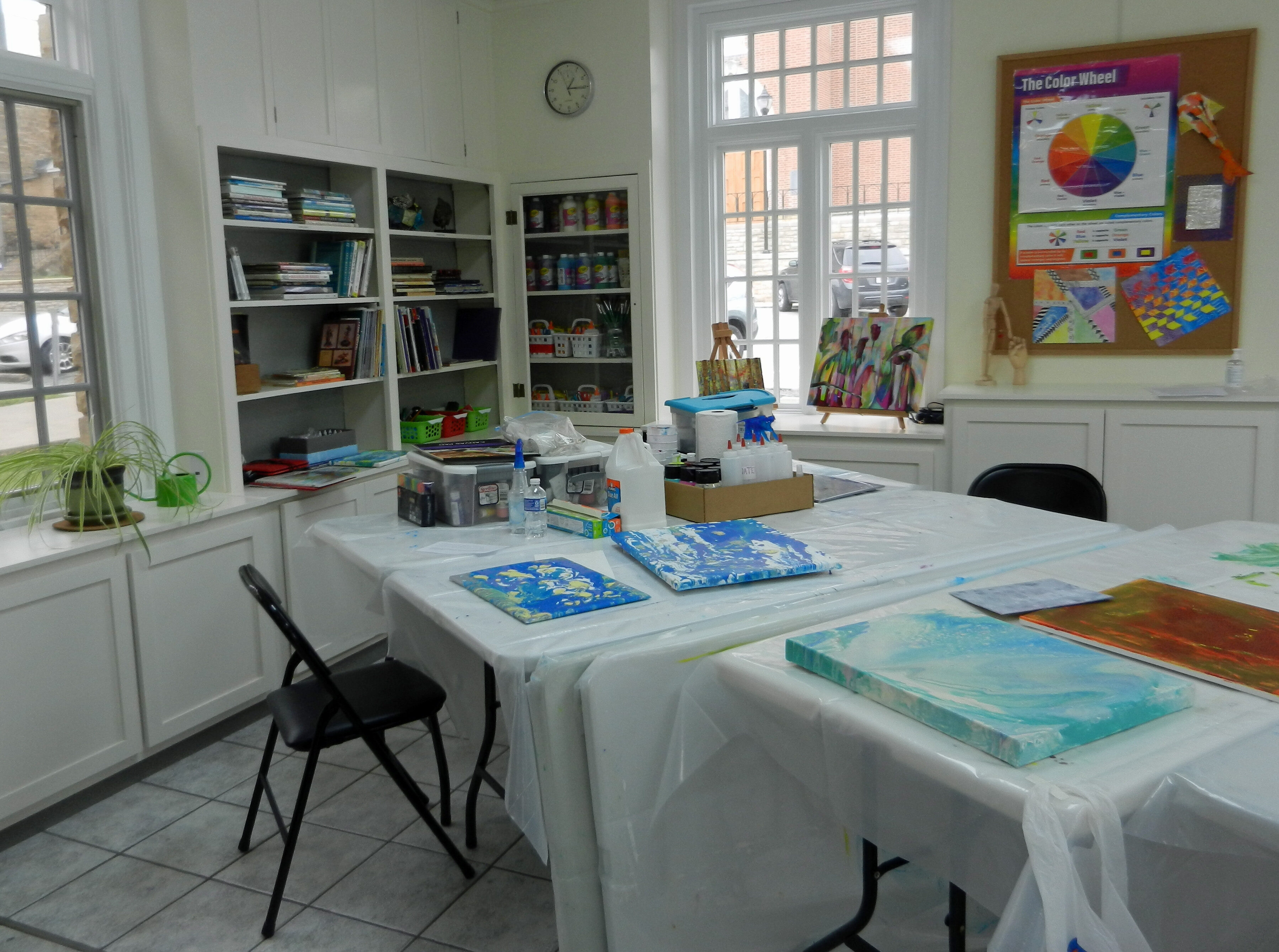
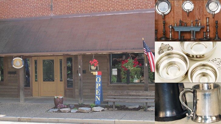
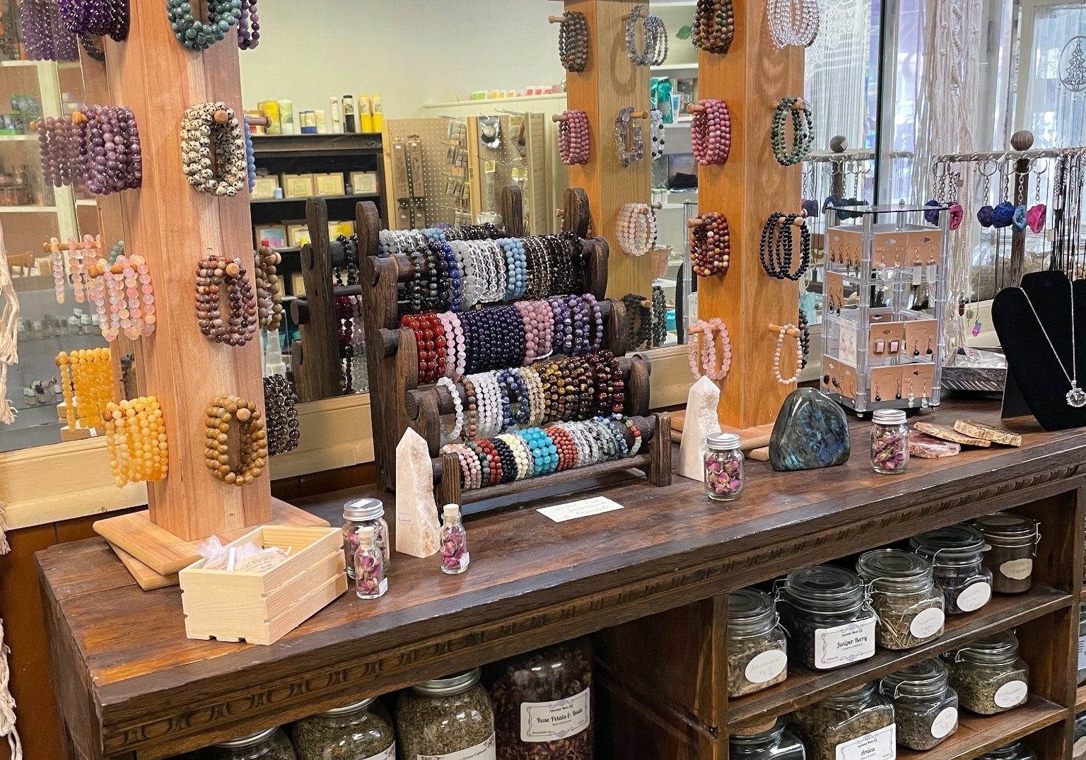
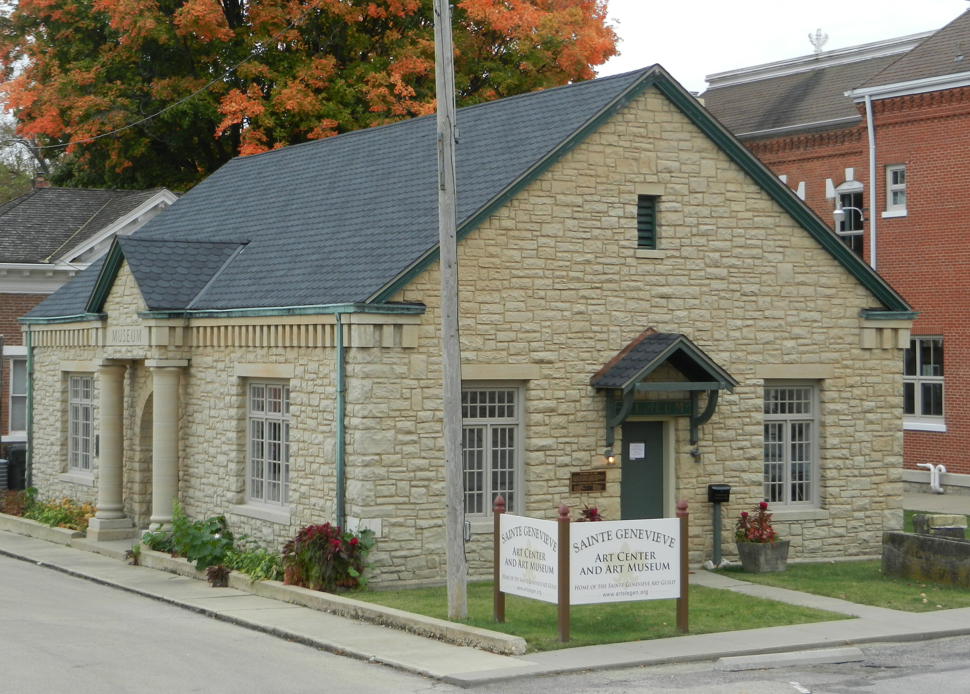
Sainte Genevieve Art Center & Art Museum
Arts and Culture
Museum, Theatre, or Intrepretive Center
Shopping and Leisure
310, Merchant Street
Ste. Genevieve
Missouri
63670