Saint Charles Historic District

On May 14, 1804 William Clark and 42 men docked in St. Charles (what is now the historic district) and remained for 6 days, waiting for Merriweather Lewis to finish some business in St. Louis before continuing their expedition out west. St. Charles was the final outpost for the Corps of Discovery before the expedition.
Saint Charles began as an outpost for traders in 1769 and was the earliest European settlement on the Missouri River. Chiefly inhabited by French settlers, the town was surrounded by American settlers in the countryside. While the Corps stayed in Saint Charles Clark noted the movement and diversity of the town writing,
“we arrived at St. Charles at 12 oClock a number Spectators french & Indians flocked to the bank to See the party. This Village is about one mile in length, Situated on the North Side of the Missourie at the foot of a hill from which it takes its name Petiete Coete or the Little hill [Les Petites Côtes (the Little Hills)] This village Contns. about 100 houses, the most of them Small and indefferent and about 450 inhabitents Chiefly French, those people appear pore, polite & harmonious.”
While their entrance to the town was exciting and warm, before embarking on their journey several recruits to the Corps of Discovery were court-martialed and punished for going absent without leave/AWOL while stopped in Saint Charles. The entire crew set out on May 20, 1804.
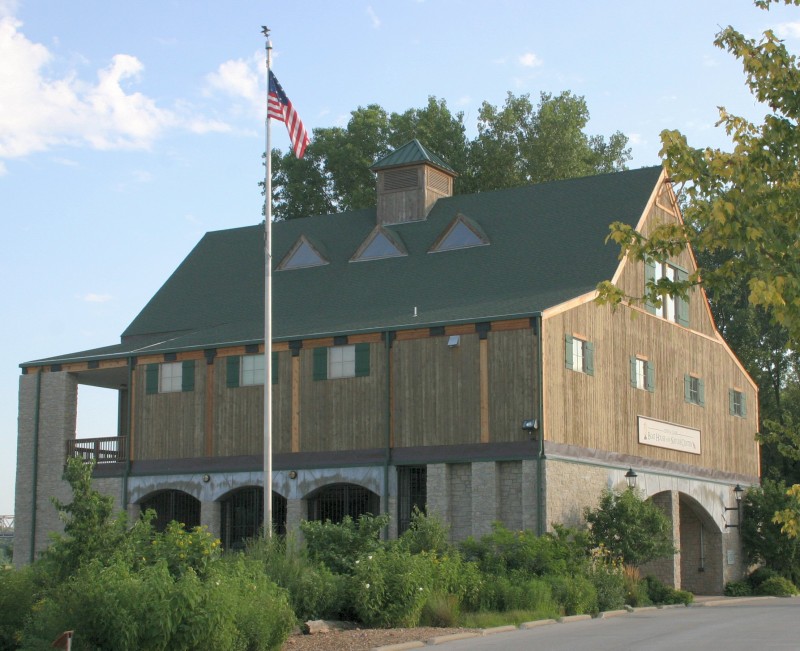
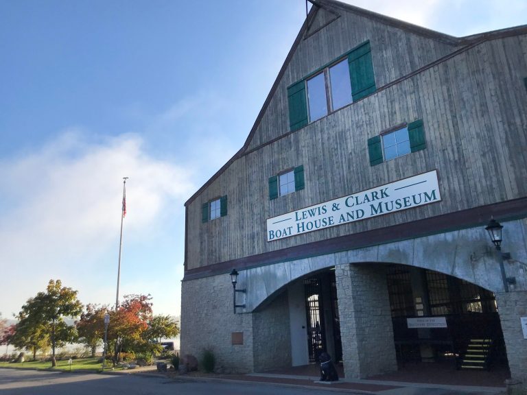
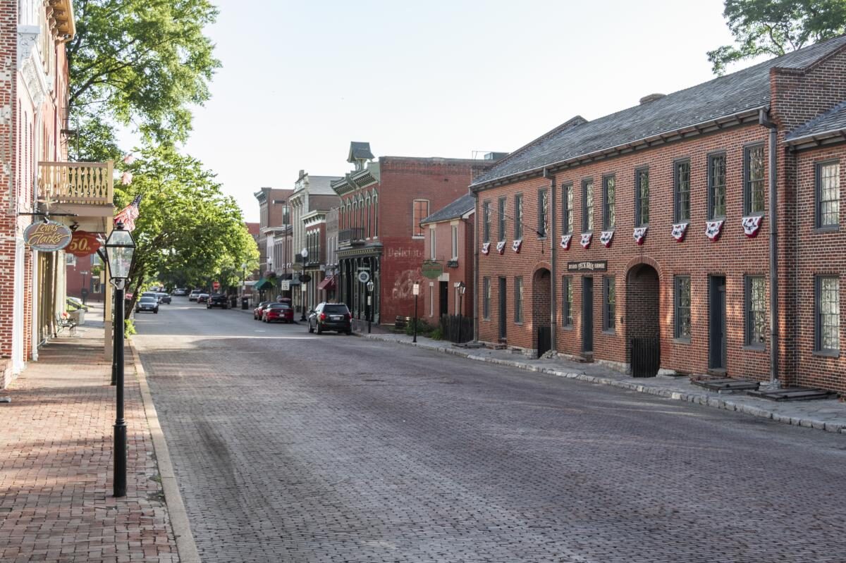
Today, the historic district of the city, which encompasses eight-and-a-half blocks has plenty of modern activities such as laser tag, golf, and many restaurants to choose from. However, the historical monuments, museums, and architecture that dates back to 1807-1890, is what makes the Saint Charles Historic District so unique, striking and charming.
Distance Unit:
Distance Unit:


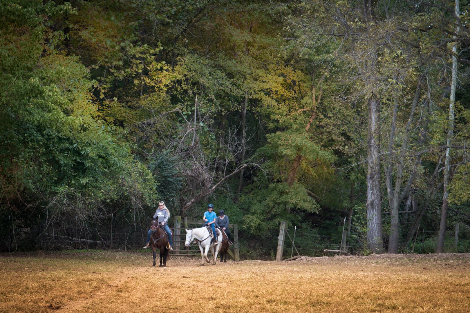
Explore the Trail of Tears State Park to delve into a somber chapter in American history. Here, nine Cherokee Indian groups crossed the harsh winter Mississippi River in 1838-1839 during their forced relocation to Oklahoma.…

A boat ramp that allows visitors to access the Trail of Tears


Here, nine Cherokee Indian groups braved harsh winter conditions while crossing the Mississippi River in 1838-1839, marking a sorrowful chapter in American history. The park also has: shaded picnic sites, hiking and horse trails, opportunities to fish…