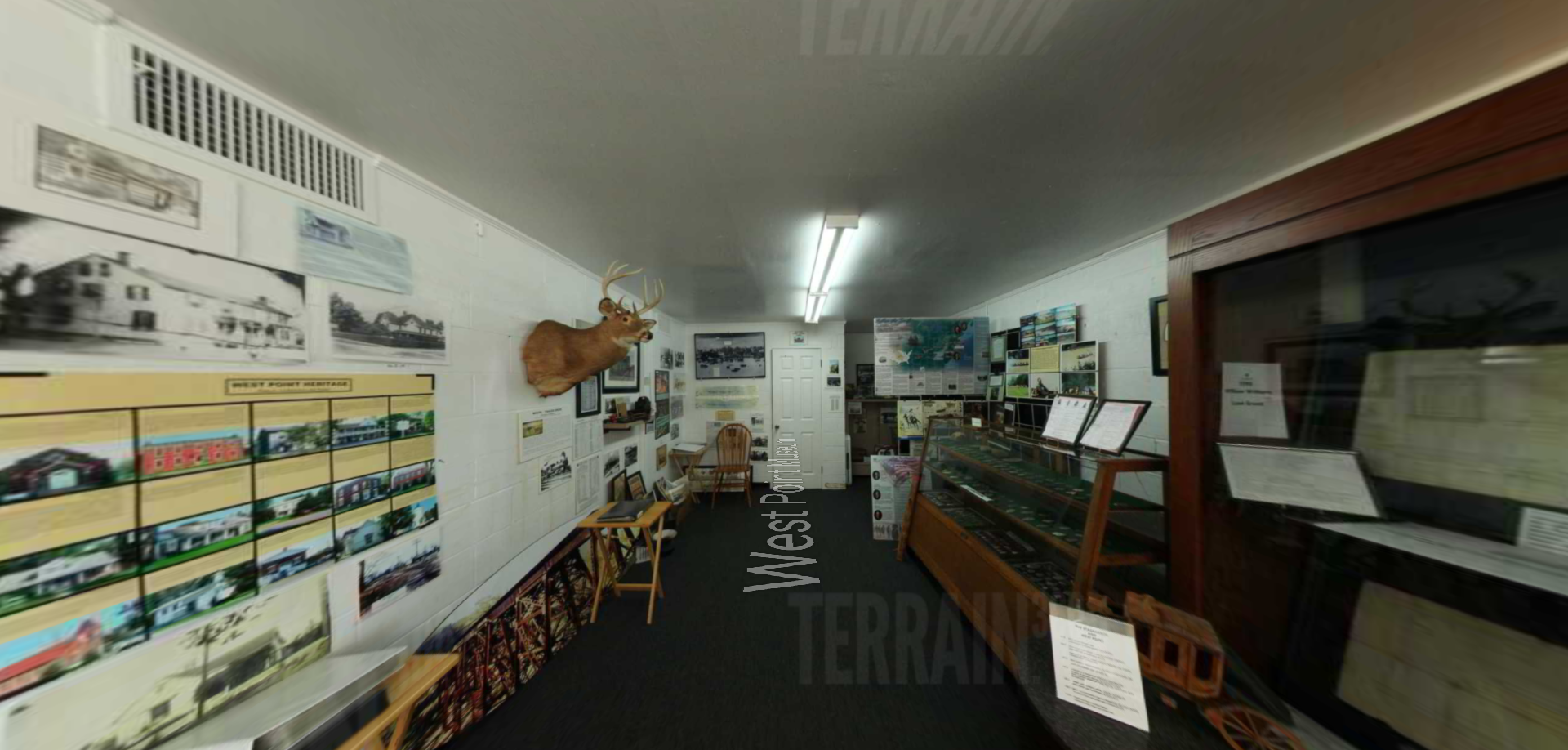
Portsmouth, Ohio
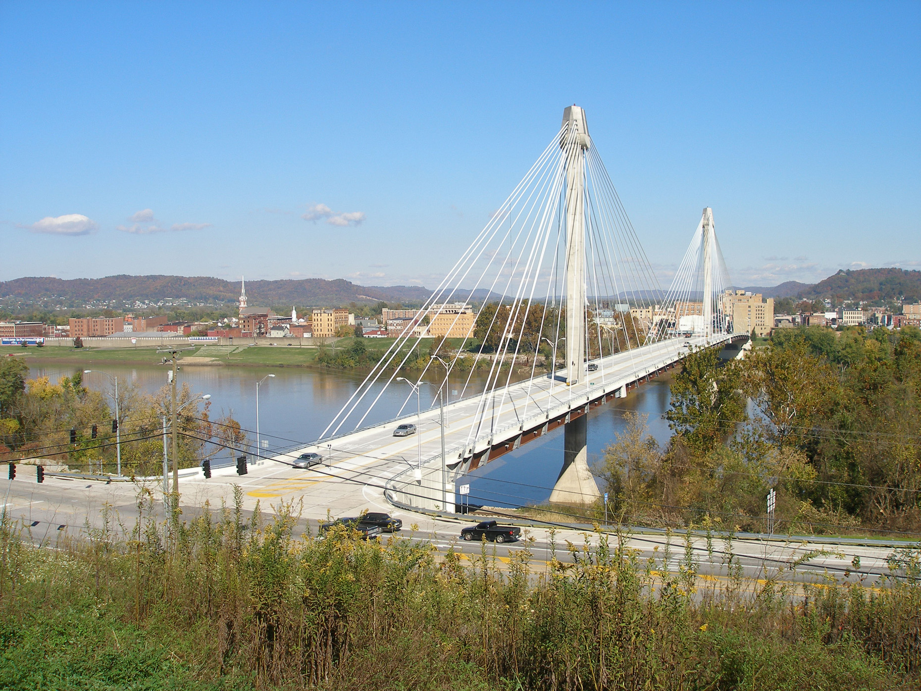
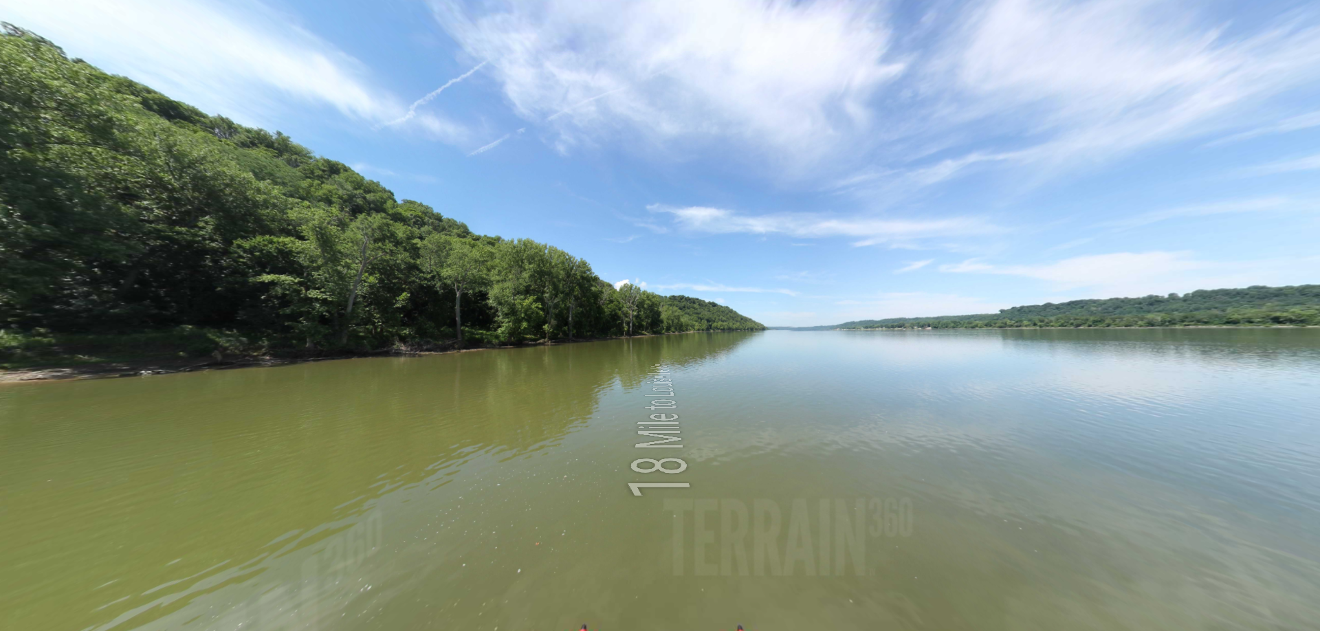
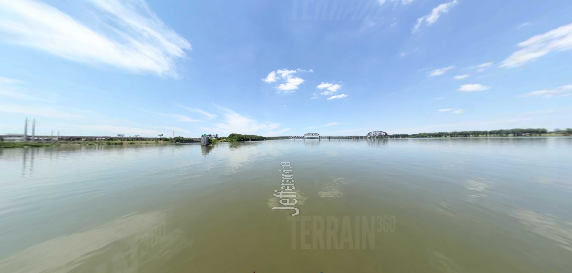
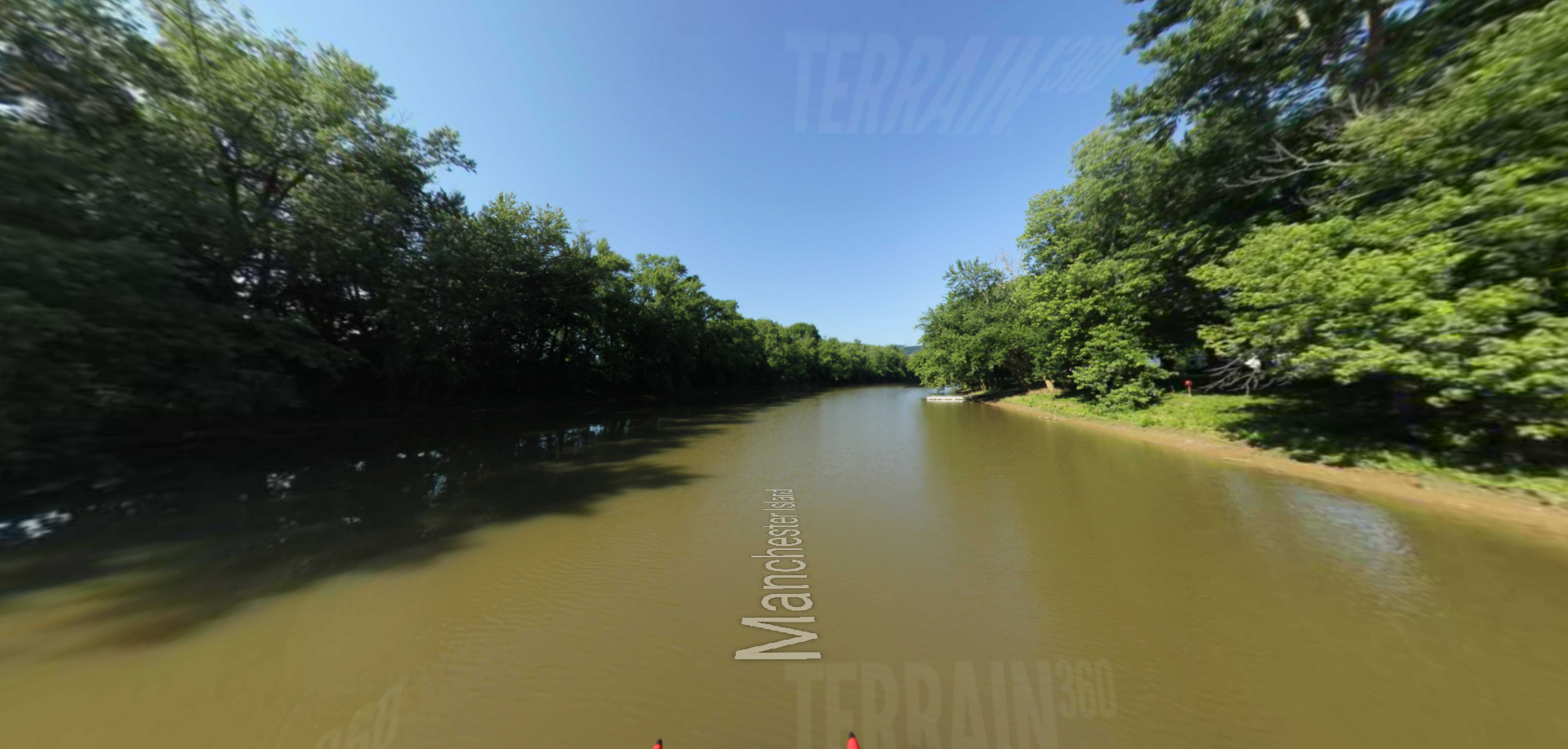
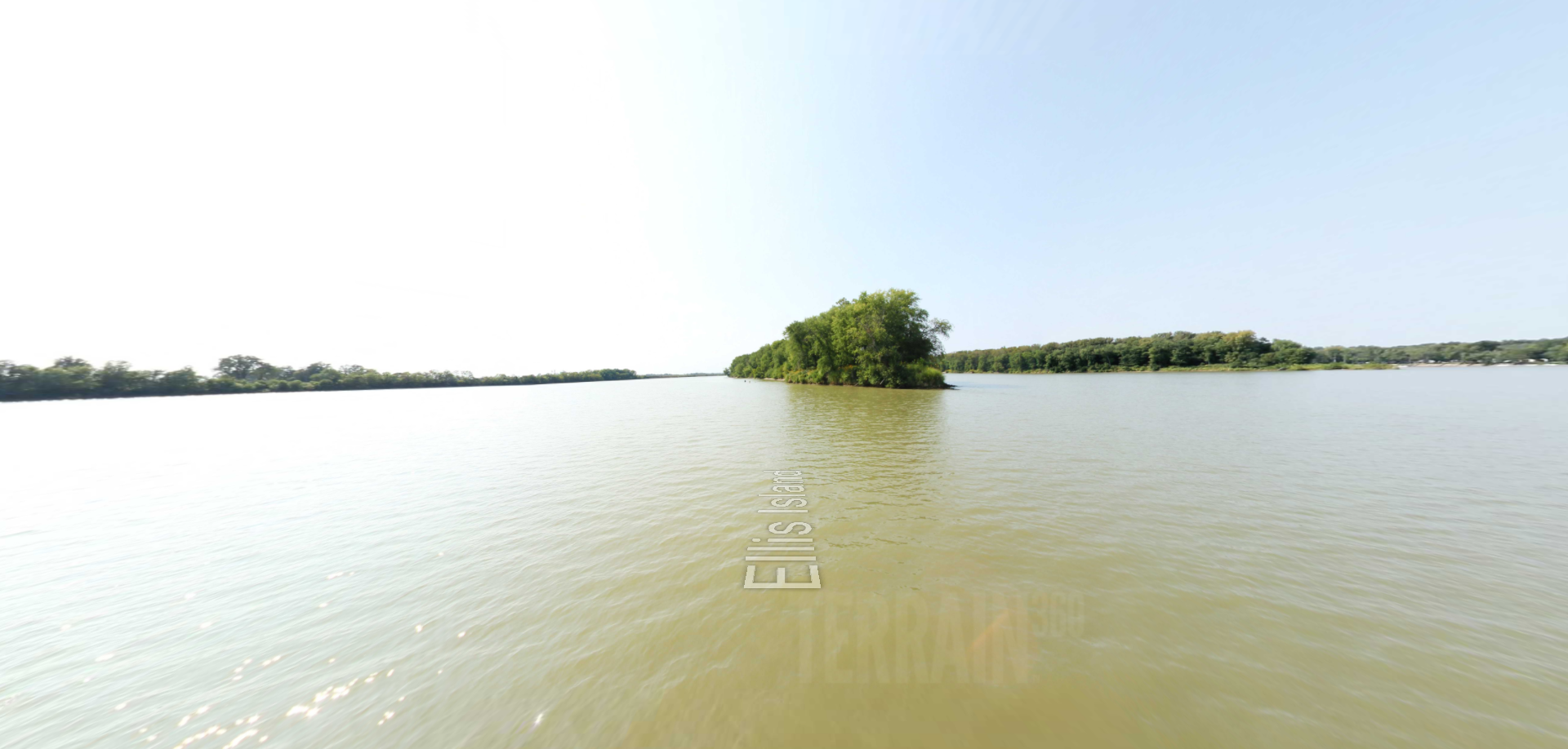
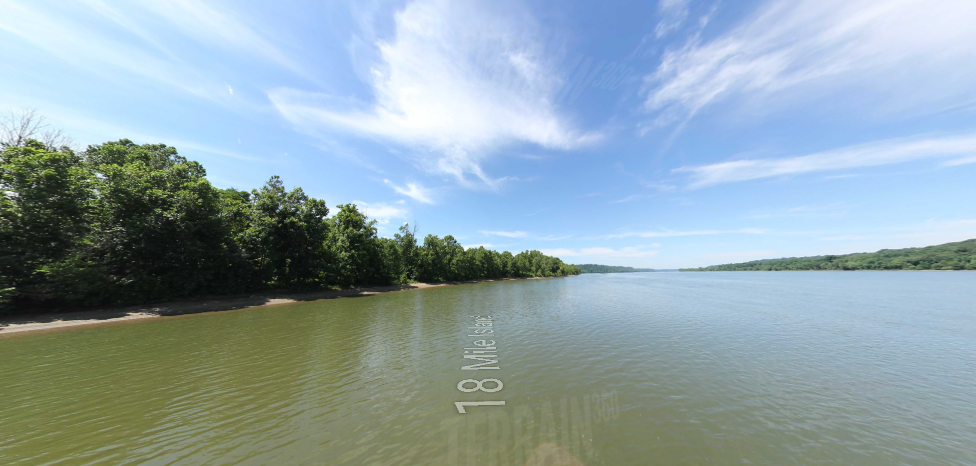
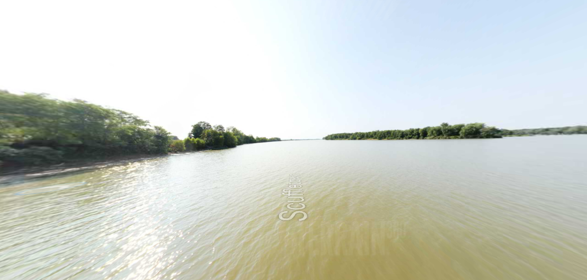
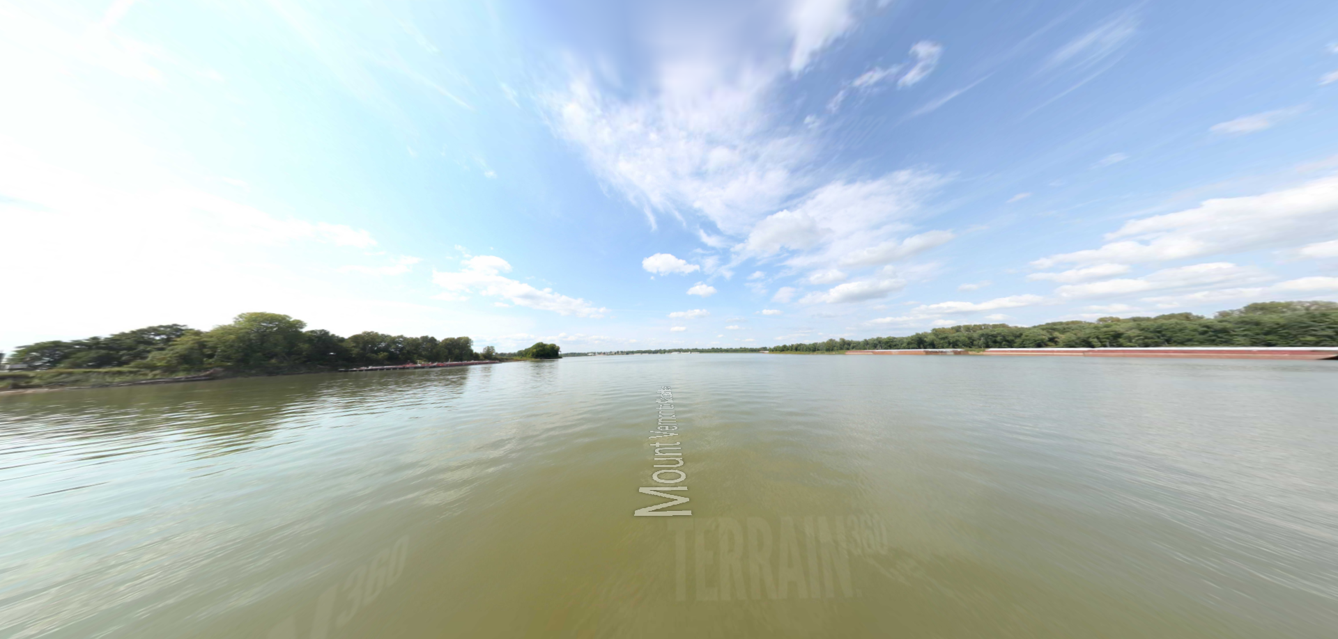
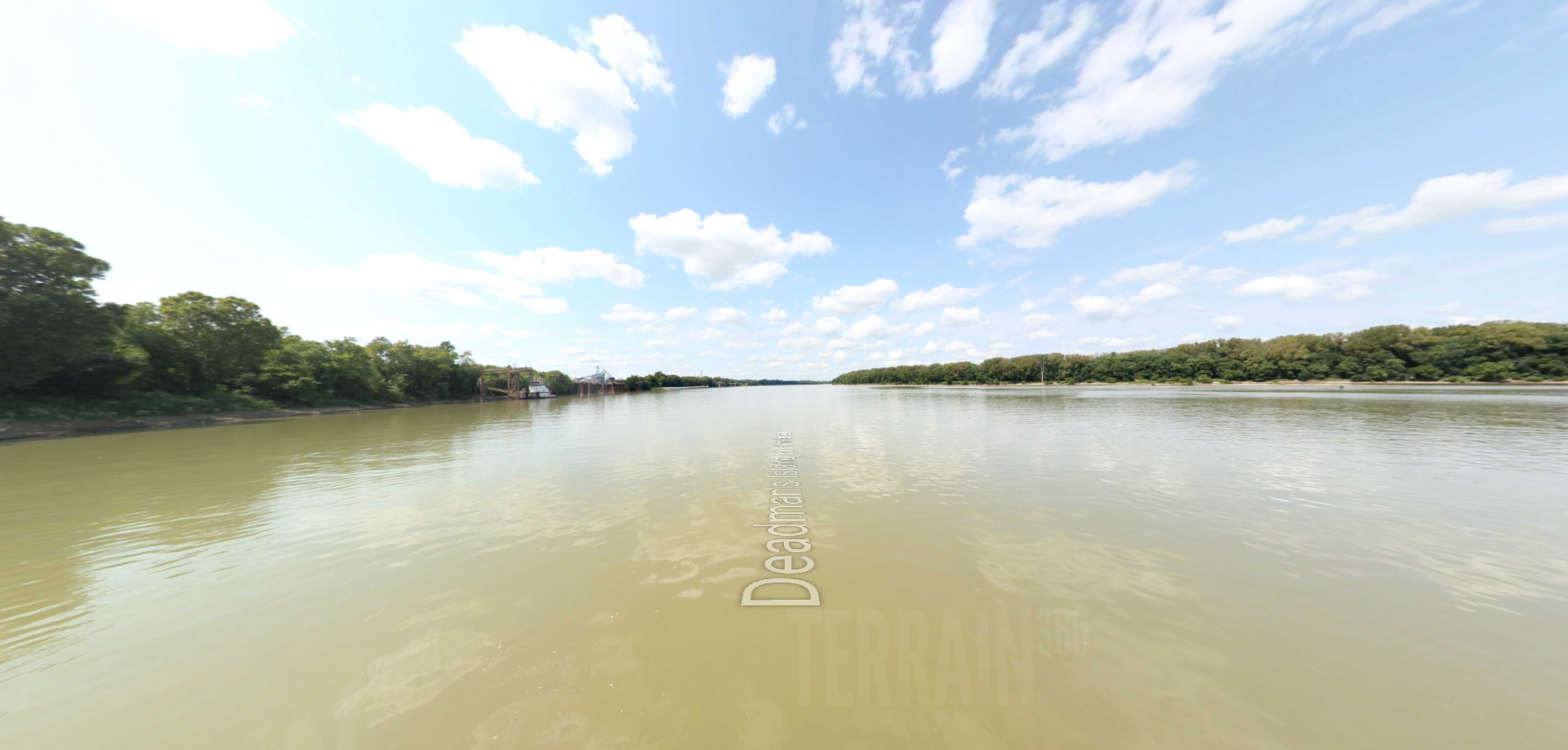
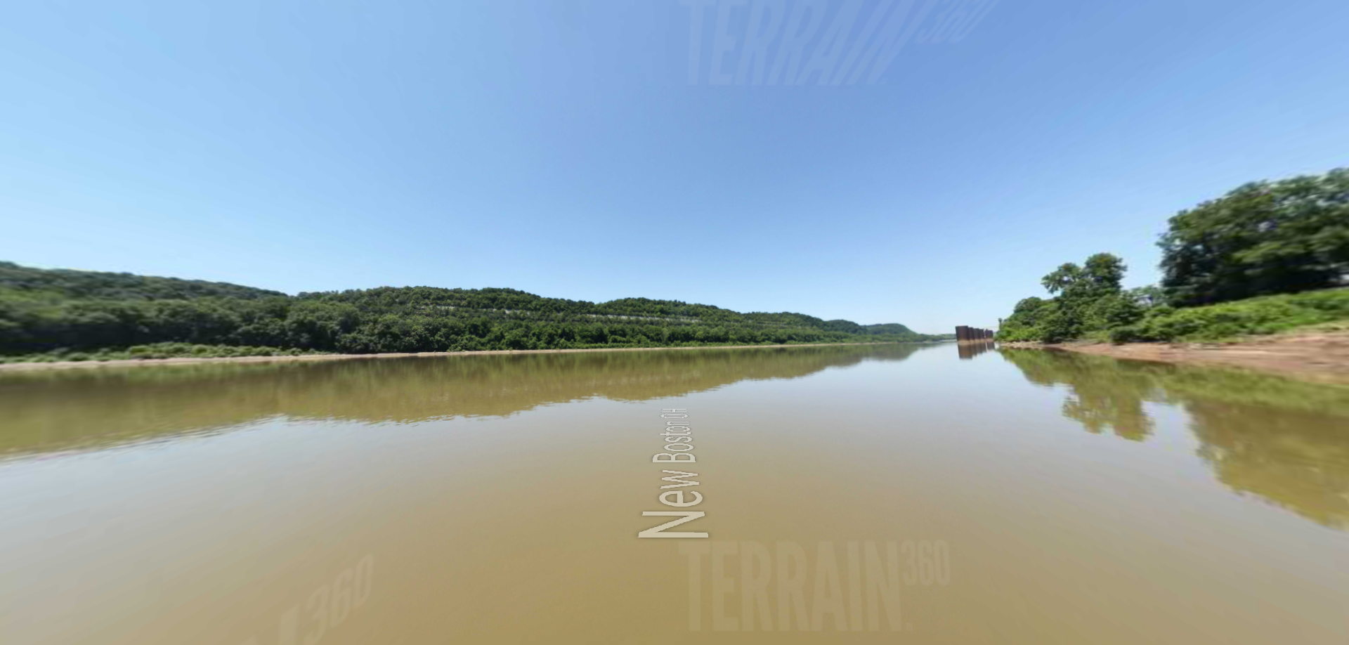
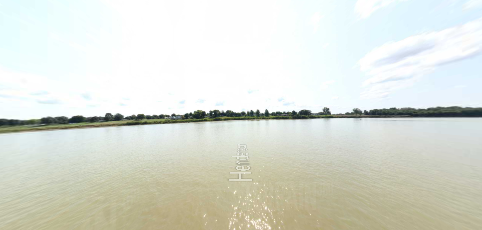
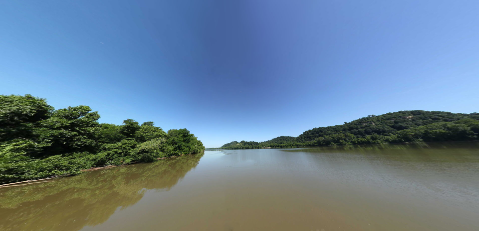
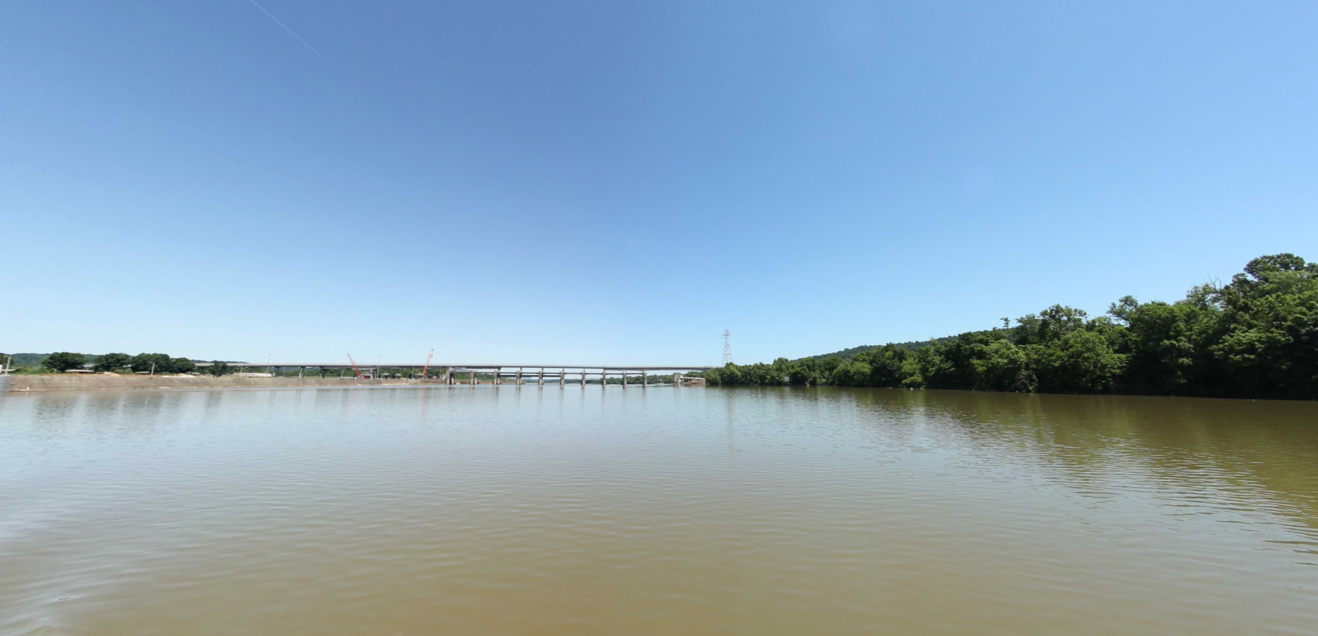
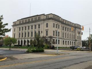
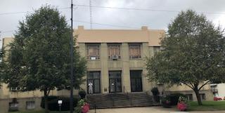
Portsmouth is a city that was settled in the late 1700’s and was incorporated in 1815. It is the county seat of Scioto County, Ohio and is located in southern Ohio 41 miles (66 km) south of Chillicothe. Portsmouth lies on the north bank of the Ohio River, across from Kentucky, just east of the mouth of the Scioto River.
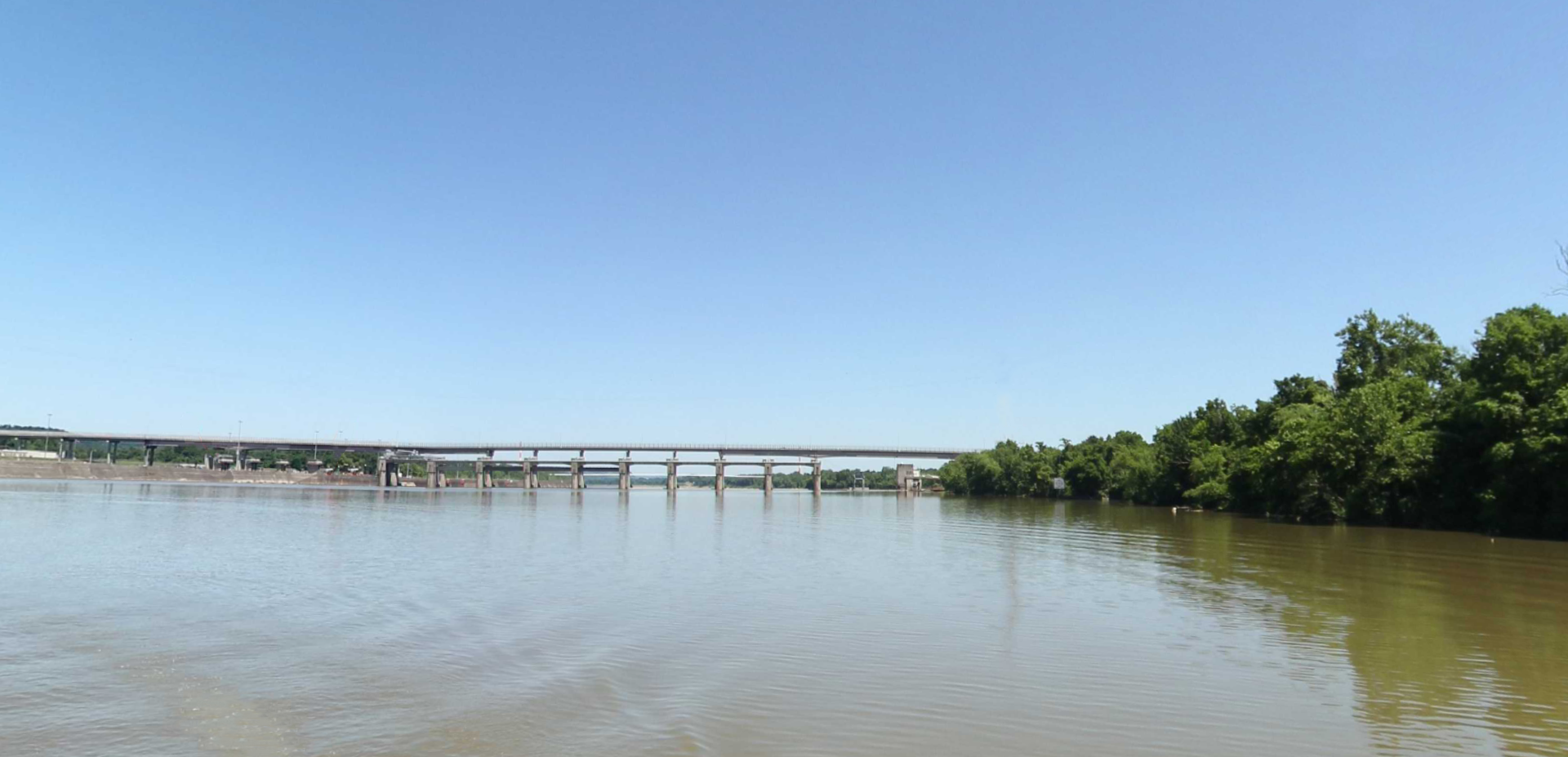
Portsmouth is at the confluence of the Ohio, Scioto, and Little Scioto Rivers. It is a midway point among four major cities: Charleston (West Virginia), Cincinnati and Columbus (Ohio), and Lexington (Kentucky), each of which are approximately ninety miles away (roughly a 1 hr 50 minute by car).
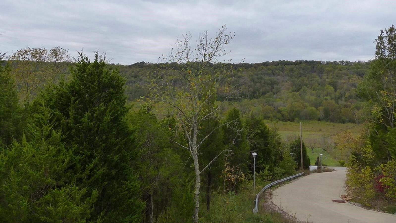
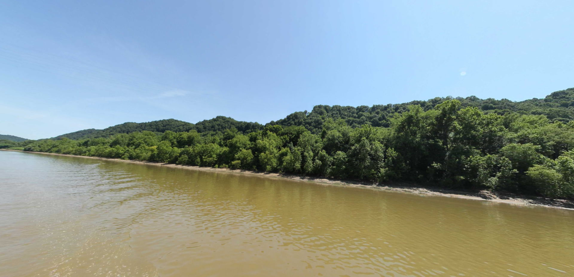
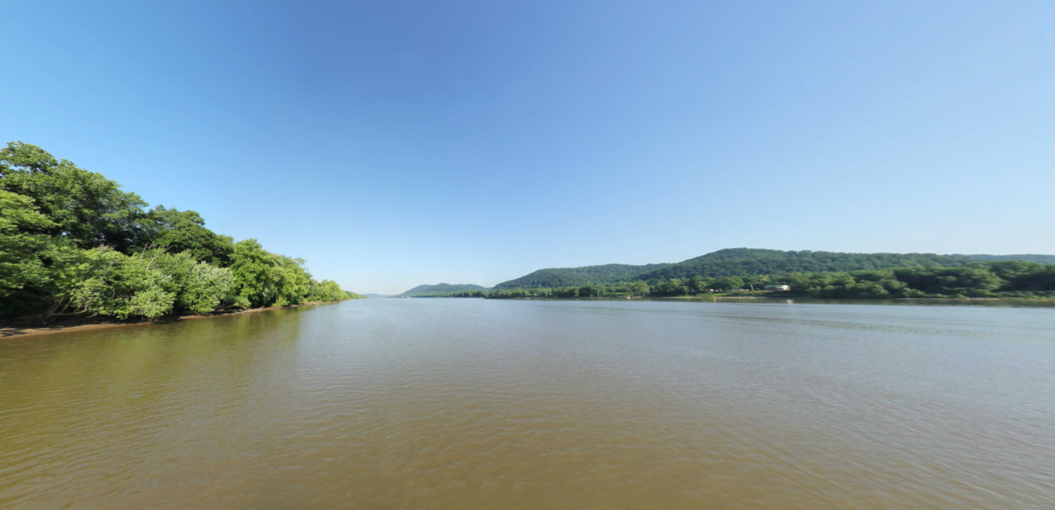
Much of Portsmouth’s terrain is quite hilly due to dissected plateau around it. It is within the eco-region of the Western Allegheny Plateau.
Portsmouth had a series of semi-pro football teams in the 1920’s and 1930’s, the most notable being the Portsmouth Shoe-Steels, whose roster included player-coach Jim Thorpe. From 1929 to 1933, the city was home to the Portsmouth Spartans, which joined the National Football League in 1930. The Spartans competed in the first professional football night game against the Brooklyn Dodgers in 1930. Despite their success, the team could not survive in the NFL’s second-smallest city during the Great Depression. This forced the team to be sold and moved to Detroit in 1934, where it became the Detroit Lions.
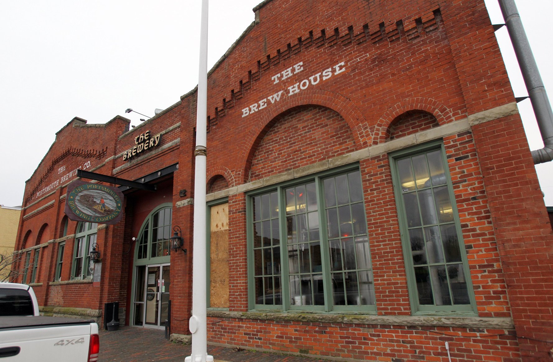
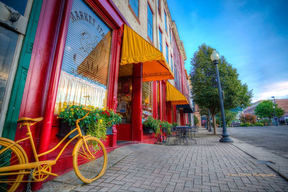
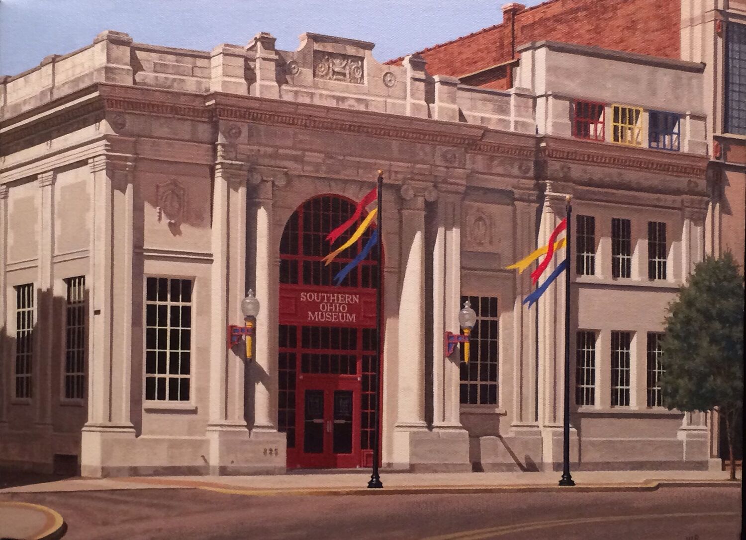
Portsmouth now has the “Portsmouth Flood Wall Murals’, depicting 2,000 Years of History-2,000 Feet of Art, a local micro-brewery, many local eateries, coffee breweries and the well-known Portsmouth Raceway Park. A quick 13 minute drive will take visitors away from the city and into the 63,000+ acres of Shawnee State Forest.
Distance Unit:
Distance Unit: