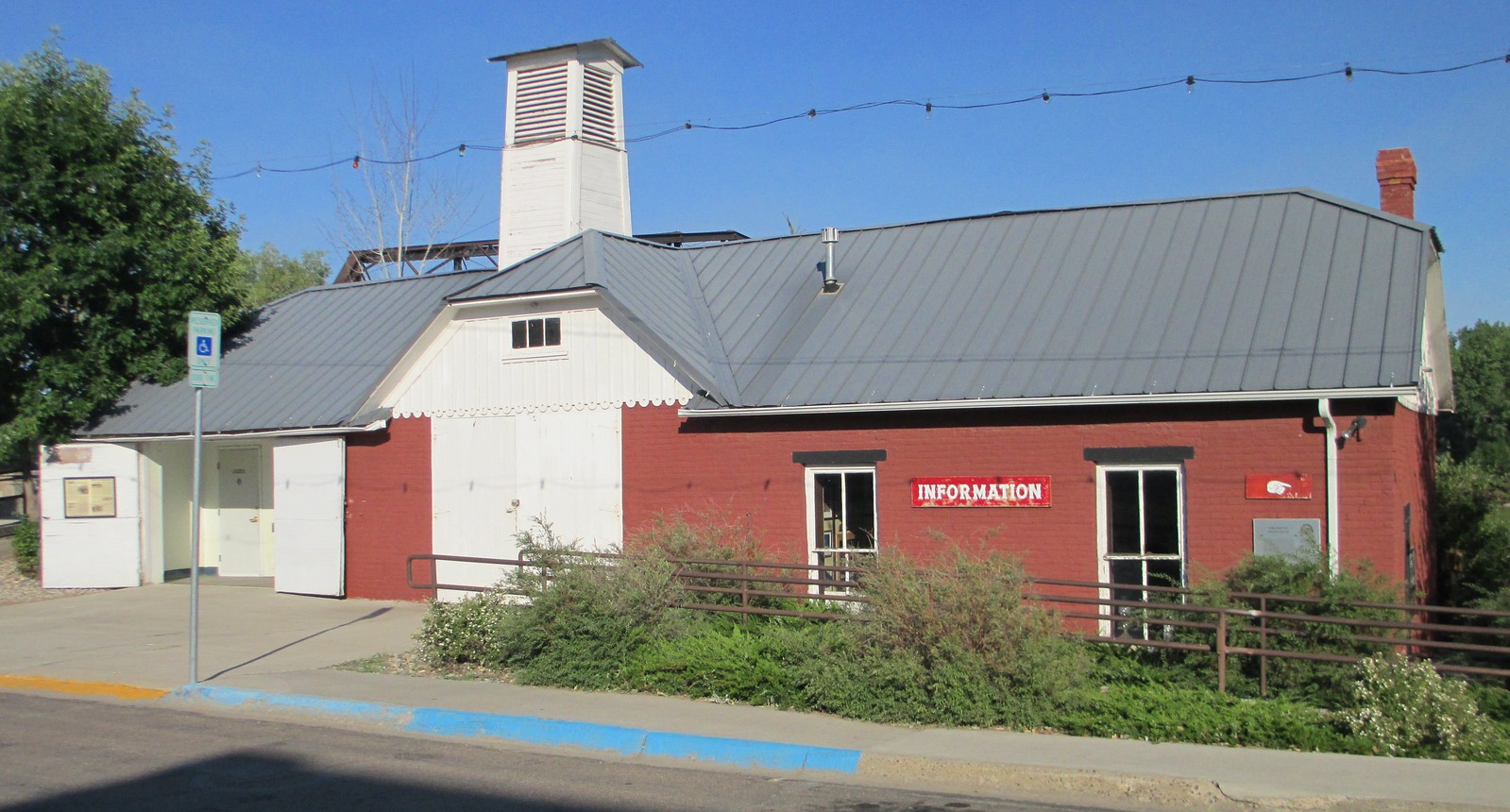
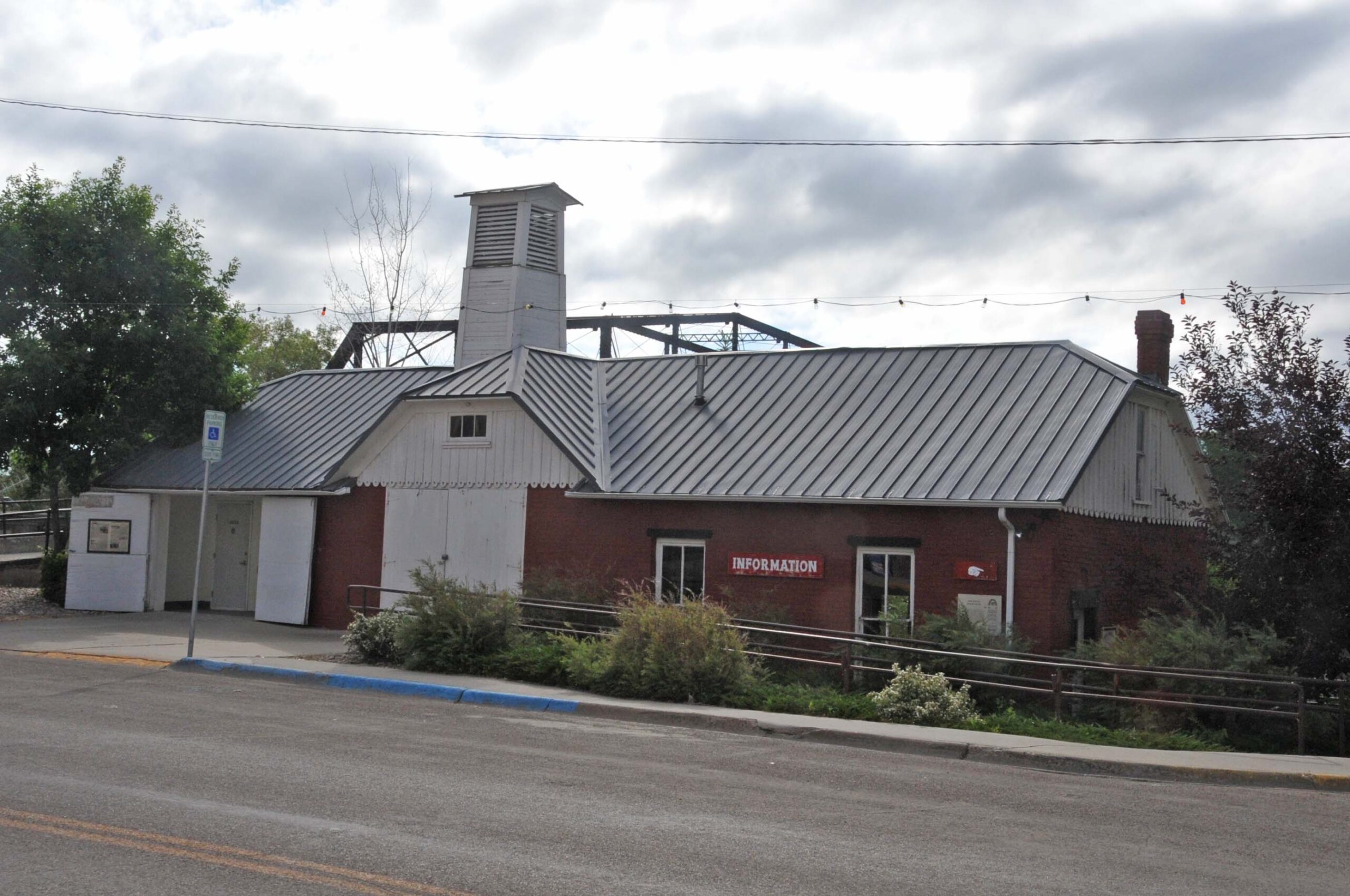
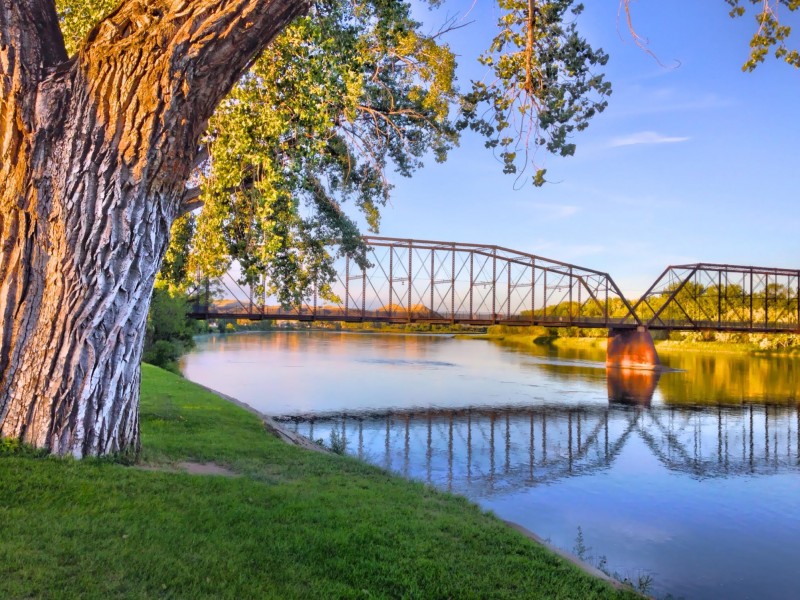
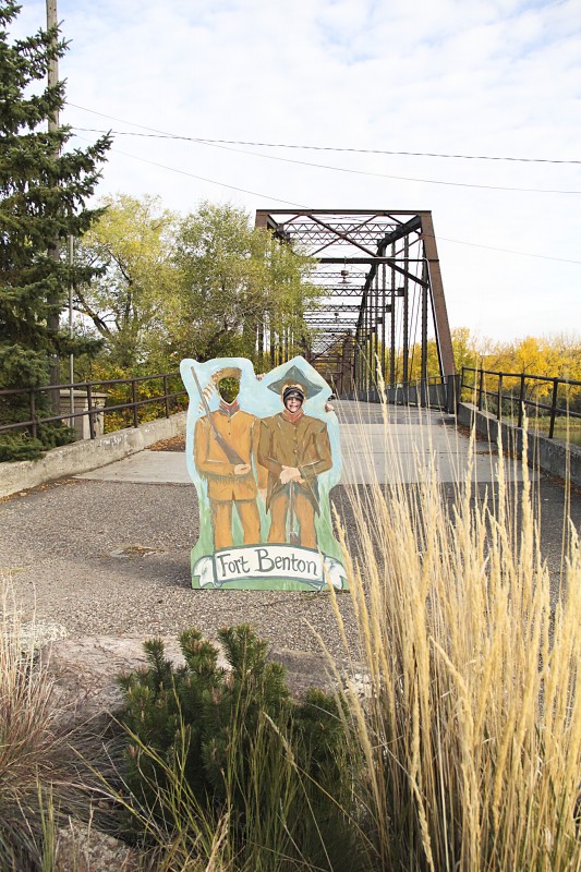
Old Fort Benton Bridge
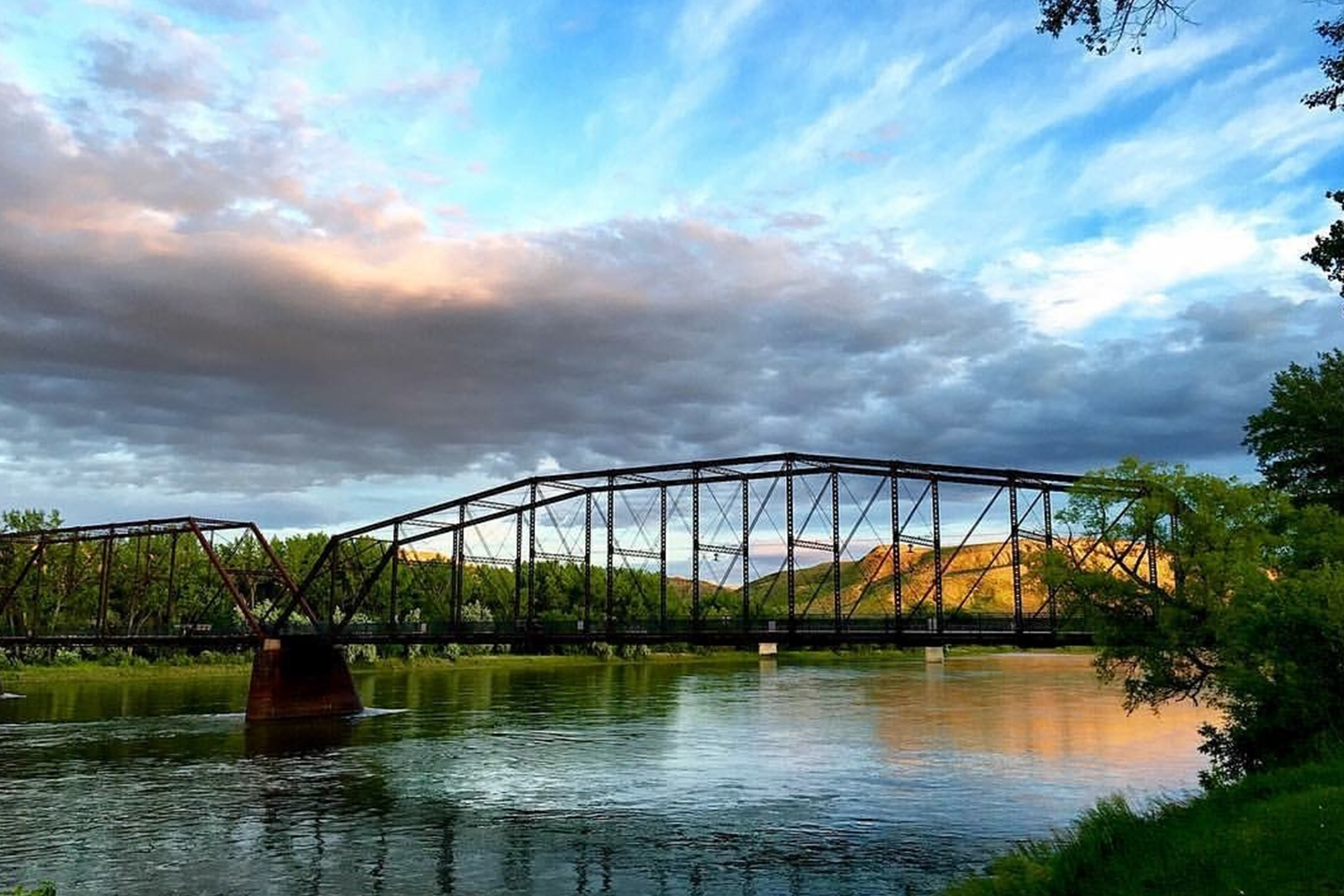
First bridge to span the Missouri River in Montana. The first span was a swing span to allow passage of steamboat. First bridge to span the Missouri River in Montana. The first span was a swing span to allow passage of steamboat. The flood of 1908 collapsed the swing span, it was replaced by the present one in 1921. The bridge has been restored by the community and is now open to foot traffic. (www.fortbenton.com/leveetour)
Distance Unit:
Distance Unit:


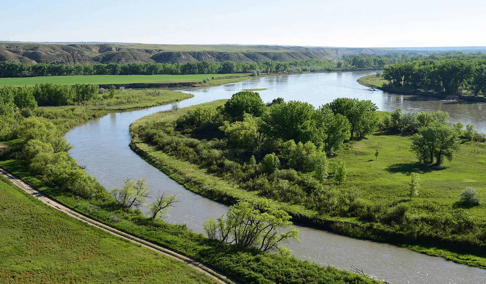
A trail starting at Hauser Dam and overlooking the Missouri River.