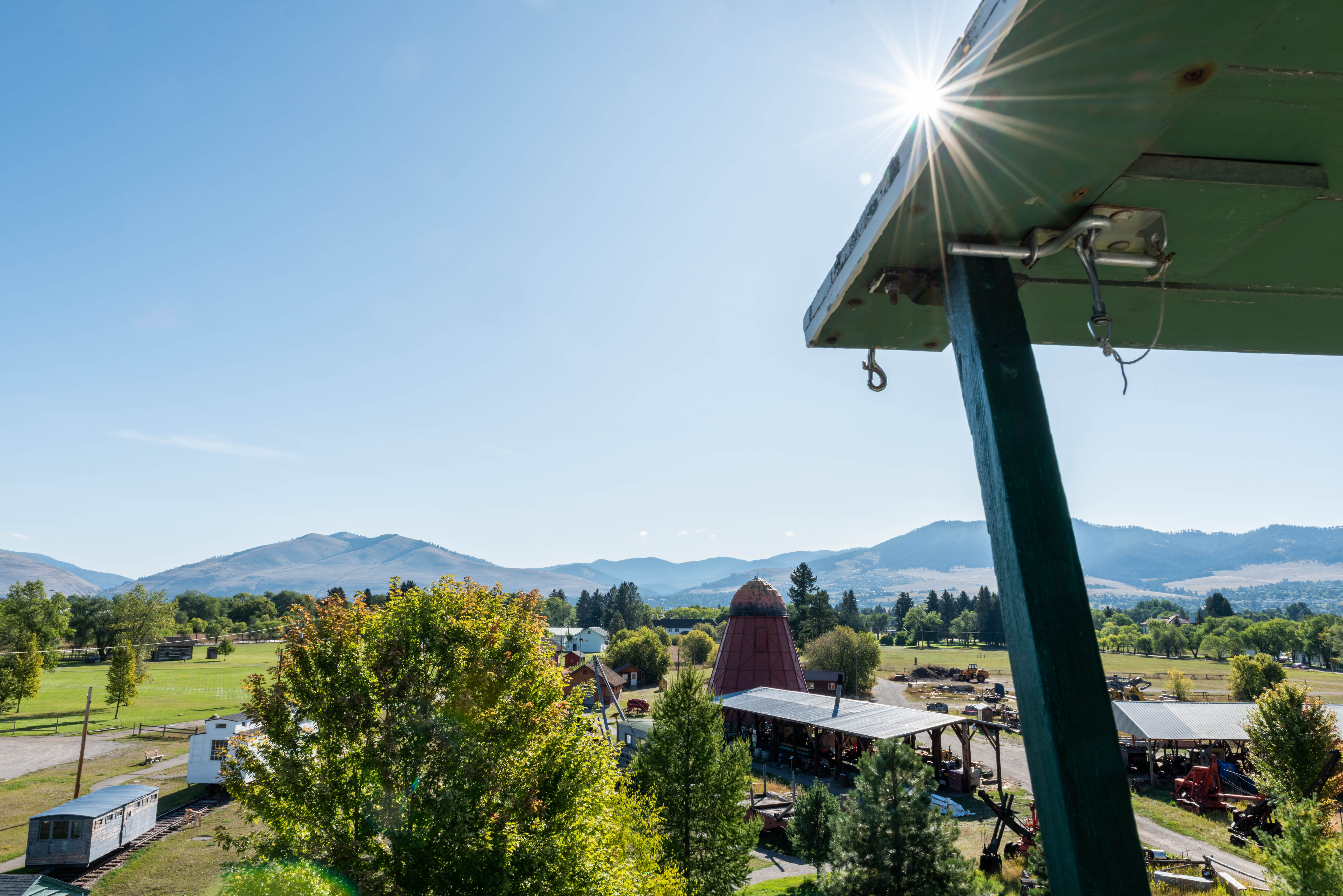
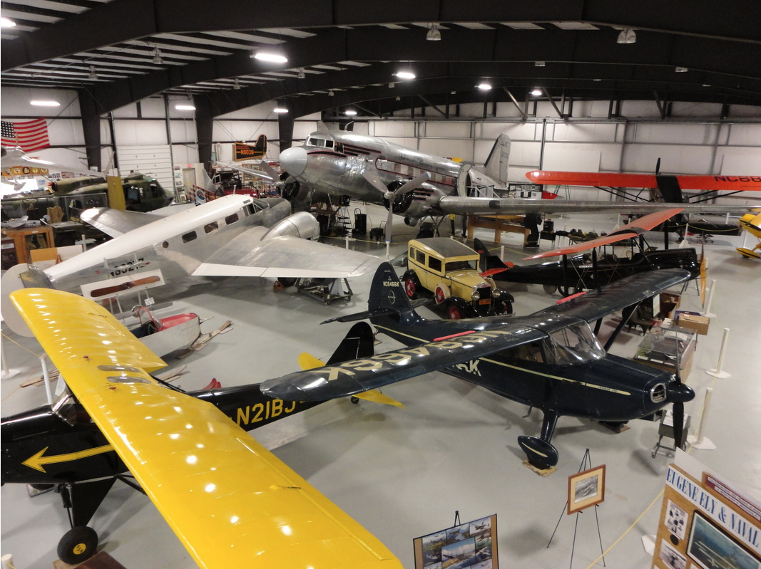
Museum of Mountain Flying
Guides and Tours
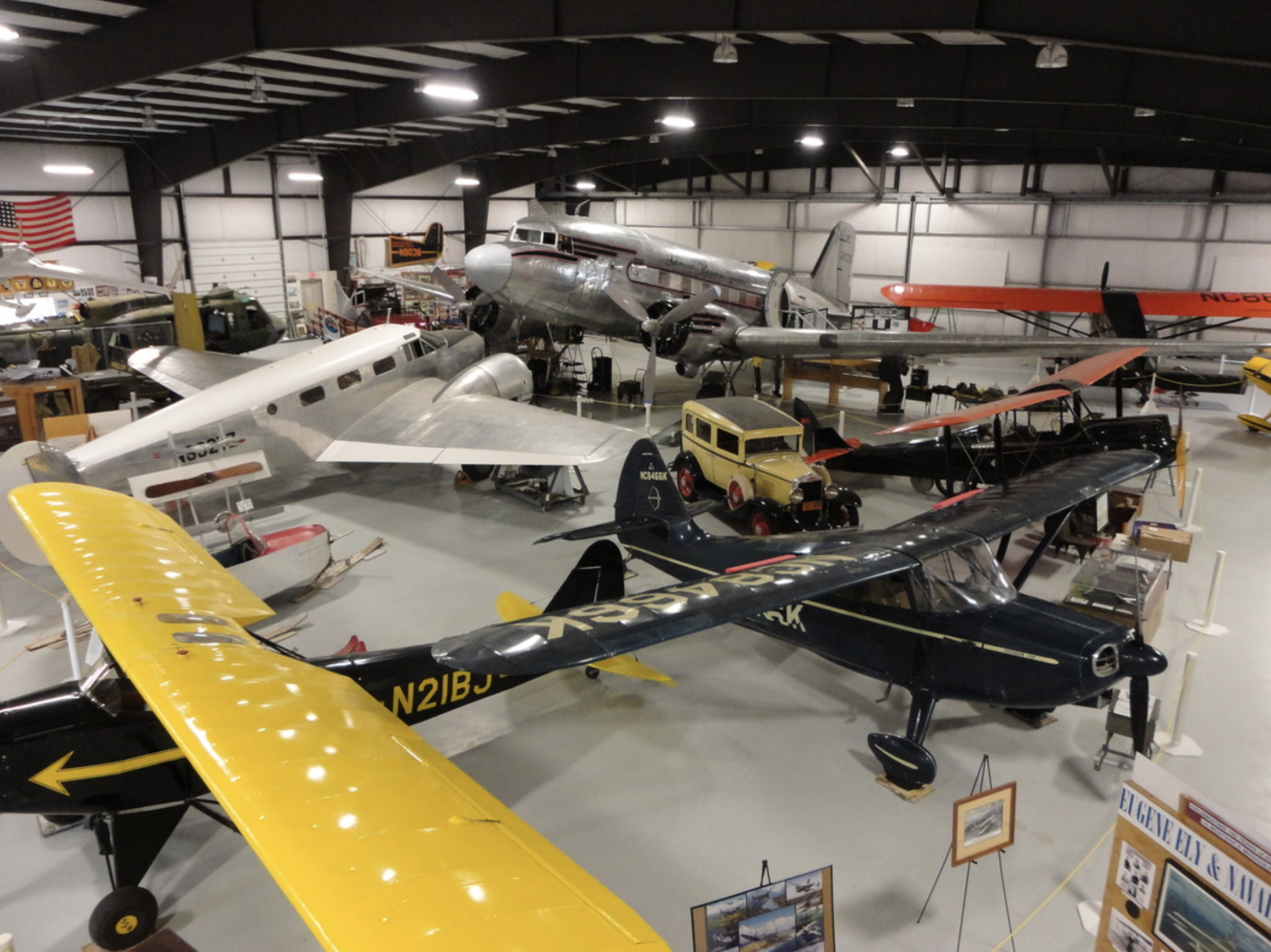
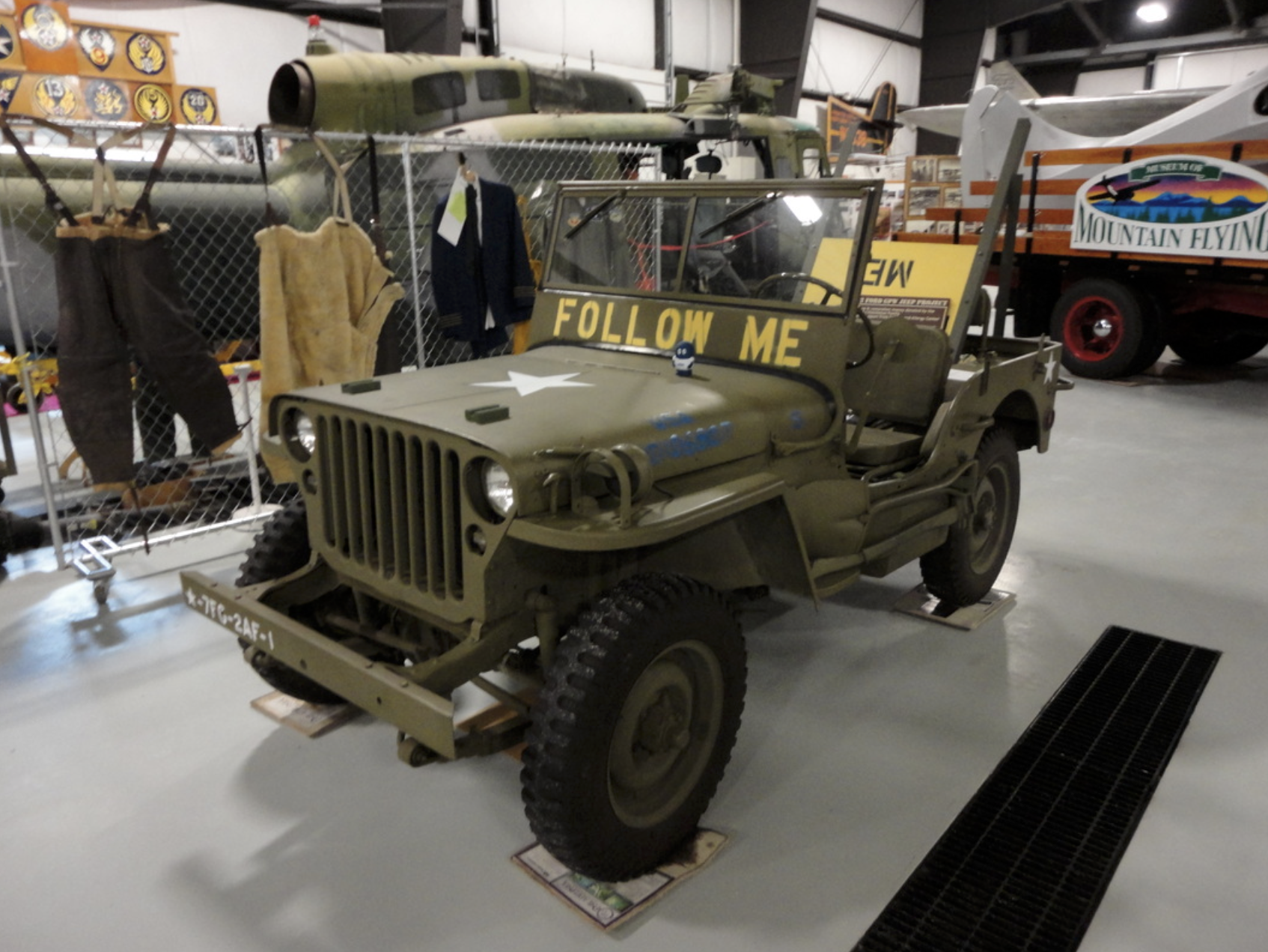
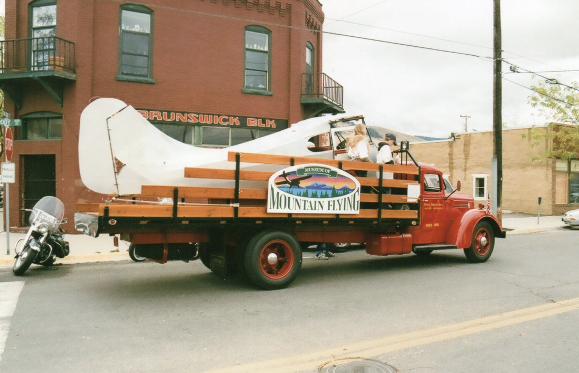
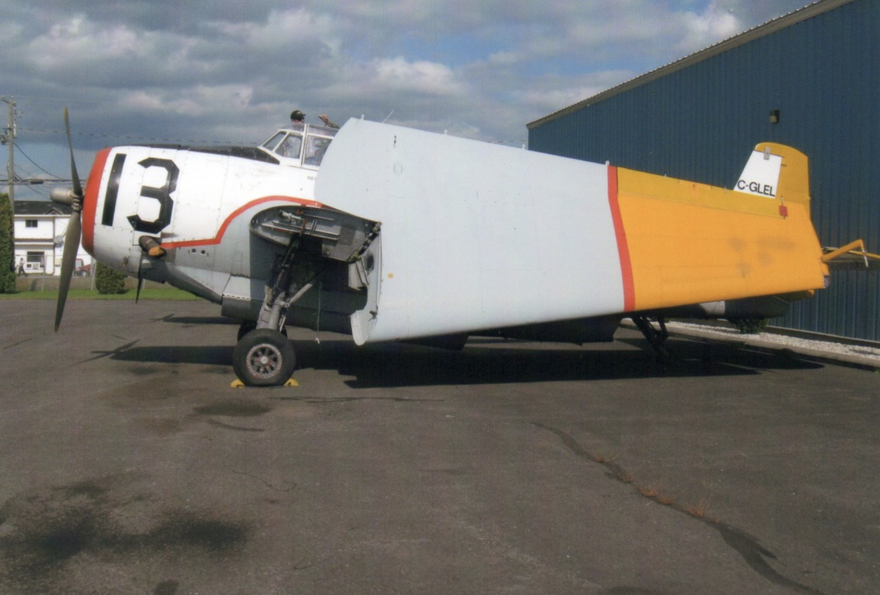
Museum, Theatre, or Intrepretive Center
History
5843, Museum Way
Missoula
Montana
59808