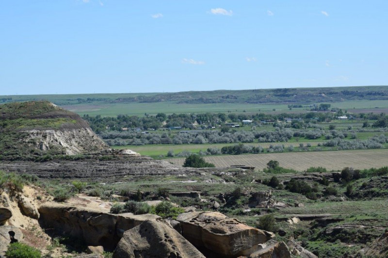
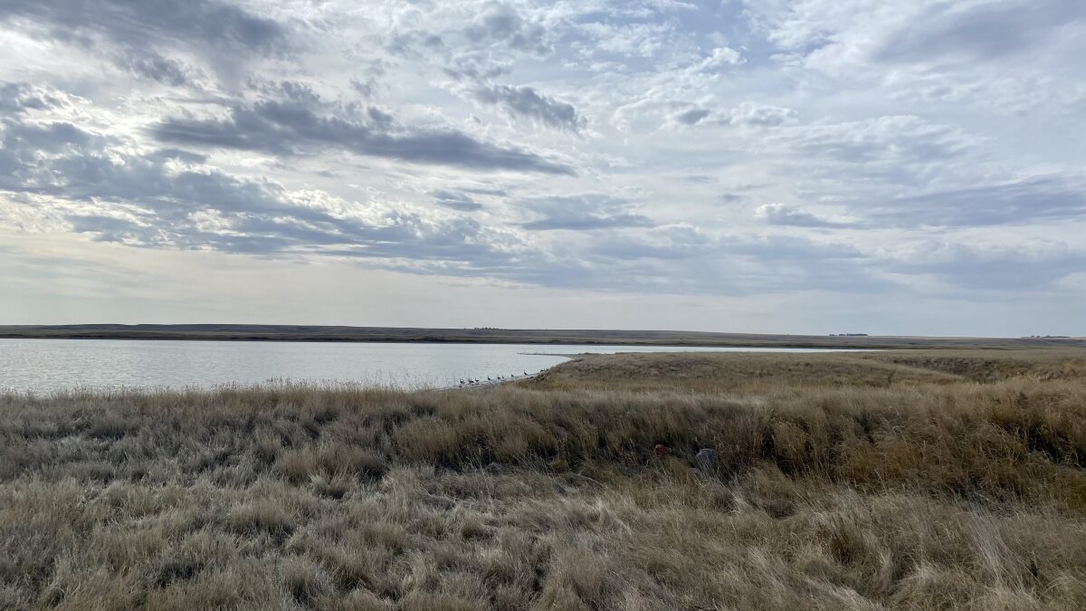
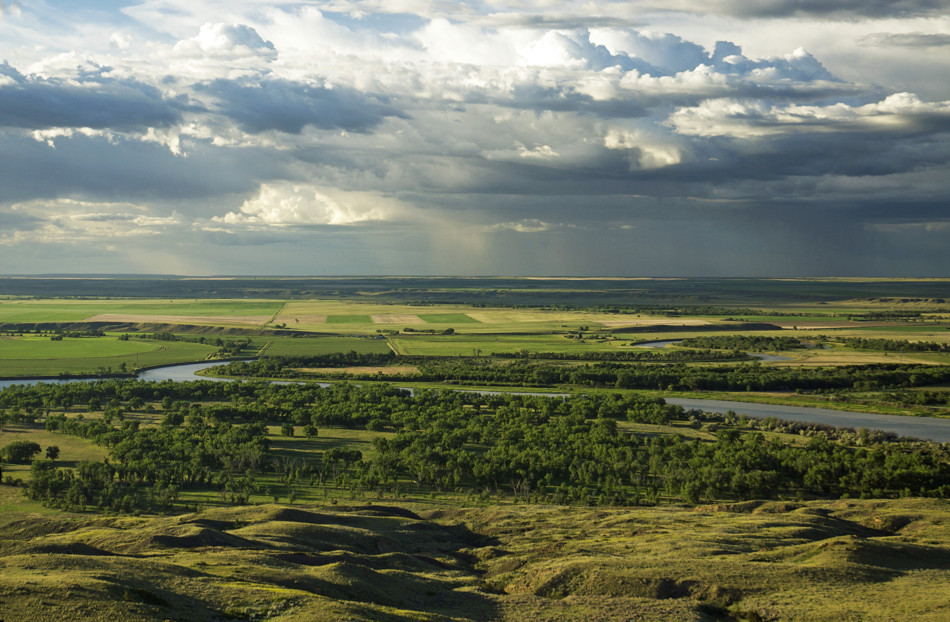
Milk River Confluence
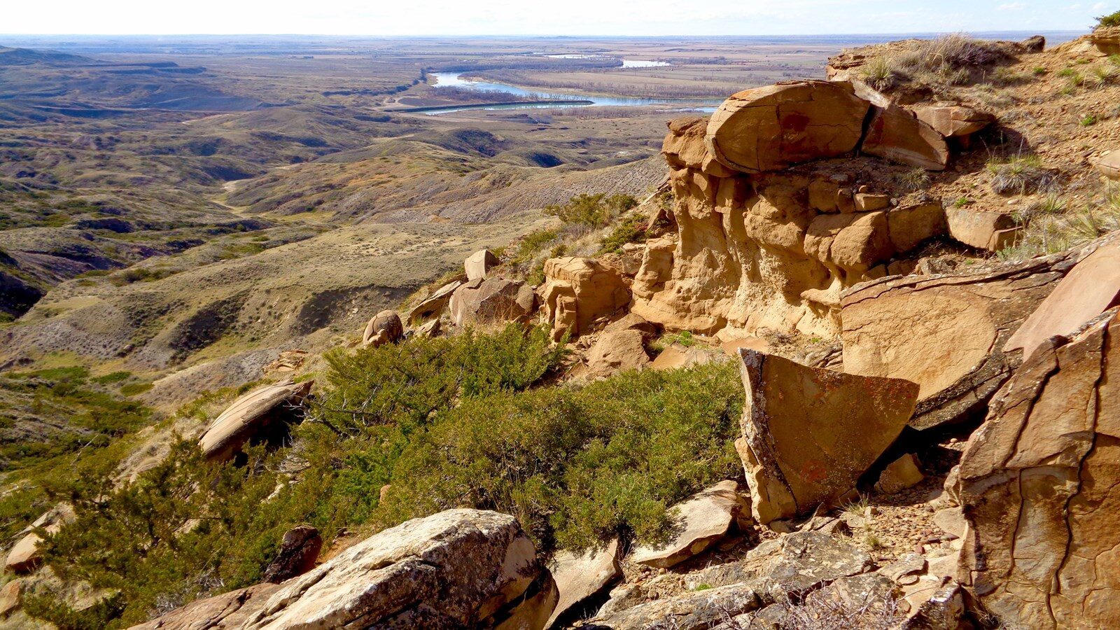
The Milk River rises in the Rocky Mountains of northern Montana and flows for 721 miles, running north into the Canadian province of Alberta, and then southeast to the confluence with the Missouri River near Fort Peck, Montana. The distinctive color of the Milk River is the result of fine clay and silt sediments that erode along the river basin in Alberta and remain suspended in the waters. Ownership of properties surrounding the confluence is mixed between the U.S. Army Corps of Engineers, the Fort Peck Indian Reservation, and privately-owned land.
On May 8, 1805, the expedition arrived at the confluence of waters they named the Milk River. Lewis wrote, “the water of this river possesses a peculiar whiteness, being about the colour of a cup of tea with the admixture of a tablespoonfull of milk. from the colour of it’s water we called it Milk river.” They correctly surmised that this was the “River which scolds at all others” or “Ah-mâh-tâh, ru-shush-sher” which the Hidatsa had first told them about during their stay at Fort Mandan. Whitehouse noted that, “We halted at a point above the Mouth of this River to dine, where Some of our party went a short distance up this River […they reported] that the River continued its breadth and depth as high up as where they had been—the Water Clear, and deep; the banks tolerably high, and the land very rich, and the country fertile, being partly Priaries and some Skirts of woodland.”
Distance Unit:
Distance Unit: