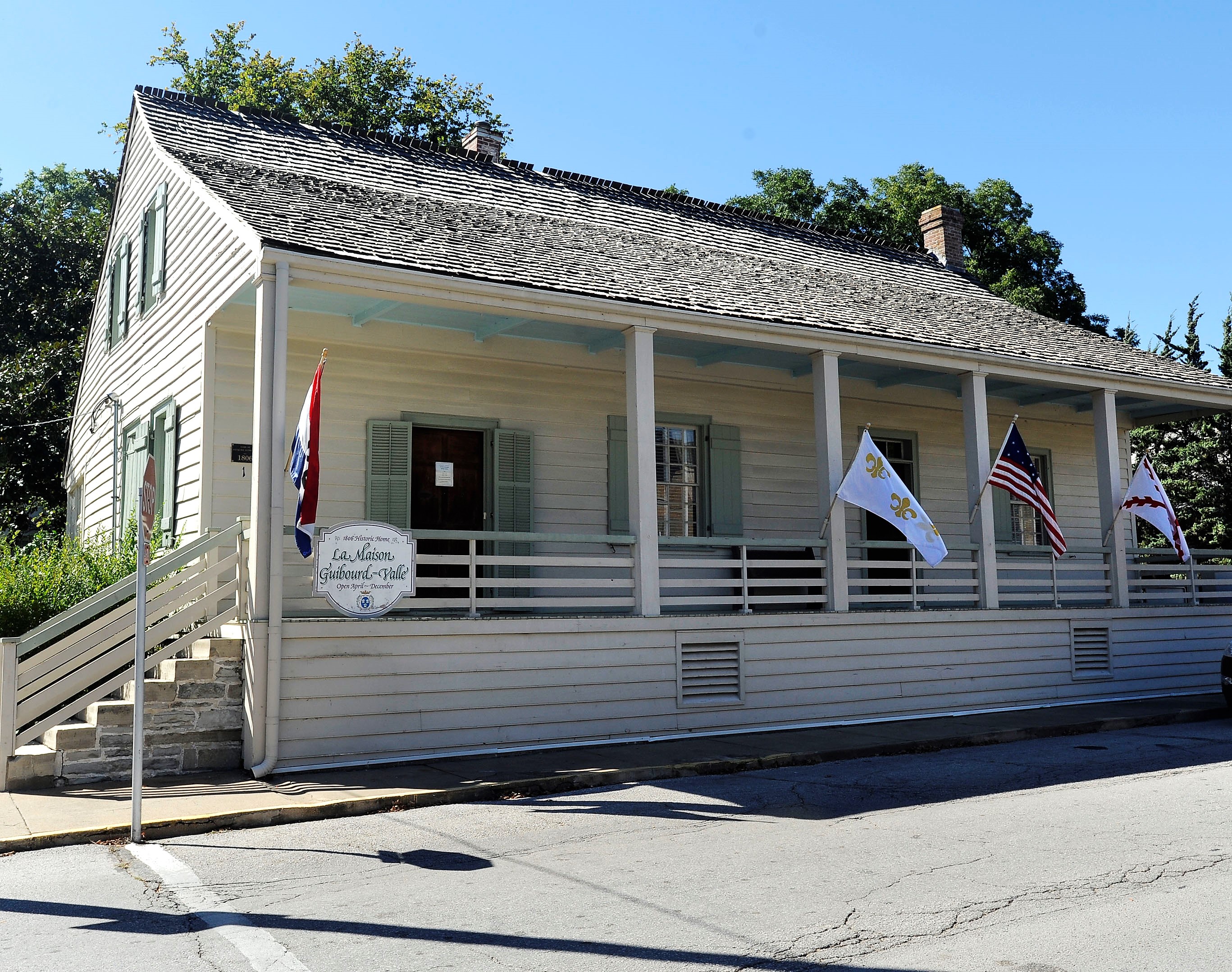
Magnolia Hollow Conservation Area
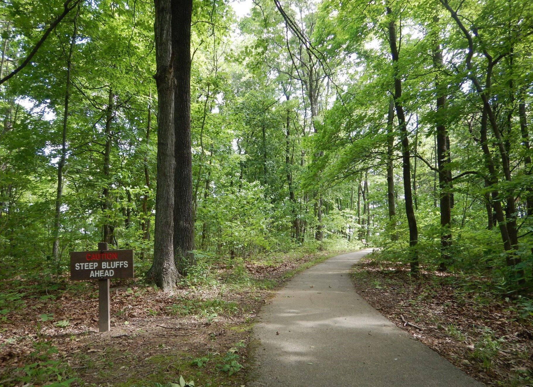
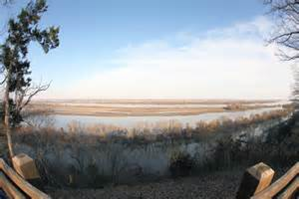
Magnolia Hollow Conservation Area is located 10 miles north of Ste. Genevieve along the Mississippi River and Establishment Creek. A paved trail ends at a disabled accessible viewing platform which provides a panoramic view of the river bottom lands and waterways. In the winter, eagles may soar by or be roosting in trees along the river.
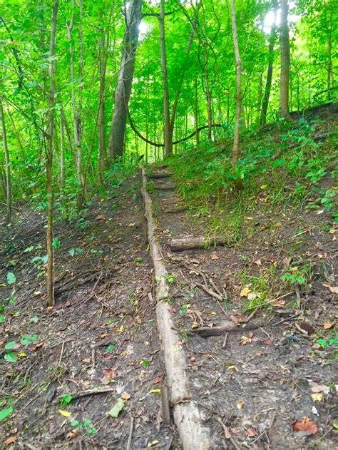
Continue on the one mile trail that loops through this rugged 1,740 acre area overlooking steep bluffs and winding through the woods. Bear to the right when you get to the bottom of the hill. Walk away from the bench toward the creek bed and curve to the right to find the trail “stepping” up the hill. This will take you back to the paved path.
Other facilities available at this conservation area include a skeet range, an archery range, and a rugged camping area with no facilities.
Directions: Take Highway 61 to Route V and go east 1 mile. Then turn left onto Magnolia Hollow Road and continue until it dead ends at a parking area in Magnolia Hollow.
Distance Unit:
Distance Unit:


A boat ramp to the beautiful Missouri River with a peaceful view of the river.


Explore the Trail of Tears State Park to delve into a somber chapter in American history. Here, nine Cherokee Indian groups crossed the harsh winter Mississippi River in 1838-1839 during their forced relocation to Oklahoma.…


The path taken by Chief John Ross on his way to Cairo. (https://www.hmdb.org/m.asp?m=161480)


Here, nine Cherokee Indian groups braved harsh winter conditions while crossing the Mississippi River in 1838-1839, marking a sorrowful chapter in American history. The park also has: shaded picnic sites, hiking and horse trails, opportunities to fish…