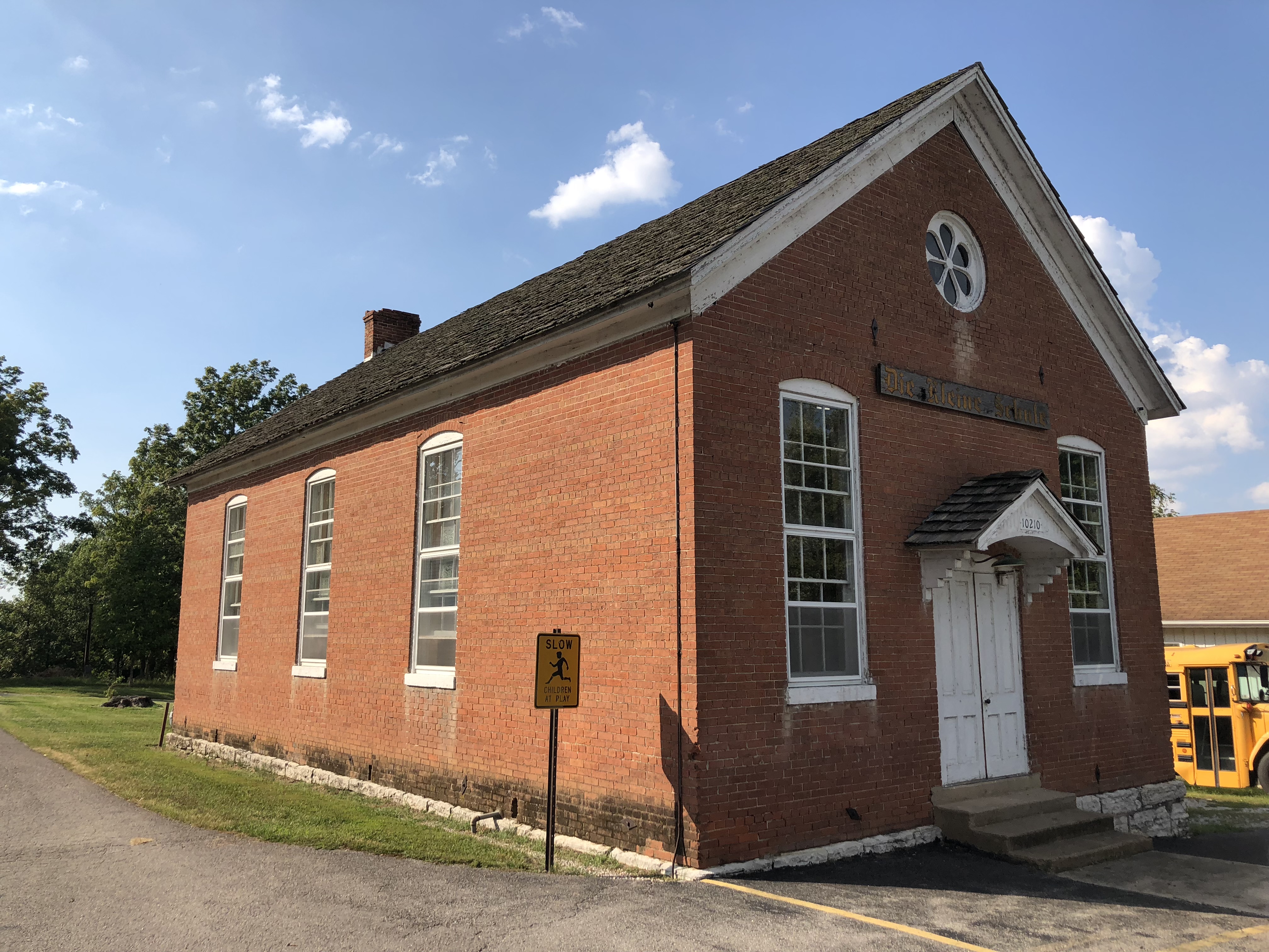
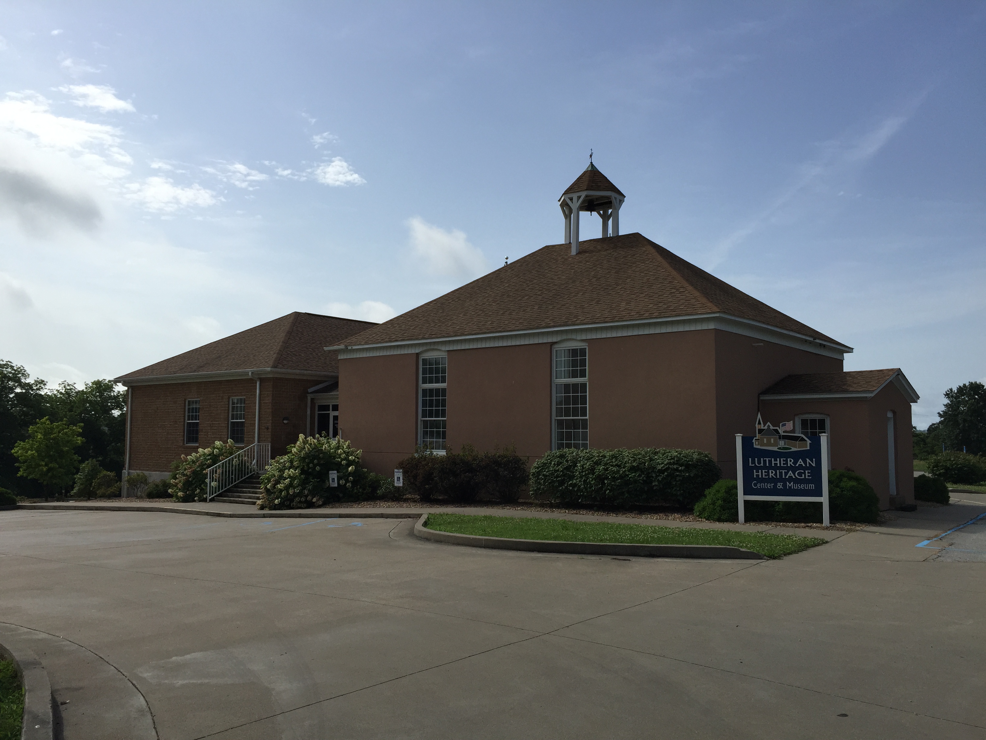
Lutheran Heritage Center & Museum
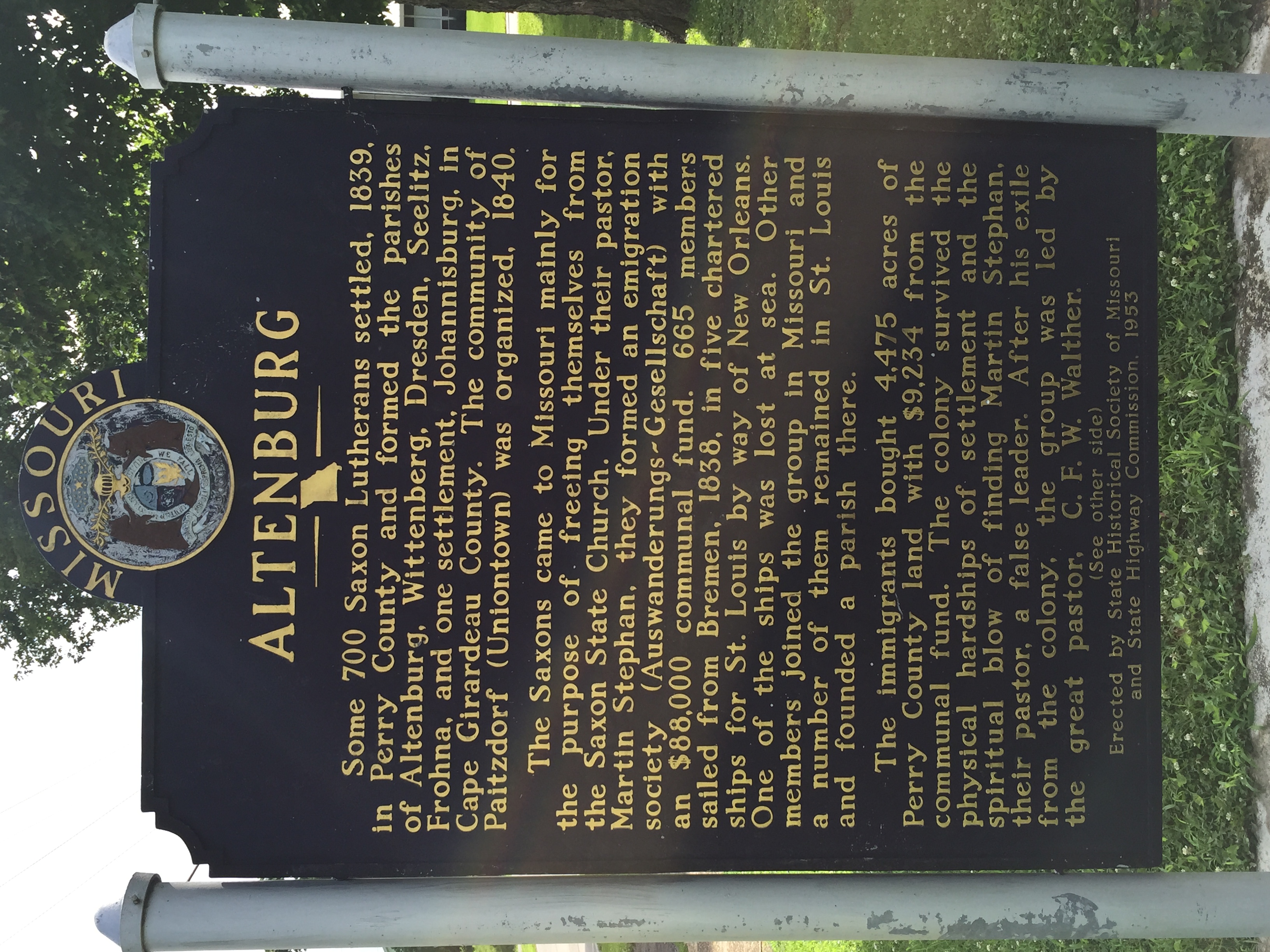
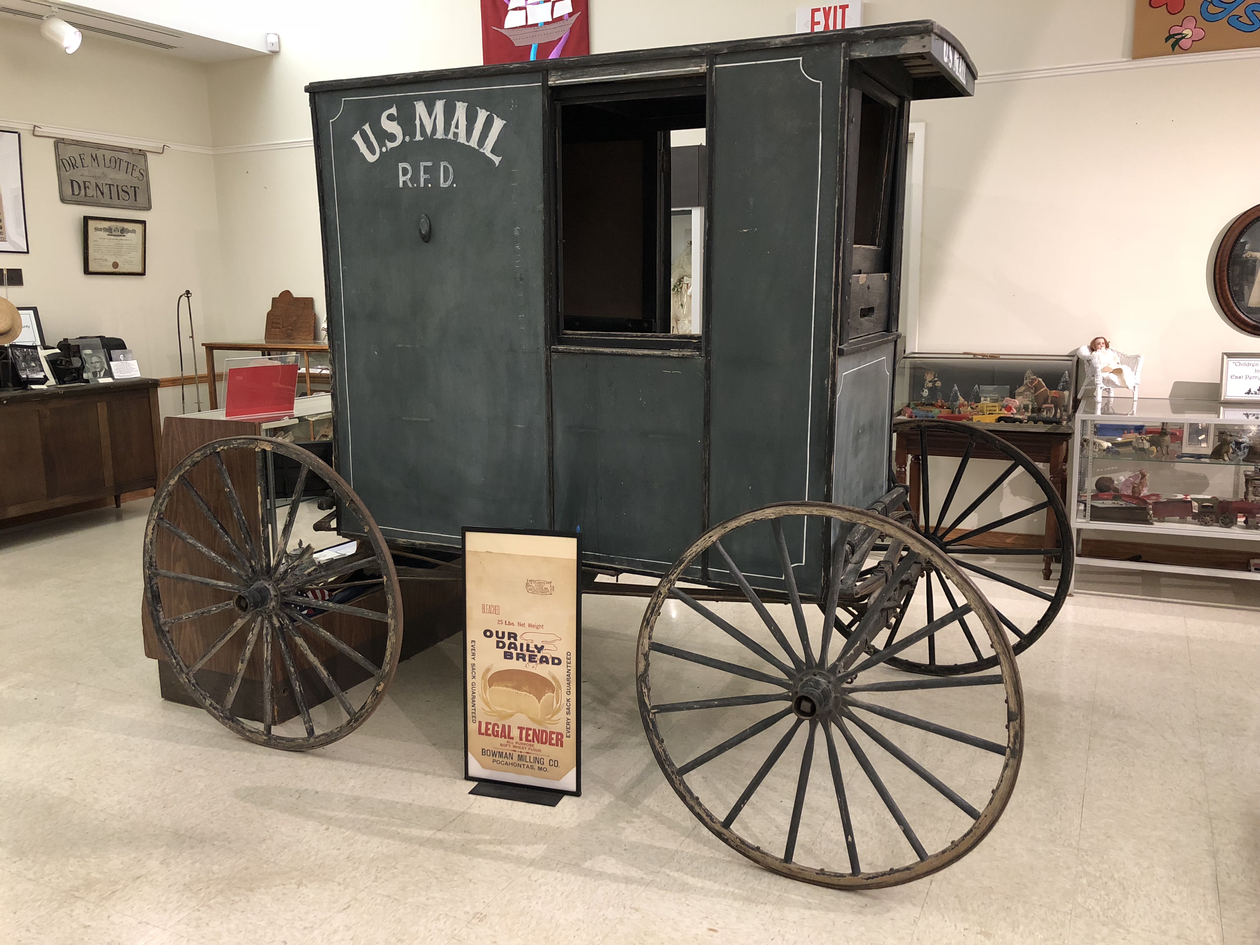
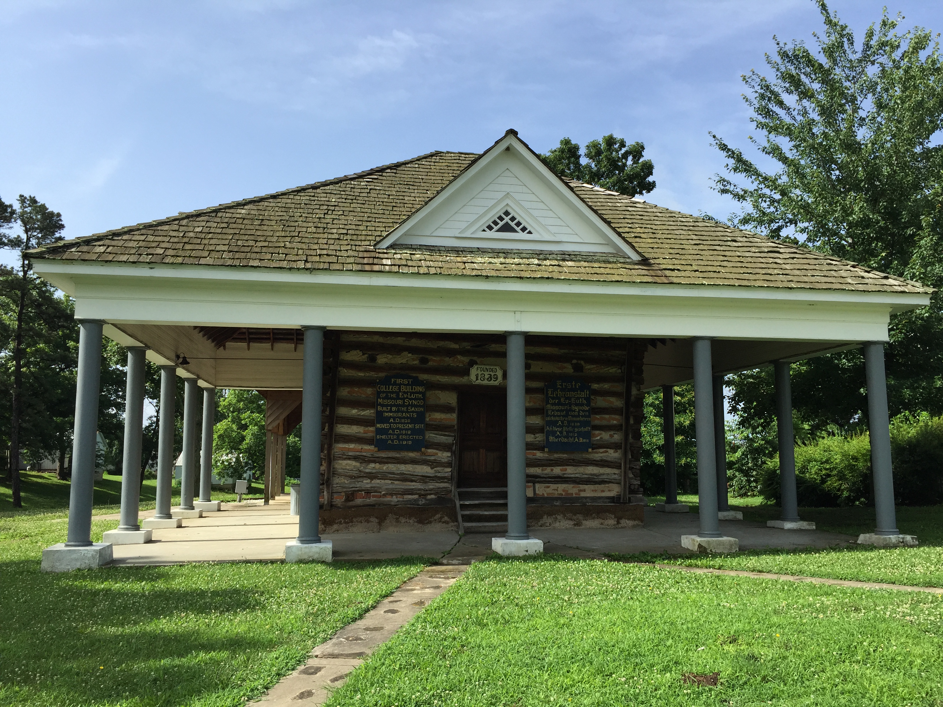
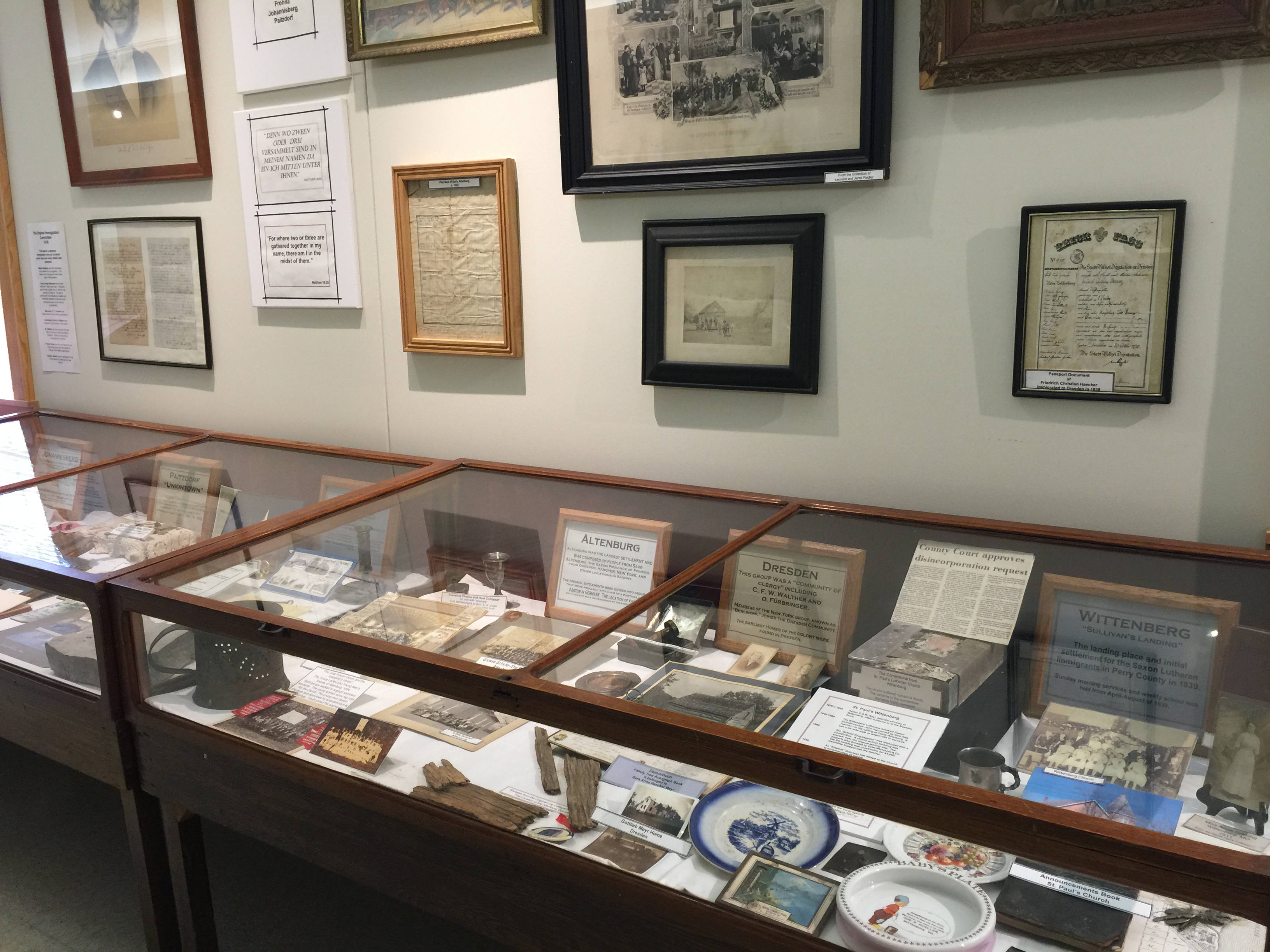
In 1838, approximately 700 German-Lutherans left their homes, farms, businesses and all they knew behind to embark on the dangerous sea voyage to America. Finding new homes in St. Louis and then Perry County, Missouri, they rebuilt their lives and formed communities which endure to this day. Discover their hardships, tragedies and triumphs and explore the families, churches, farms and businesses they established which make East Perry County a unique and truly authentic destination.
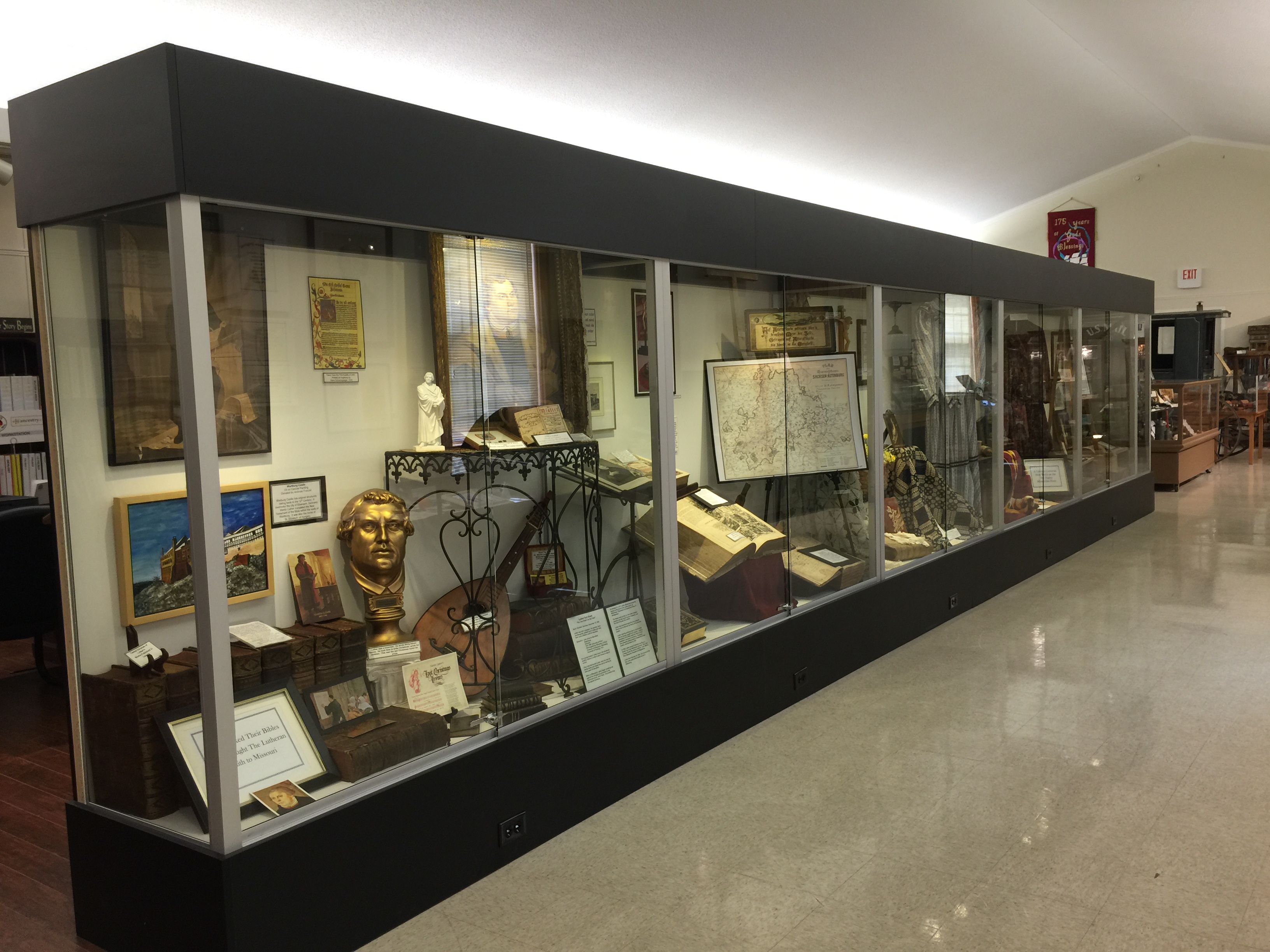
The Lutheran Heritage Center of the Perry County Lutheran Historical Society has a state-of-the-art museum with a world-class family research library. The site interprets the 1839 German-Lutheran immigration to Perry County, Missouri. Professionally led tours of the museum, local church and grounds. Buses welcomed.

Distance Unit:
Distance Unit:


A breathtaking viewpoint overlooking the Trail of Tears State Park. Car access is available

A boat ramp to the beautiful Missouri River with a peaceful view of the river.


The path taken by Chief John Ross on his way to Cairo. (https://www.hmdb.org/m.asp?m=161480)


Explore the Trail of Tears State Park to delve into a somber chapter in American history. Here, nine Cherokee Indian groups crossed the harsh winter Mississippi River in 1838-1839 during their forced relocation to Oklahoma.…