Lolo Pass Visitors Center
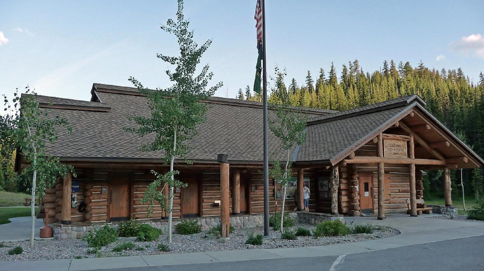
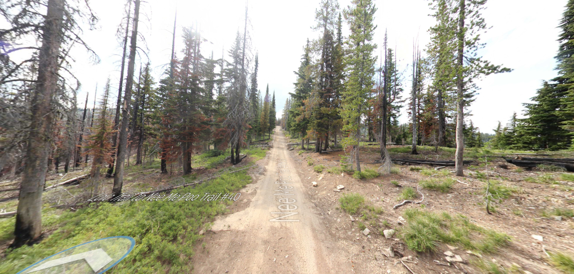
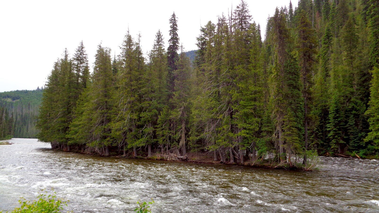
The Lolo Pass Visitor Center is a historical landmark site on the Lewis and Clark Highway, bordering Montana and Idaho. It is located near the area where Meriwether Lewis and William Clark took eleven days in September of 1805 to traverse the grueling Lolo Pass through the Bitterroot Mountains. The dangerous terrain, harsh weather conditions, and near-starvation resulted in the most arduous portion of the entire expedition in which the men resorted to eating some of their own horses to survive. The visitor center is also located on the Nez Perce National Historic Trail, a path followed by a band of Nez Perce Indians while fleeing from the U.S. Calvary in 1877 to avoid being forced onto a reservation.
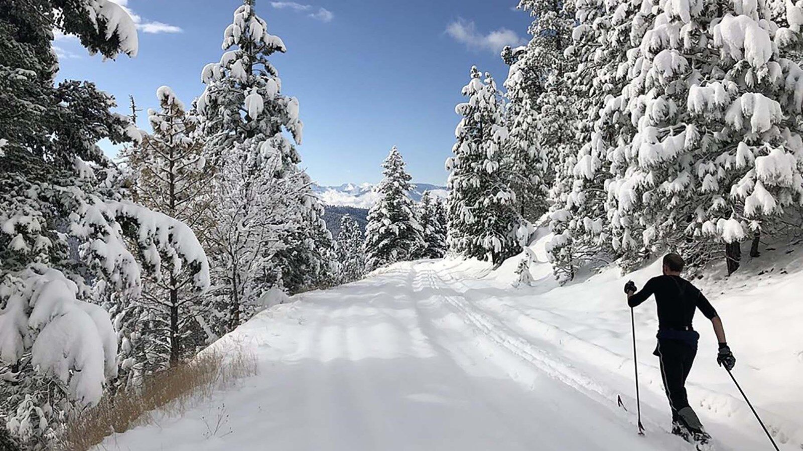
At the visitor center, visitors will find information detailing Lewis and Clark’s journey across the Bitterroot Mountains and the flight of the Nez Perce Indians, along with other historical, natural, and general information. As a major trailhead for cross-country skiing and snowmobiling, the center also has a warming hut for skiers and recreationists, a 24-hour restroom, a snowmobile parking log, and maps and information pertinent to winter visitors.
For more information or current Lolo Pass conditions, visit Nez Perce-Clearwater National Forests – Lolo Pass Visitor Center (usda.gov) or call (208) 942-3113.
Distance Unit:
Distance Unit:
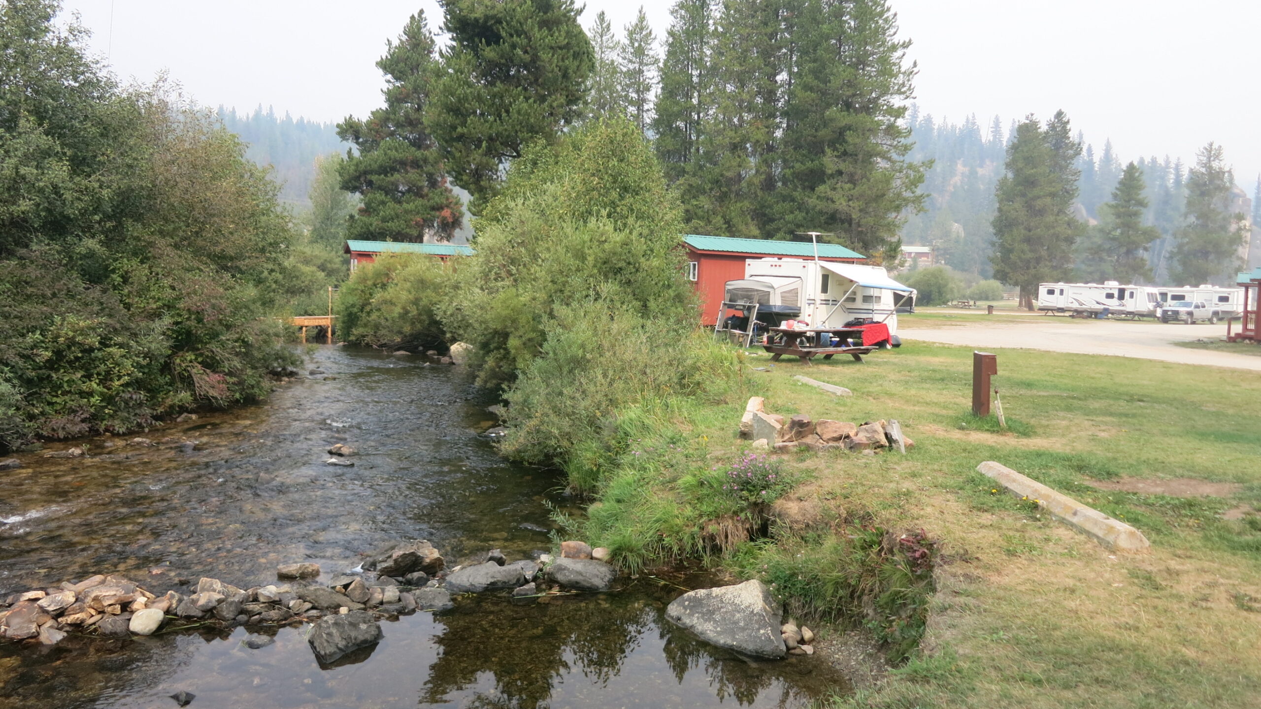
Tucked 35 miles northeast of Pierce, just off Forest Service Road 250, Weitas Campground offers a tranquil escape on the shaded banks of Weitas Creek near the North Fork of the Clearwater River. Accessible via…
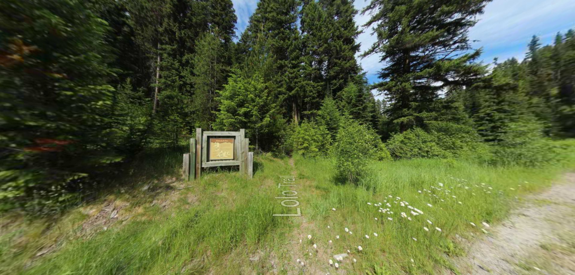
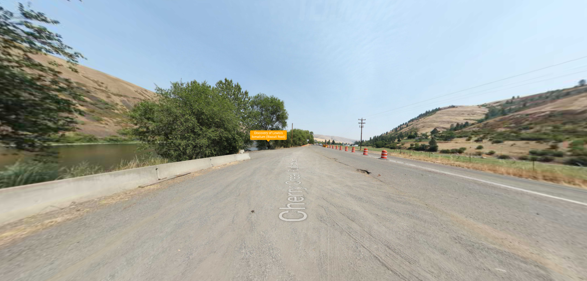
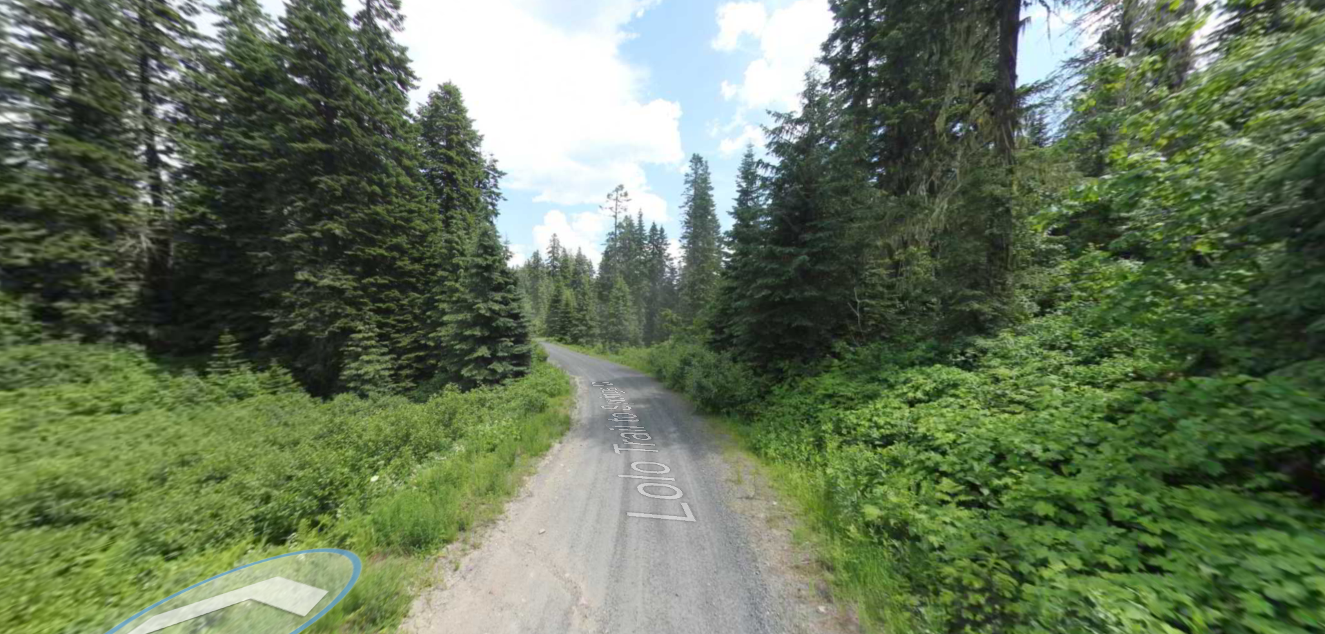
Embark on a historic trail dating back to August 9, 1805, when Lewis, accompanied by a scouting party, ventured away from the main group. Their mission: to discover a portage and establish contact with the…