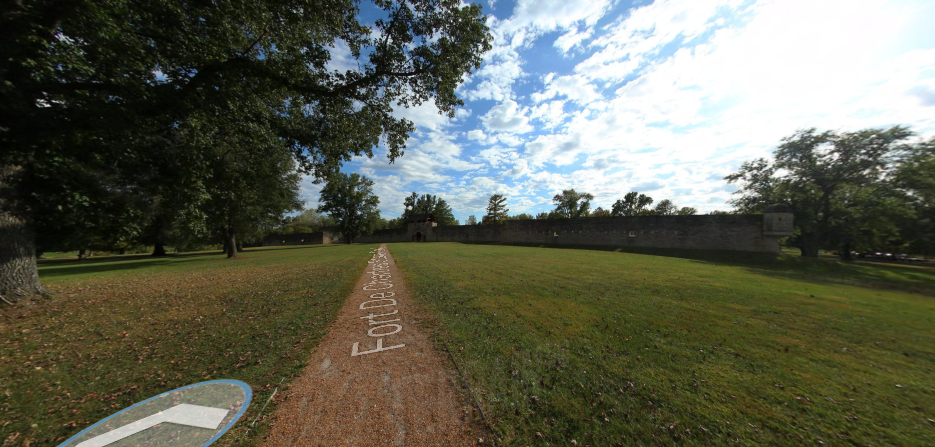
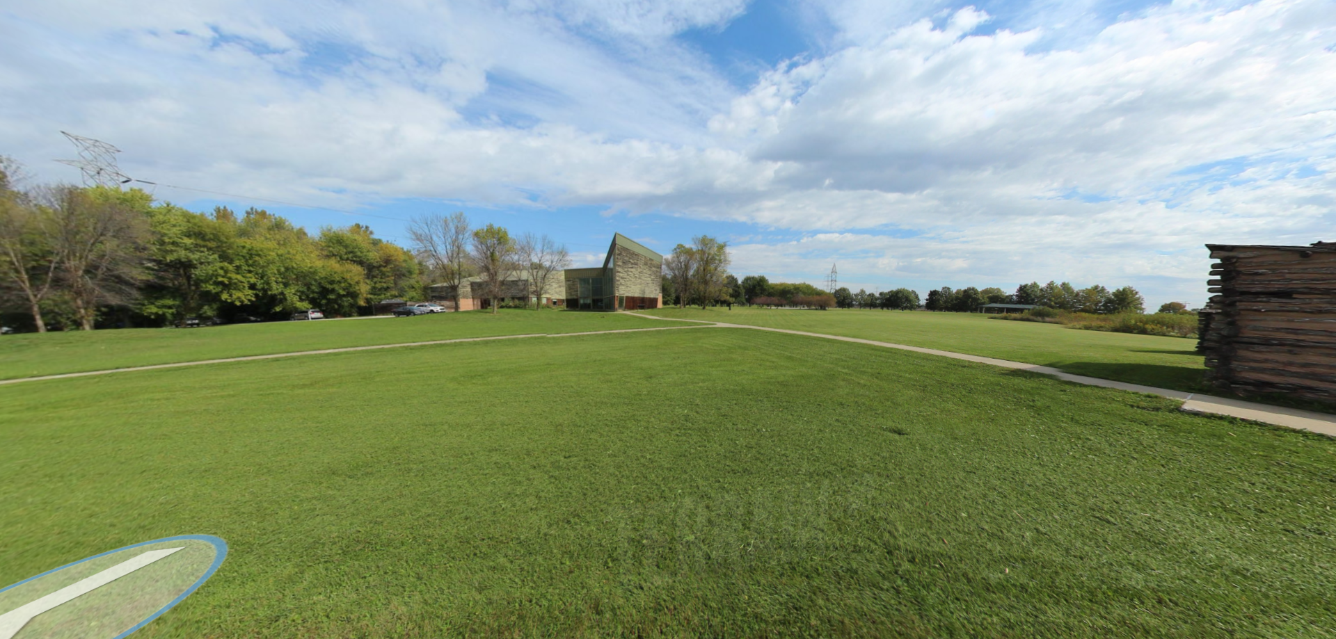
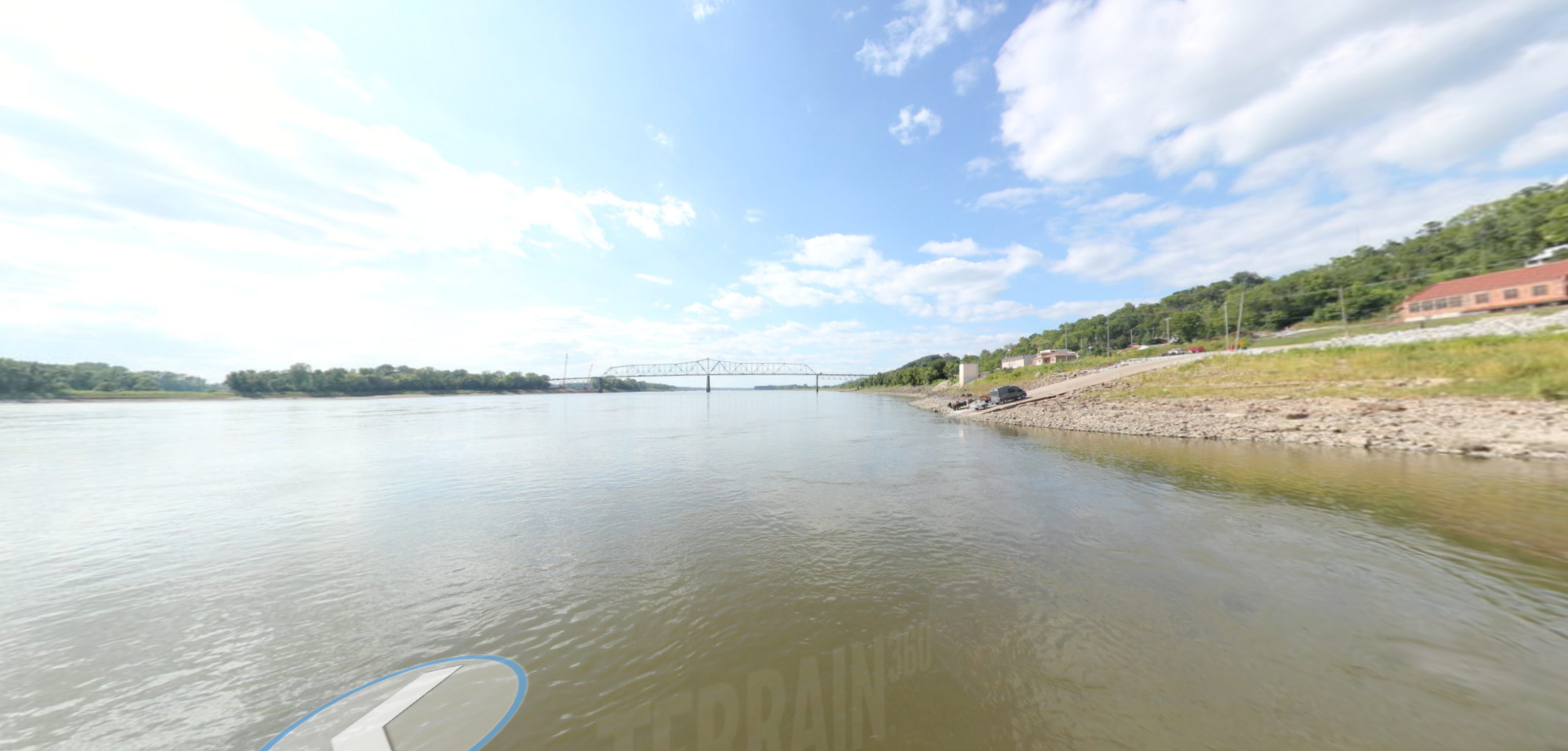
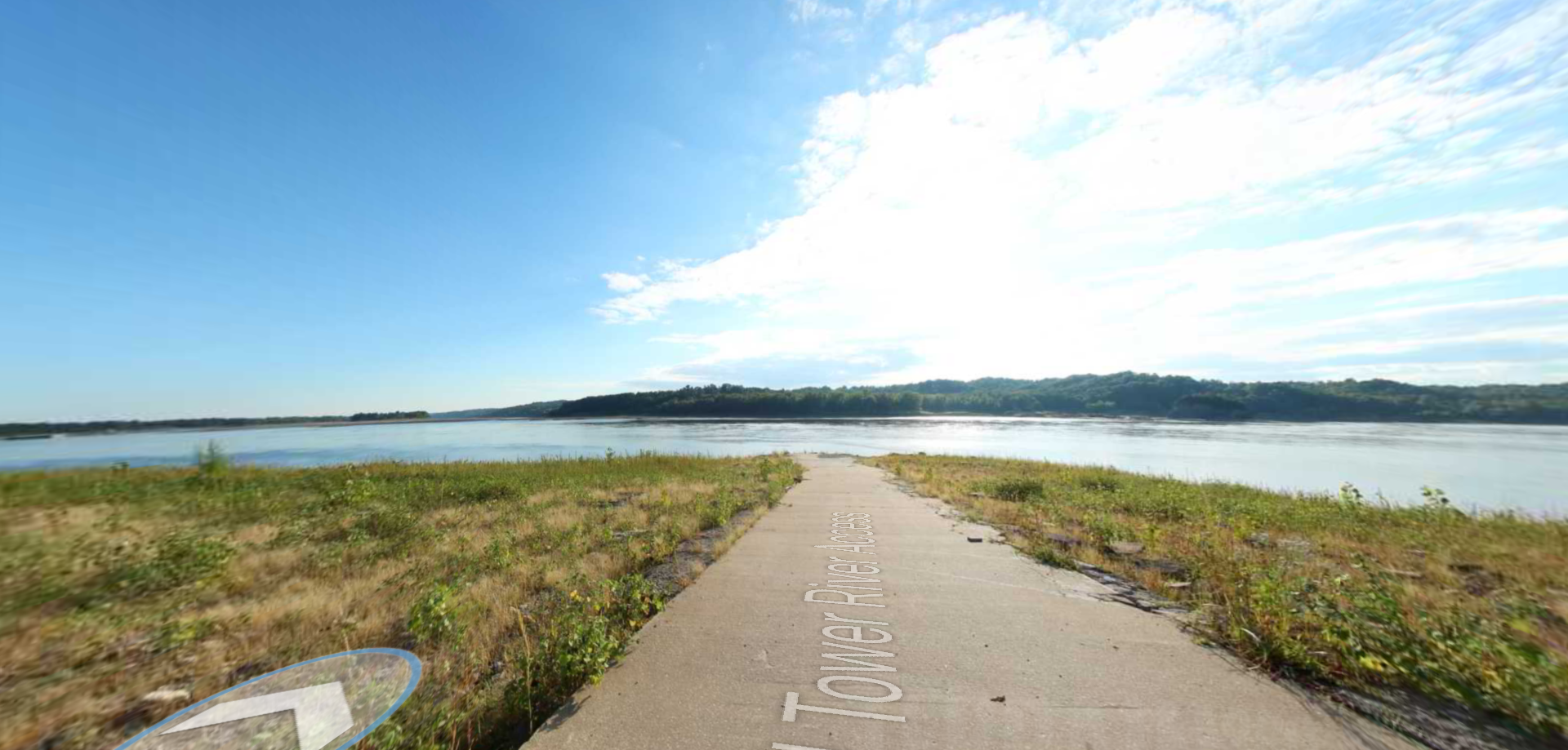
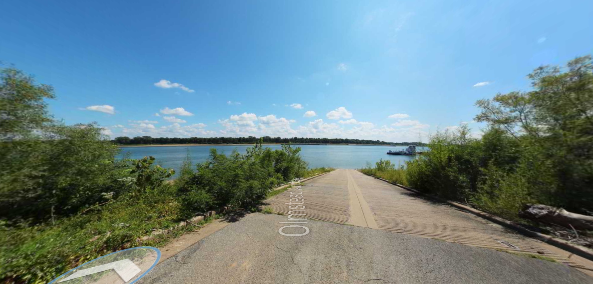
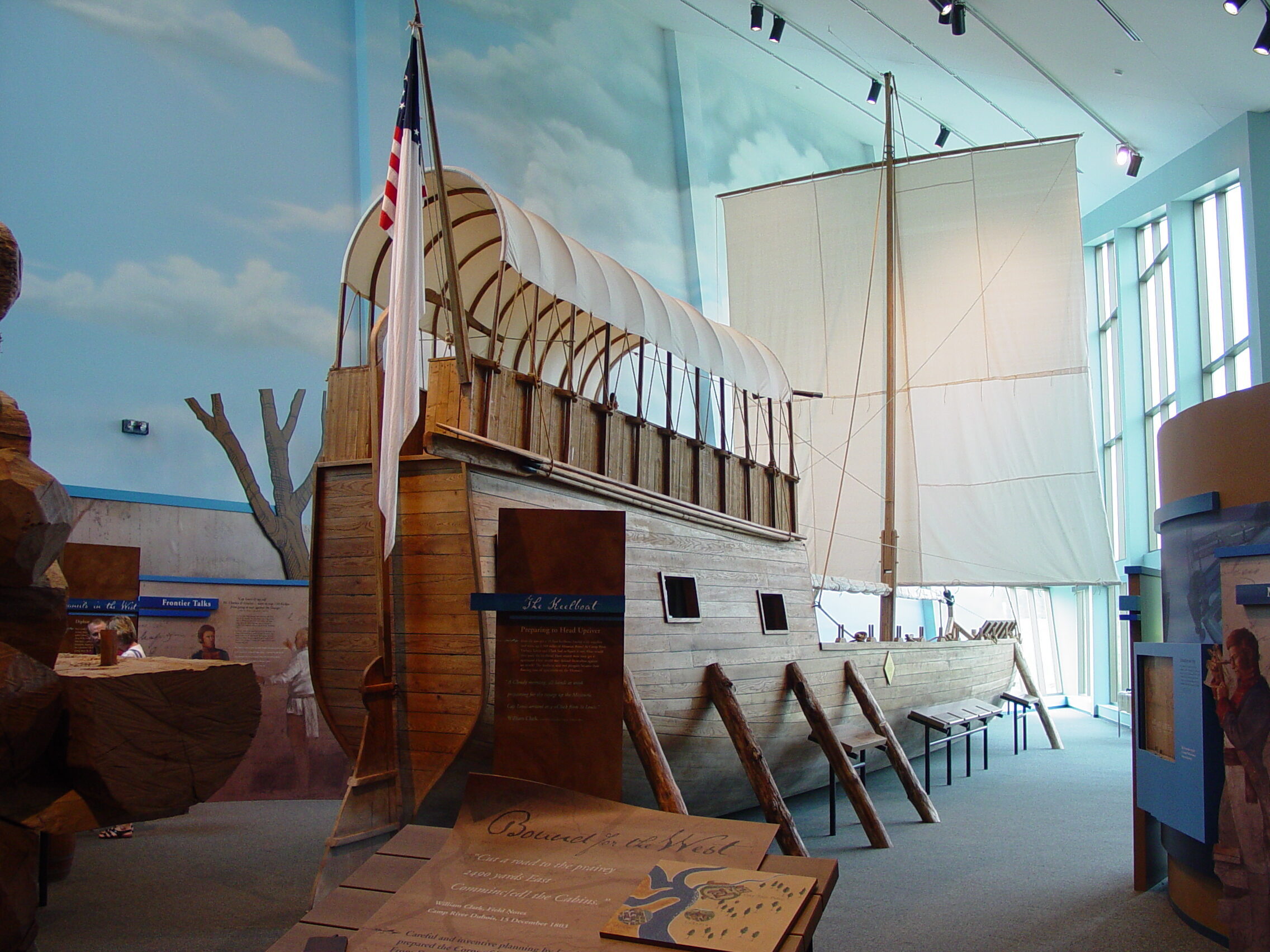
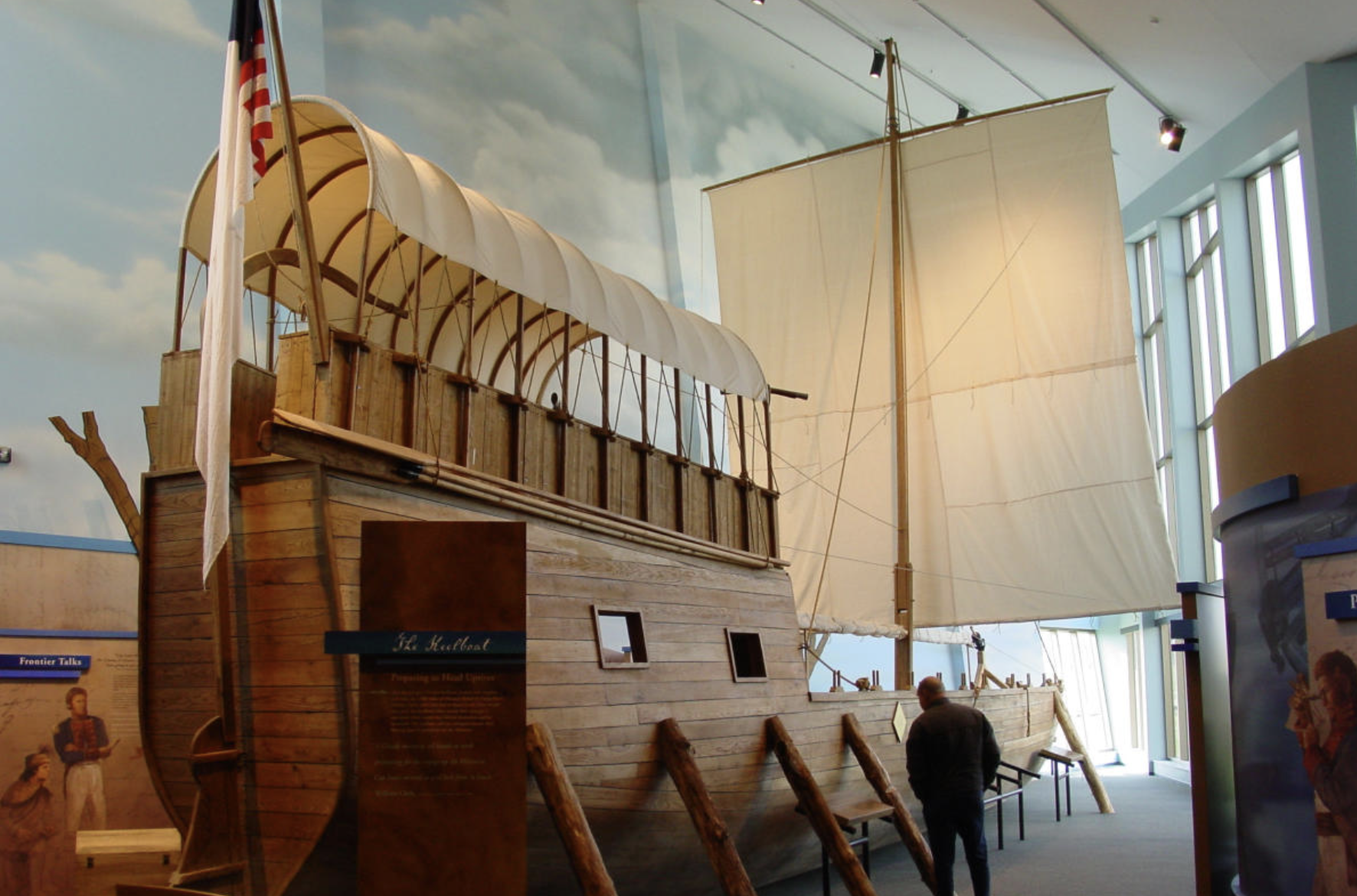
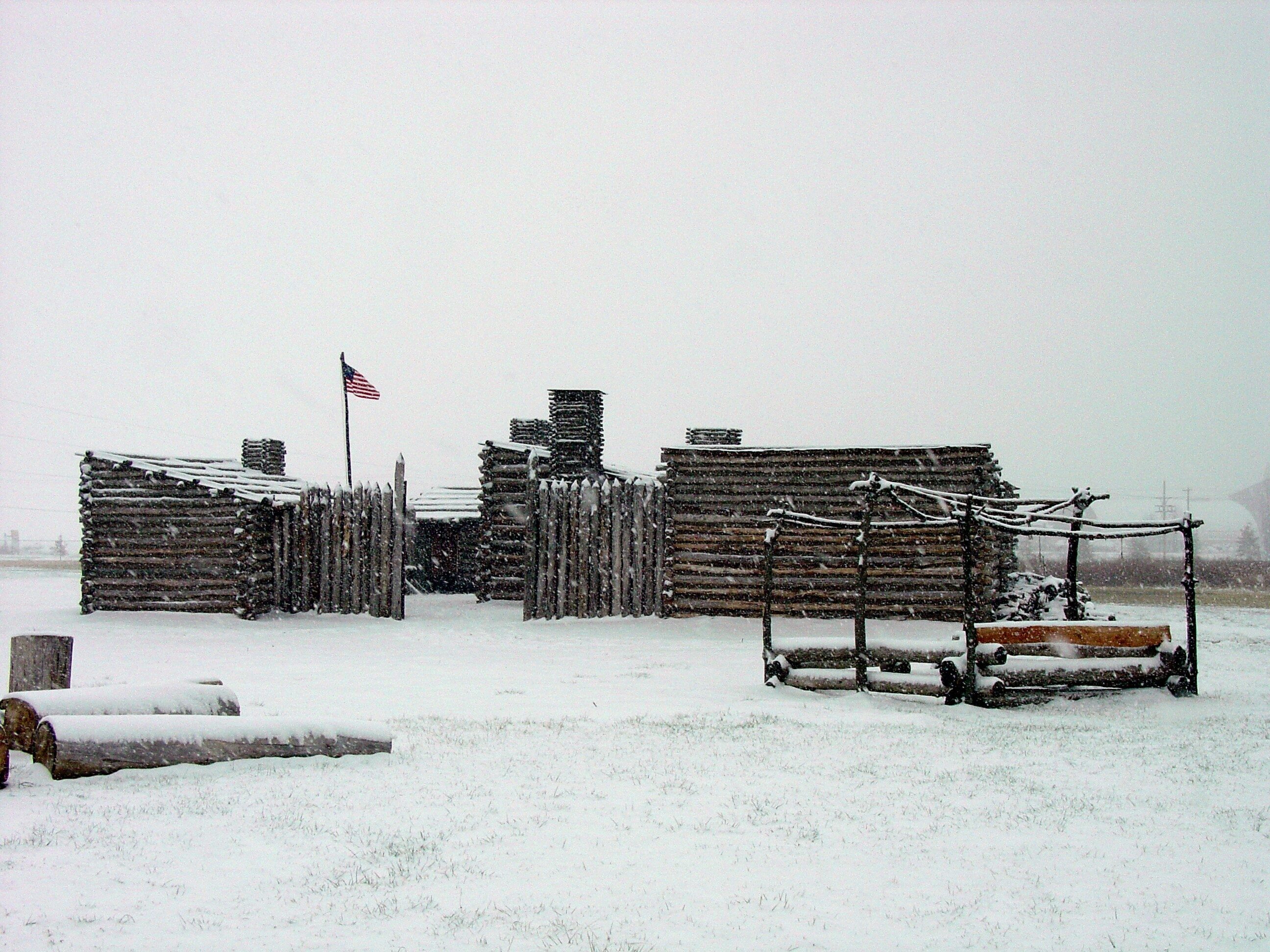
Lewis and Clark Trail Cycle Route

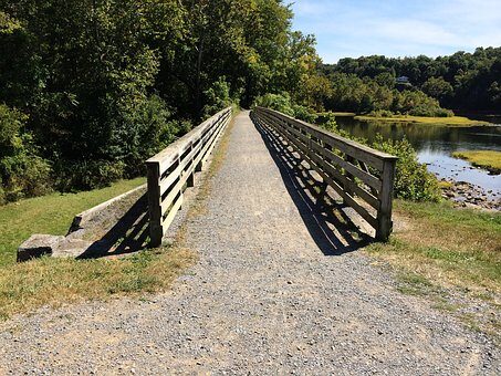
The Lewis and Clark Bicycle Trail is the perfect outdoor activity for your trip down the Corps of Discovery’s trail. The route give you the opportunity to follow in the path of both Lewis and Clark up the Missouri and Columbia rivers as well as following Clark’s 1806 eastbound route along the Yellowstone river in Montana. The route goes through a total of 10 states, starting at Hartford, Illinois and continuing all the way to Oregon for 4,589 miles.
This route can truly make you feel like you were a part of the Corps of Discovery, seeing what they might have seen on their journey and encountering the beauty of nature on your trip. The journey, while not as rough as it was back in 1804, still may require some off-road tires for the more rough, gravel roads. However, a good portion of the trail consists of paved roads and bike paths, so anyone can experience it.


Distance Unit:
Distance Unit: