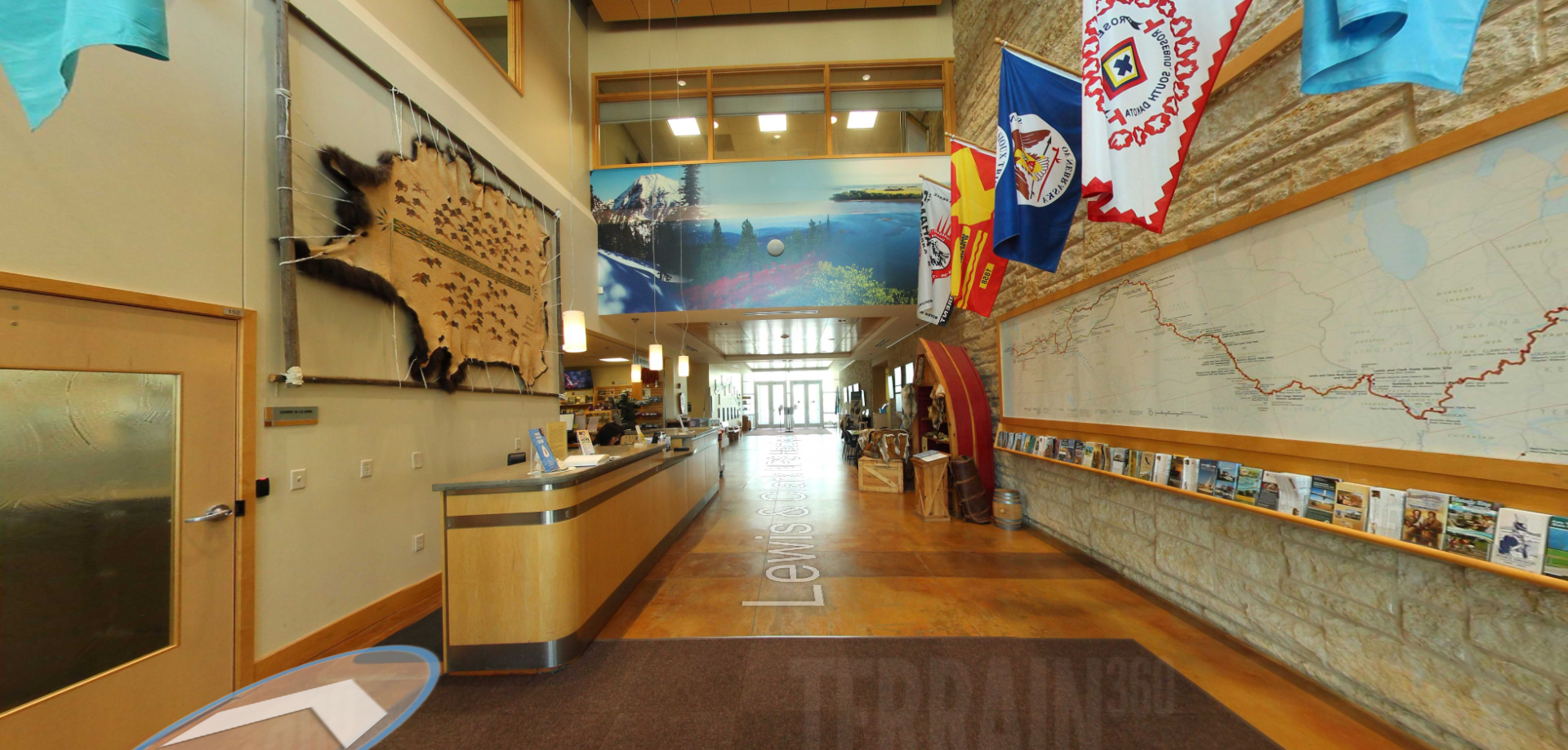
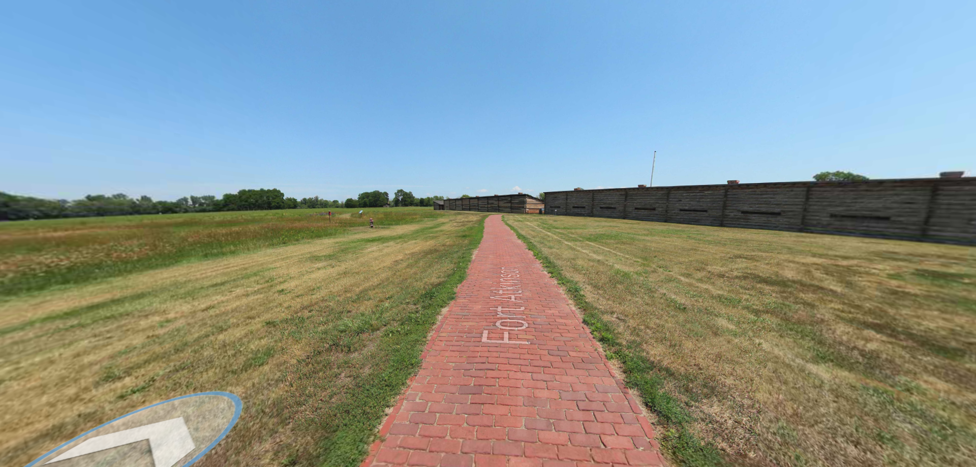
Lewis and Clark National Historic Trail Visitor Center – River Markers
Visitors in Omaha will enjoy the River Markers of the Interpretive Garden of the Lewis and Clark National Historic Trail Visitor Center.
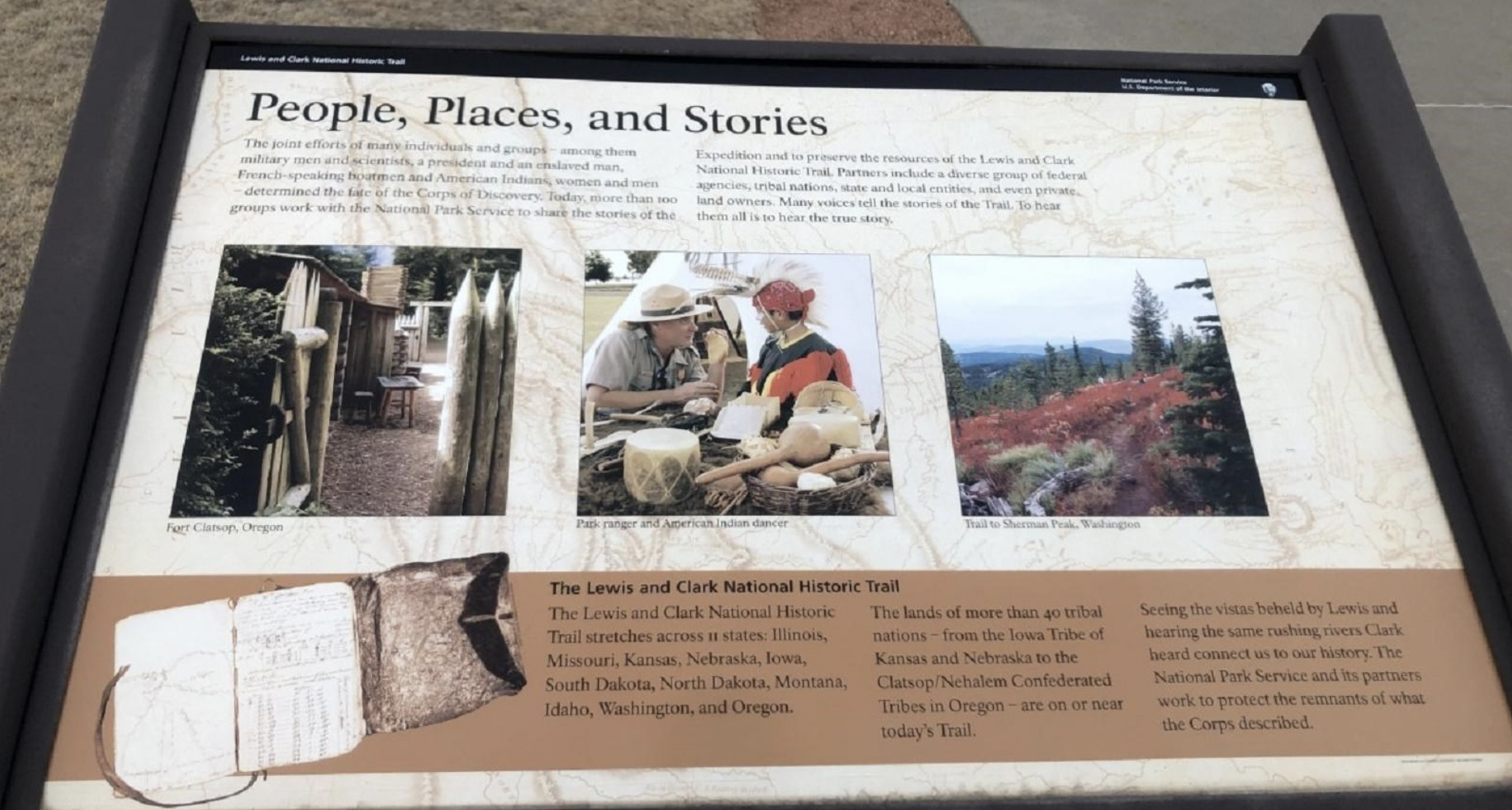
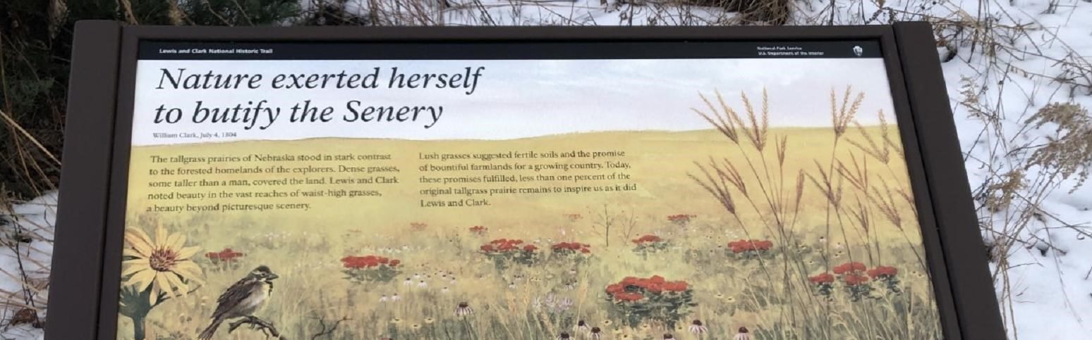
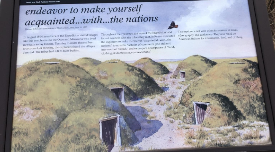
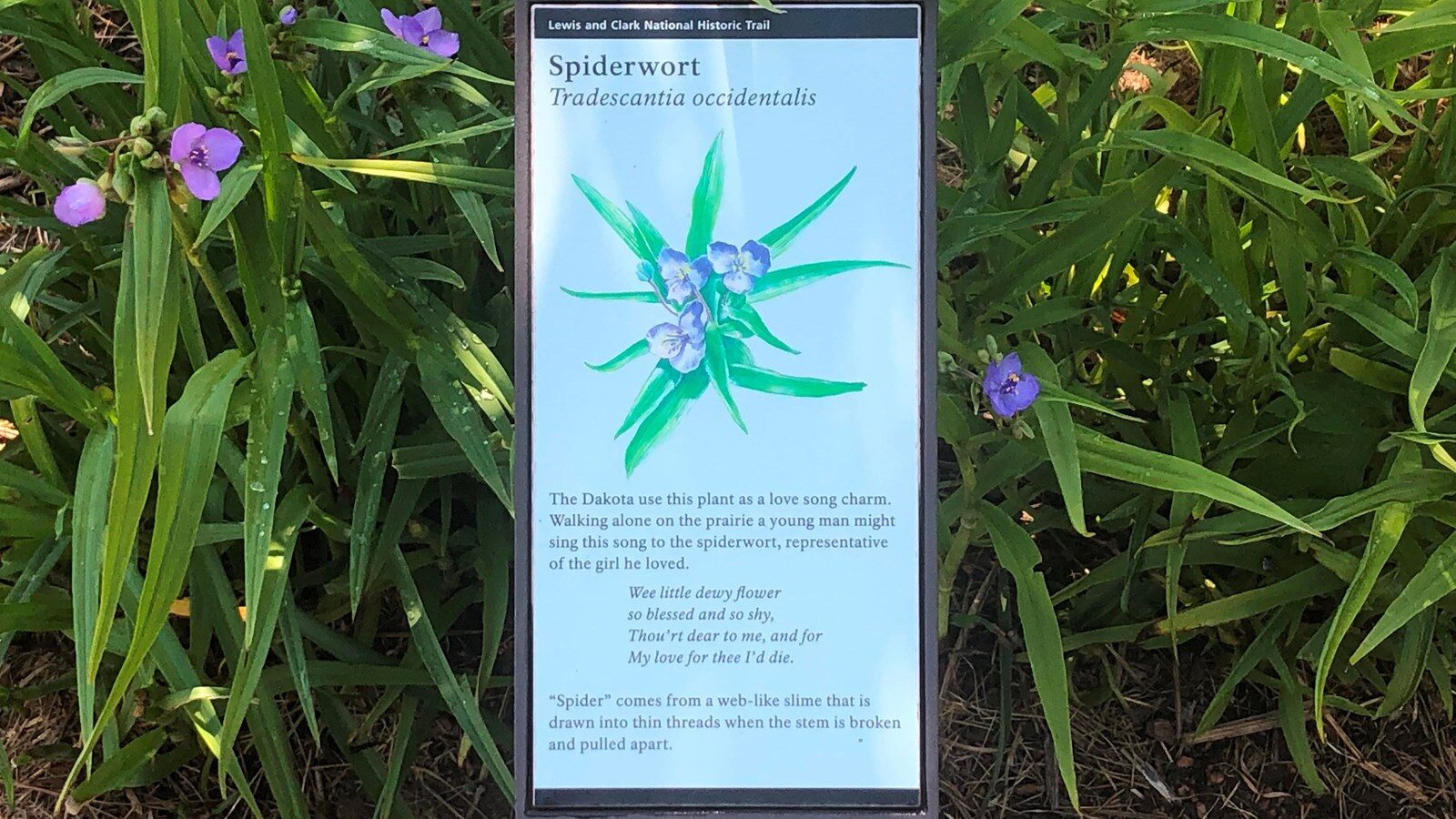
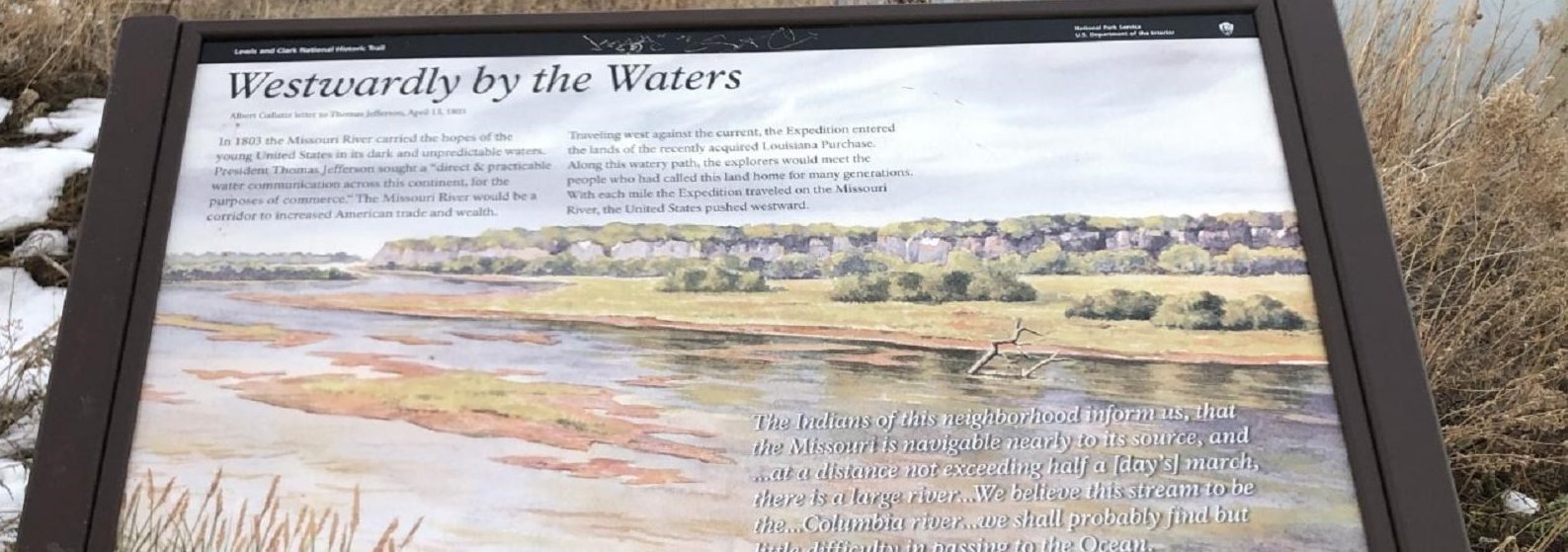
The Interpretive Garden at the Lewis and Clark National Historic Trail commemorates the journey that Captains Meriwether Lewis and William Clark, along with the rest of the expedition, completed as they traveled, camped, hunted, fished, and met with the native peoples in this area of the Missouri River Valley. Visitors walking through the garden will find interpretive panels on the expedition, the local wildlife, and native plants.
Rivers Markers include:
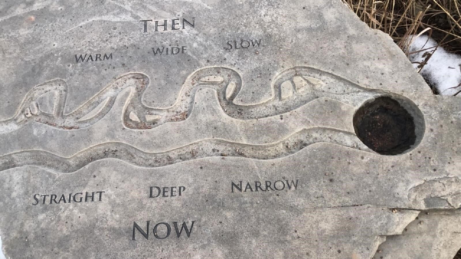
Distance Unit:
Distance Unit: