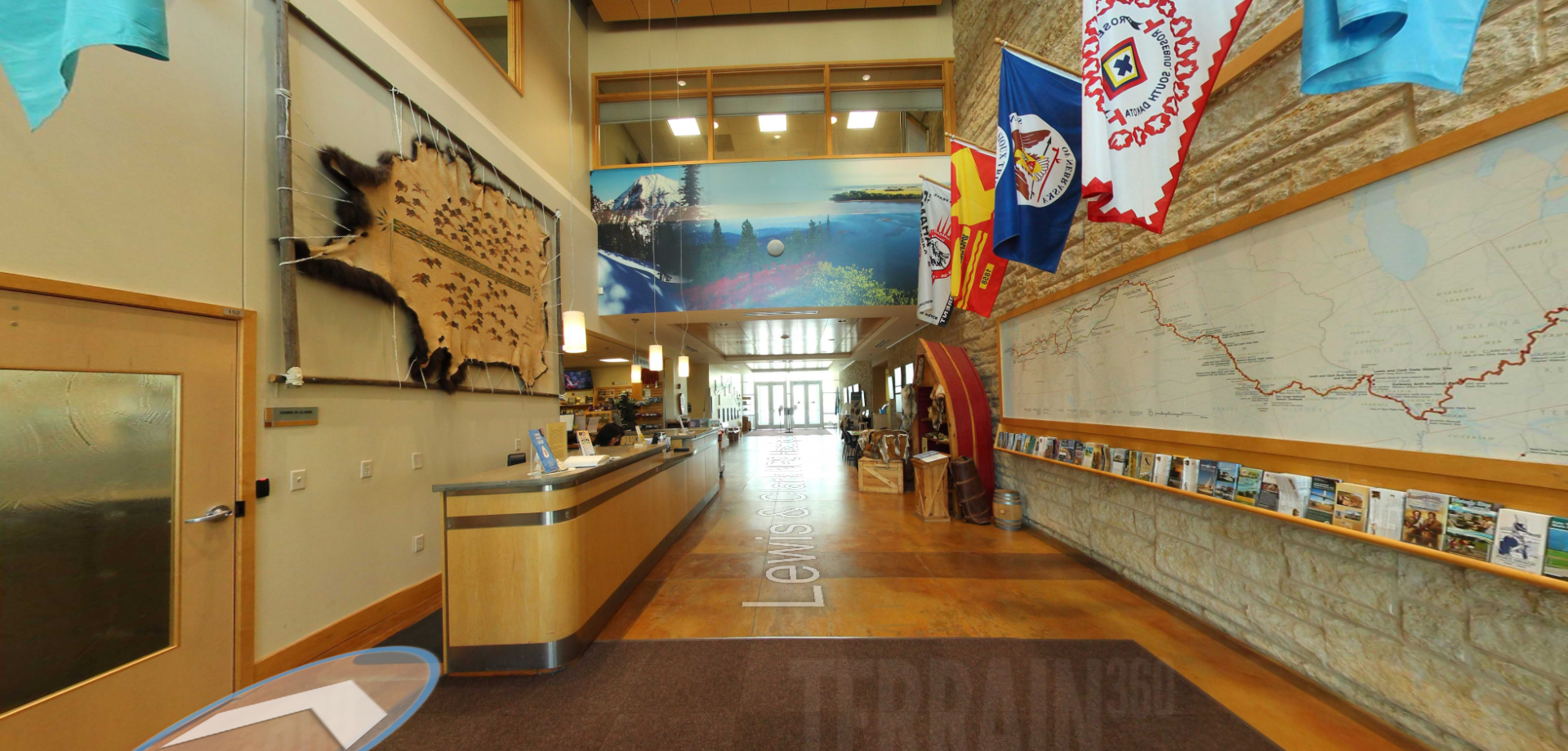
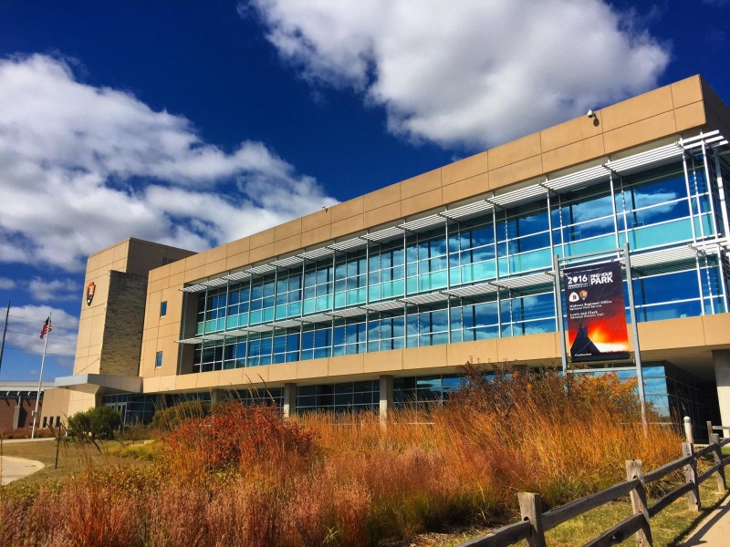
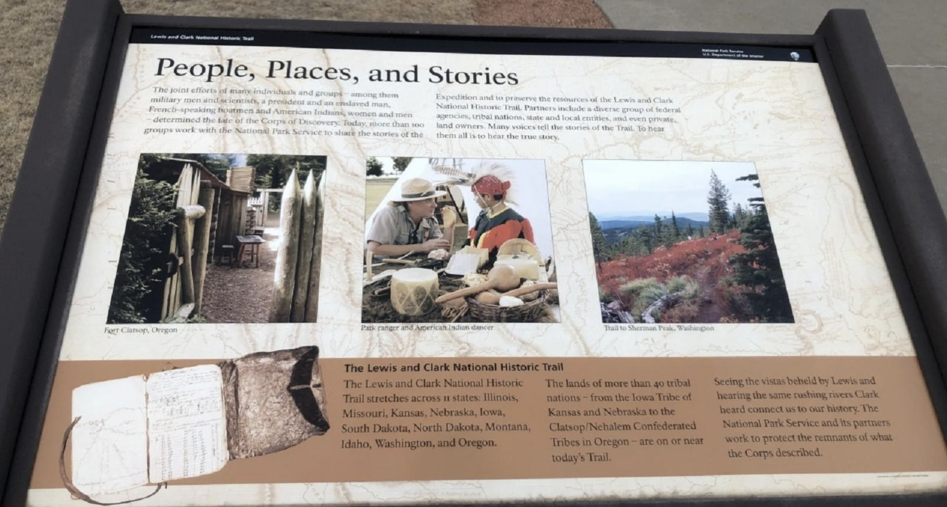
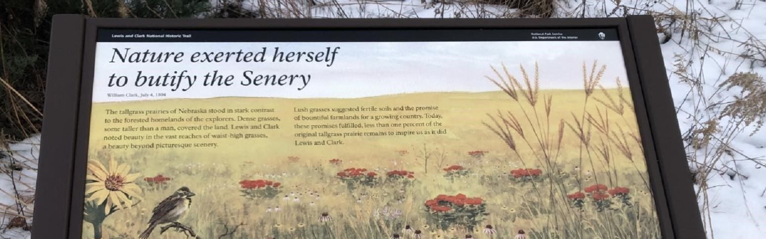
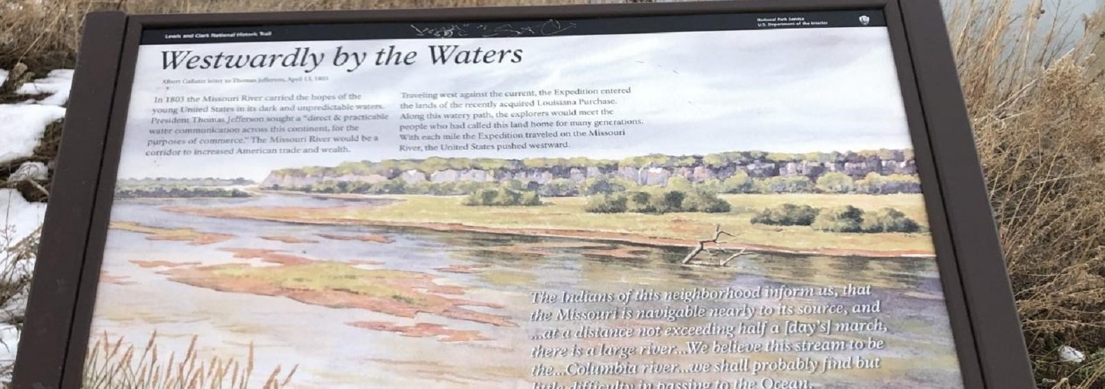
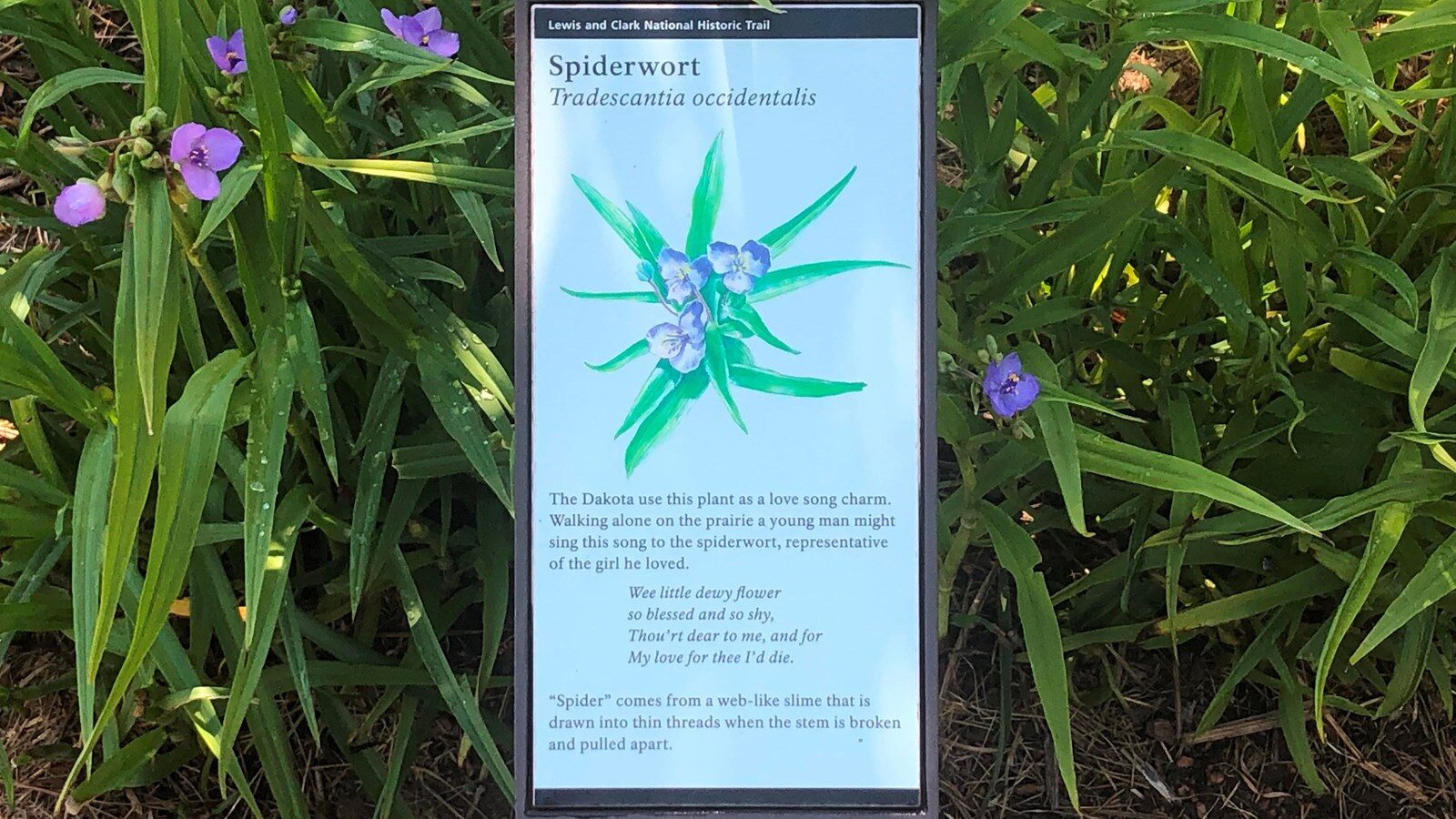
Lewis and Clark National Historic Trail Visitor Center – History Markers
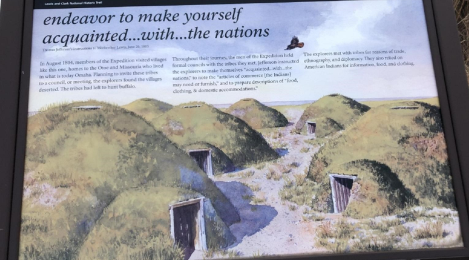
Located at the Lewis and Clark National Historic Trail Visitor Center’s interpretive garden, history markers provide travelers the ability to learn more of the historical significance and contextual relevance of the journey of Lewis and Clark. The markers cover interesting details related to the important journey that Captains Meriwether Lewis and William Clark, along with the rest of the expedition, took as they traveled, camped, hunted, fished, and met with the native peoples in this area of current day Nebraska. See the list of these markers below:
Distance Unit:
Distance Unit: