Lee Metcalf National Wildlife Refuge
Bringing in 240,000 visits every year, this 2800-acre wildlife refuge located in southwest Montana can’t be missed! The Lee Metcalf National Wildlife refuge was established in 1964, and it is now home to a variety of different habitats that provides visitors with numerous opportunities to explore all that it has to offer. It is likely that the Corps of Discovery traveled through or at least very near where the refuge is located.
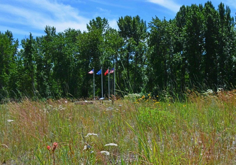
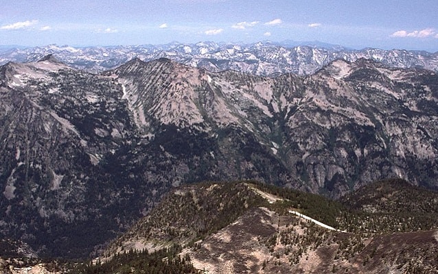
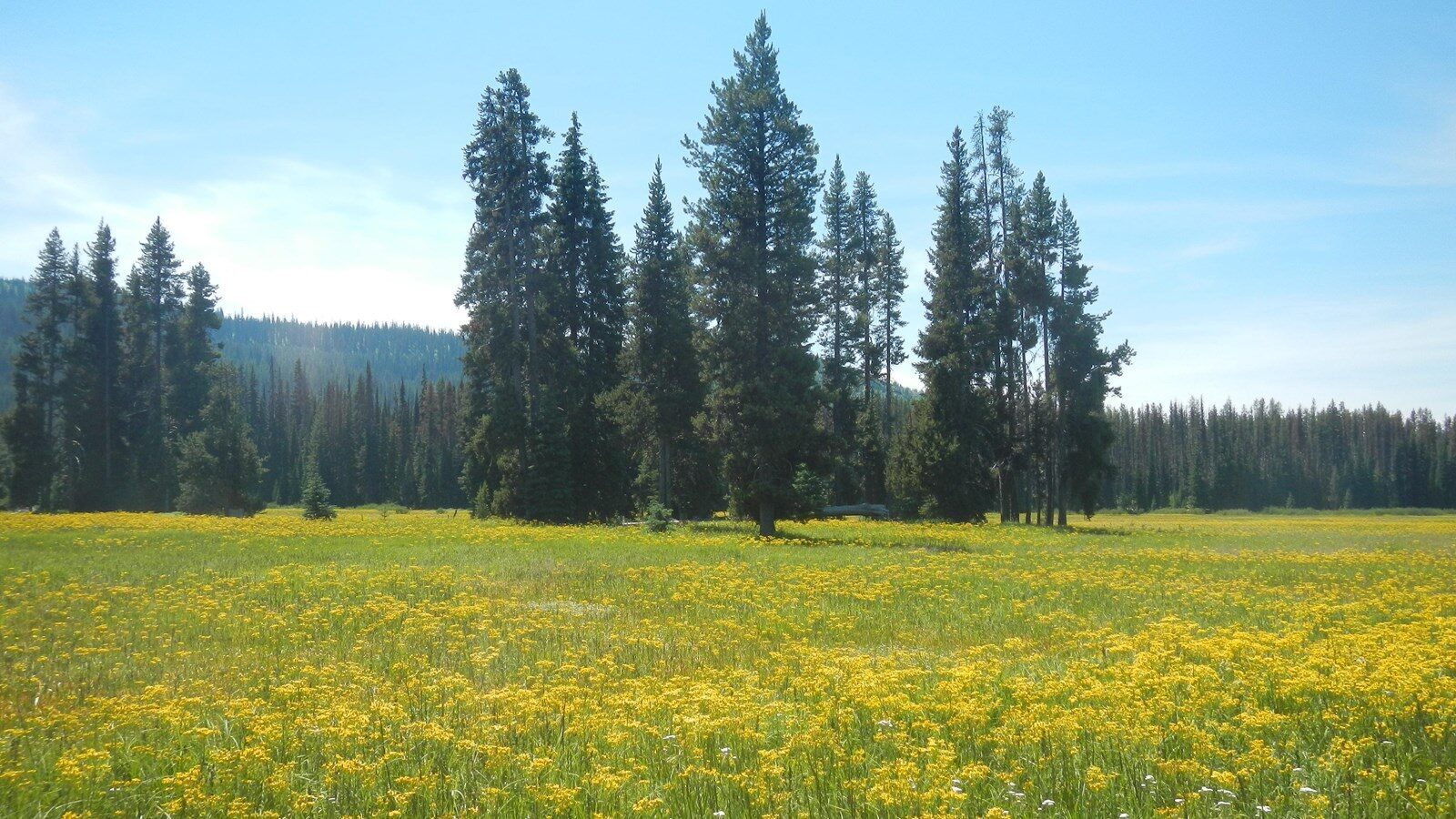
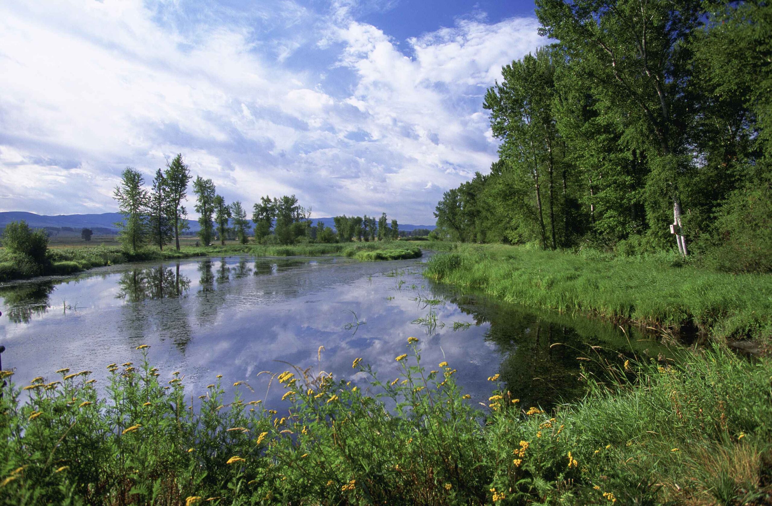
Lee Metcalf National Wildlife Refuge serves as a protected space for migratory bird species approximately 2 miles north of Stevensville. Established in 1964 as the Ravalli National Wildlife Refuge and renamed in 1978 in honor of late Senator Lee Metcalf, the refuge is 2,800 acres along the Bitterroot River. Within the refuge are a variety of habitats including forests, meadows, and wetlands.
Over 240 species of birds have been recorded on the refuge. Visitors have been treated to sightings of herons, egrets, owls, raptors, and more. No matter what time of year you visit, there’s sure to be an interesting bird passing through!
For more information or to plan a visit, check out https://www.fws.gov/refuge/Lee_Metcalf/visit/plan_your_visit.html
Distance Unit:
Distance Unit: