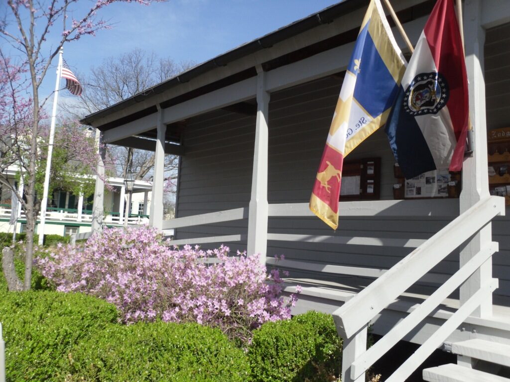
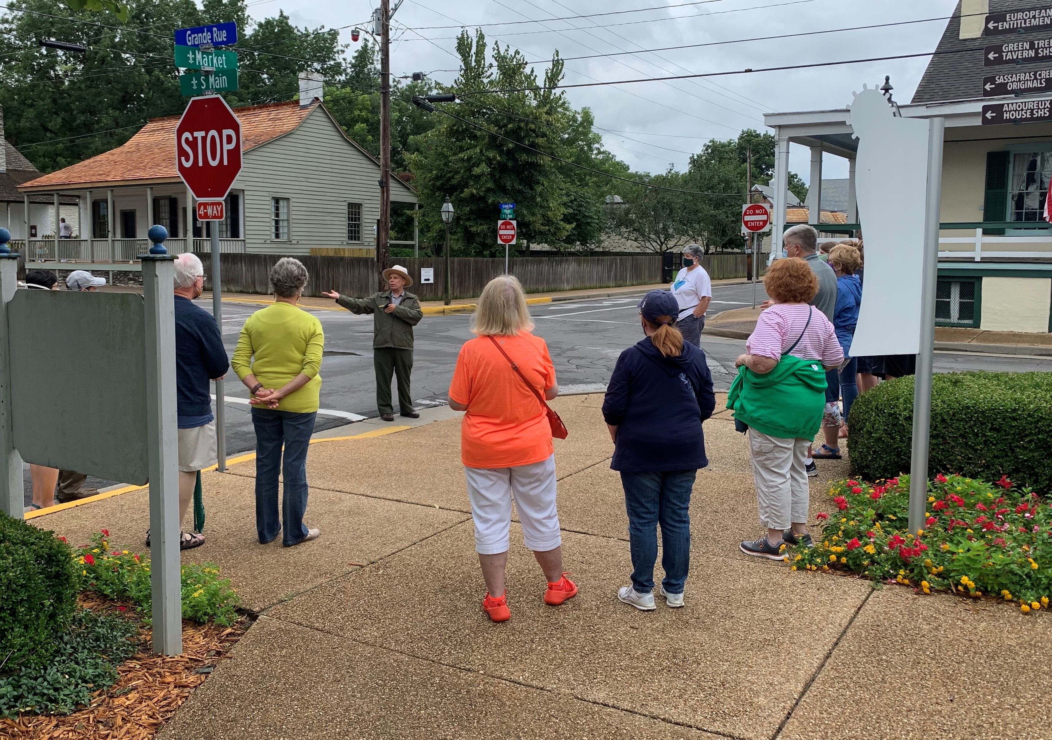
Jean Baptiste Valle House
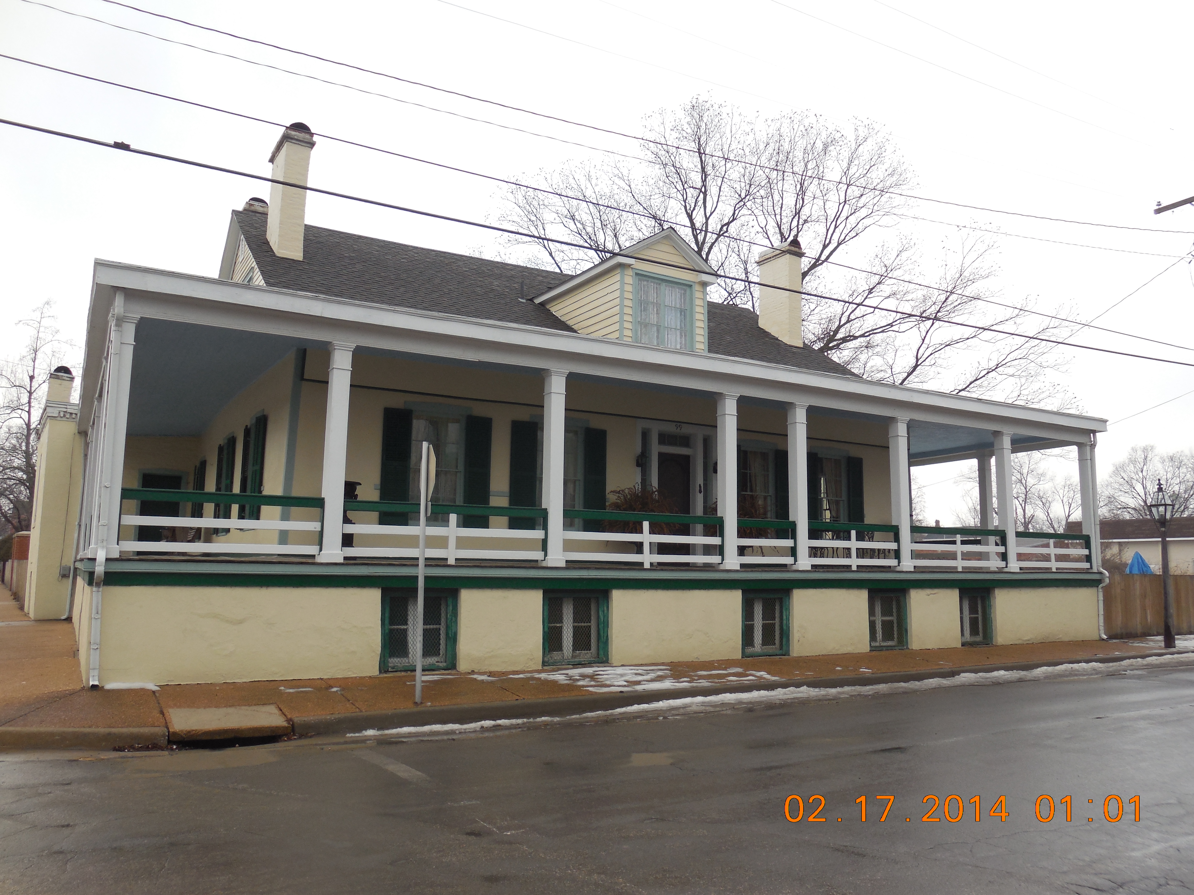
Headquarters for the National Park Service in Ste. Genevieve is located in the Jean Baptiste Valle House, where visitors can be taken back in time. Jean-Baptiste was the last commandant of Ste. Genevieve until the United States purchased the Louisiana Territory eliminating that French/Spanish position. His house served as a government center as well as home. Jean-Baptiste Valle built this house in 1793 when he moved from the old site of Ste. Genevieve along the Mississippi. Perhaps Jean Baptiste had to wait for official approval to move since he was the civil commandant of Ste. Genevieve. Jean-Baptiste built this vertical log home on an especially thick stone sill. Perhaps this would better ensure stability in case of flooding.
Originally the house consisted of two large rooms separated by a hallway with a central fireplace and having a hip roof. Eventually the central fireplace was removed, and fireplaces were built on the outer walls of each of the rooms. The hip roof was transformed to gabled ends accommodating windows which allowed for bedrooms to be added to the upper floor. Other additions during Jean- Baptiste’s tenure are the built-in cabinetry in the dining room and the room-dividing wall separating the dining room and the sitting room. Later a kitchen was attached by bricking in a corner of the gallery.
Distance Unit:
Distance Unit:


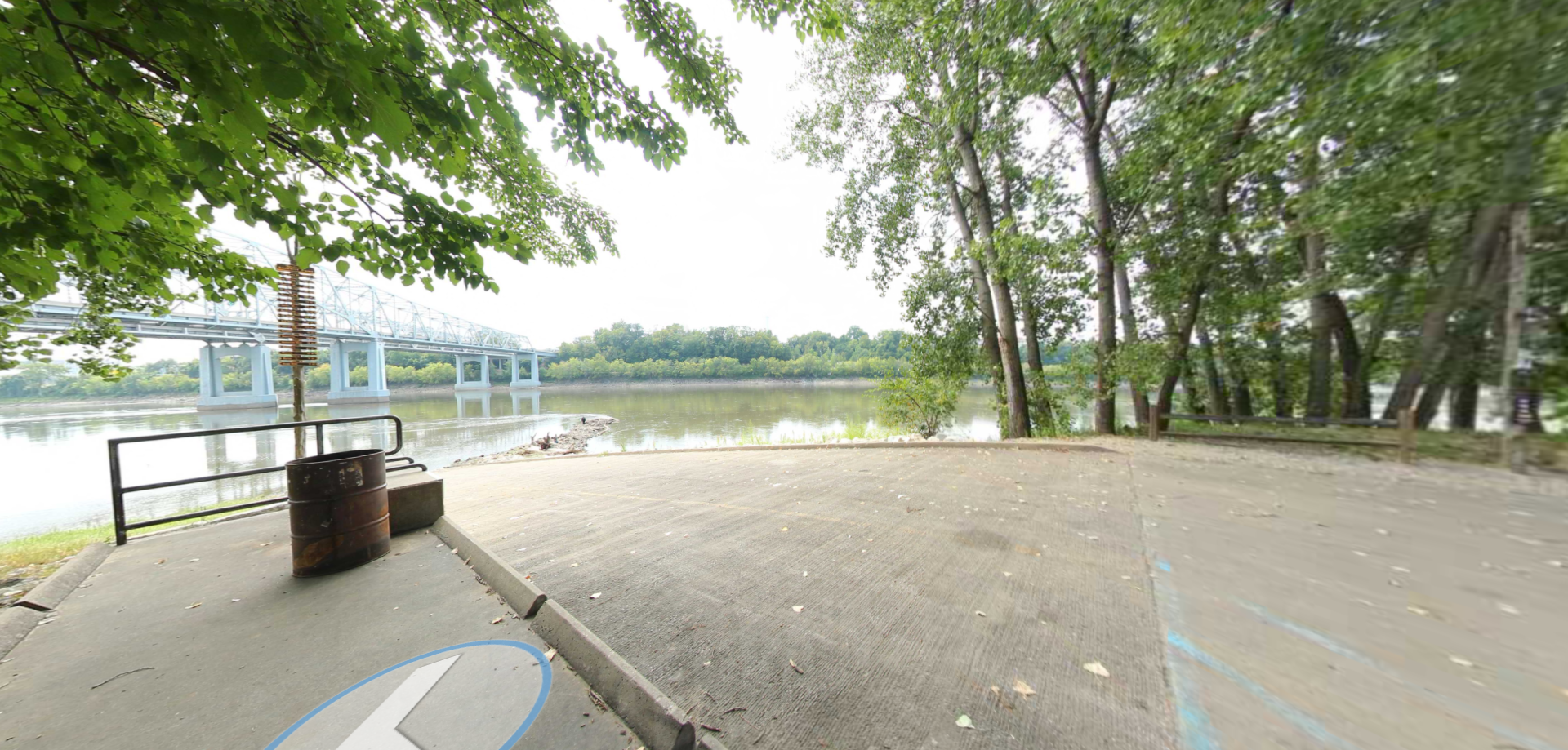
Explore the Trail of Tears State Park to delve into a somber chapter in American history. Here, nine Cherokee Indian groups crossed the harsh winter Mississippi River in 1838-1839 during their forced relocation to Oklahoma.…