Page Feedback

Historic St. Mary’s Mission
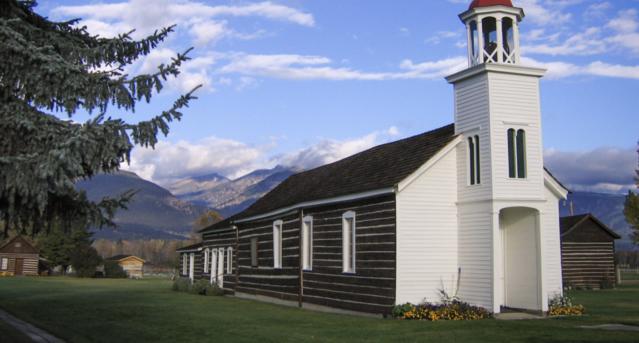
Historic St. Mary’s Mission

Information

Monday Closed Tuesday 10AM–5PM Wednesday 10AM–5PM Thursday 10AM–5PM Friday 10AM–5PM Saturday 11AM–3PM Sunday Closed
(406) 777-5734
Admission is free, but donations are welcomed
lat: 46.5090745 long: -114.0976772

St. Mary’s Mission was the first white settlement in Montana, which eventually grew into the town of Stevensville. Today, these buildings are preserved to give visitors insights into the early days of the settlement of the West.

After being introduced to Christianity by Iroquois trappers in the early 1800s, the Salish and Nez Perce sent multiple delegations to St. Louis throughout the 1830s in hopes of convincing missionaries to come to the Bitterroot Valley. In 1841, Father Pierre Jean DeSmet established St. Mary’s on the east bank of the Bitterroot River. It became a place where Indian culture and Christianity would blend.

Today, Historic St. Mary’s Mission is home to restored buildings, museums, and artifacts which reflect on the history of the site and the Salish people. The St. Mary’s Mission Historic District was added to the National Register of Historic Places in 2010. Group and individual guided tours are available.

Nearby Attractions

Distance Unit:

Nearby Trails

Distance Unit:

Coal Banks Landing to Eagle Creek

lat: 47.7400888 long: -109.6276312
Missouri River Right

lat: 46.6822743 long: -111.8215701
Coal Banks Landing to Eagle Creek

lat: 48.0338635 long: -110.2279854
Mcnamara to Bonner

lat: 46.9502198 long: -113.3787584
Decision Point

lat: 47.9249036 long: -110.4985534
Clearwater to Dunnigan Gulch

lat: 46.9502198 long: -113.3787584
Black Sandy Lake Access

lat: 46.7455285 long: -111.8866754
Antelope Wilderness to James Kipp Landing

lat: 47.6274434 long: -108.6934195
Nine Mile to Mcnamara

lat: 46.9502198 long: -113.3787584
Blue Mountain

lat: 46.8148437 long: -114.1806973
Hauser Hiking Trail

A trail starting at Hauser Dam and overlooking the Missouri River.

lat: 46.765794328365 long: -111.88708305359
Missouri River Left

lat: 46.6822743 long: -111.8215701
Send Feedback

Instagram Feed