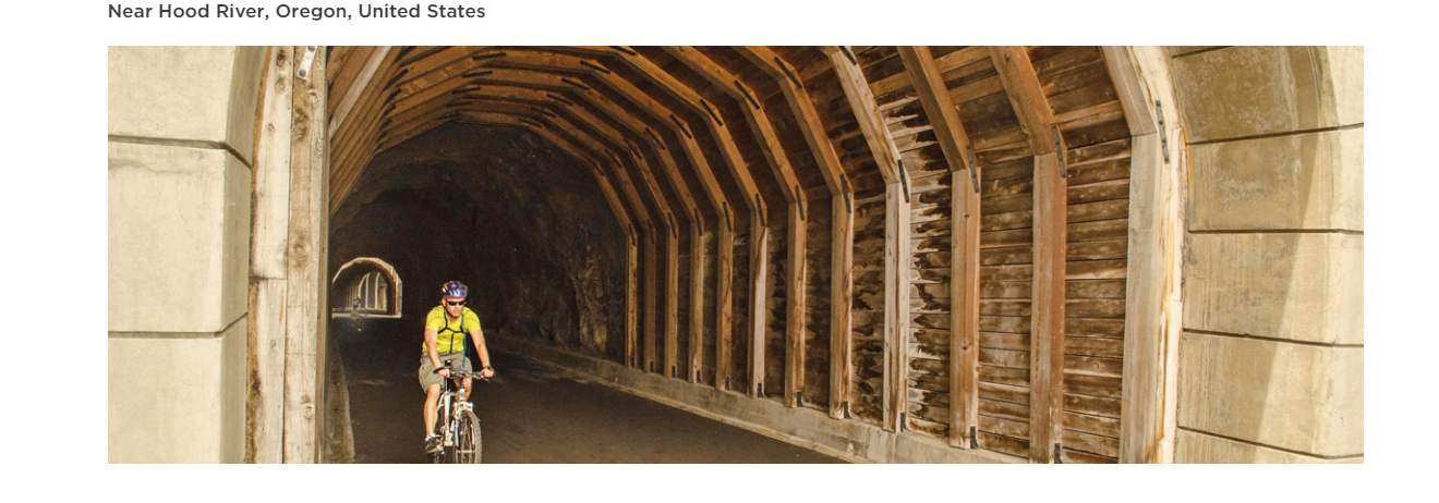
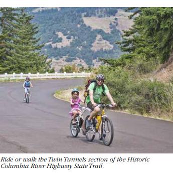
Historic Columbia River Highway State Trail: Twin Tunnels
The Historic Columbia River Highway was designed by Samuel Lancaster and constructed between 1913 to 1922. Its purpose was not merely to provide an east-west transportation route through the Columbia River Gorge, but to take full advantage of every natural aspect, scenic feature, waterfall, viewpoint and panorama. When bridges or tunnels were designed, they stood by themselves as artistic compliments to the landscape. The Columbia River Highway served millions of travelers and became one of the grandest highways in the nation. When transportation needs required faster and larger roads, sections of the old highway were bypassed. By 1960, a new interstate highway had replaced nearly all of the older road. The 4.5 mile stretch of old highway between Hood River and Mosier, including the Mosier Twin Tunnels, was closed, filled with rock and abandoned.
In the 1980s, new interest in the old scenic highway began to resurface. Lost sections of highway were identified, unearthed and studied for potential renovation. Some portions of the original route were covered by I-84 when it was built. An ambitious restoration began with the removal of rock from the Mosier Twin Tunnels. Restoration took several months. When workers were done, several surprises were unearthed, such as historical graffiti dating back to 1921 (when drivers were snowbound for several days). The highway is owned and maintained by ODOT; the state trail is managed by the Parks and Recreation Department. In 2000, the highway was designated a National Historic Landmark, and in 2002, the state trail was designated a National Recreation Trail.
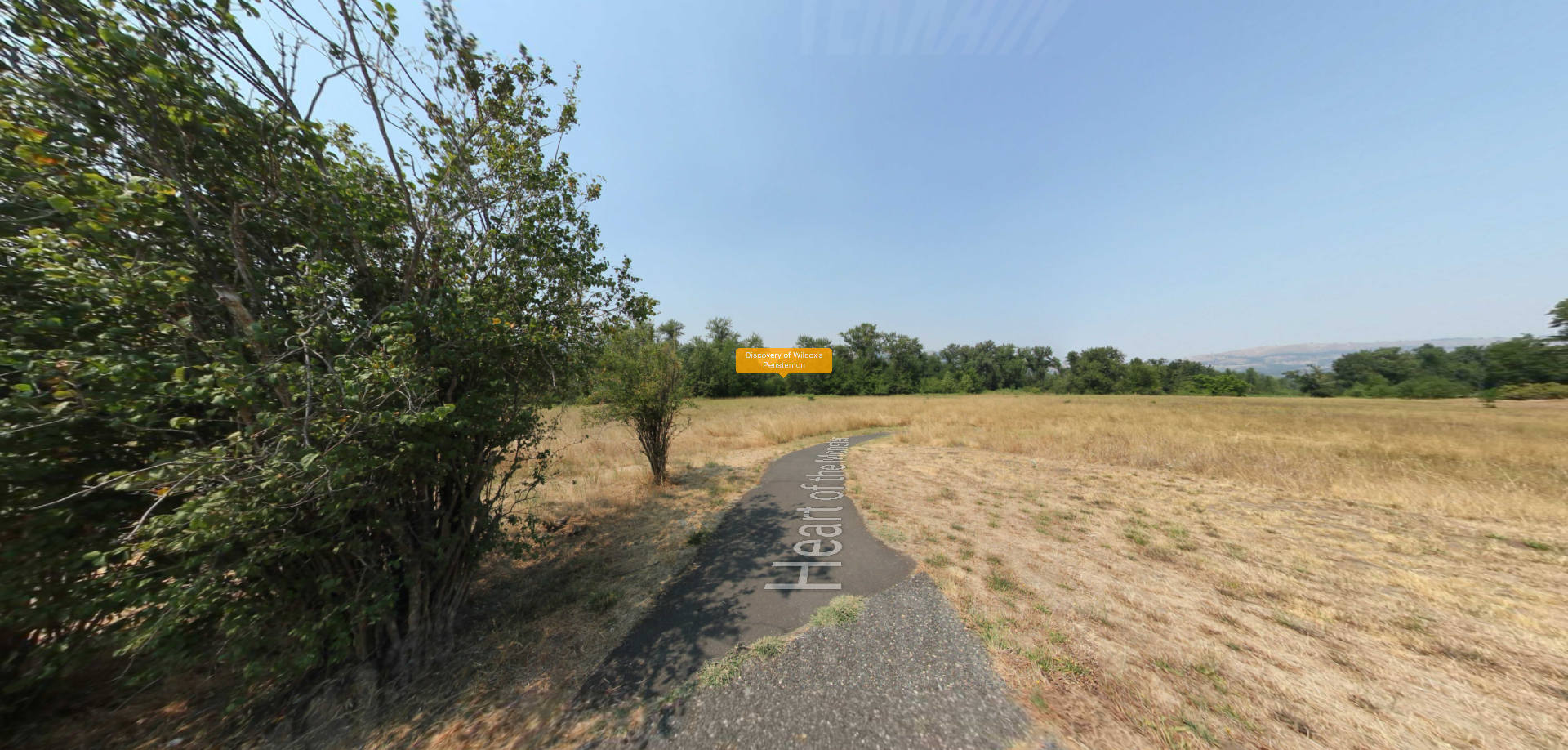
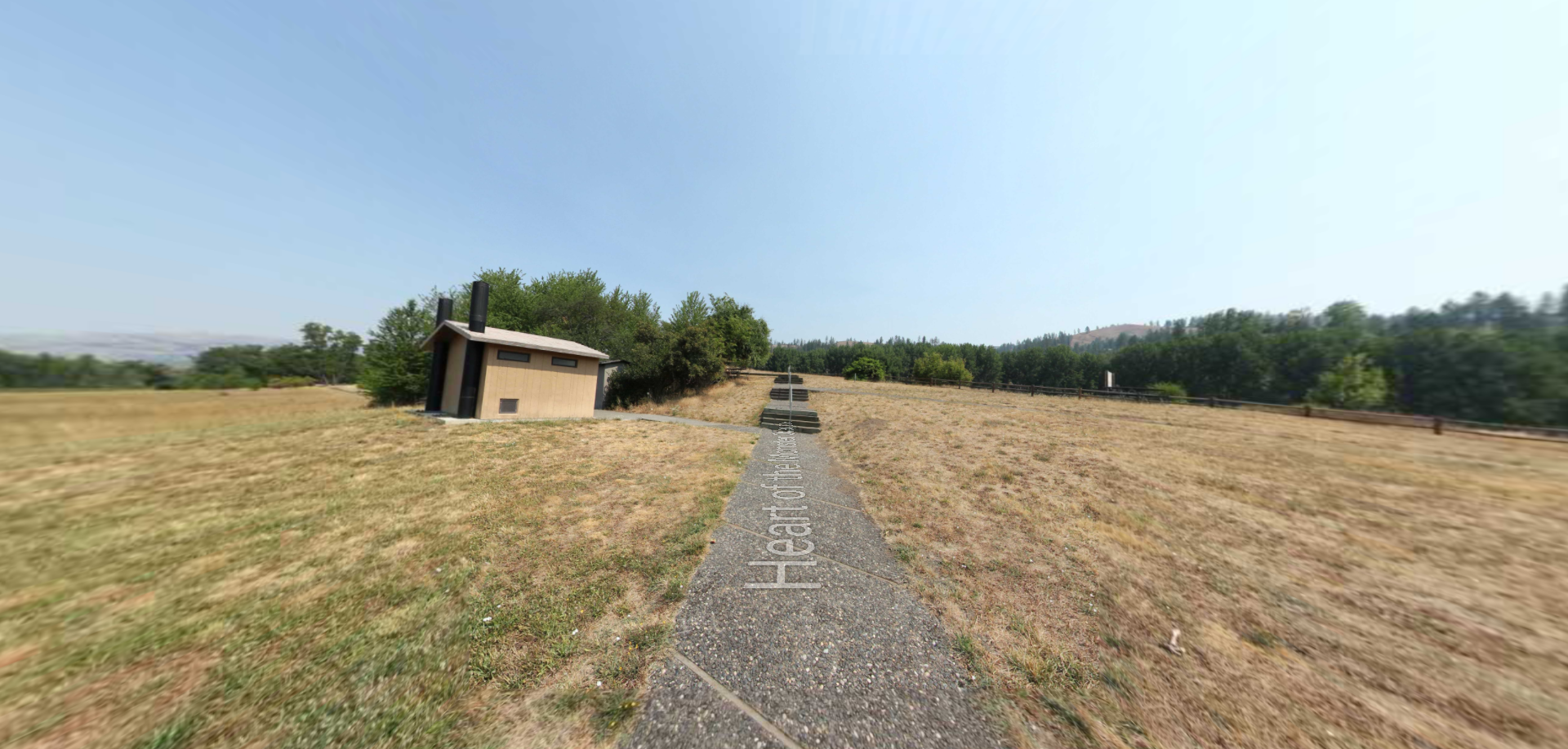
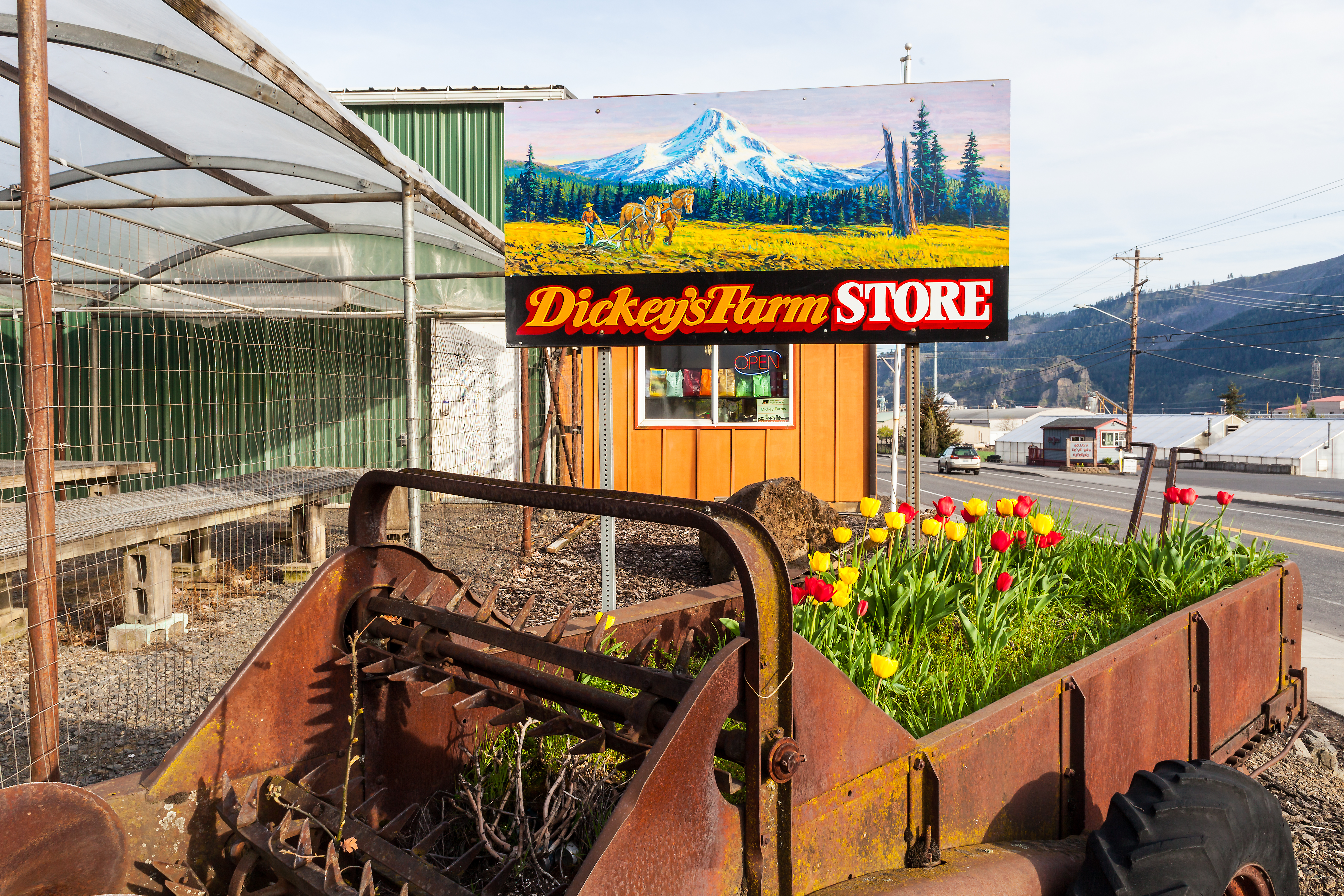
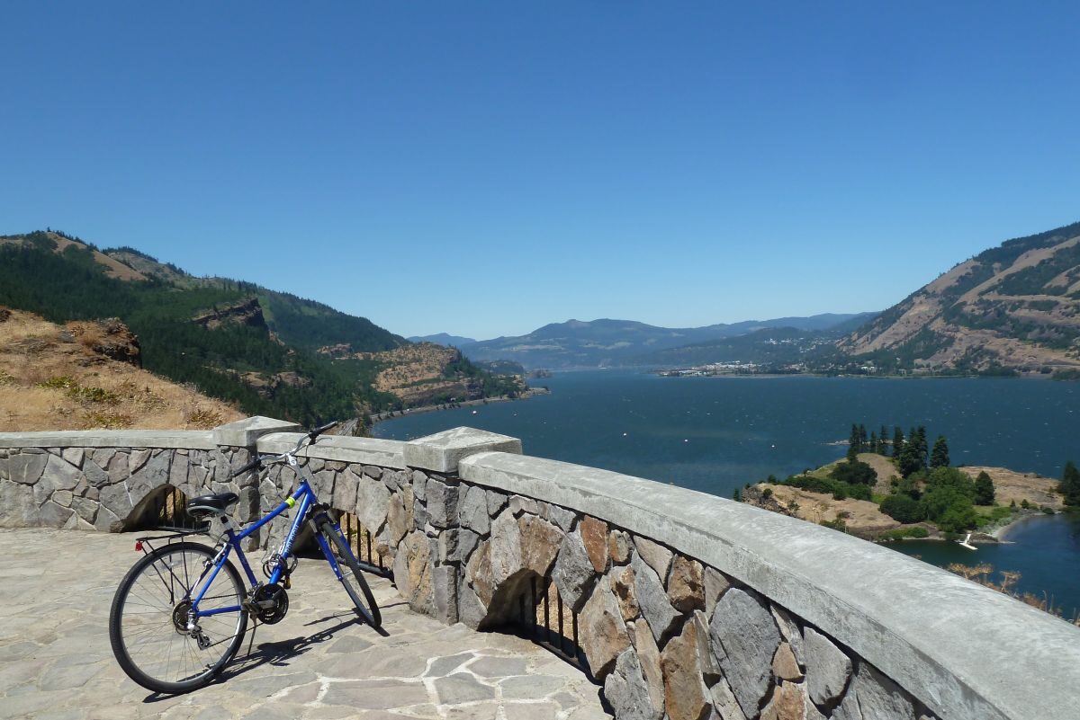
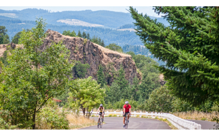
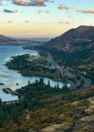
Now, visitors can enjoy stunning views of the Columbia River Gorge from the Historic Columbia River Highway State Trail. The trail comprises three disconnected paved paths along stretches of historic Highway 30 — which predated I-84 as the only road connecting Portland and The Dalles. Together the segments provide a combined 12-plus miles of spectacular geologic formations thrilling scenery from rivers to waterfalls to ponderosa pines! Plan your trip with these trail maps.
Distance Unit:
Distance Unit: