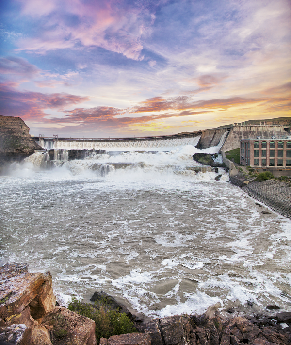
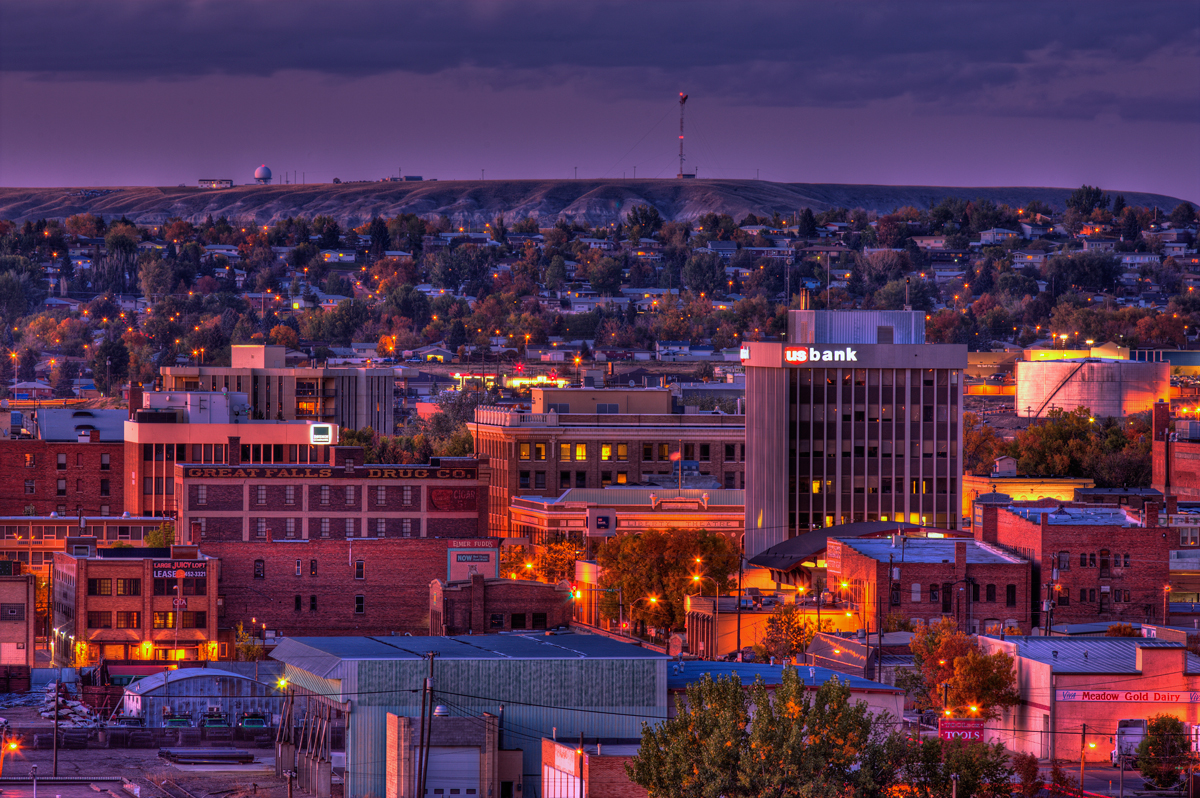
Great Falls, Montana
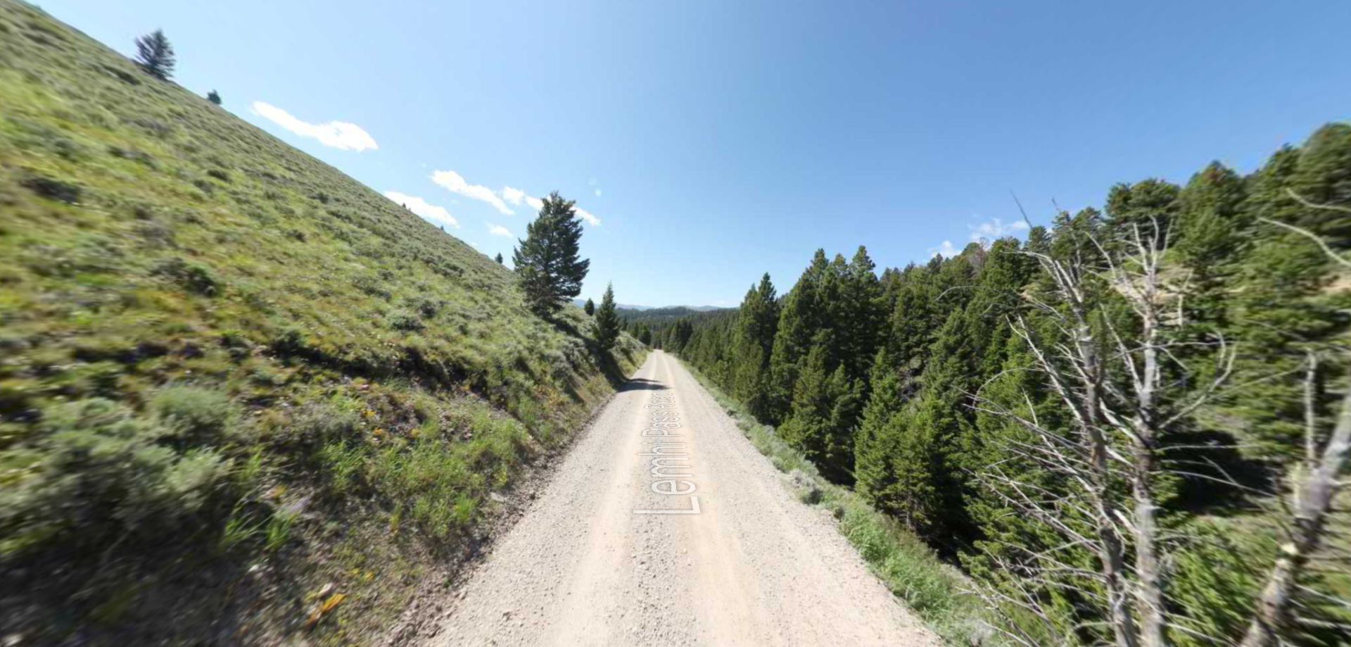
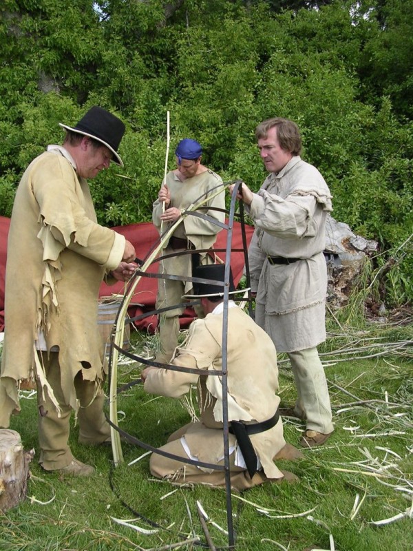
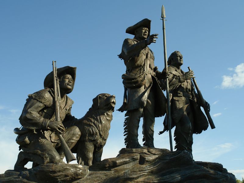
Great Falls is known best for its rich history and its perfectly situated location in central Montana between Yellowstone and Glacier National Park. Lewis and Clark had been told about these beautiful falls by Native Americans that they encountered throughout their journey in the early 1800s, however, they didn’t understand the true extent of these falls until their arrival in what is now Great Falls. To continue their expedition west, the Corps of Discovery had to carry their canoes and gear around the falls, only then realizing how significant the falls were.
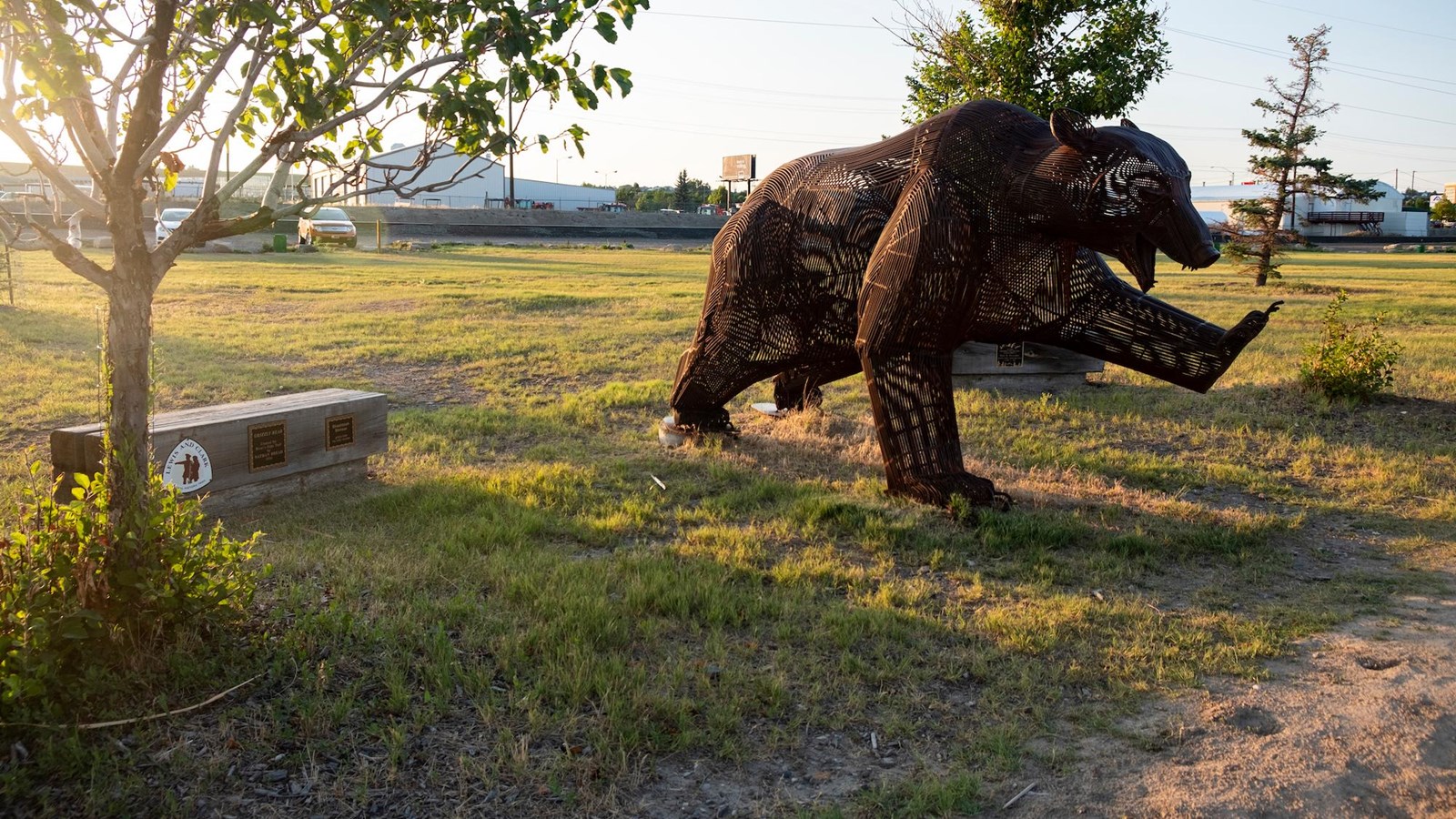
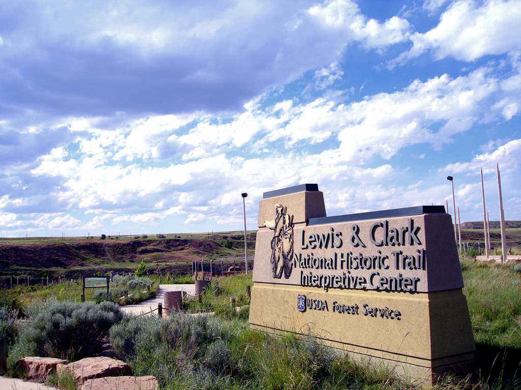
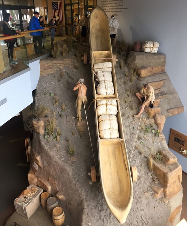
Today, the city of Great Falls represents the major feature in the Lewis and Clark expedition, as it is home to the Lewis and Clark National Historic Trail Interpretive Center. This center walks through the 8,000-mile voyage by having a variety of activities from videos, guided tours, junior ranger programs, Lewis’ Lookout scavenger hunt, and other outdoor opportunities.
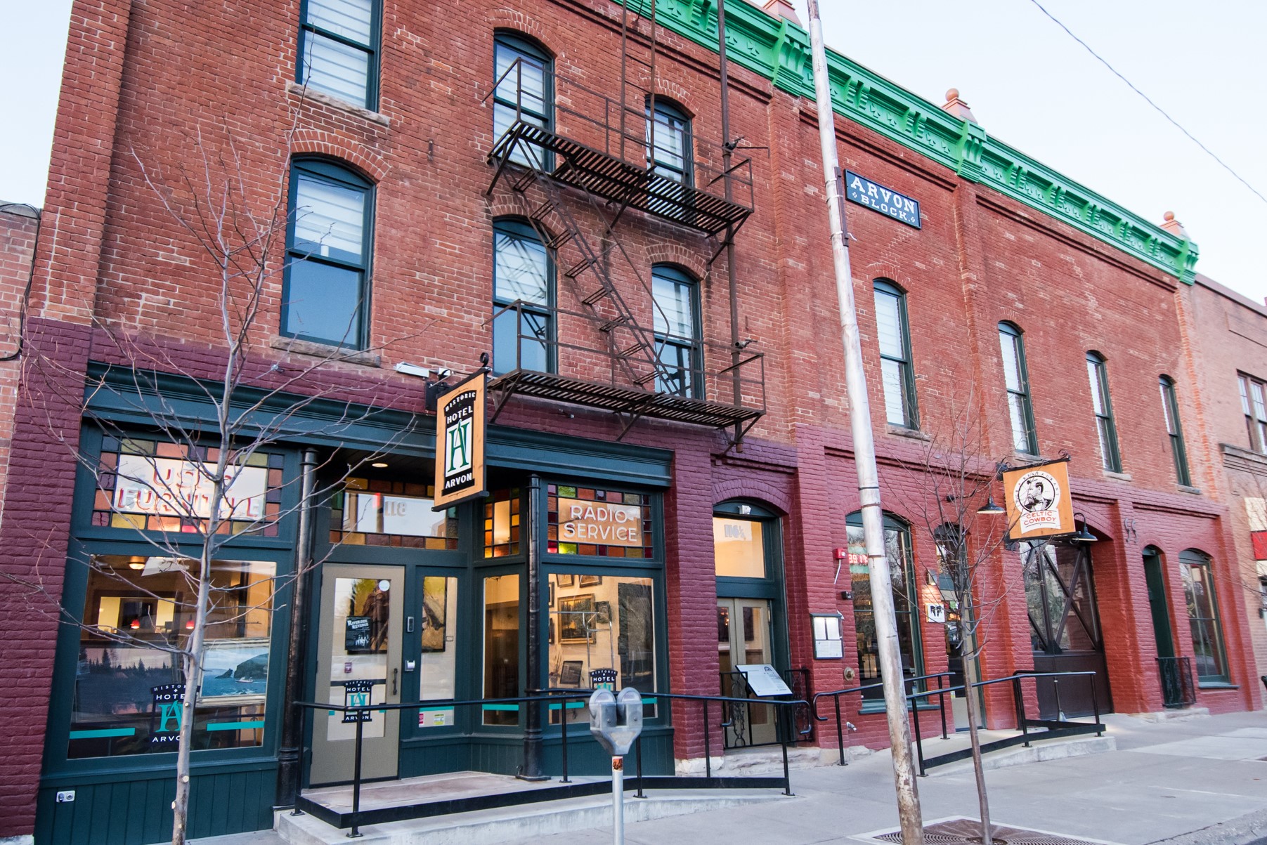
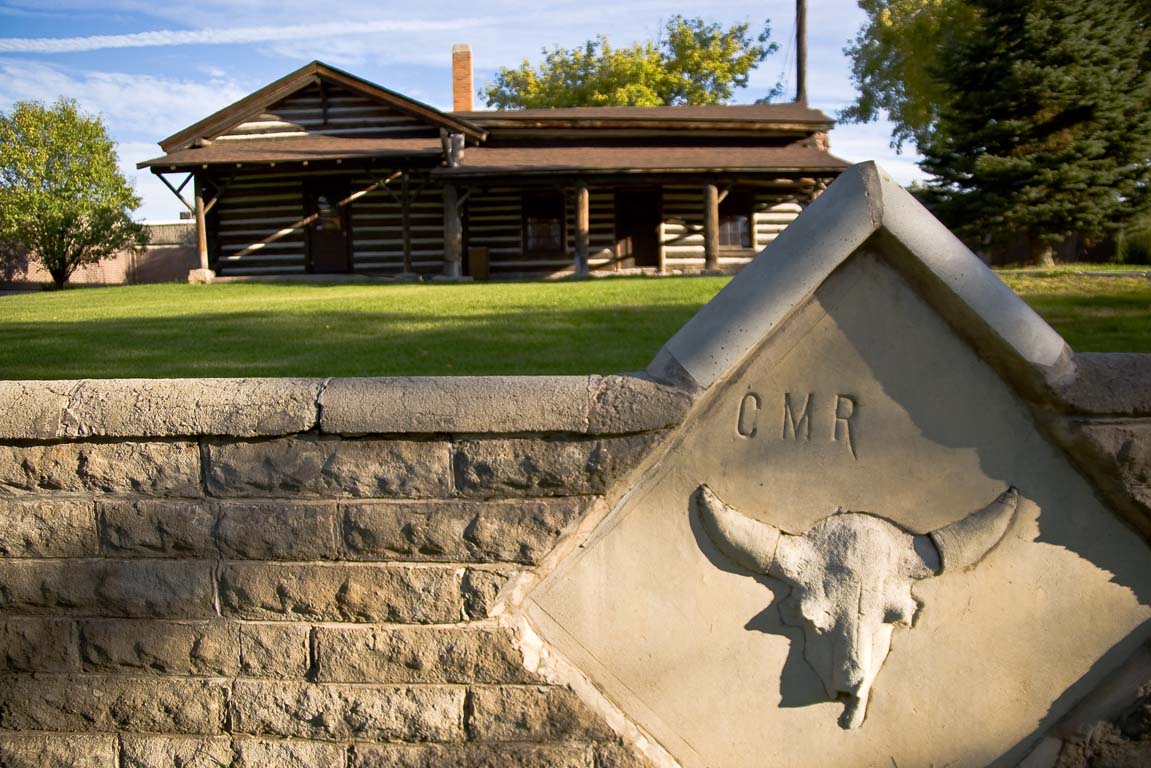
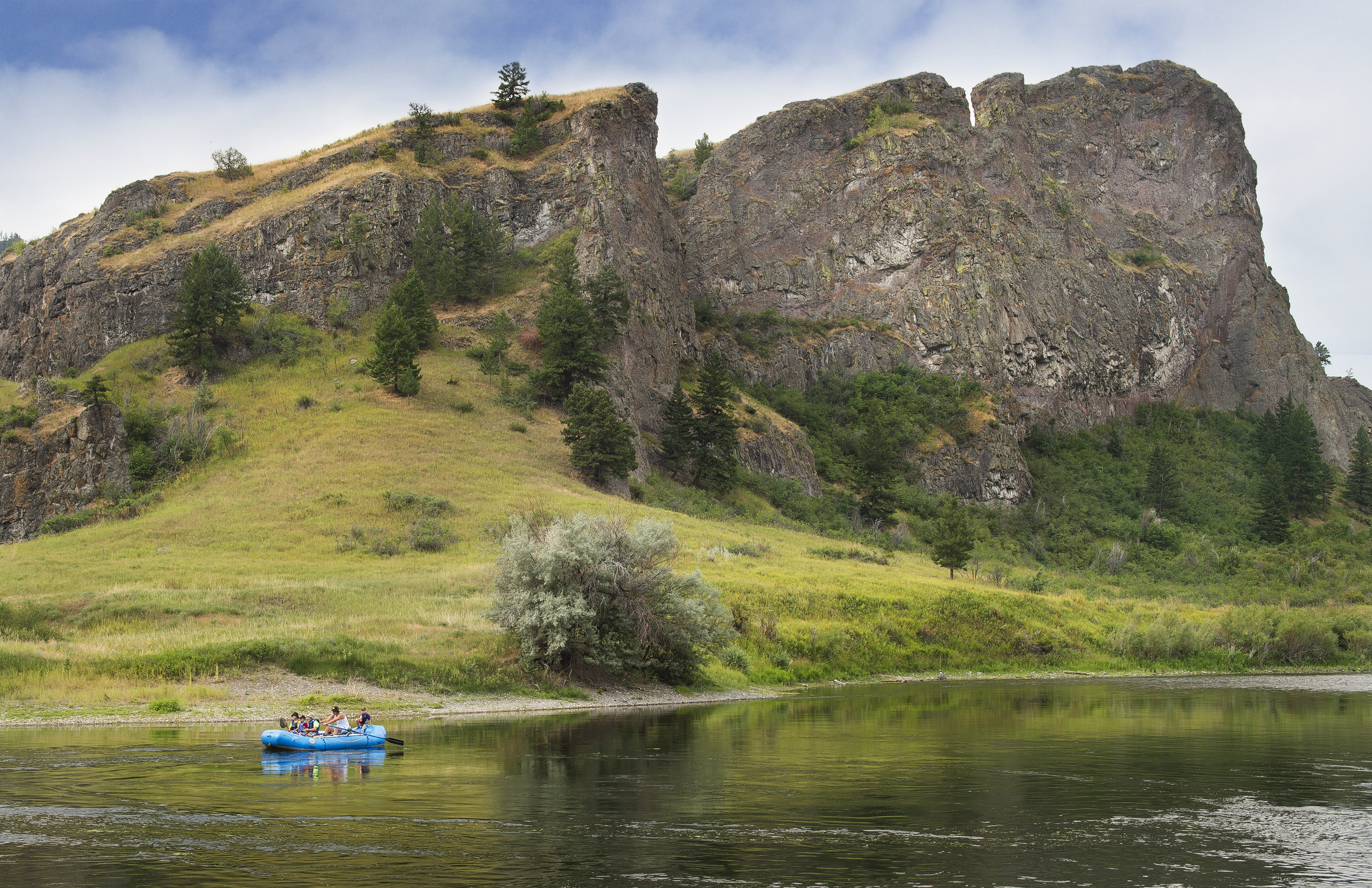
Great Falls offers a variety of day hikes, galleries, outdoor recreation, scenic views, museums, breweries, and so much more! Where’s a better place to connect the past to the present than this historic, robust town? Enjoy local breweries, the C.M. Russell Museum, or afloat on the river while taking in the incredible event that occurred over 200 years ago.
Distance Unit:
Distance Unit: