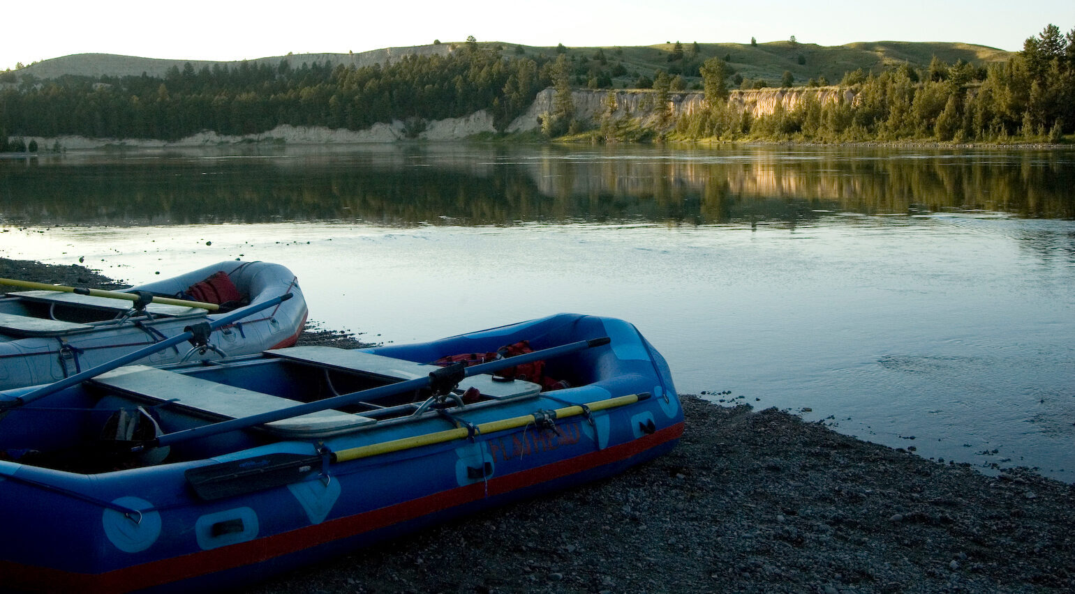
Flathead Raft Company
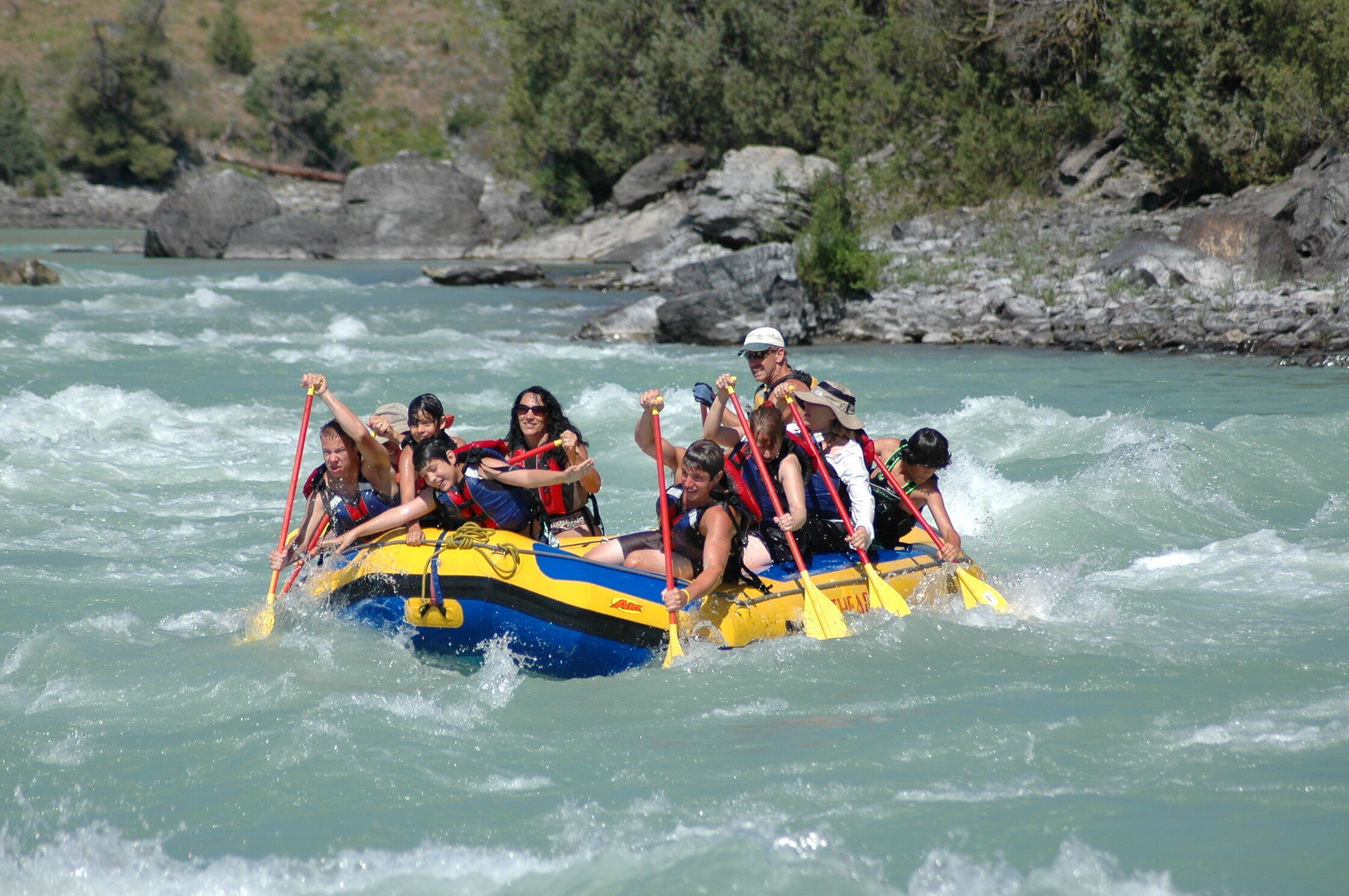
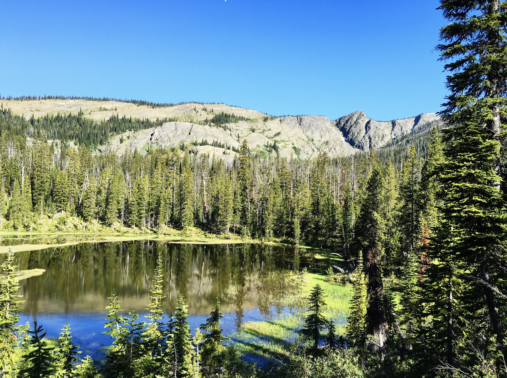
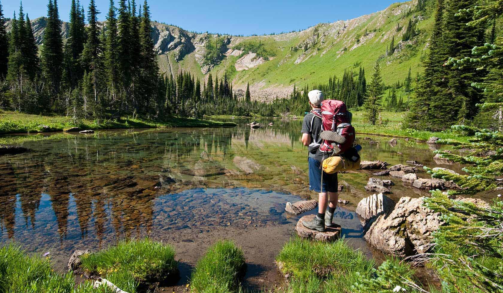
Whether you are looking for whitewater rafting, kayaking, scenic rafting or sea kayaking in the tranquility of a mountain lake, the Flathead Raft Company has an adventure waiting for you. If you are truly seeking adventure, come try out the new sport of river boarding. We offer trips suited for all levels of experience: from sea kayaking through the remote islands of the Flathead Lake, peaceful river floats in the lower canyon, to braving the Wild Buffalo Rapids of the upper canyon. And with our friendly and experienced staff, you’re guaranteed to have an adventure you’ll remember for the rest of your life.
Distance Unit:
Distance Unit:


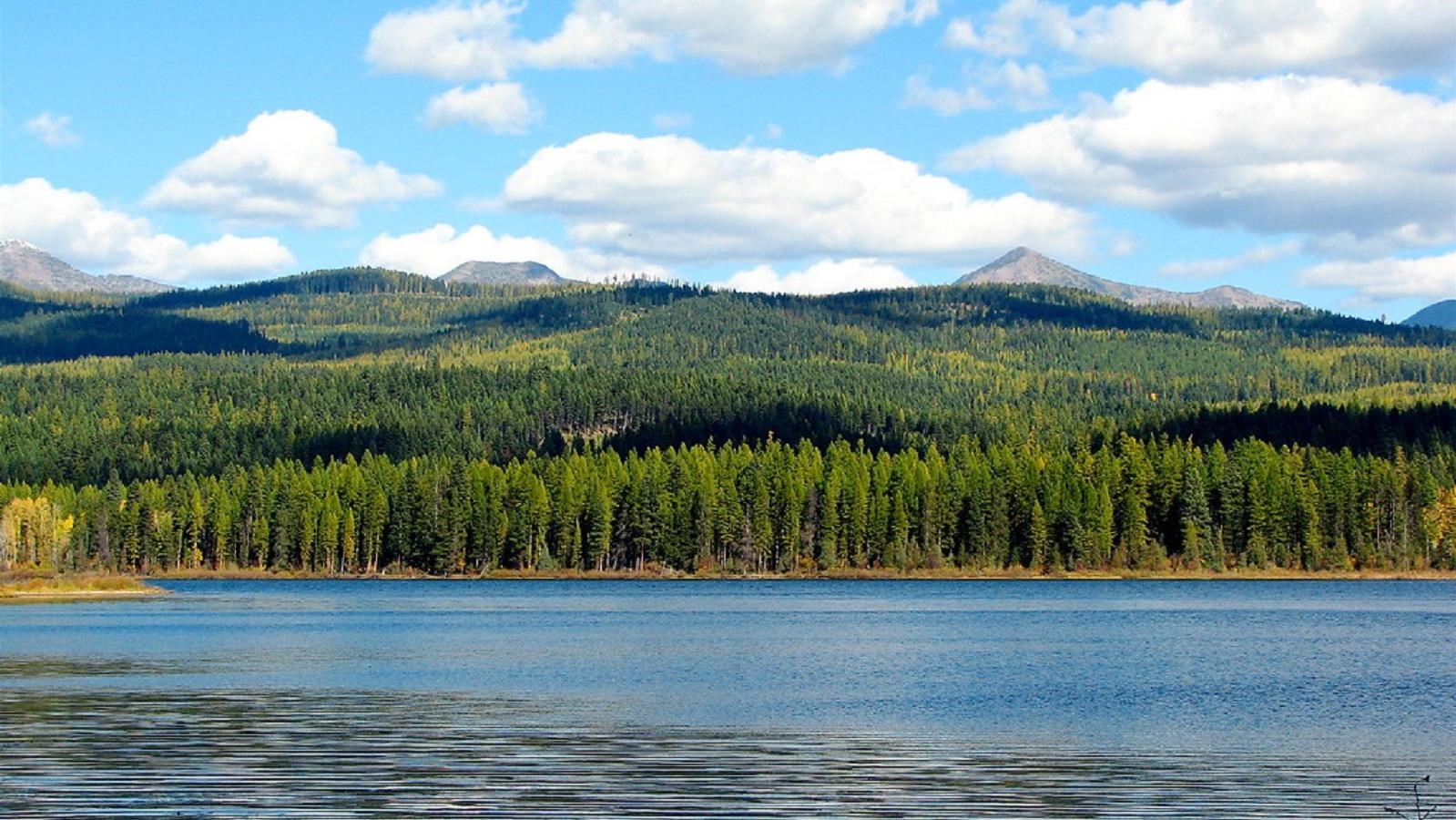
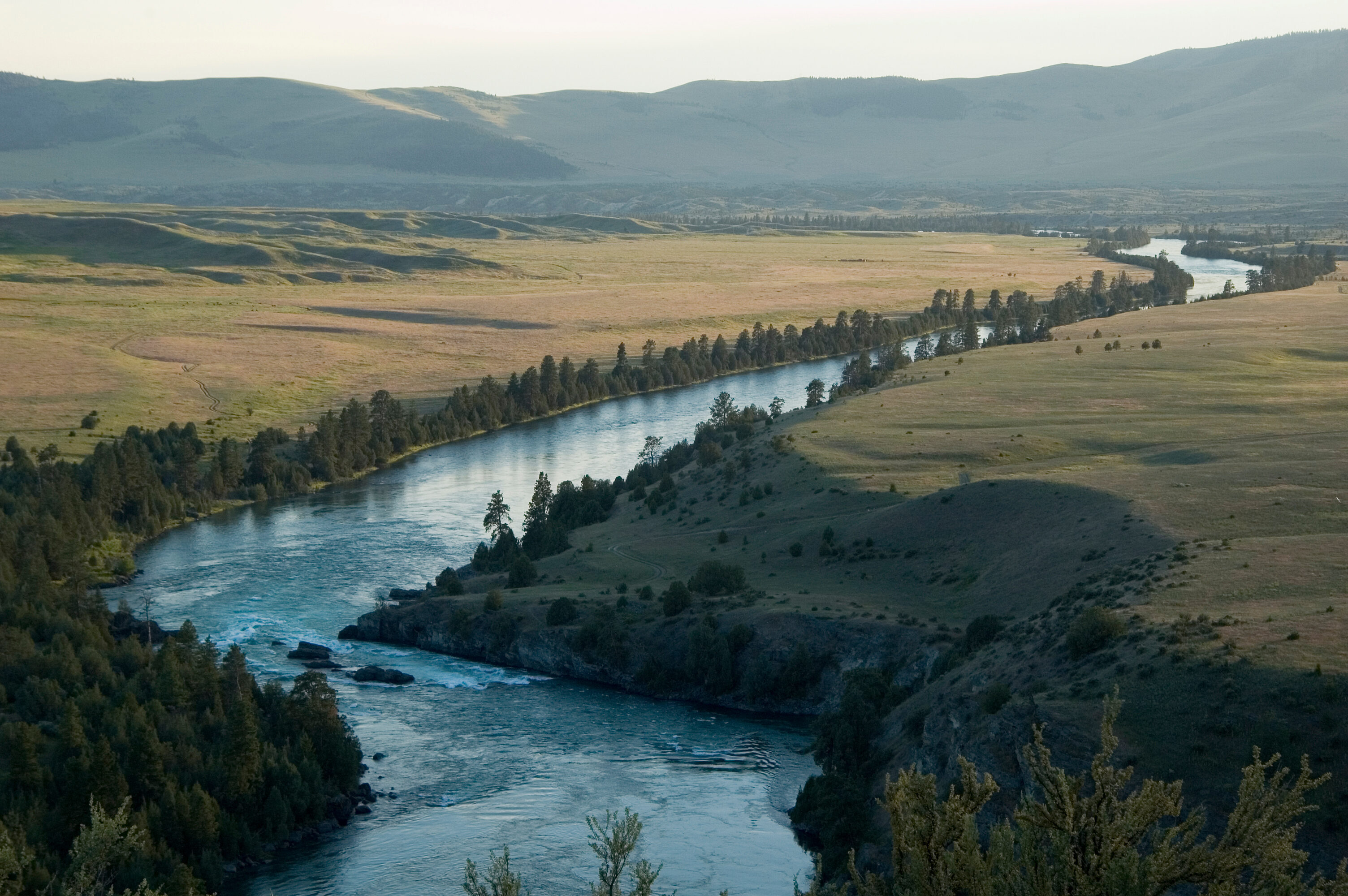
The Blackfoot River, sometimes called the Big Blackfoot River to distinguish it from the Little Blackfoot River, is a snow-fed and spring-fed river in western Montana.