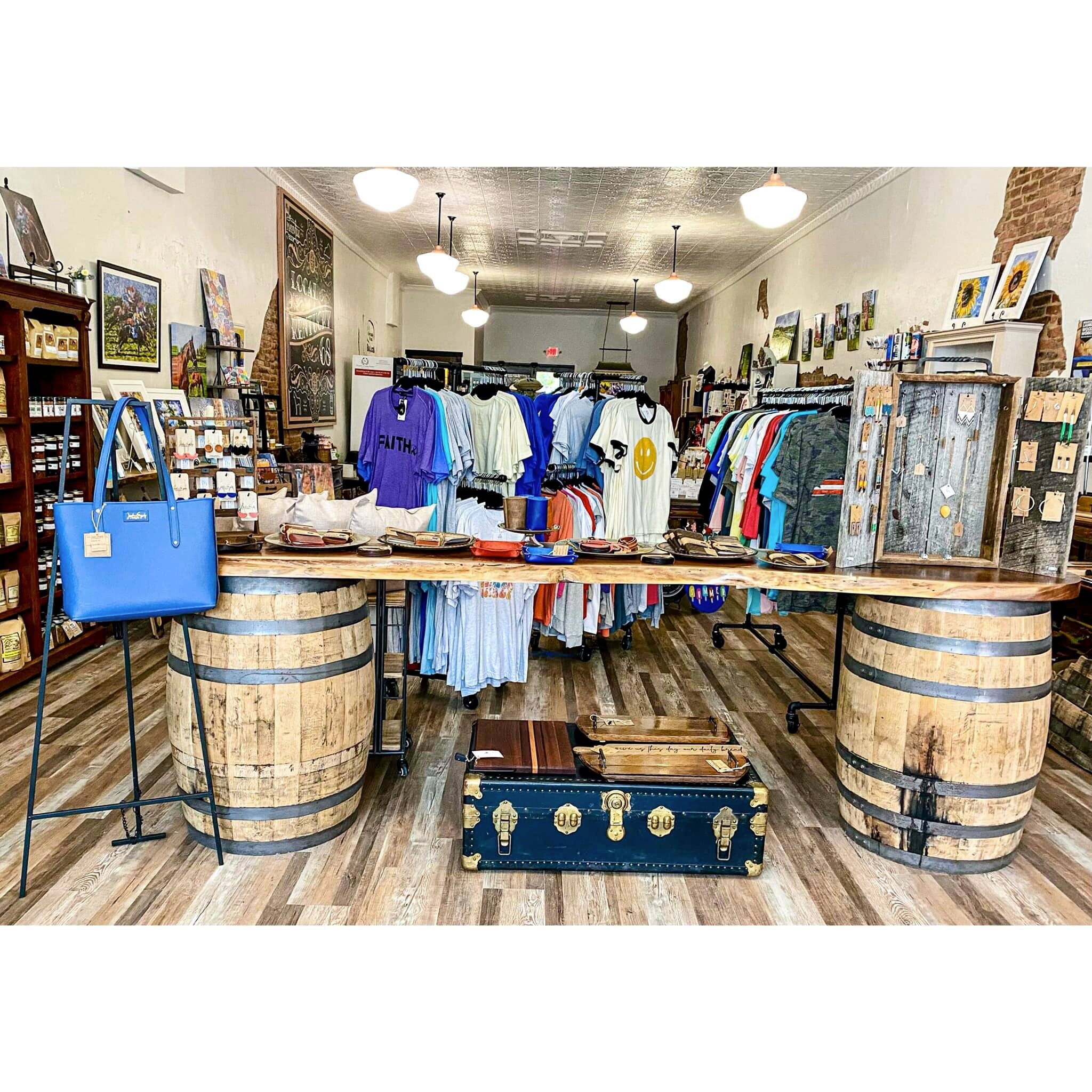
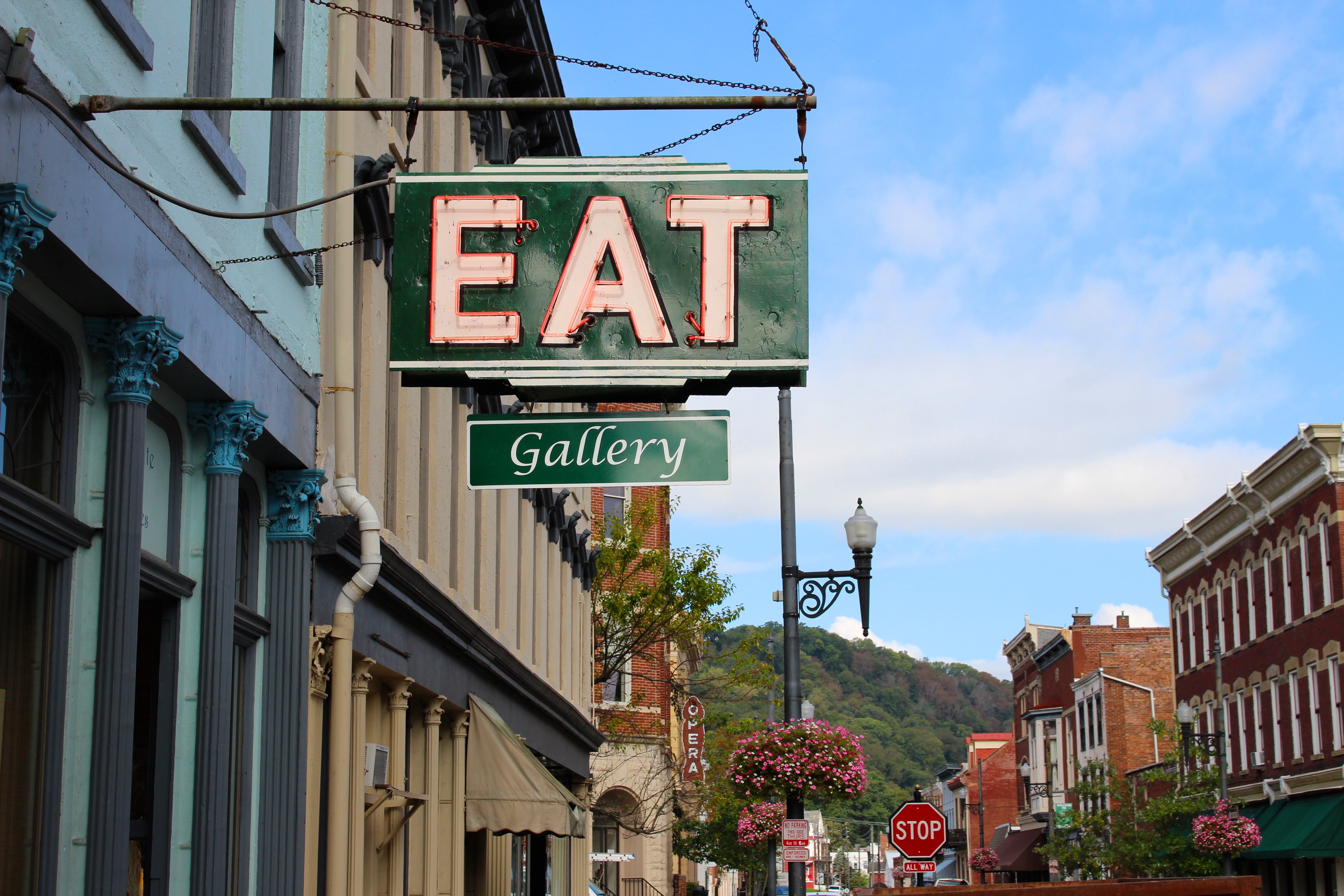
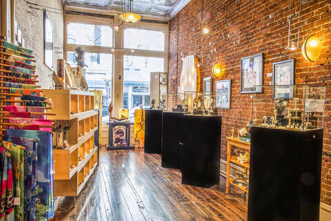
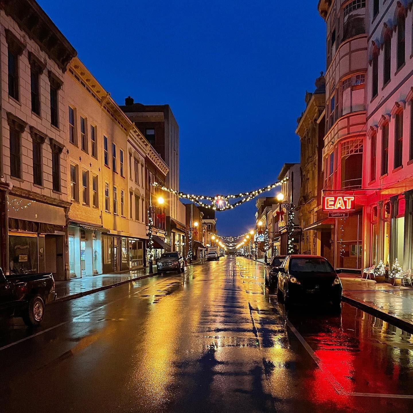
EAT Gallery

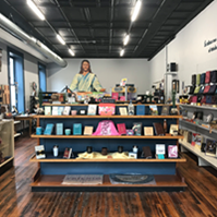
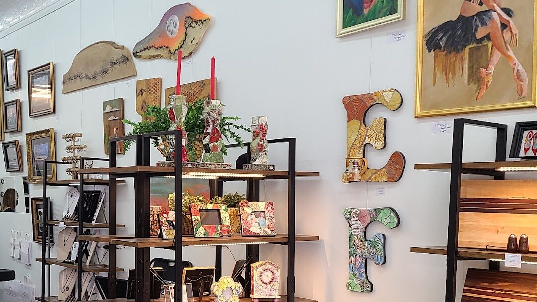
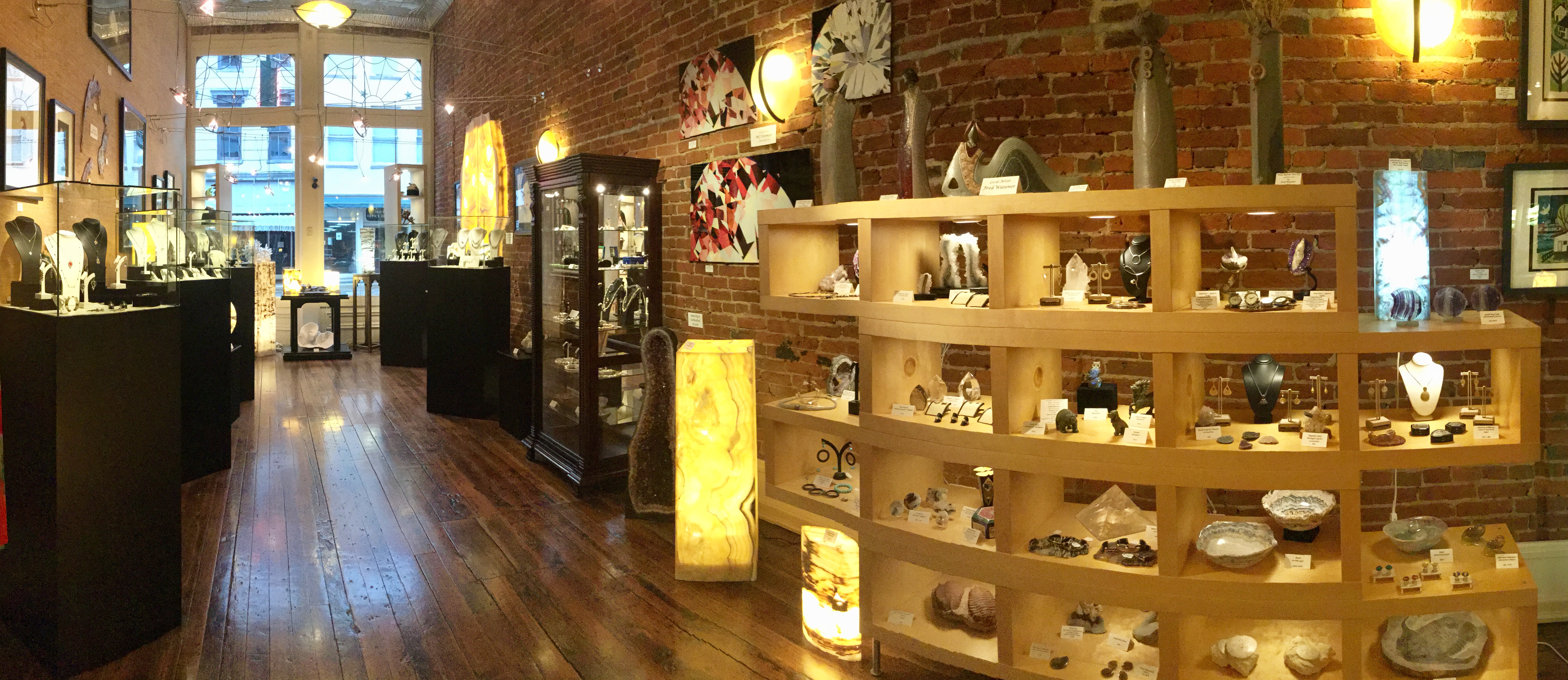
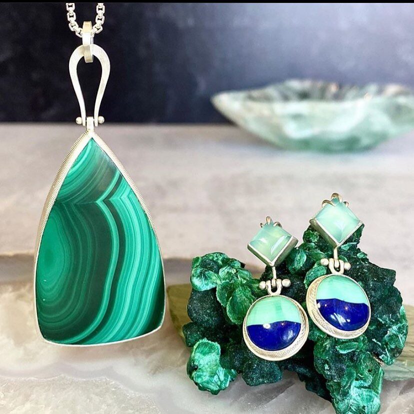
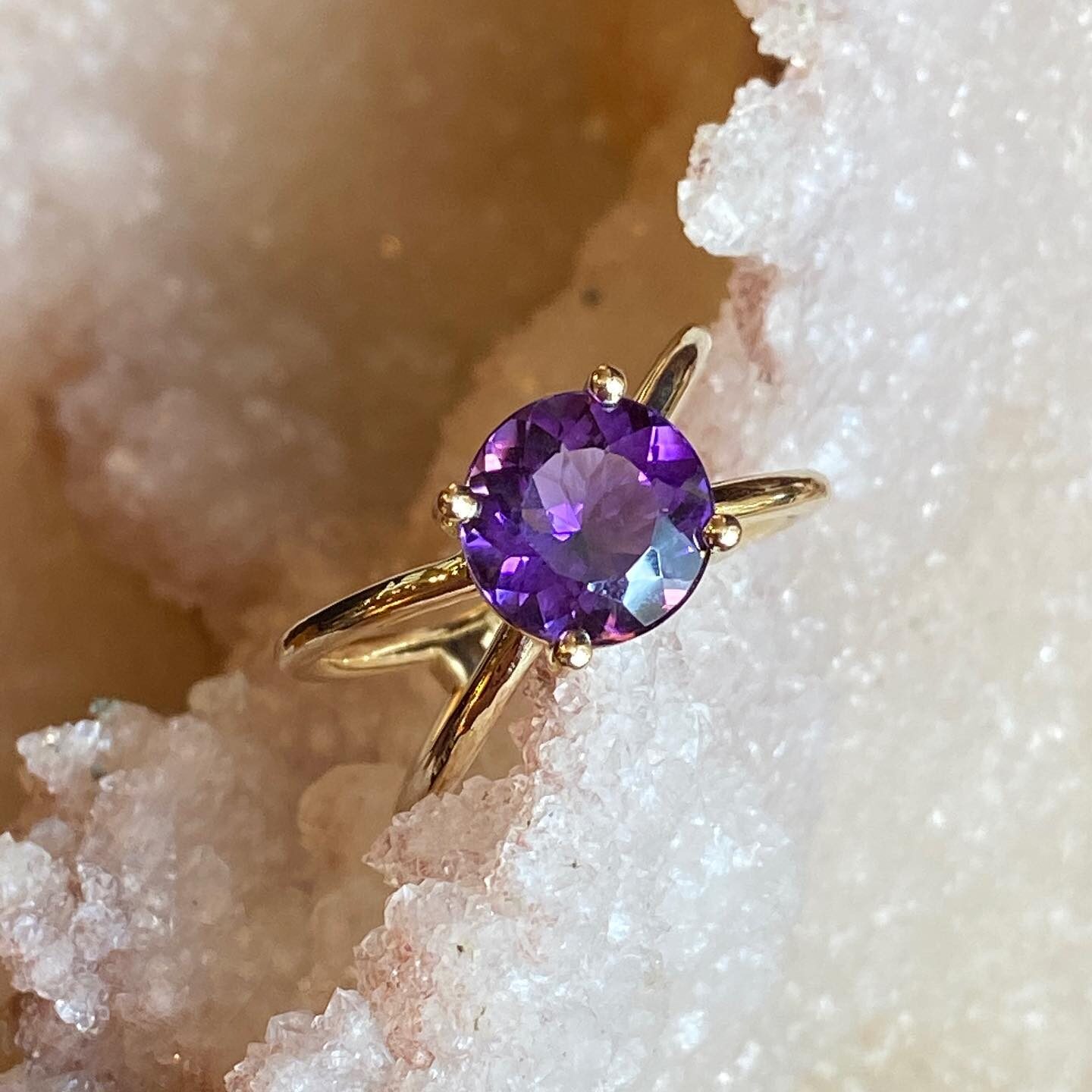
The E.A.T Gallery is one of the absolute staples of historic Maysville, Kentucky. Here, visitors can get a sense of what it is like to shop in a traditional small-town boutique without sacrificing quality. Located in historic downtown Maysville, visitors will be able to feel our Appalachian roots in our modern, high-quality jewelry. At the E.A.T Gallery, we offer hand-crafted, artisan, jewelry that can not be found anywhere else. Here, we deeply cherish the opportunity to provide high-end jewelry while displaying our roots in east Appalachia.
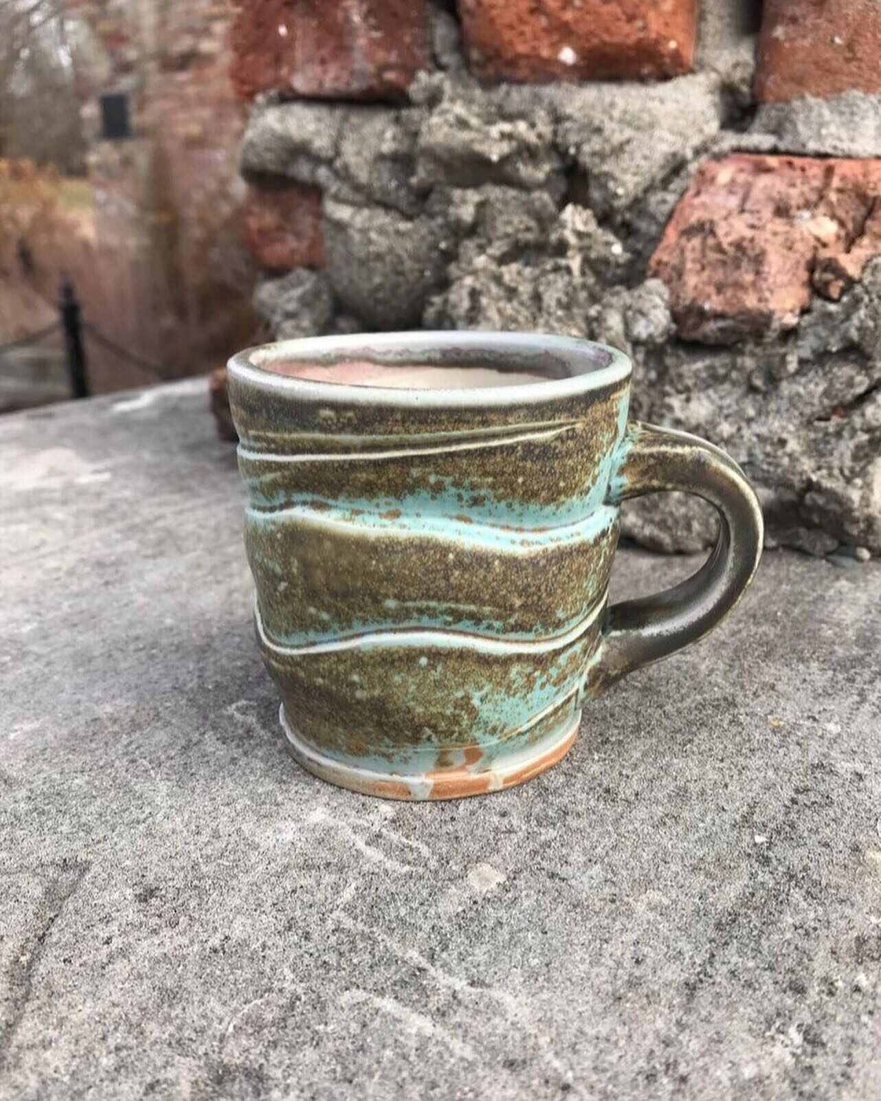
Our selection of art is perhaps what makes us the most proud. Our gallery gives local artists to show off their great talent while contributing to the beauty and success of our store. While every painting and sculpture is unique, they all work wonders in displaying the tremendous beauty of Maysville and Appalachia at large. E.A.T was even awarded the distinction of “coolest store in America” by Instore Magazine.
The building where we operate has stood the test of time in downtown Maysville. It was once a historic diner where weary travelers could refuel. Now, we “feed the soul”. Here at E.A.T, we want to show off the unmistakable beauty of nature while providing people with high-quality art and jewelry.
Distance Unit:
Distance Unit: