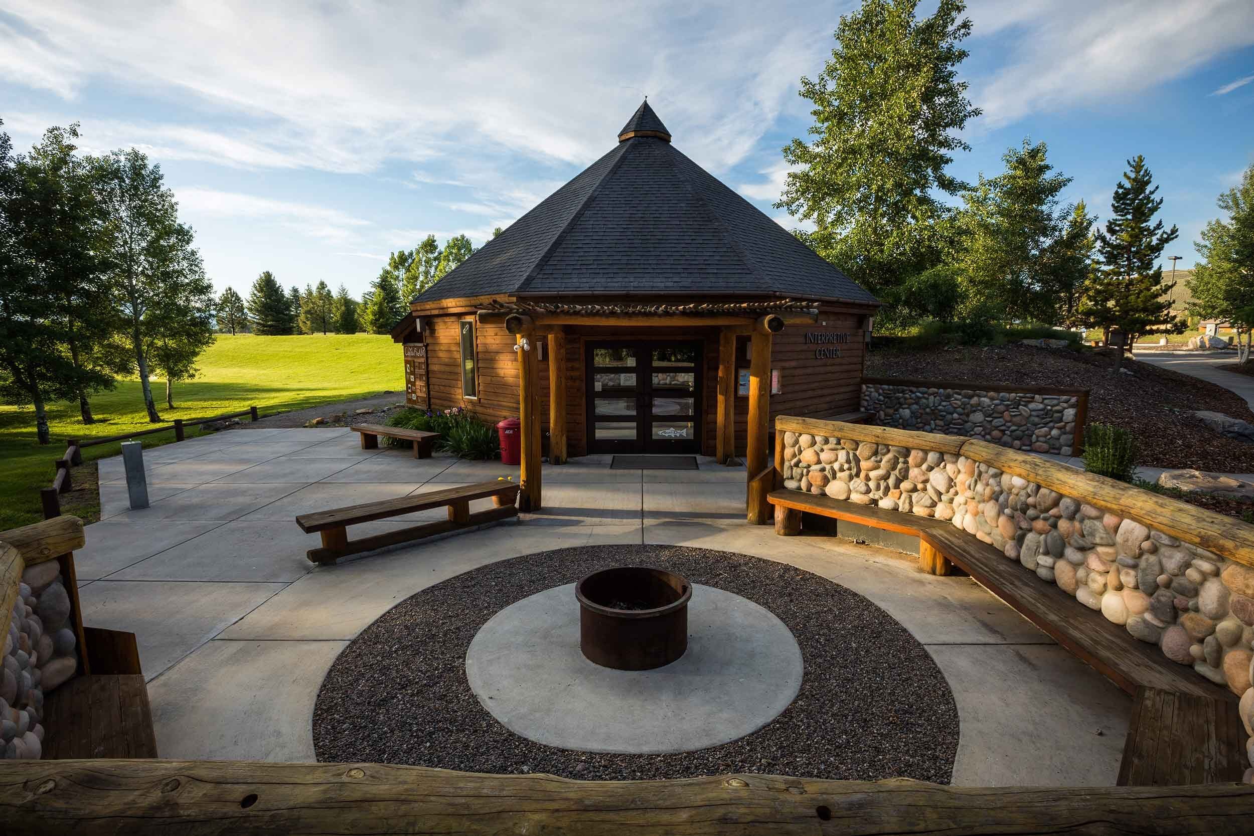
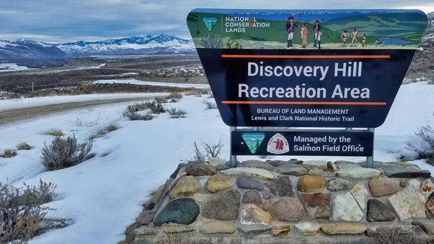
Discovery Hill Recreation Area
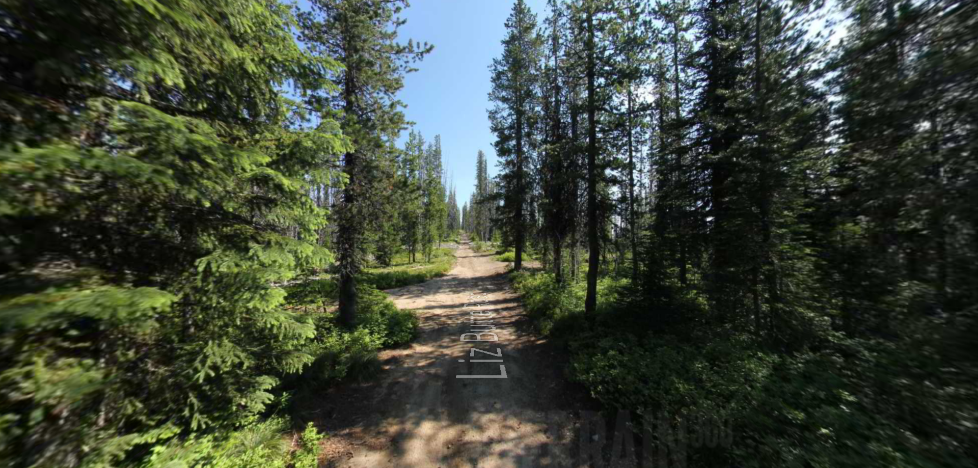
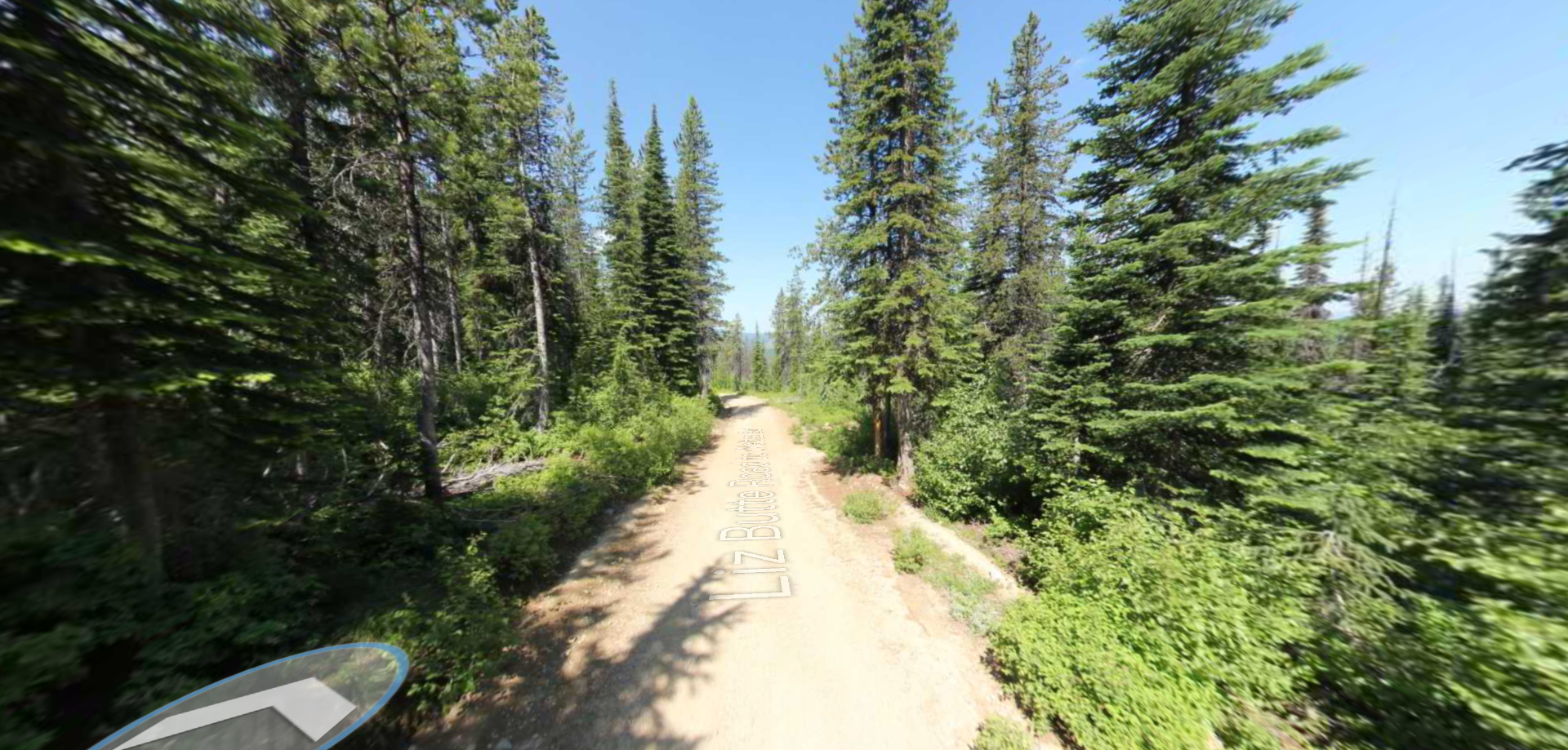
Discovery Hill has become the go-to for visitors of Salmon, Idaho who love the outdoors. Visiting hikers can traipse along original portions from the trail charted by the Corps of Discovery, which thankfully remains unchanged to this day. Activities at the Discovery Hill Recreation Area include but are not limited to biking, hiking, fishing, horseback riding, hunting and wildlife viewing.
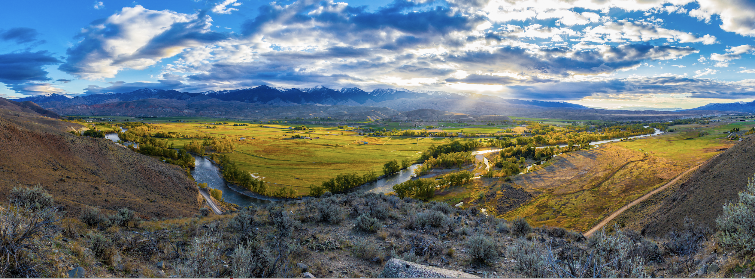
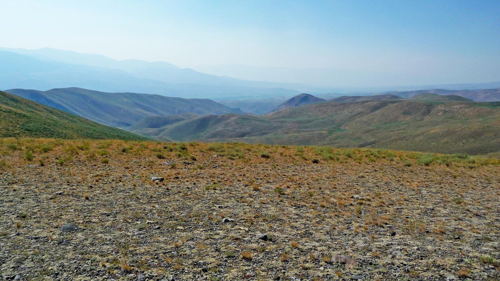
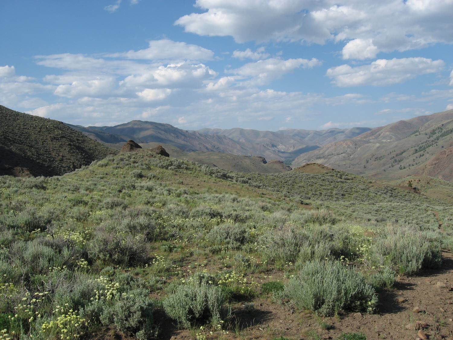
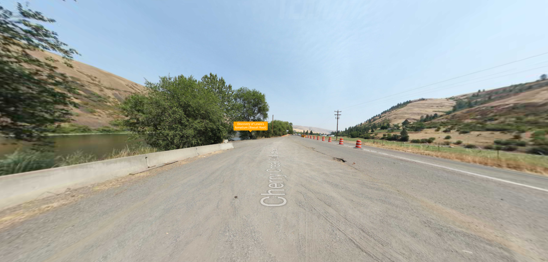
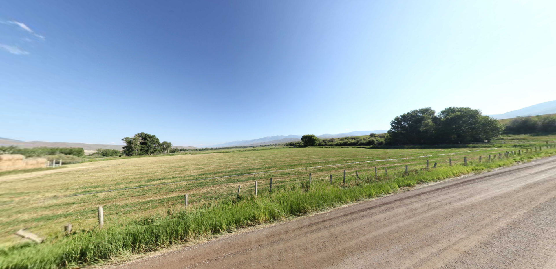
In August of 1805, the Corps of Discovery moved up the Lemhi River Valley into the area of today’s Salmon, Idaho, where the Lemhi meets the Salmon River. They would have peered up onto the surrounding mountains, never imagining the things people would one day do in the region for enjoyment and recreation.
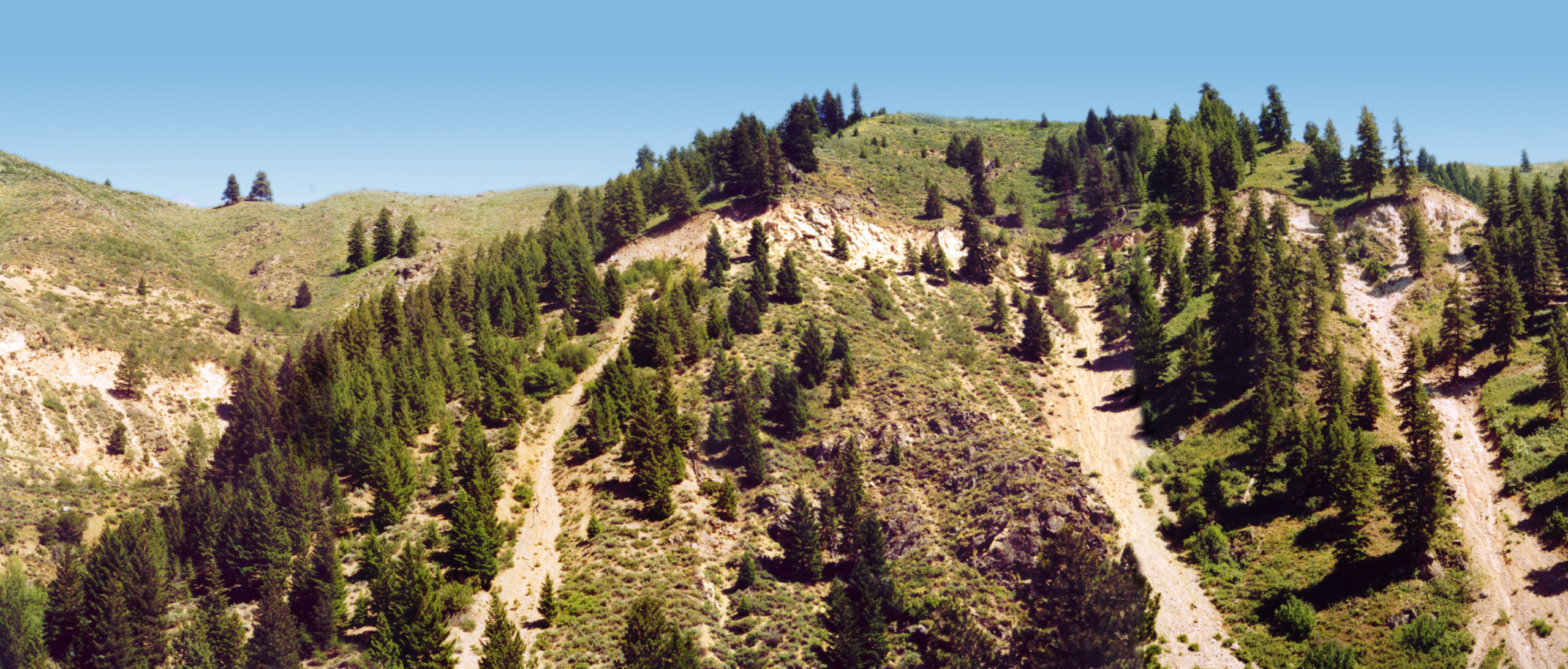
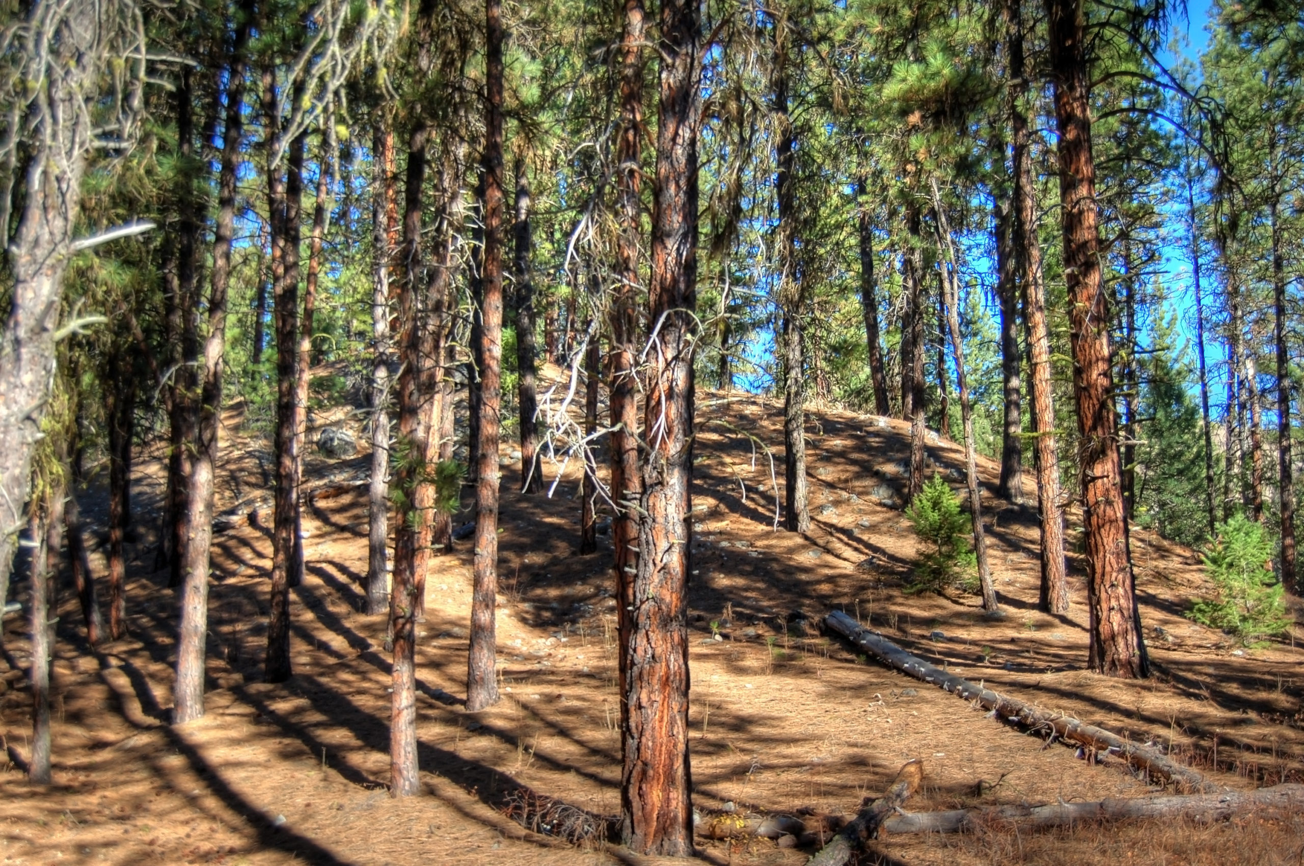
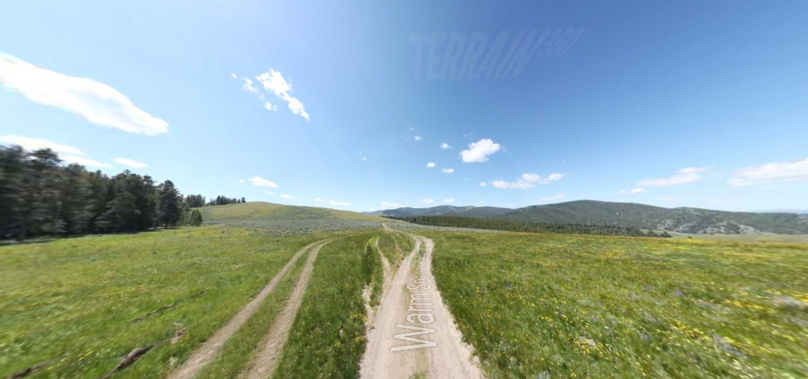
Just a few miles north of downtown Salmon, mountain bikers enjoy exceptional single-track riding trails – smooth terrain through rolling sage hills set against the stunning backdrops of the Continental Divide above and the Salmon River Valley below. This is Discovery Hill Recreation Area where the trails are generally smooth, fast, and moderately challenging, making it an ideal place for riders of all skills and abilities.
Managed by the Bureau of Land Management, Discovery Hill has over 30 miles of trails. While it’s open for riding all year, the BLM asks that riders not ride during periods of heavy rain or snow – to avoid damaging the trail. When in doubt, be sure to contact the BLM office in Salmon by calling 208-756-5400.
Distance Unit:
Distance Unit:
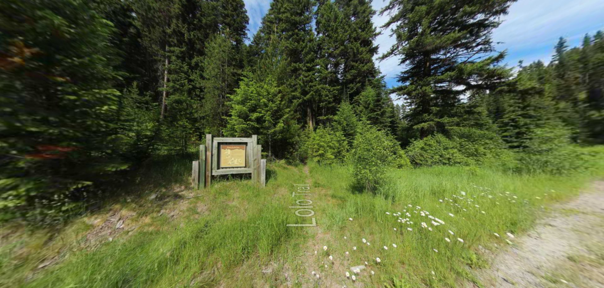
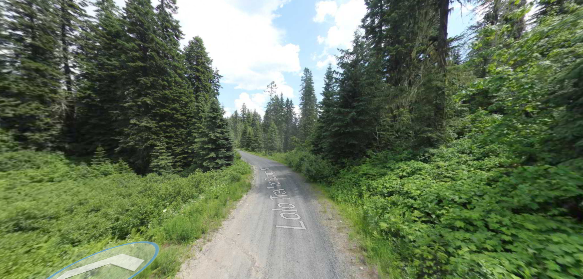
Embark on a historic trail dating back to August 9, 1805, when Lewis, accompanied by a scouting party, ventured away from the main group. Their mission: to discover a portage and establish contact with the…
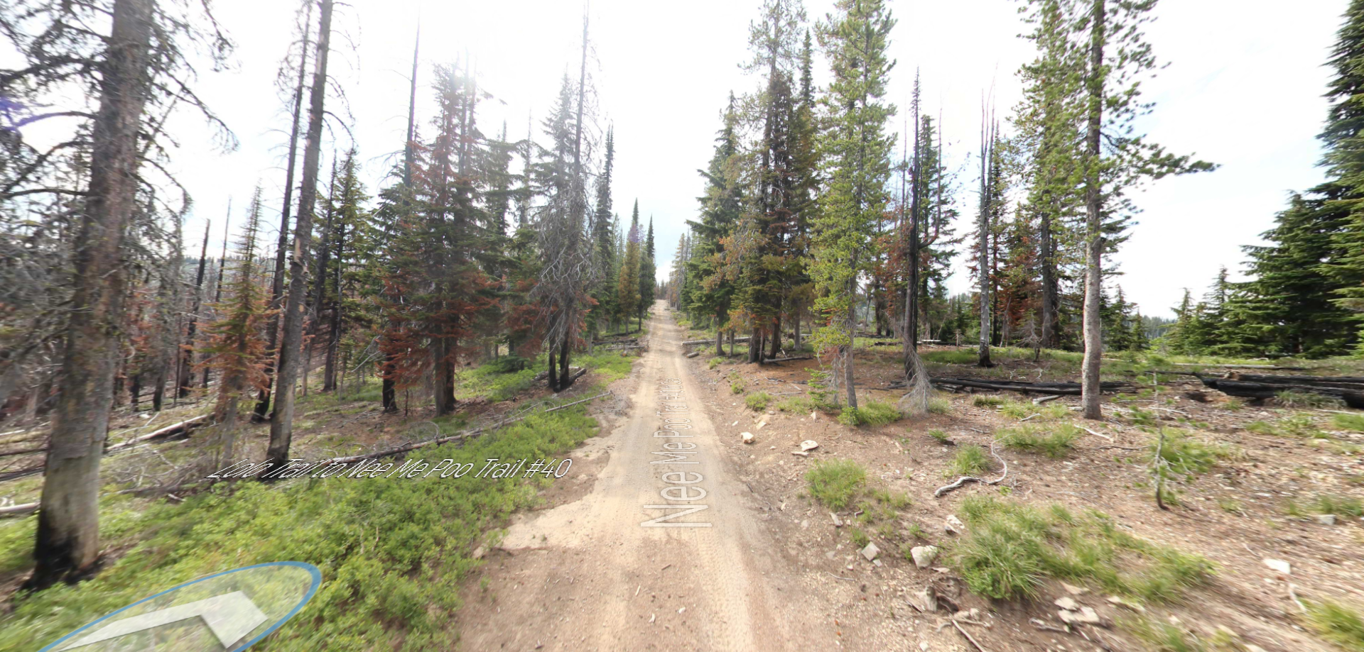
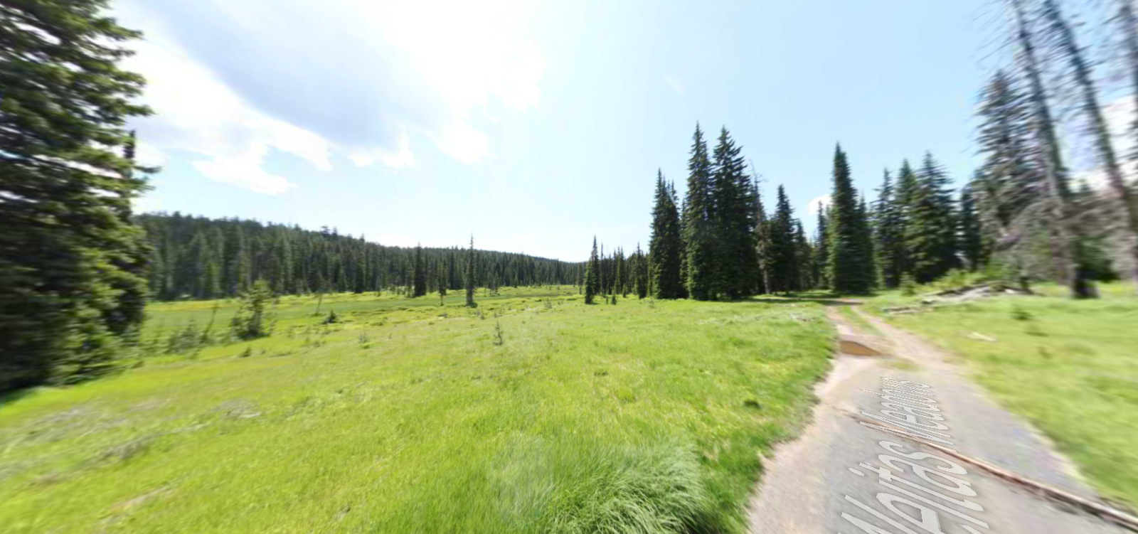
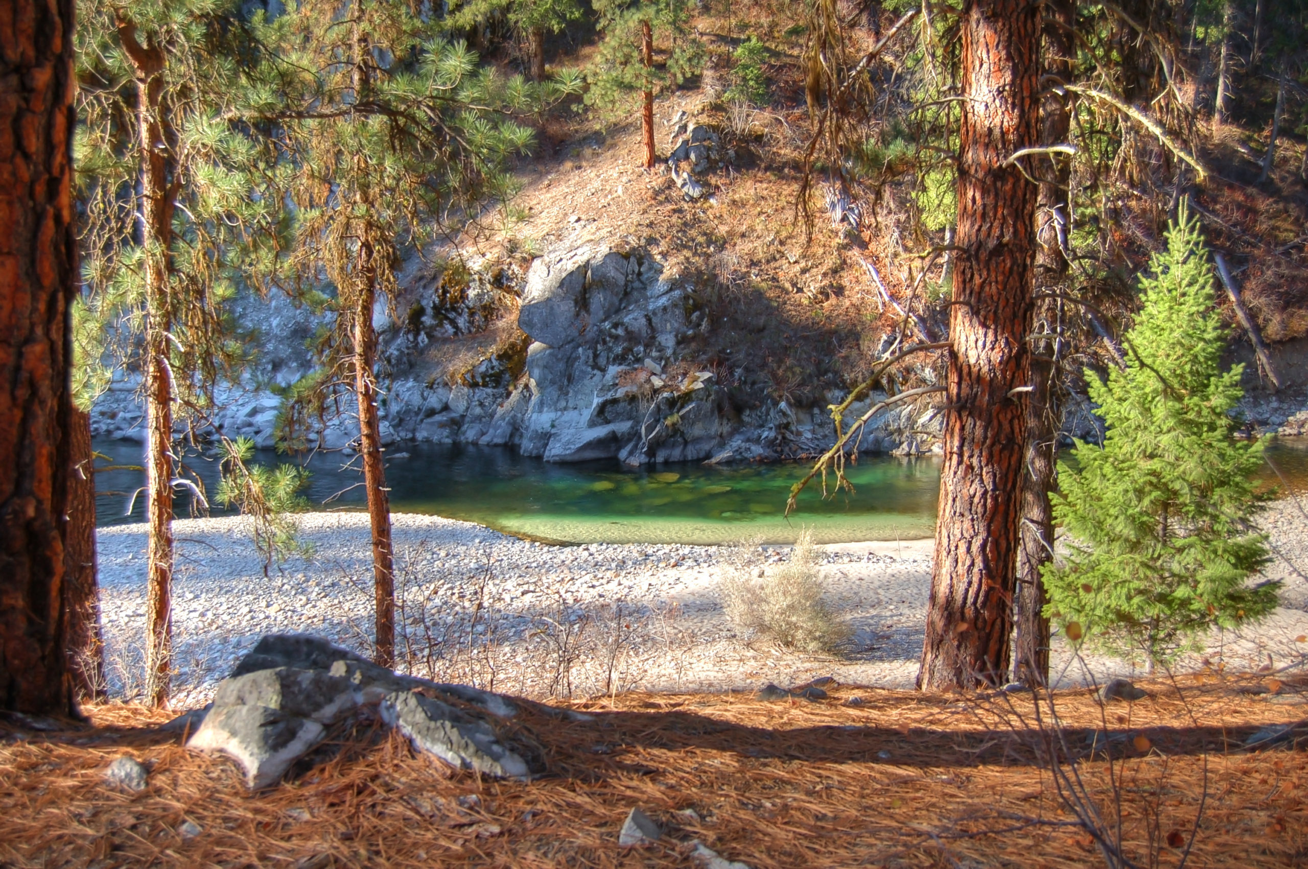
Tucked 35 miles northeast of Pierce, just off Forest Service Road 250, Weitas Campground offers a tranquil escape on the shaded banks of Weitas Creek near the North Fork of the Clearwater River. Accessible via…