Dip-net Viewing Fisher Bridge / Klickitat River
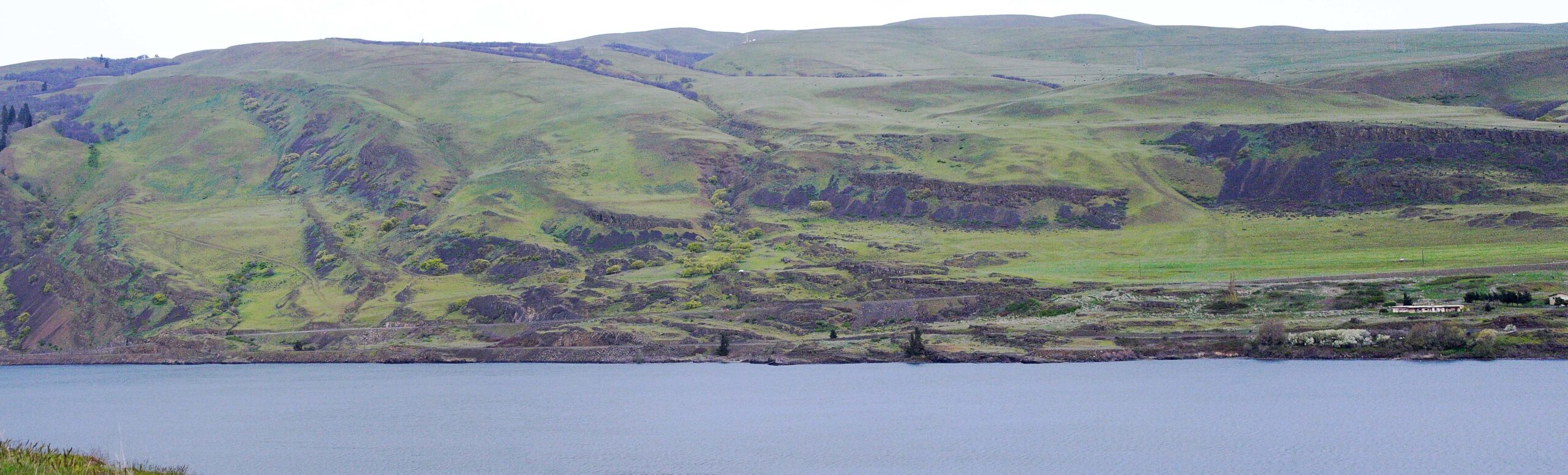
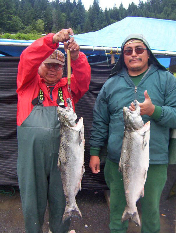
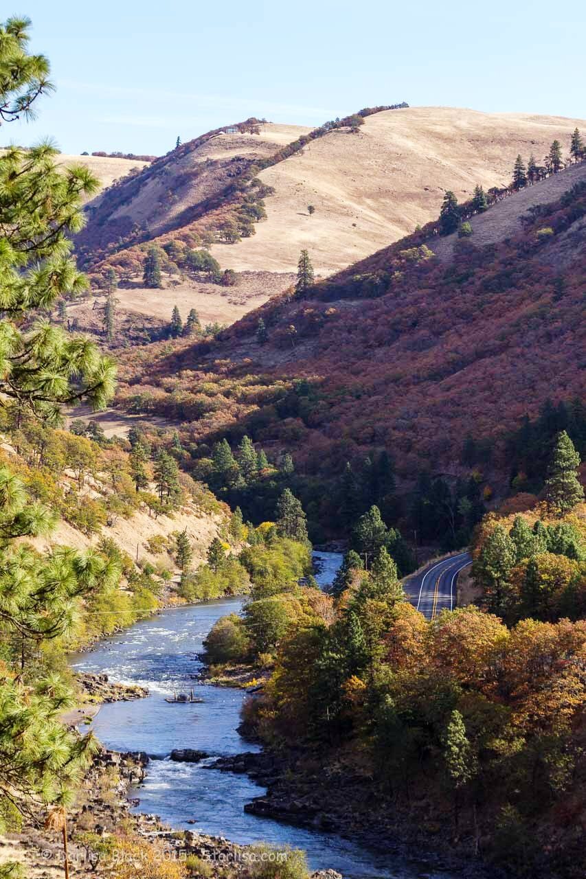
The Klickitat River starts from Mt. Adams and flows until it merges with the Columbia River Gorge. Between river mile 1.1 and 2.5, you’ll find the dip-net sites. In this area of the river Steelhead trout, Chinook salmon, and coho salmon are commonly found.
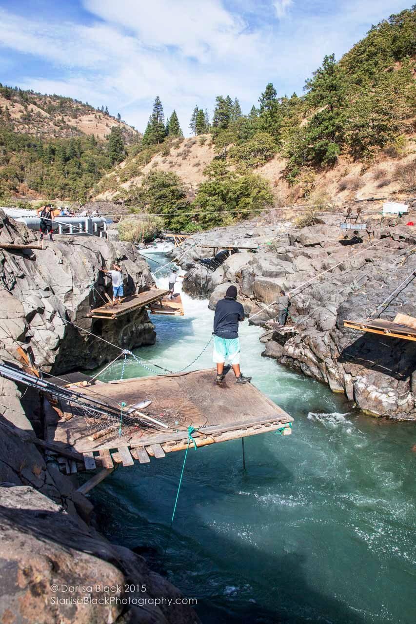
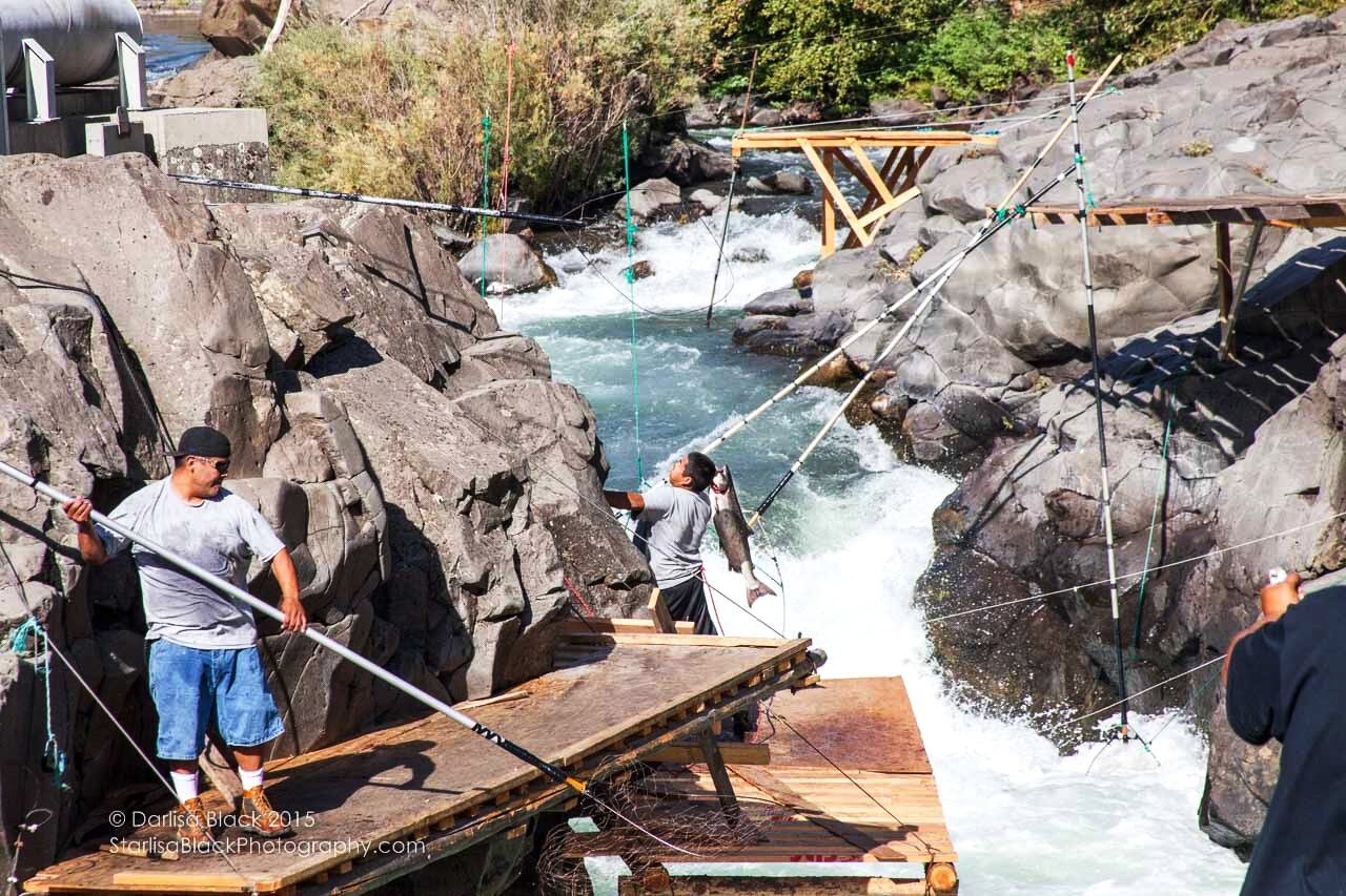
Local tribal members dip net for salmon in the Klickitat River in their traditional methods. Fisher Bridge is a great viewing point of this activity and for fabulous views of this Wild & Scenic designated river. Tribal fishermen have been learning and continuing the practice of dip net fishing. Navigating wood scaffolding along the river, the men use long poles with a handmade net to catch the fish.
There are no facilities here. It is primitive. There is a small parking area on the other side of the bridge. There are approximately 20 dip net platforms along a one-mile section of the Klickitat River from the Fisher Hill Bridge upstream to Lyle Falls.
Come 1.7 miles north on Hwy 142 from SR 14 and the bridge will be on your left.
Distance Unit:
Distance Unit: