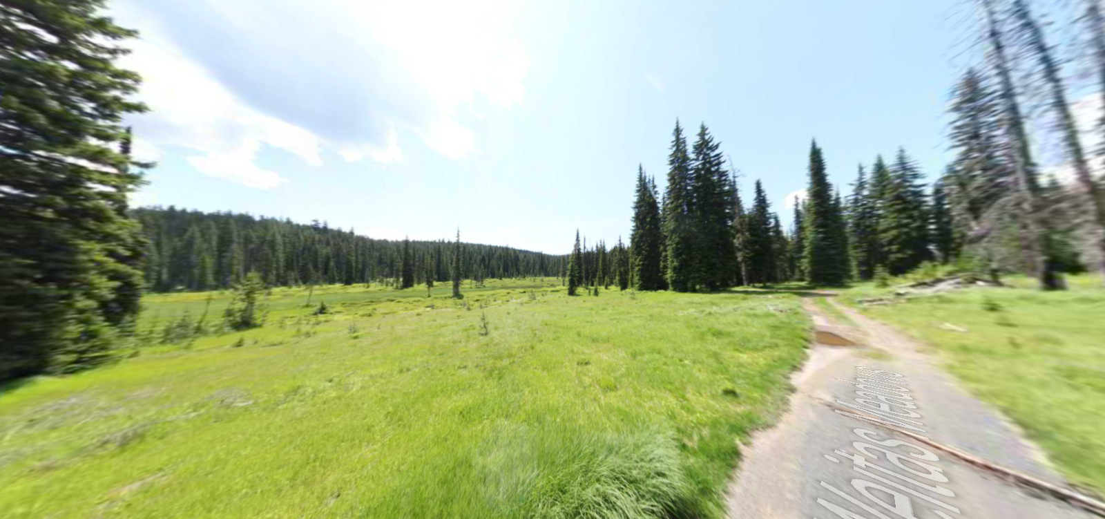
DeVoto Grove Picnic Area and Trailhead
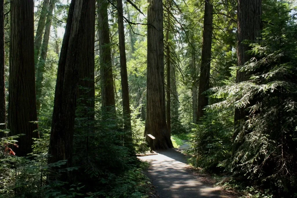
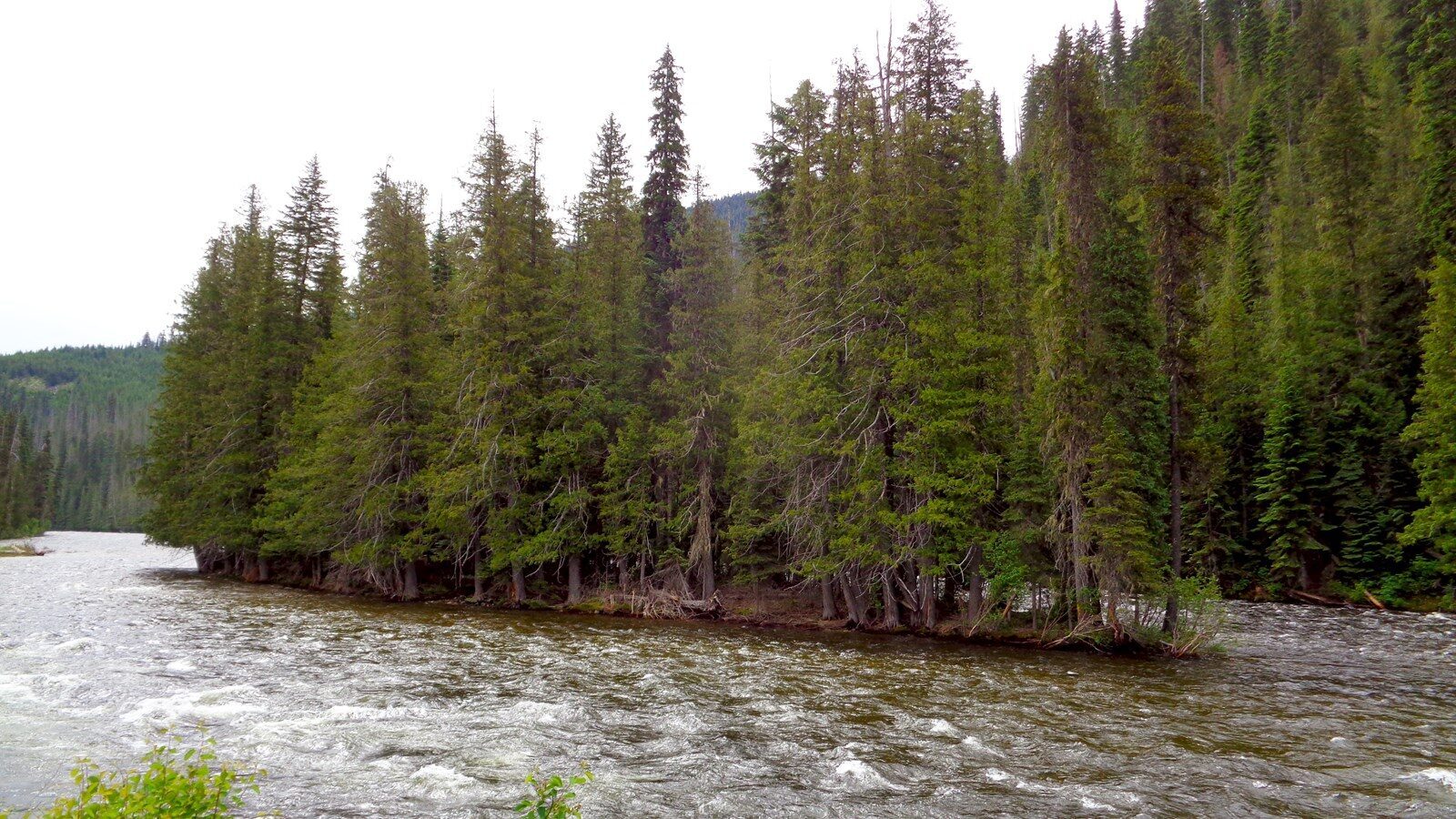
Described by visitors as a spiritual place that deserves special recognition, Devoto Grove Picnic Area & Trailhead is an accessible interpretive trail that serves as a memorial to Bernard DeVoto who was the conservationist and historian of the American west. He camped here while working on his editing of The Journals of Lewis and Clark which was published in 1953. His visits to the grove served as an inspiration for his writing project, making such an impression on him that he asked for his ashes to be scattered amid the trees. Located on the Idaho-Montana border, the site offers visitors 2 loops through stands of western red cedar trees, with some of them being up to even 2000 years old! You can find short hiking trails on both sides, with the trail to the west side along the Lochsa River being handicap/wheelchair accessible. There are also picnic tables available, which is a perfect addition to this pristine area, allowing for moments of rest.
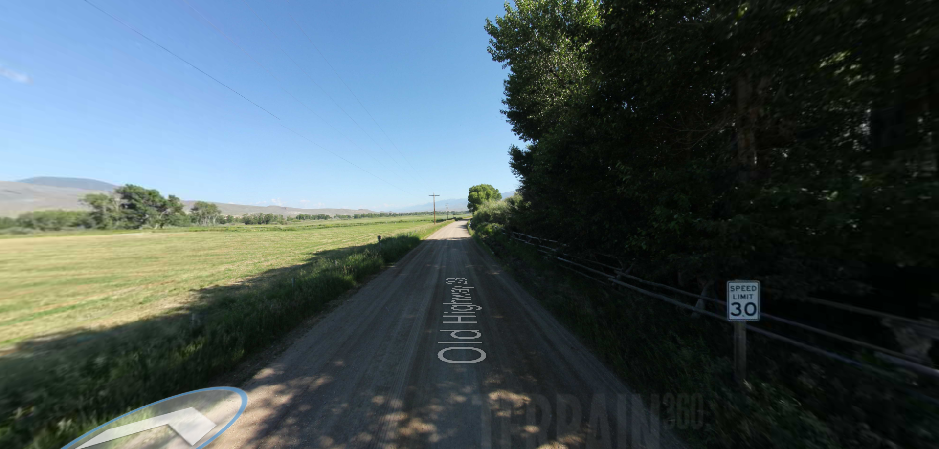
To get there, leave Lolo Montana on Highway 12 heading west until you drive 9 miles into Idaho to the DeVoto Memorial Cedar Grove. There is parking available on both sides of Highway 12.
Distance Unit:
Distance Unit:
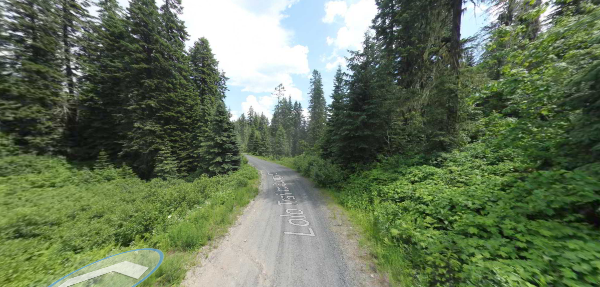
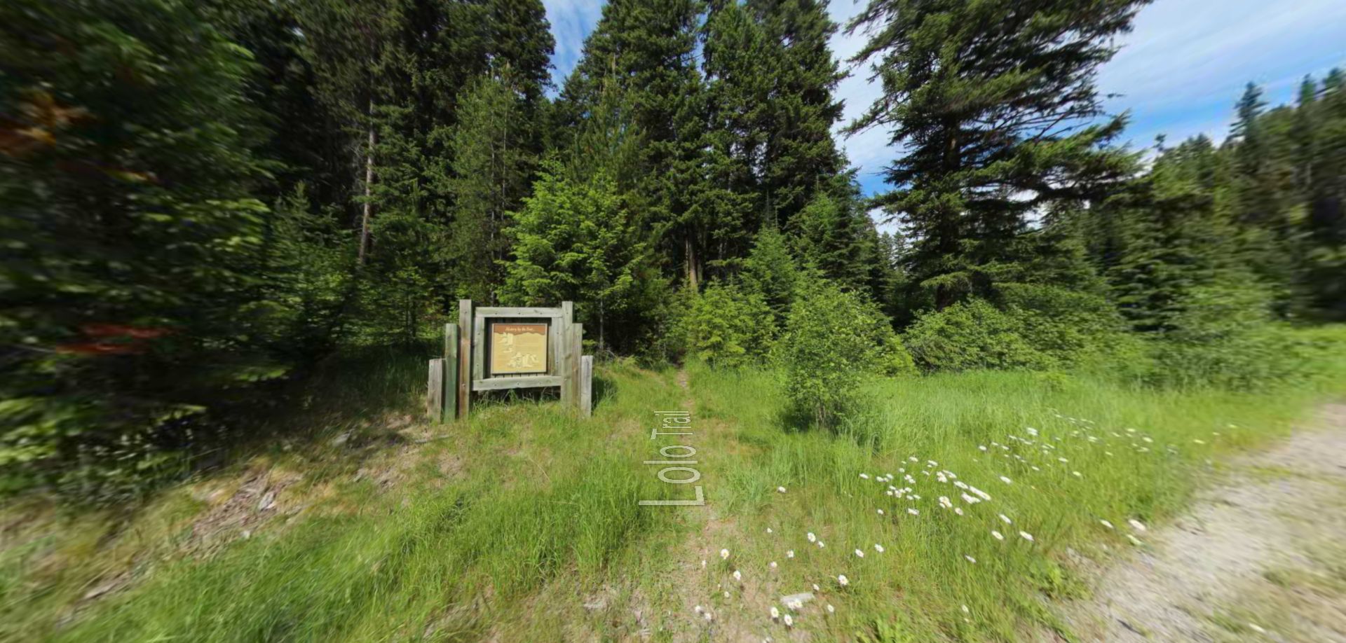
Embark on a historic trail dating back to August 9, 1805, when Lewis, accompanied by a scouting party, ventured away from the main group. Their mission: to discover a portage and establish contact with the…
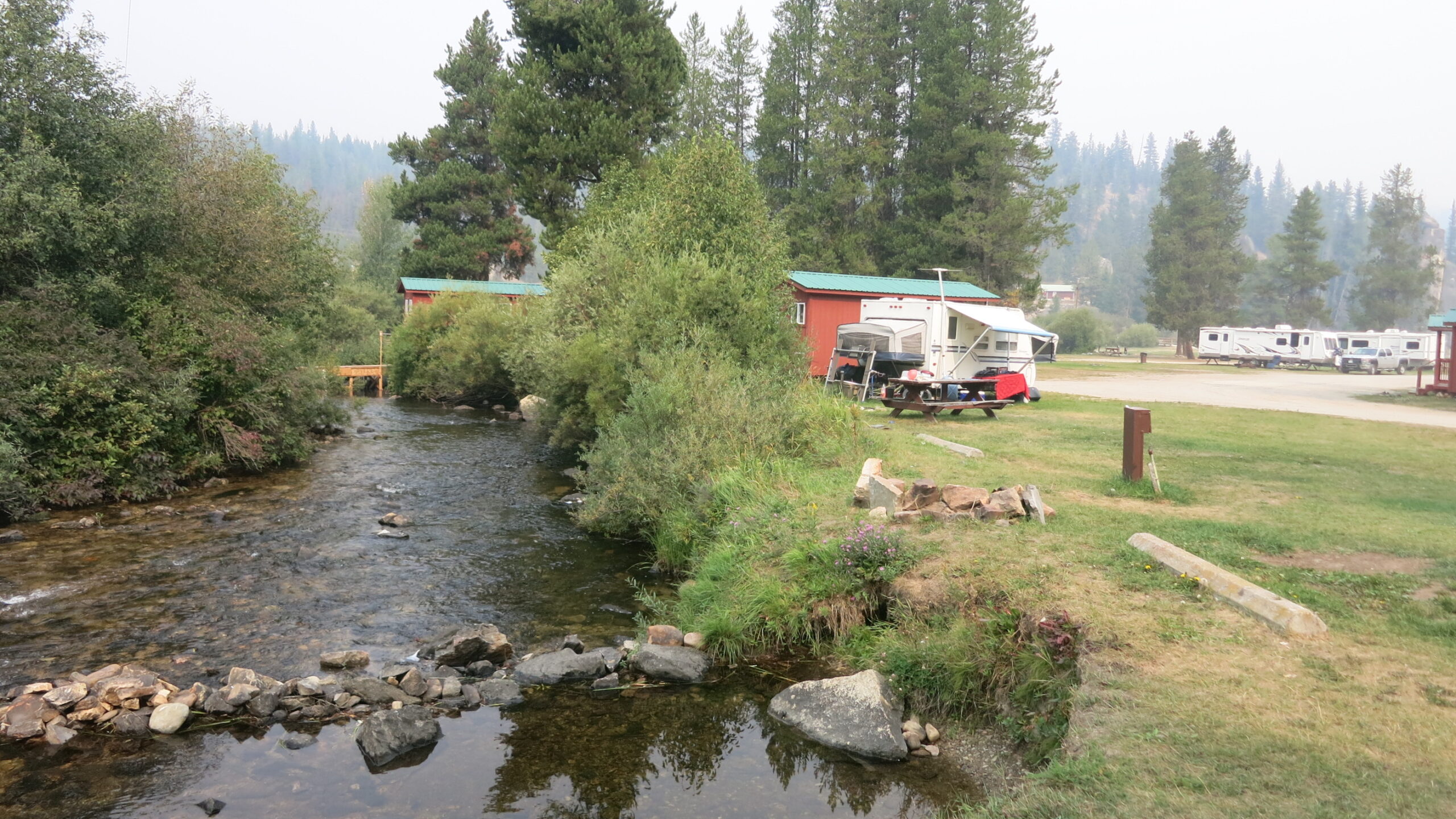
Tucked 35 miles northeast of Pierce, just off Forest Service Road 250, Weitas Campground offers a tranquil escape on the shaded banks of Weitas Creek near the North Fork of the Clearwater River. Accessible via…