Crooked River Conservation Area
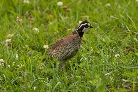
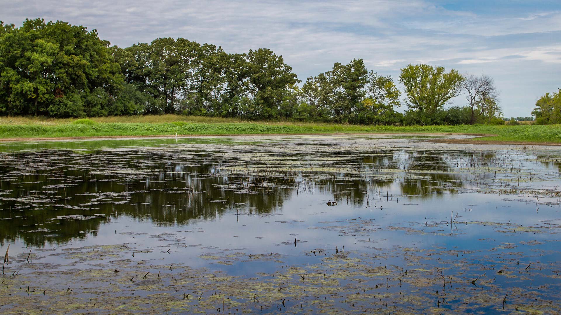
Less than an hour outside of Kansas City, MO, the Crooked River Conservation Area is a beautiful natural area to see a variety of ecosystems. Resting on 1400 acres, the area consists of forests and ponds, hosting a diverse range of species. With a great network of trails, the Crooked River Conservation Area is great for hikes and walks.
There are also individual camp sites available. Please visit their website for more information regarding campsite reservation. Additionally, seasonal hunting is available but please see the website for the full list of regulations.
Distance Unit:
Distance Unit:

A breathtaking viewpoint overlooking the Trail of Tears State Park. Car access is available

Here, nine Cherokee Indian groups braved harsh winter conditions while crossing the Mississippi River in 1838-1839, marking a sorrowful chapter in American history. The park also has: shaded picnic sites, hiking and horse trails, opportunities to fish…


The path taken by Chief John Ross on his way to Cairo. (https://www.hmdb.org/m.asp?m=161480)


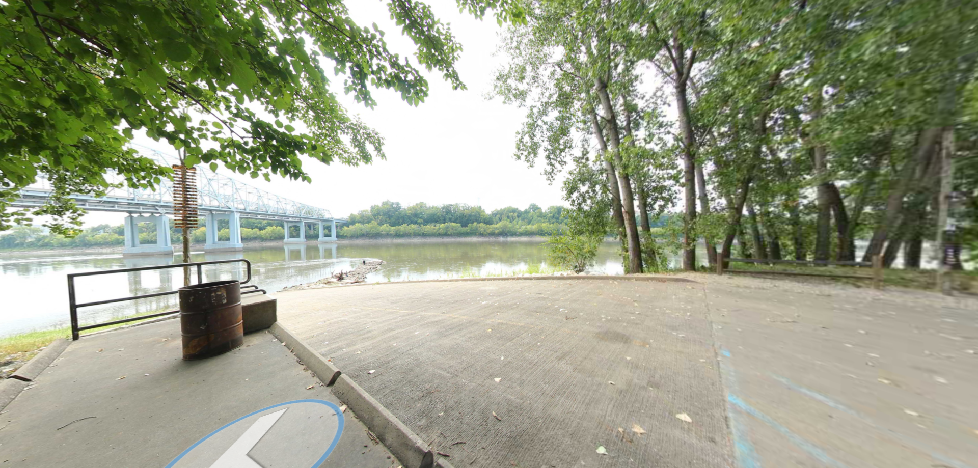


A boat ramp that allows visitors to access the Trail of Tears