Columbus-Belmont State Park
Columbus-Belmont State Park is a 160-acre recreation park and historic site. It is on the National Register of Historic Places and on the Kentucky Civil War Heritage Trail. Columbus-Belmont is a Kentucky Interpretative Center on the Great River Road and a National Scenic Byway. It is also a National Parks Service Trail of Tears Water and Land Route site. There are interpretive signs throughout the park with details and history.
History:
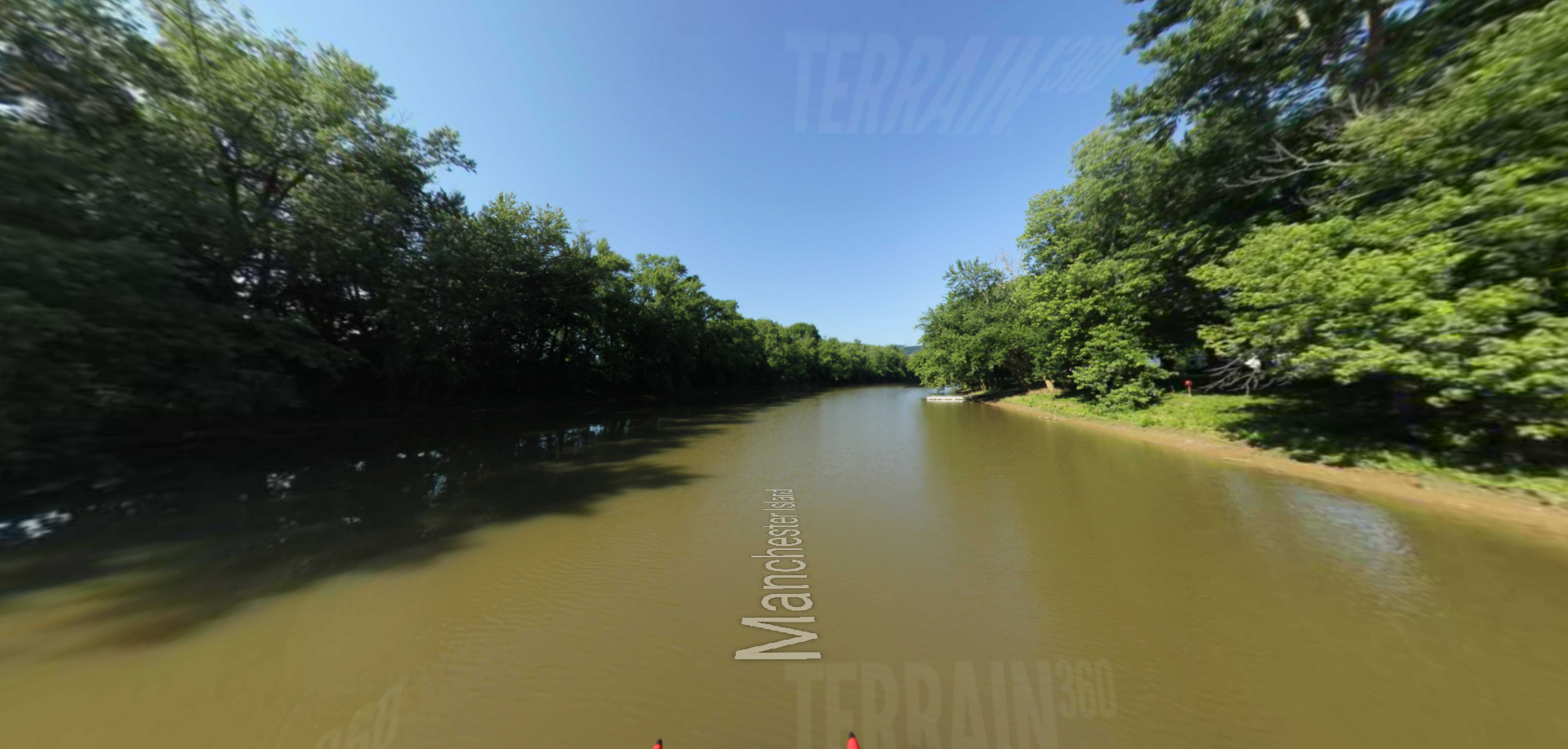
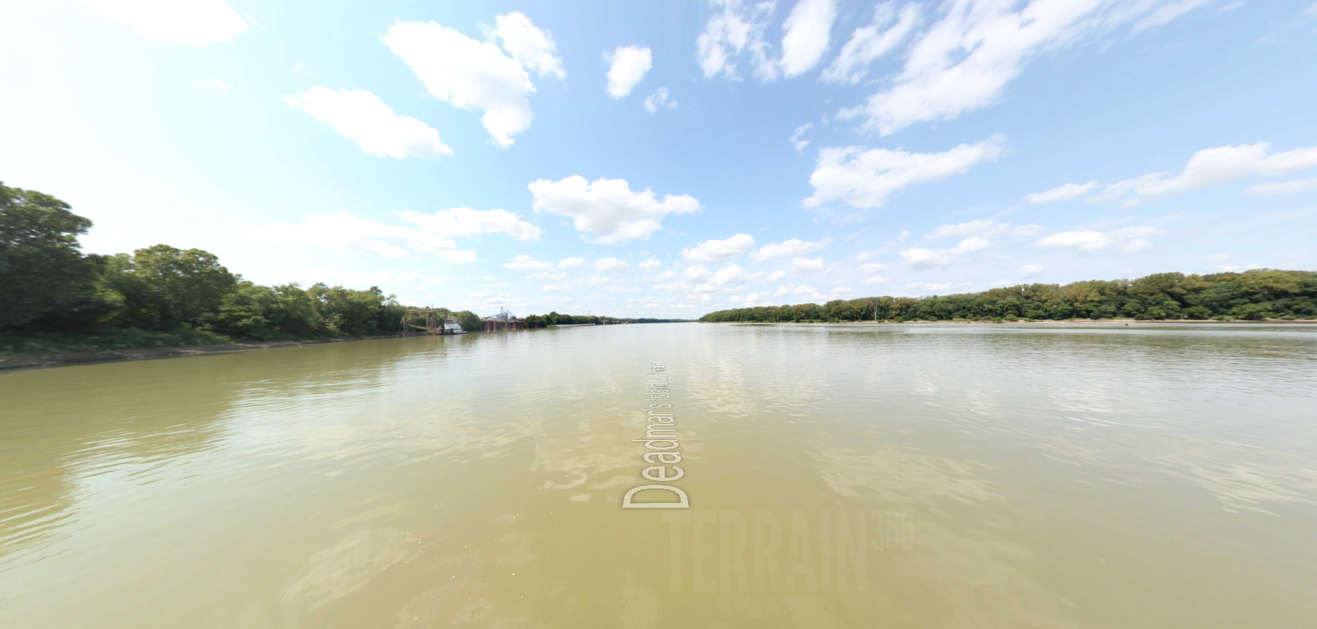
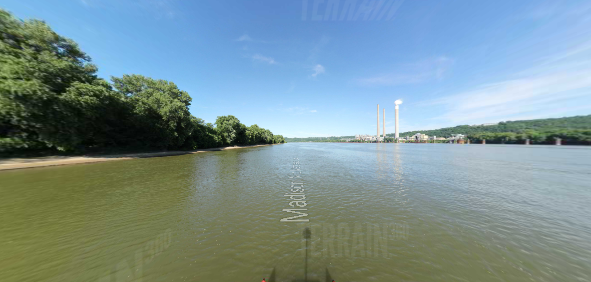
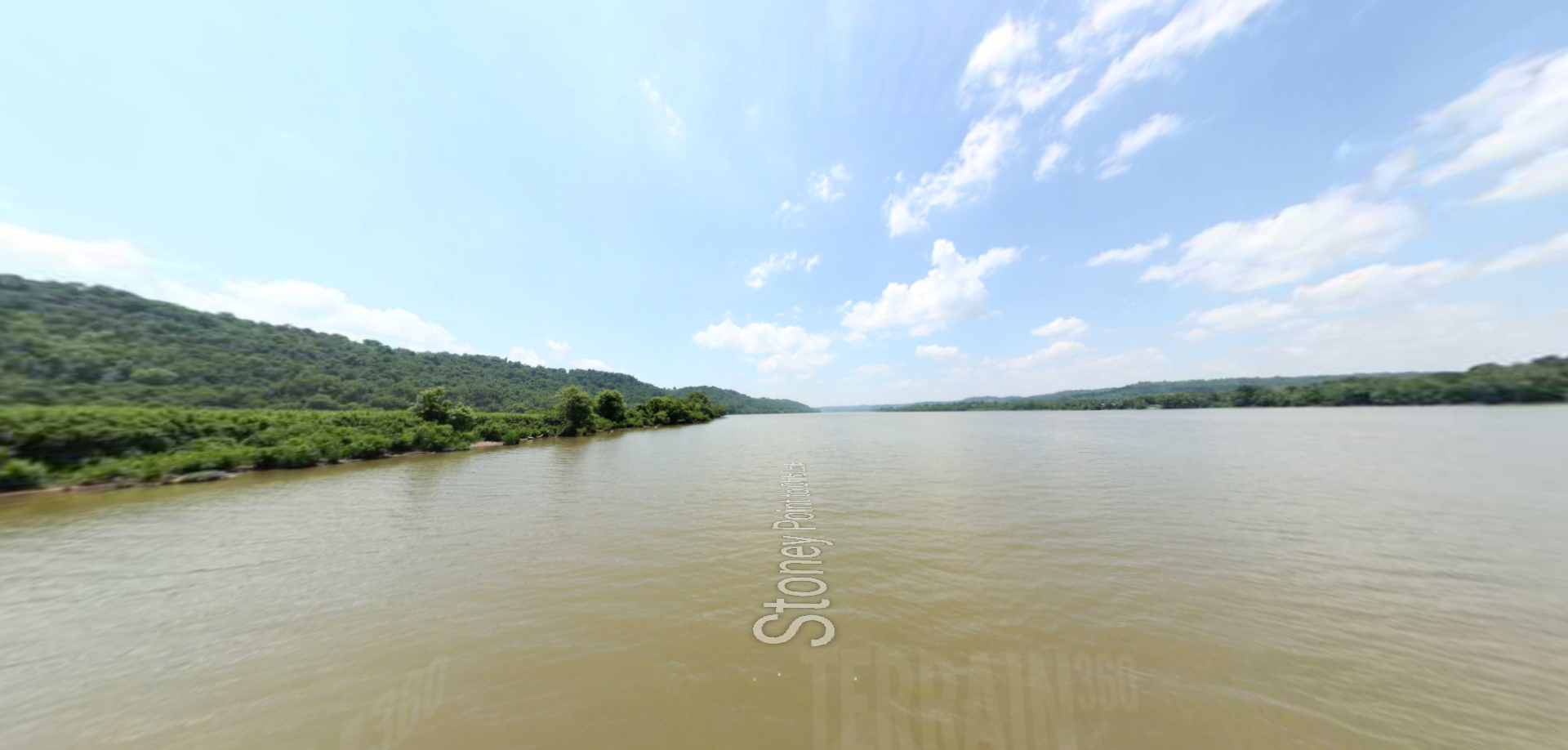
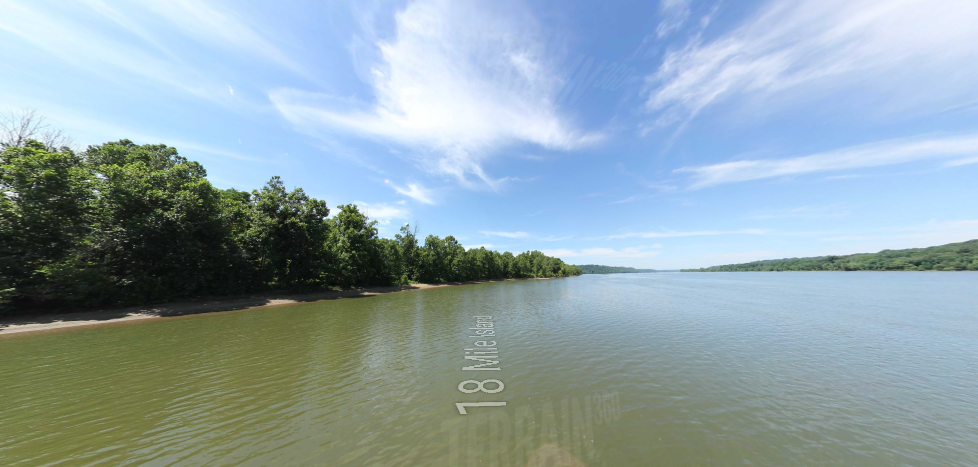
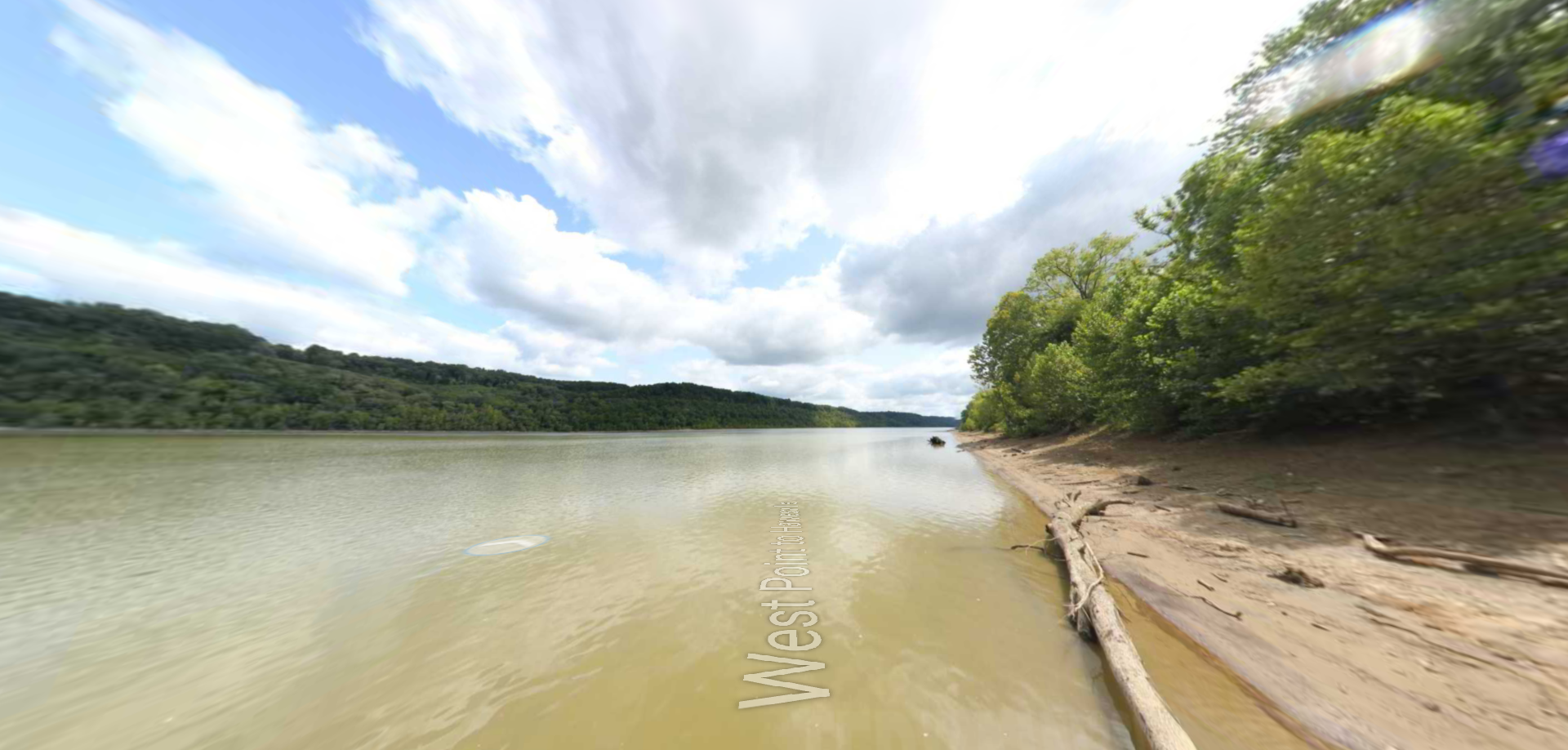
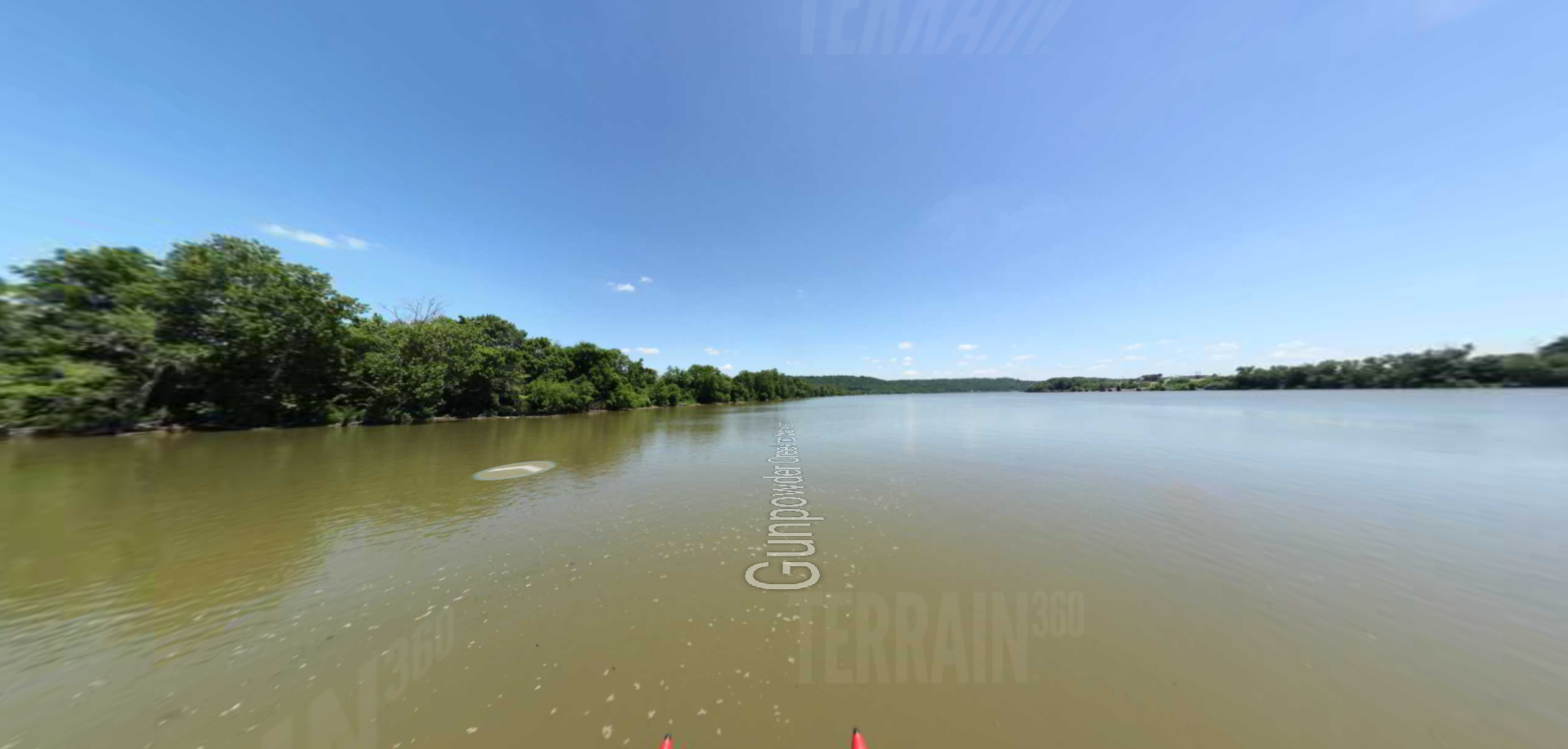
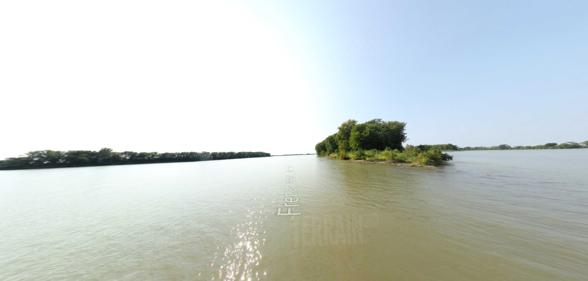
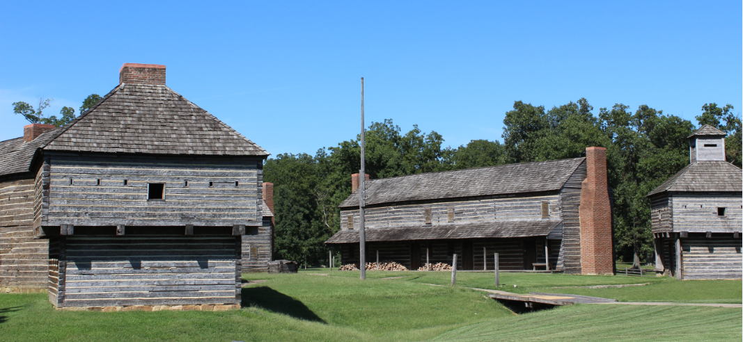
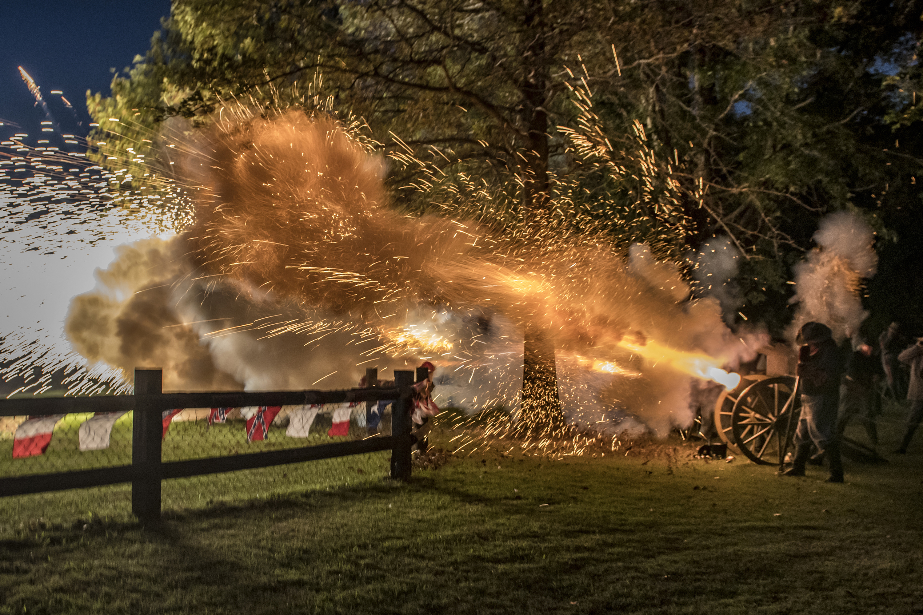
Civil War –In 1860, Columbus, KY was a busy Mississippi River port of 1000 people and the northern terminus of the Mobile & Ohio Railroad. Columbus sat on a plain in front of a semicircular chain of 180’ tall bluffs that provided a strategic location for control of the river. In September 1861, Confederate General Leonidas Polk ordered the occupation of Columbus. Polk dug massive earthworks and miles of trenches. He named the fortification Fort DeRussy. Polk had more than 17,000 soldiers, 90 large cannon, 50 smaller field cannon, and dozens of electrically fired land mines buried around Columbus. River mines were placed in front of a mile long chain of twenty-pound links, supported by pontoons that stretched across the river from Belmont to a six-ton sea anchor buried inside Fort DeRussy. The Confederates proudly called Columbus the “Gibraltar of the West. Because of its’ massive defenses, Columbus was never directly challenged but on November 7, 1861 Union General Ulysses S. Grant fought his first Civil War battle when he raided the small CSA camp at Belmont, Missouri located directly across the river from Columbus. Both sides claimed victory with approximately 500 on each side dead or wounded. In February 1862, Grant went around Columbus by capturing the much weaker Forts Henry and Donelson on the Tennessee and Cumberland Rivers. Outflanked and useless, Columbus was abandoned by Polk in March 1862. The fort was immediately occupied by the Union Army & Navy and became a very important military river and railroad supply depot for the rest of the war. Fort DeRussy would be renamed Fort Halleck and be eventually garrisoned by 1000 former slaves of the 4th U. S. Colored Heavy Artillery Regiment. Columbus became a major refugee center for runaway slaves and a major recruiting center for black soldiers.
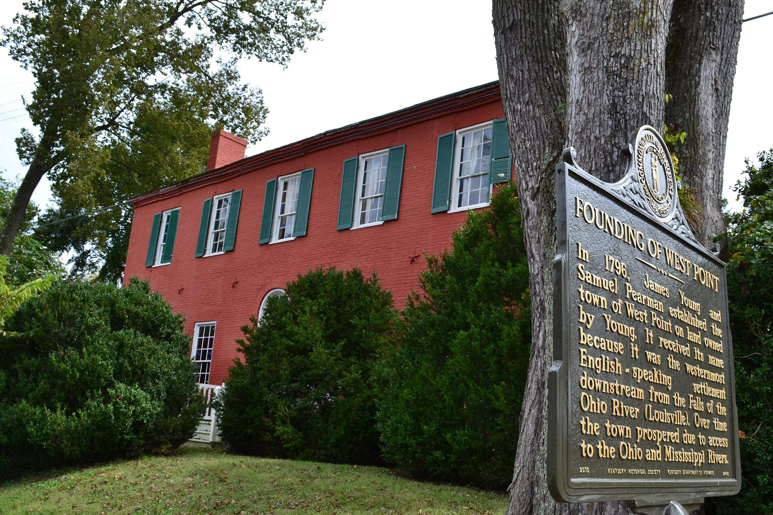
The Town-The Civil War left Columbus devastated. Many buildings were ruined, the local people impoverished, and the Mobile & Ohio Railroad wrecked. Recovery came after the Mobile & Ohio Railroad was repaired and the Saint Louis & Iron Mountain Railroad came to Belmont, Missouri. A steamboat ferry at Columbus carried the railroad cars across the river. Swelling to about 2000 people, Columbus now became a busy and prosperous transfer point for passengers and freight. The river and the railroads had given birth to Columbus and both combined to destroy it. In 1881, the M & O bypassed Columbus. In 1911, the Saint Louis & Iron Mountain discontinued service to Belmont. Columbus lost all economic reason for existing. In 1918, the Mississippi River began to eat away at Columbus. In 1927, the second of two record floods finally washed away the riverbank. The American Red Cross moved 500 people and 166 buildings to a new Columbus City on top of the bluffs. The river continued to move eastward and covered the site of the old city.
Civil War Heritage Trail – Columbus-Belmont is one of many Civil War Heritage Trail sites throughout Kentucky. This site is noted for breaking KY’s neutrality and being the most heavily fortified Confederate site on the Mississippi River. The Battle of Columbus-Belmont was Union General Ulysses S Grant’s first battle.
C.C.C.-The Civilian Conservation Corps built Columbus-Belmont State Park during the 1930s. Two shelters, a restroom, a lookout house, and log cabin are still in use by park today.
National Trail of Tears Site-Under the Indian Removal Act in 1838, The Benge detachment of Native Americans made its way through west Kentucky and camped several days in Columbus while horses, wagons, and people were ferried across the river. The camps are believed to have been located in park campground area.
Great River Road Interpretive Center & National Scenic Byway-
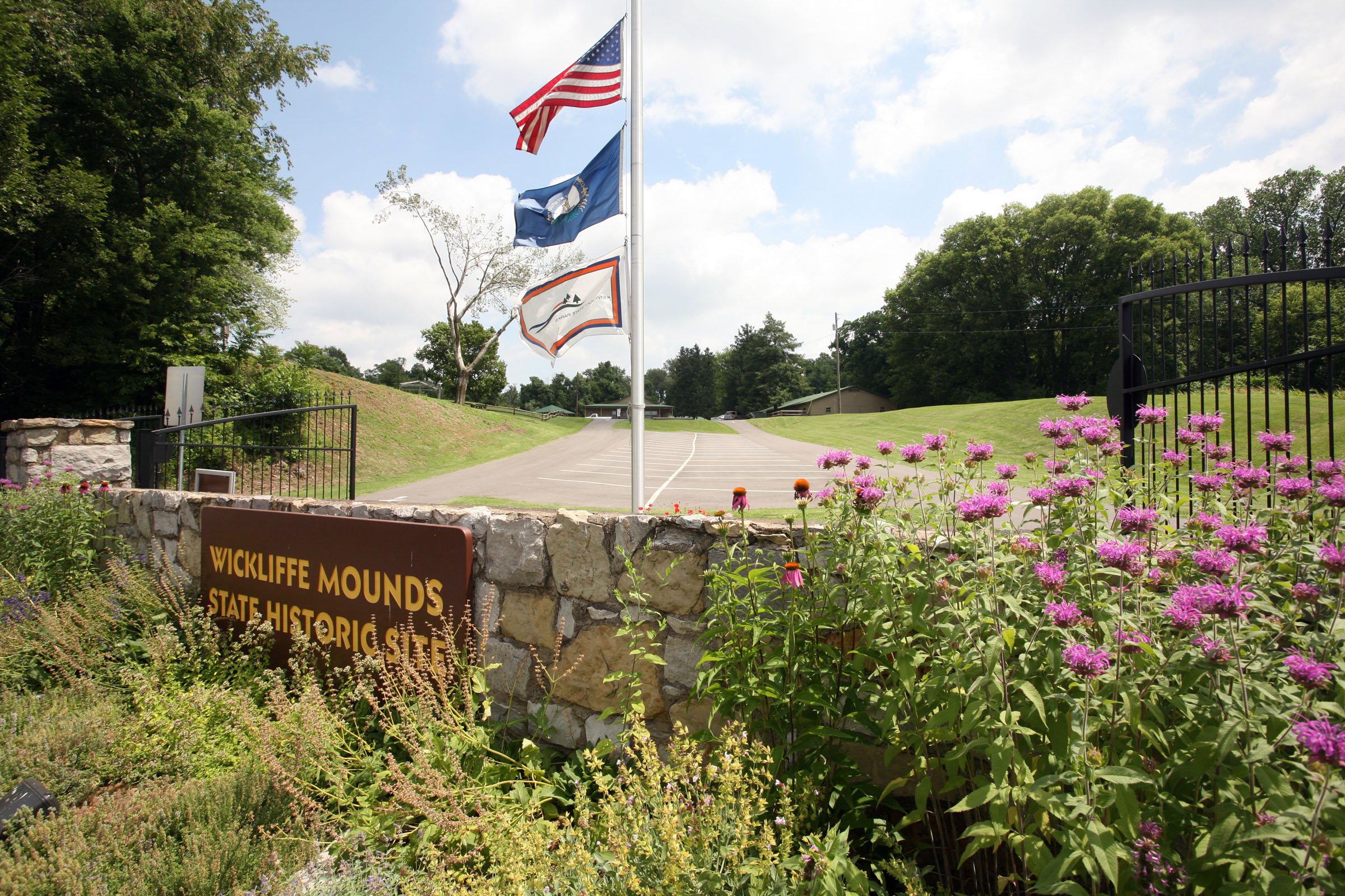
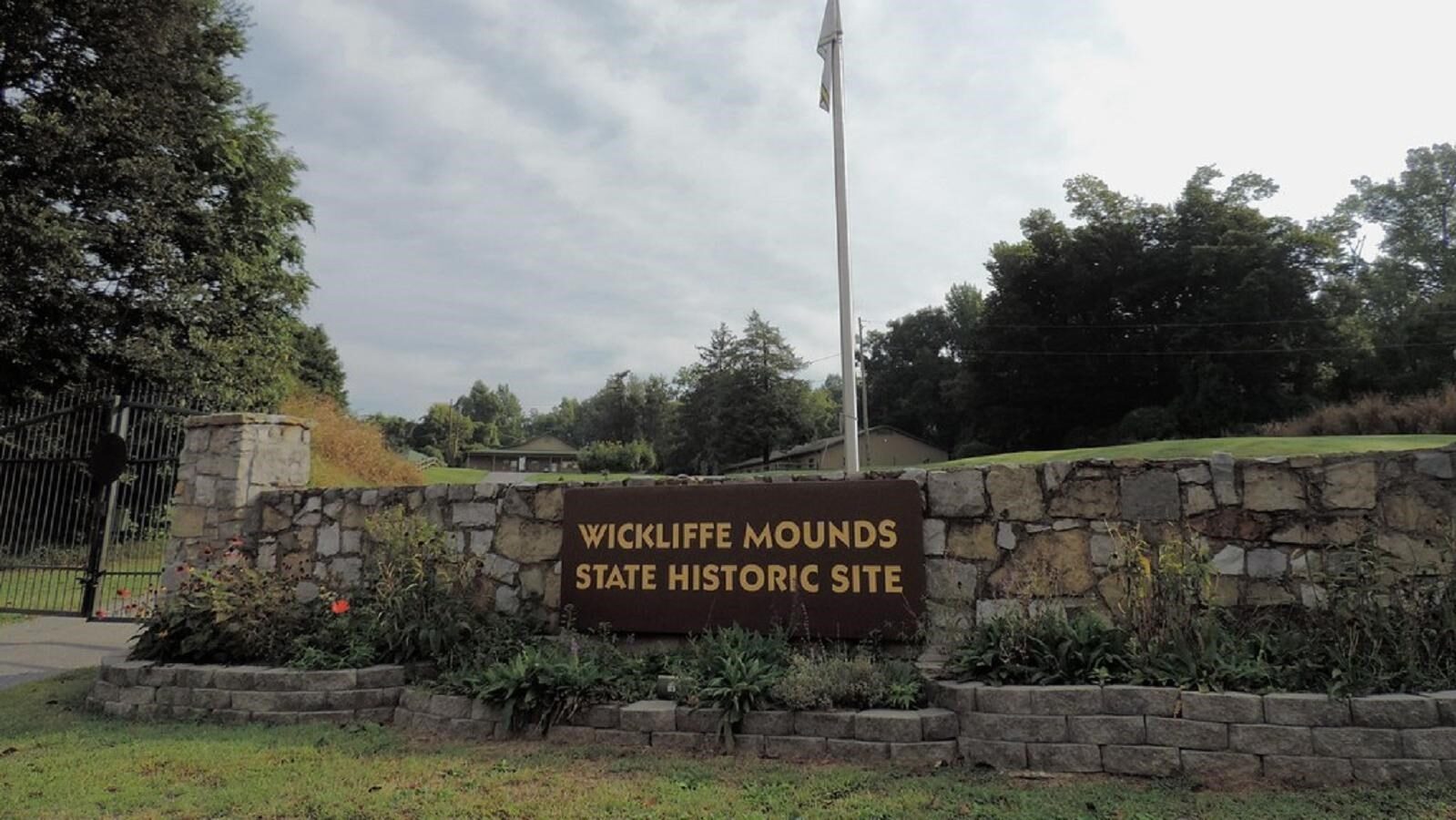
Columbus-Belmont is one of two Kentucky Interpretive Centers for the Great River Road, the other is Wickliffe Mounds State Historic Site, just 20 miles from here.
Facilities:
Distance Unit:
Distance Unit: