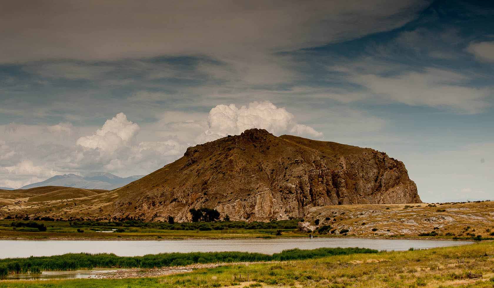
Clark’s Lookout State Park
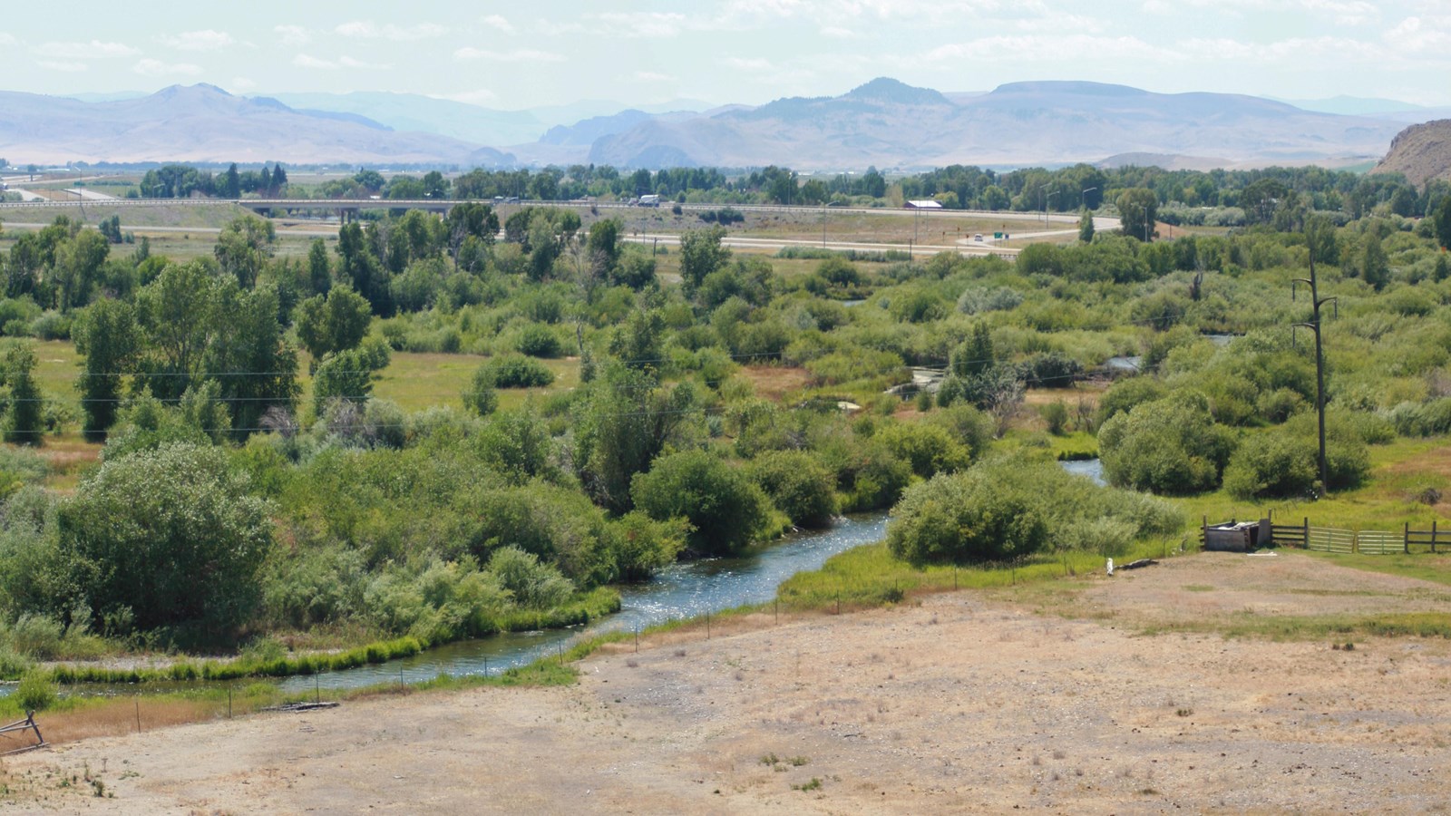
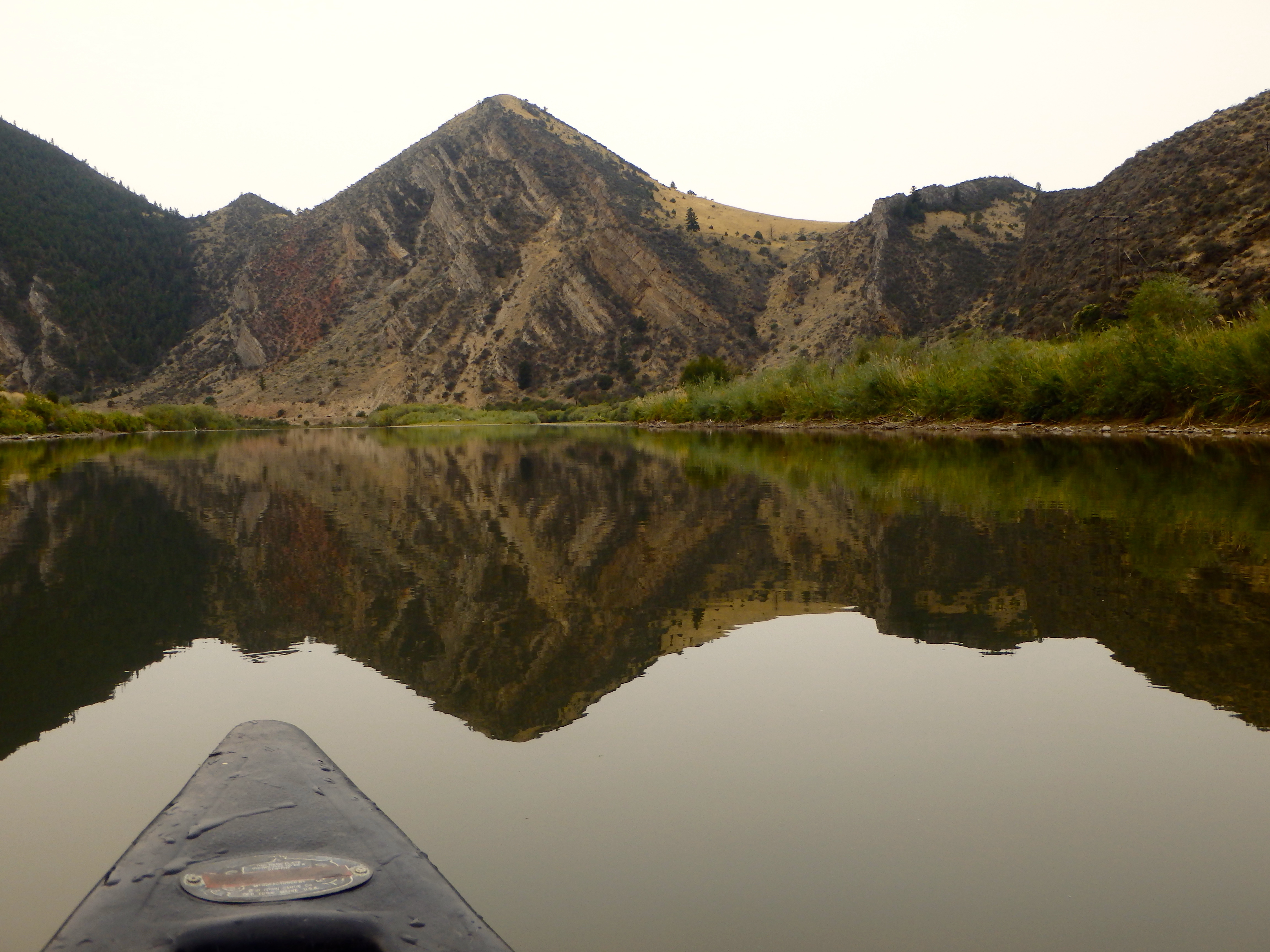
Clark’s Lookout State Park is located above the Beaverhead River. It is a place that provided the Lewis and Clark Expedition with a view of the route ahead. On August 13, 1805, Captain William Clark climbed this hill overlooking the Beaverhead River to get a sense of his surroundings and document the location.
It is situated on 8.2 acres of land at 5,118 feet.
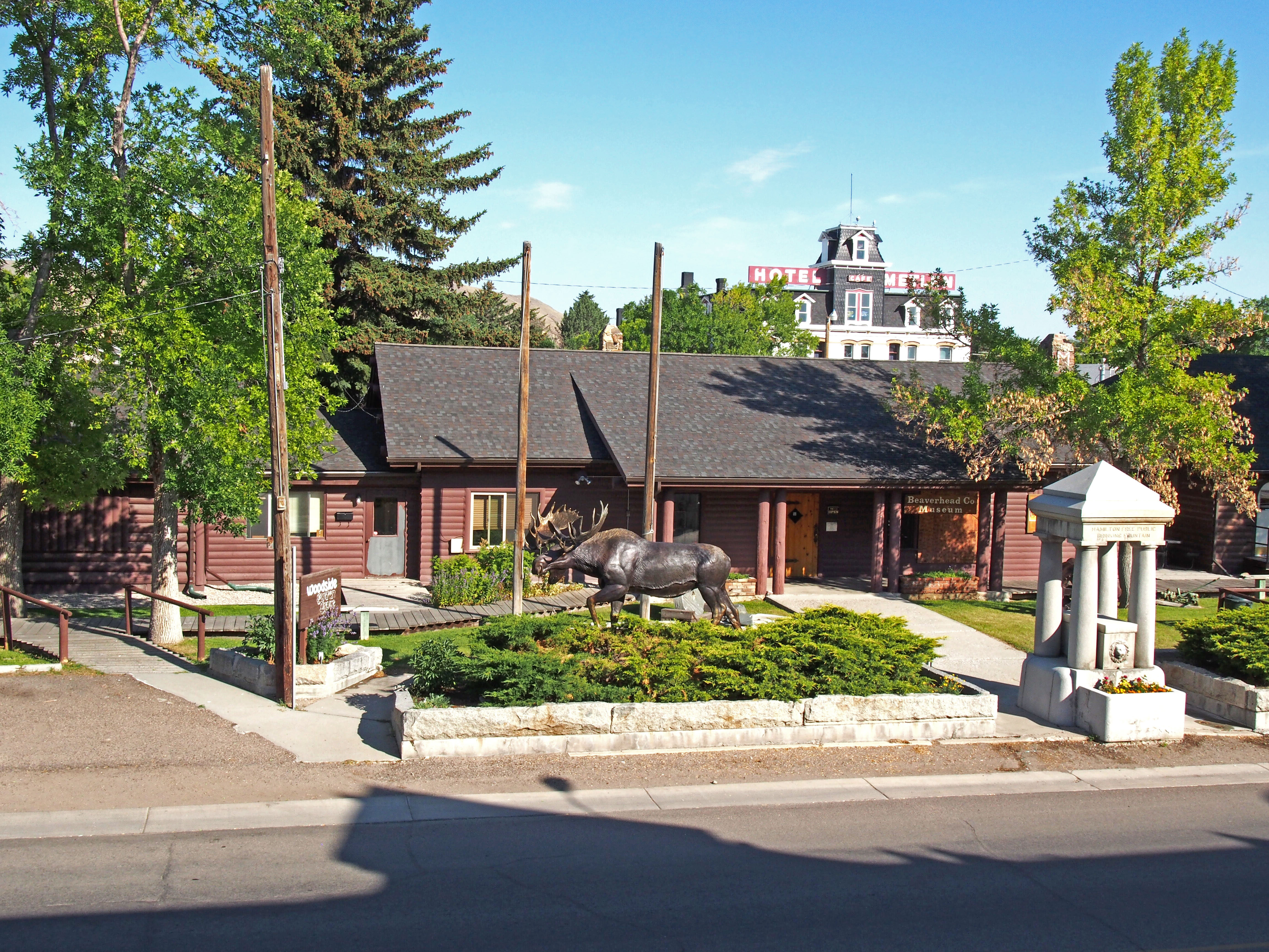
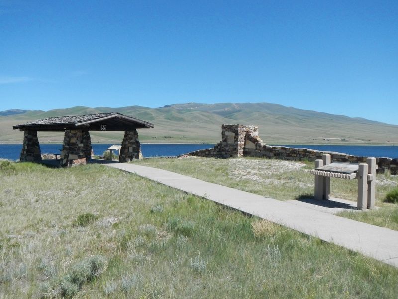
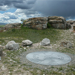
Clark’s Lookout State Park is located just one mile north of Dillon off Highway 91. Near the paved parking lot, interpretive signs explain navigational methods used by the expedition. Make the short walk to the top of the lookout and you’ll discover a magnificent view of the Beaverhead Valley and a monument showing the three compass readings that Captain Clark took on that day.
Distance Unit:
Distance Unit: