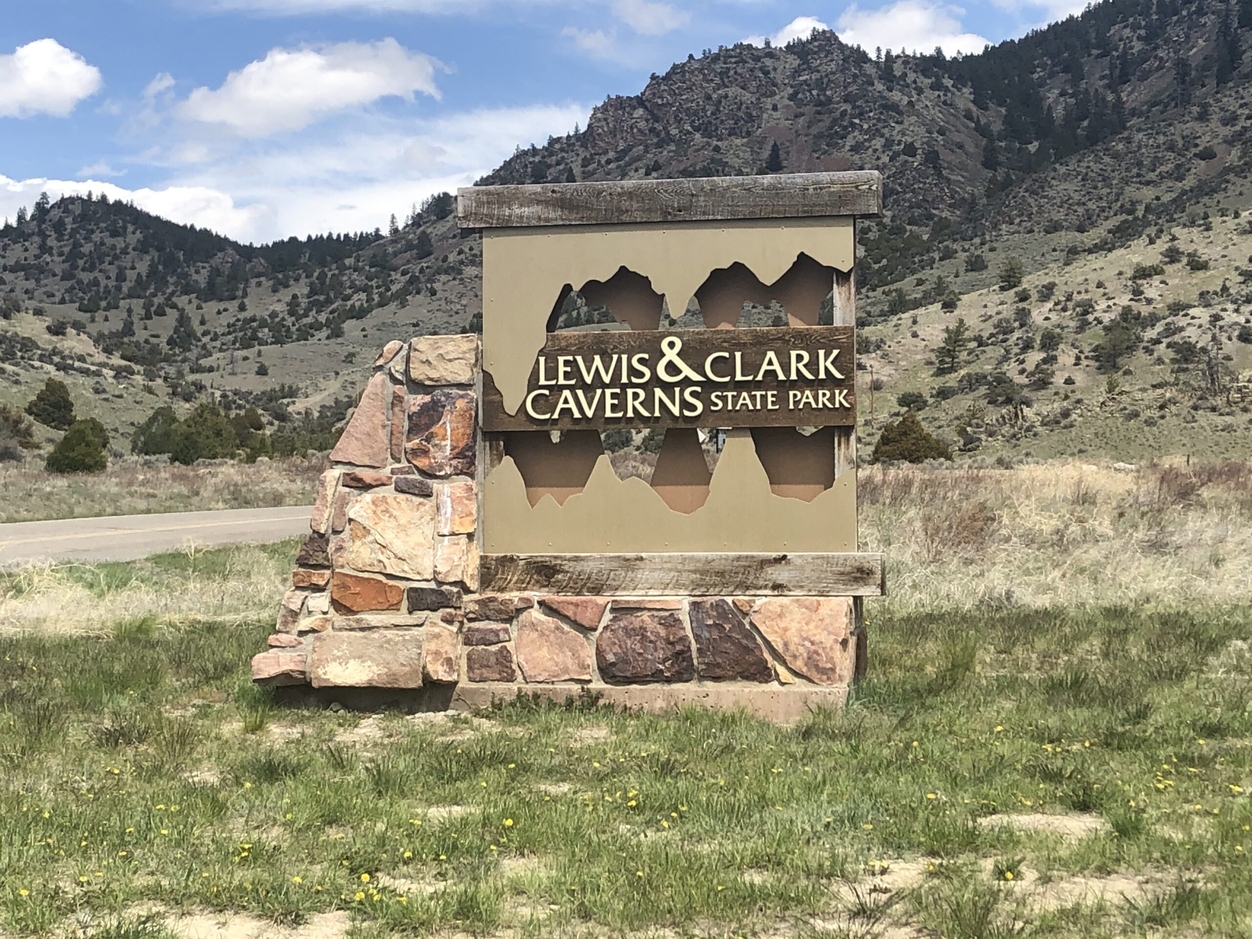
Civilian Conservation Corps Historic Development of Lewis & Clark Caverns State Park
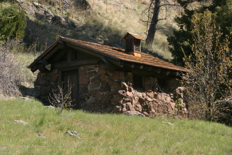
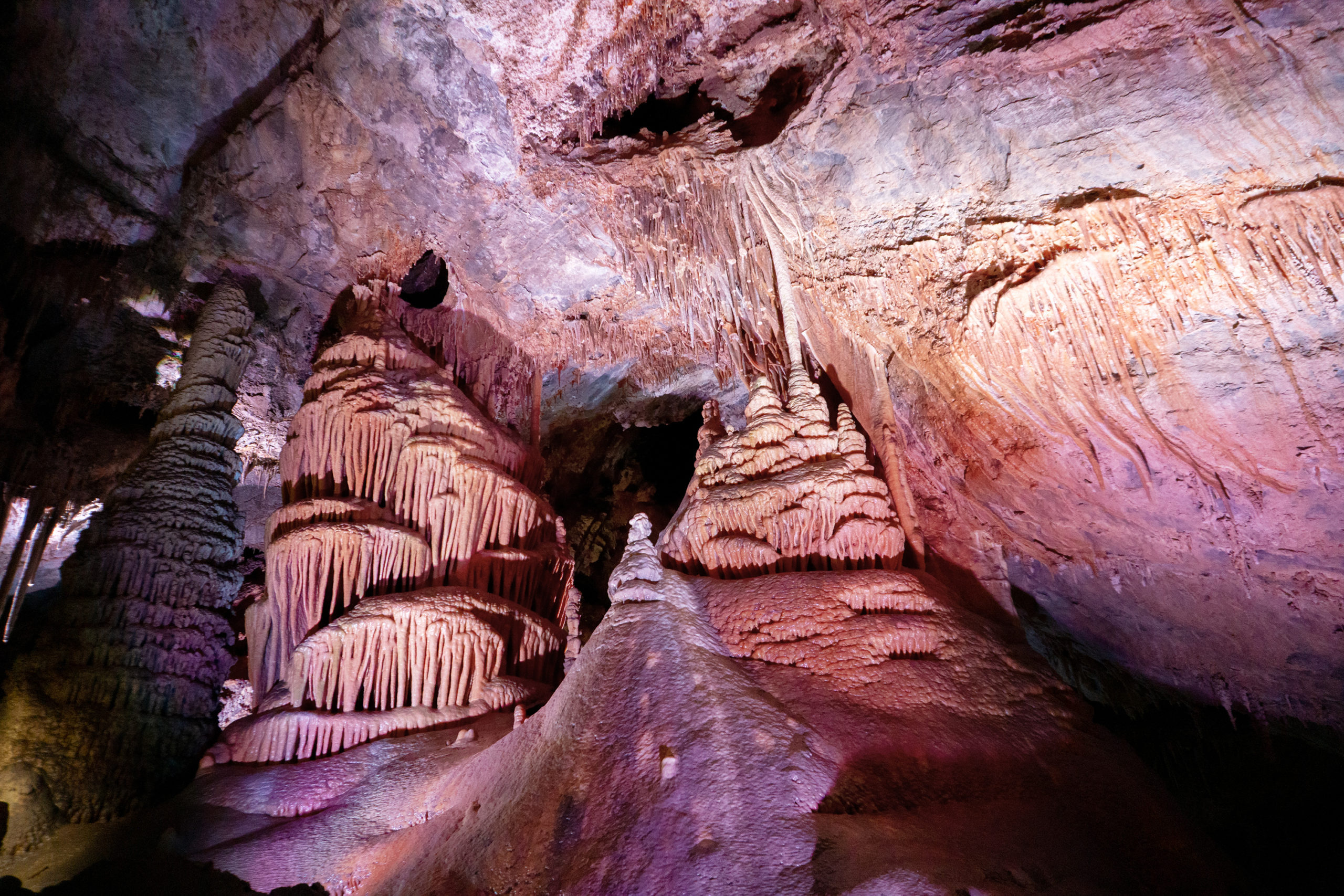
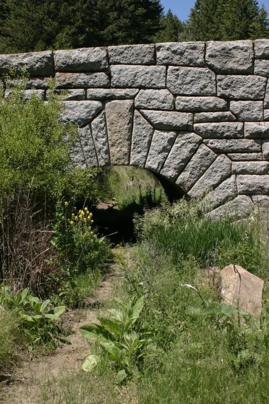
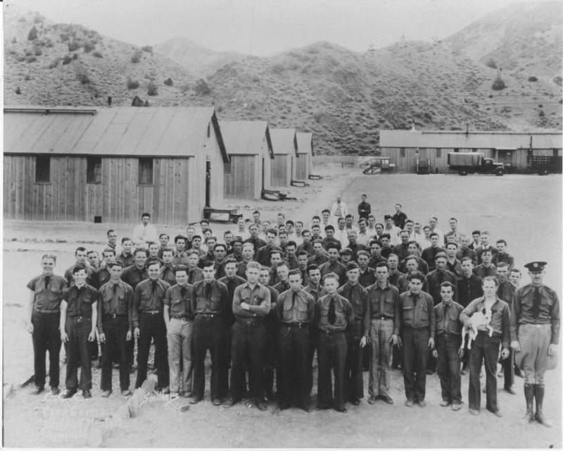
During the late 1930s the Civilian Conservation Corps worked 5 years to develop Montana’s first state park, Lewis & Clark Caverns. Starting with the first ever building in the system (a rock latrine which still stands at the Upper Picnic Area), the CCC built the 3 mile road to include a Granite Keystone Bridge, the Cave Visitor Center, the trails to and from the cave as well as the basics for today’s caverns tours. An 538′ long exit tunnel was blasted in 1938 to make the tour a one-way route that would include the CCC-discoveredd, largest room they named Paradise.
This park CCC District is currently being nominated for the National Register of Historic Places.
Distance Unit:
Distance Unit:


A trail starting at Hauser Dam and overlooking the Missouri River.