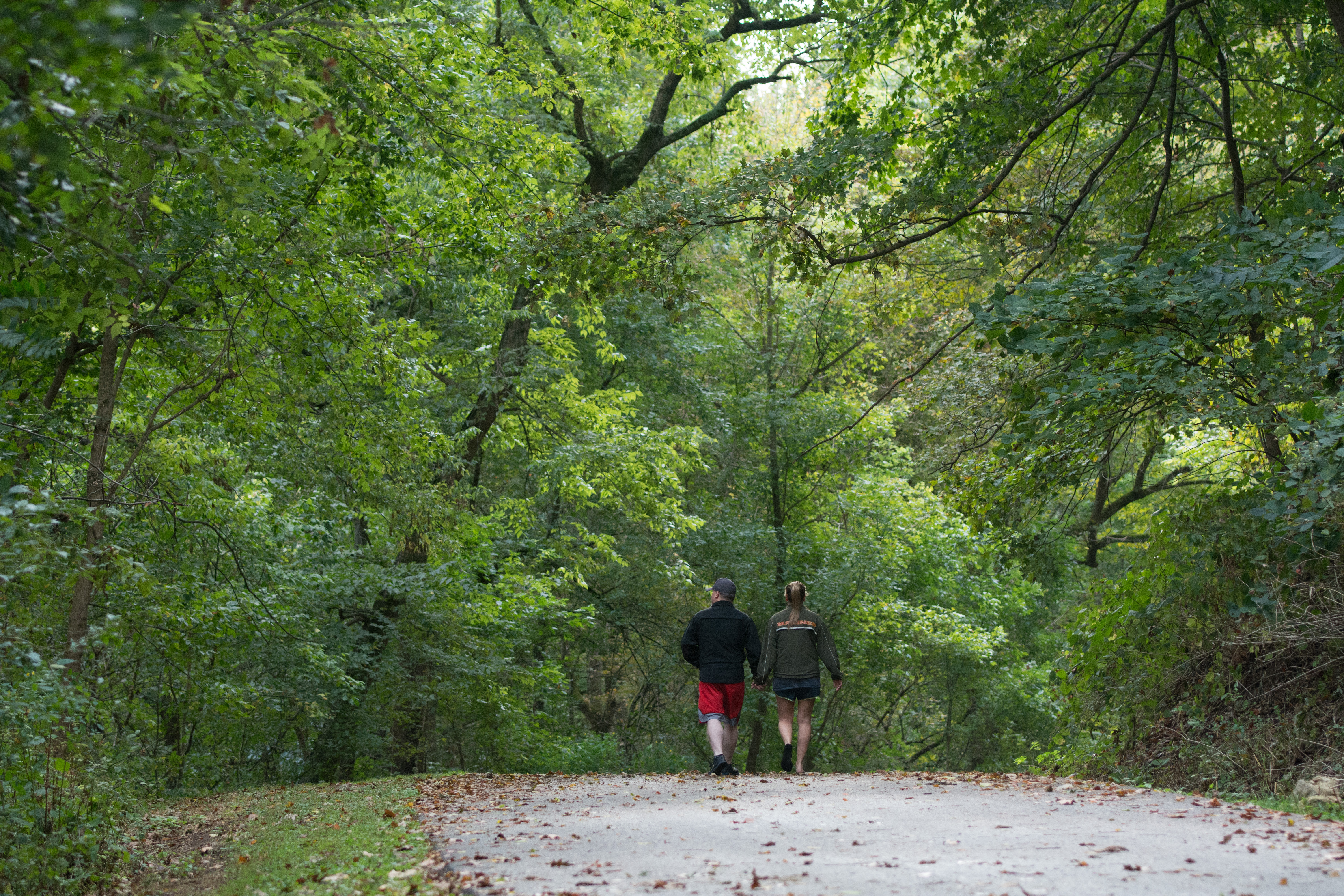
Buttermilk Falls Hiking and Biking Trail
The trail was initially developed in 1996 by turning 2.5 miles of county road into a trail that connects Riverfront Park, on the banks of the Ohio River in Brandenburg east to Kentucky State Route 933. This riverside trail winds through the wooded, scenic area along Flippins Run Creek.
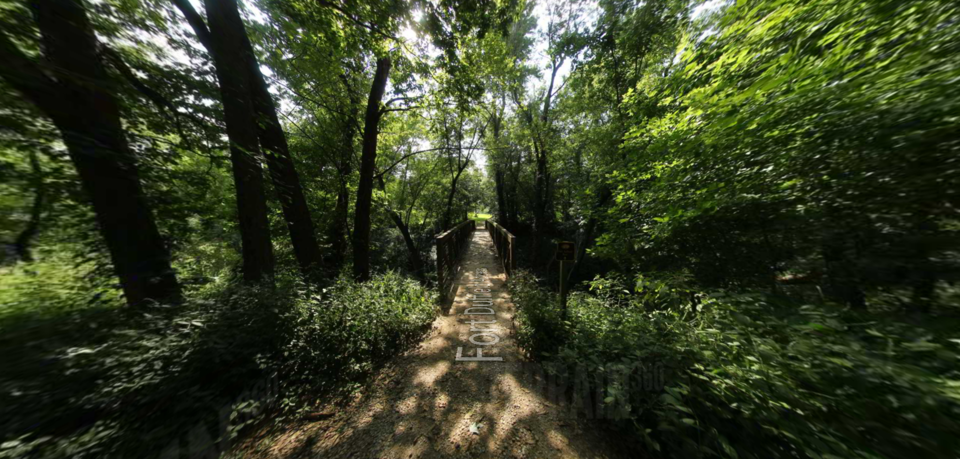
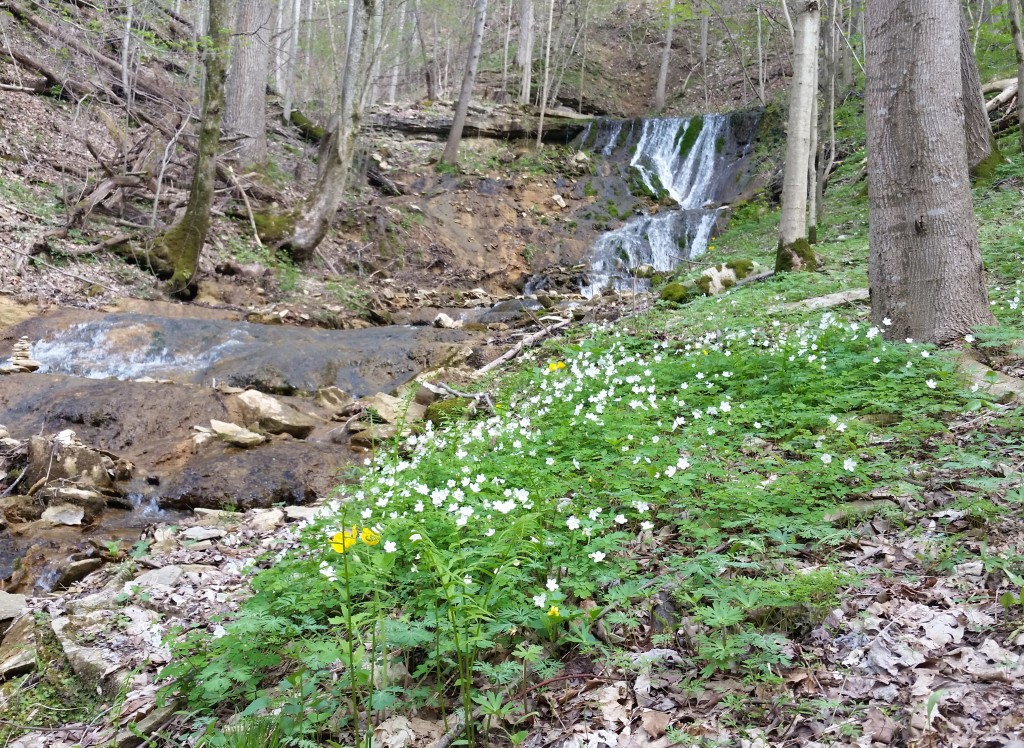
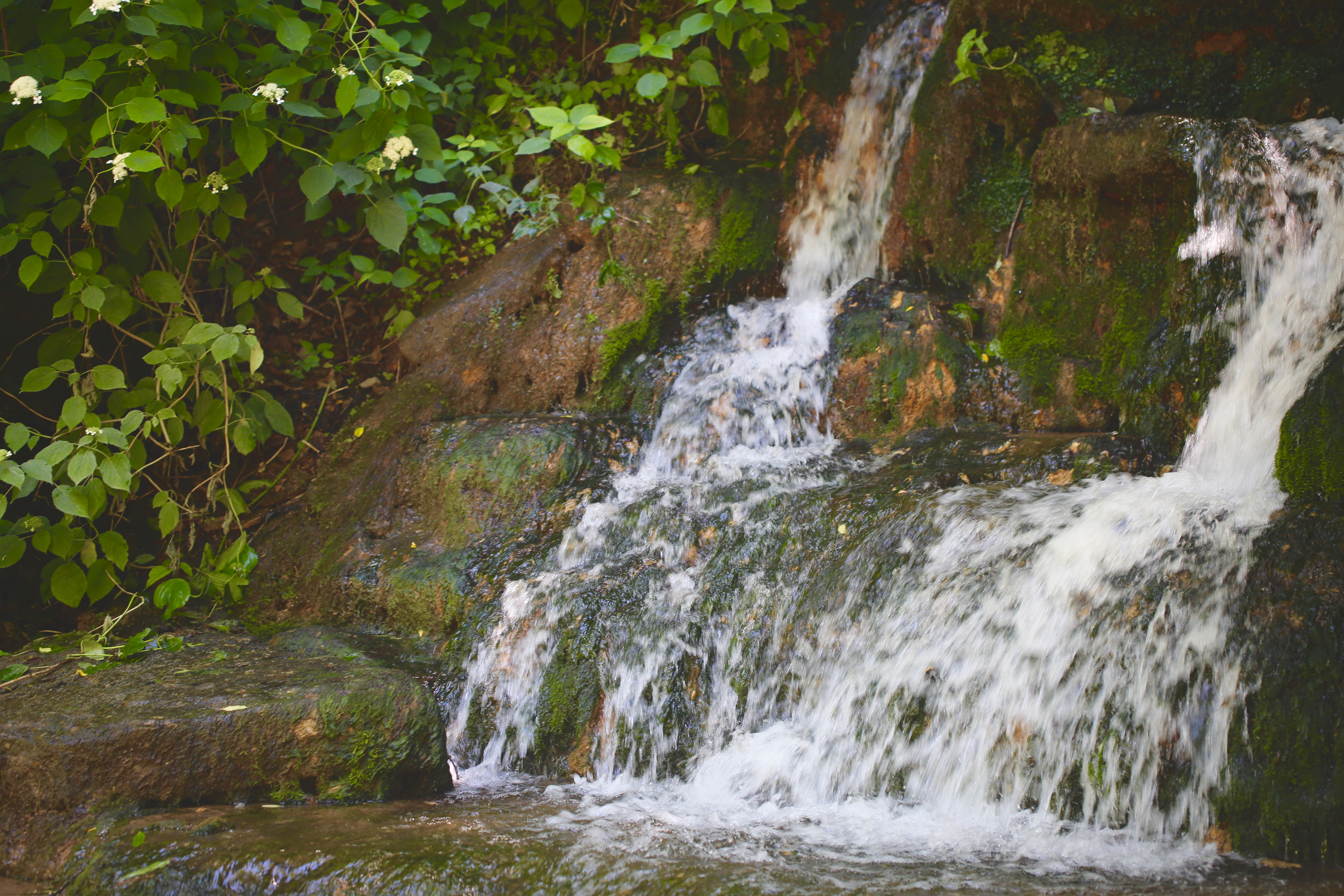
The Buttermilk Falls Trail (2.5 miles) includes a wooden footbridge over one of the many streams and passes Buttermilk Falls. These falls are formed from a series of hillside springs that run throughout the year. This spring system once supplied water to many of Meade County’s residents.
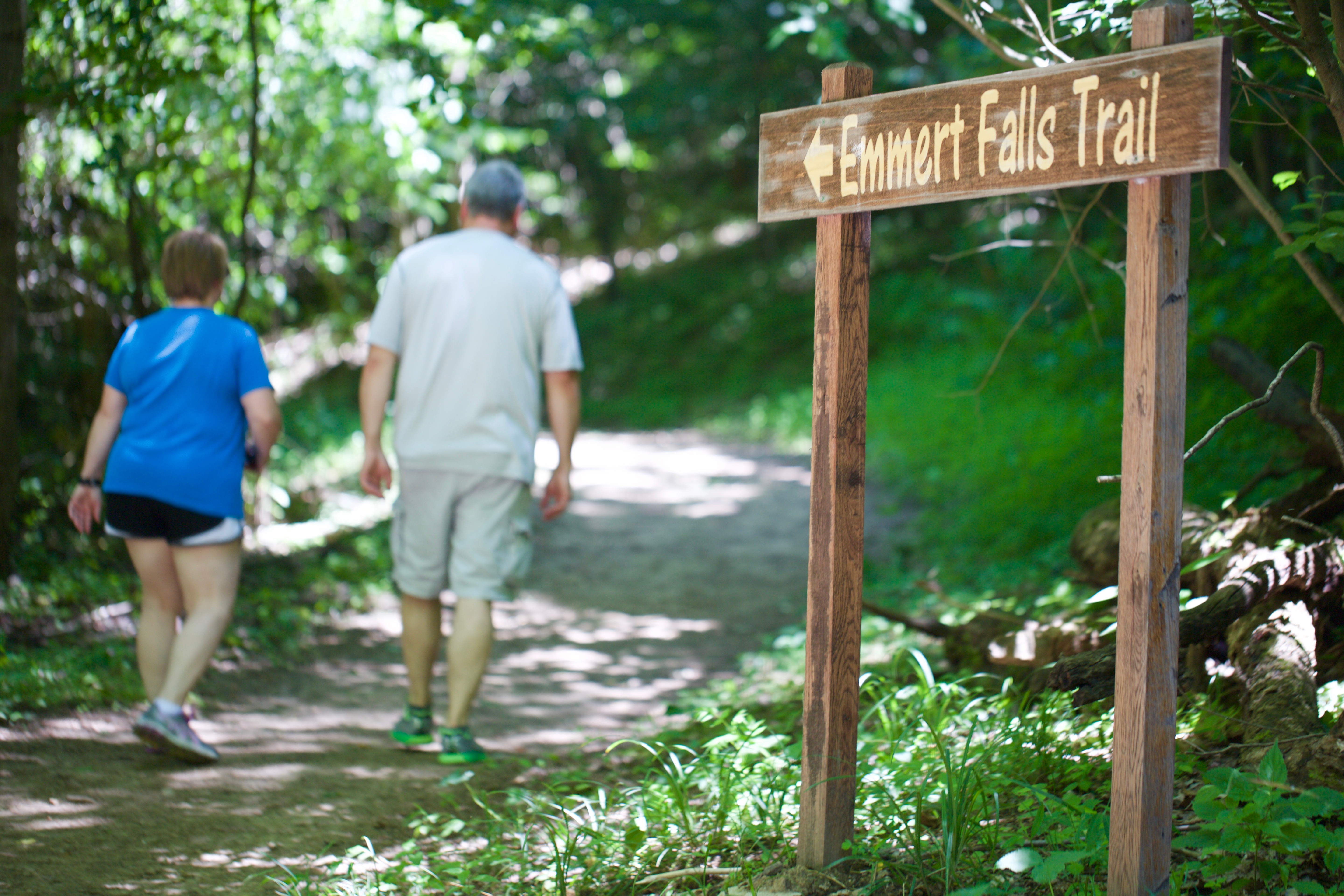
Emmert Falls Primitive Trail (1.1 miles) gently climbs through the hardwoods above, a trail spur leads to Emmert Falls and a pavilion with seating. Both trails converge at the “learning tree”, a 100-year-old Osage Orange Tree, a popular gathering spot with handmade sassafras benches. Its highlight during the spring is the wildflowers that grace the forest floor. Common species include Blue Bells, Dutchmen’s Britches, Shooting Stars, Wild Ginger, Trillium, and Yellow trout lilies.
Distance Unit:
Distance Unit: