Blackfeet Nation
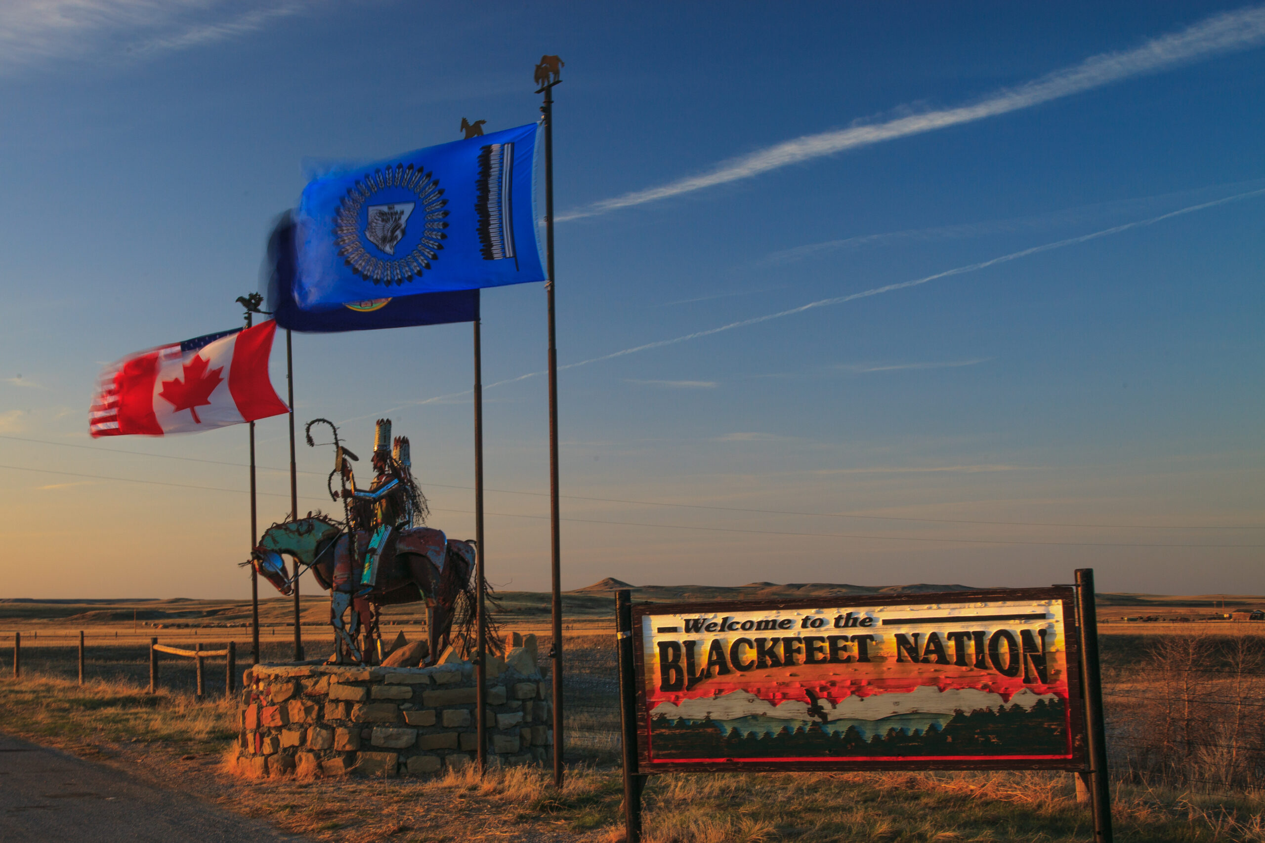
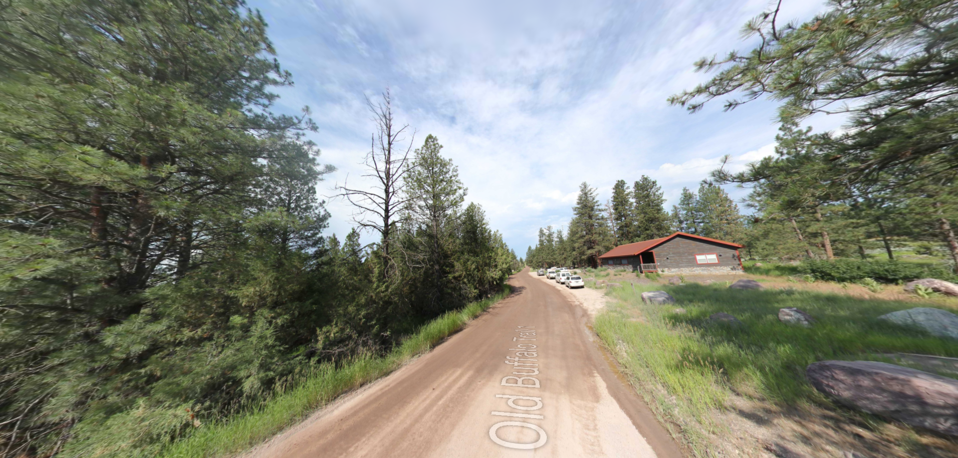
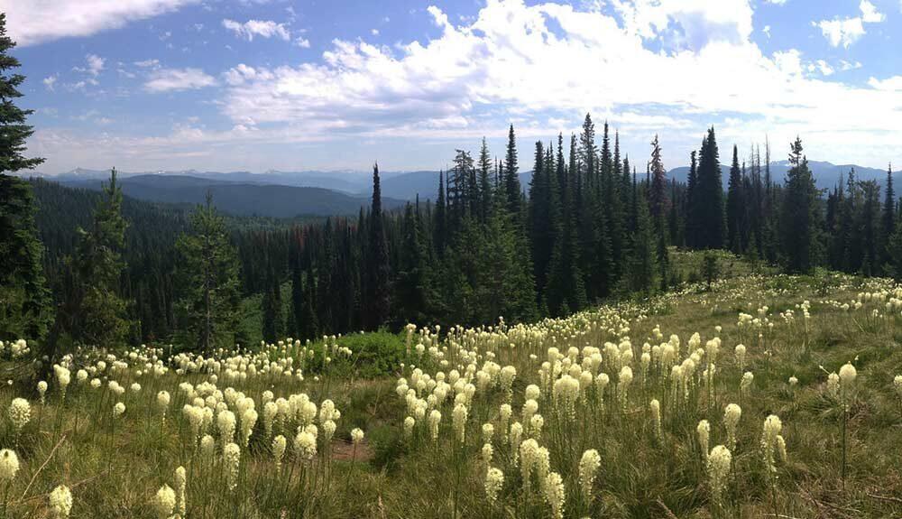
The history and culture of the Blackfeet Nation span back nearly 10,000 years of proud heritage in the Rocky Mountains. Today, Blackfeet land sits alongside the rocky ranges of Glacier National Park in Montana. It consists of 1.5 million acres of area to explore, with 518 miles of streams to traverse and 180 bodies of water to dip into. The Tribe still celebrates its extensive and continuing stories through several annual events, including the North American Indian Days and The Heart Butte Indian Days, both featuring traditional dancing, drumming and rodeos.
Year-round, visitors to the area can find an array of lodging options from a quaint campsite nestled into the Great Plains and Rockies to a luxury wilderness lodge or stay in one of the tipis set up at the Tribes campground. Several dining options are available in almost every township with delicious and local eats for the whole family to enjoy. Nature is the name of exploration in this wild and scenic land. Local guides offer a variety of hunting and fishing experiences, as well as a cultural understanding of the land. If nature is not your friend, feel free to stop by the Blackfeet Heritage Center and Art Gallery to immerse yourself in the culture. Adventure awaits you, family and friends in the Blackfeet Nation.
Distance Unit:
Distance Unit: